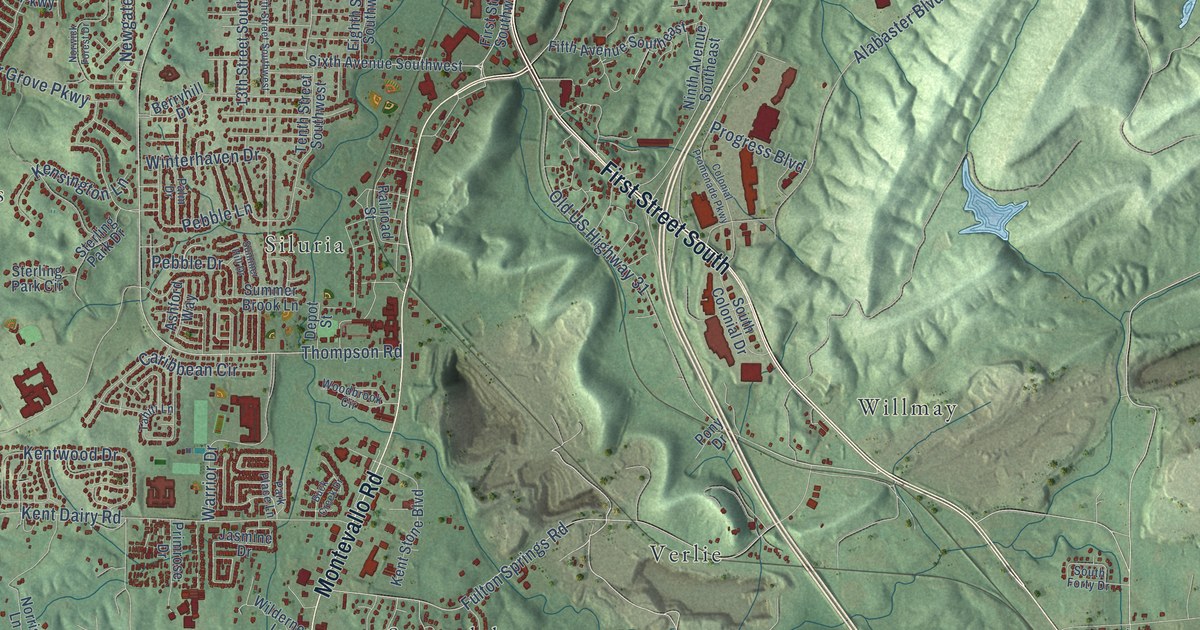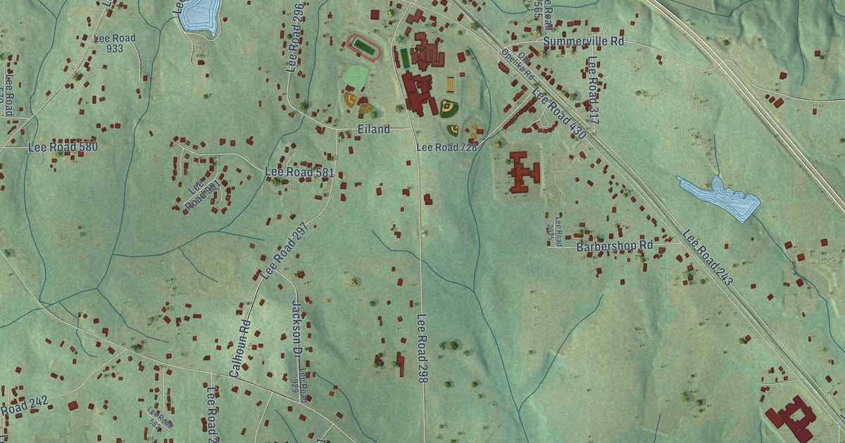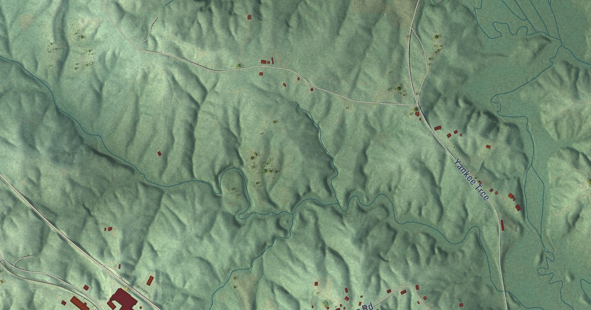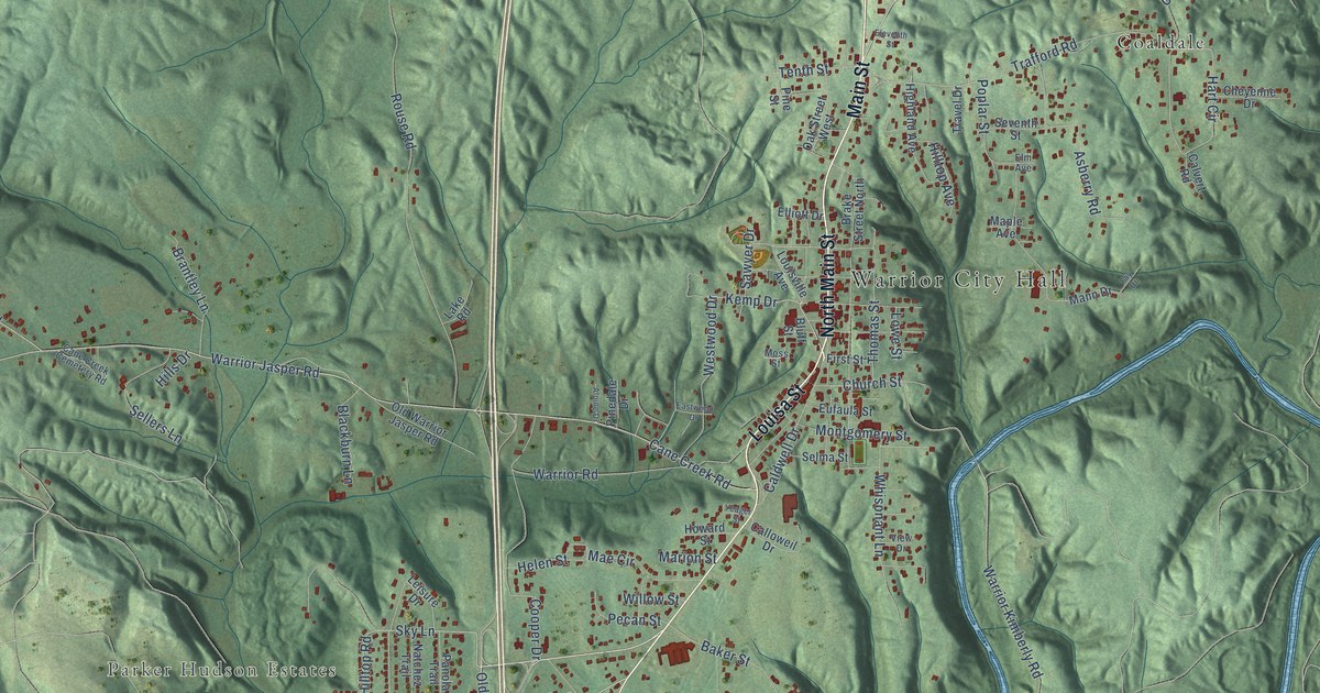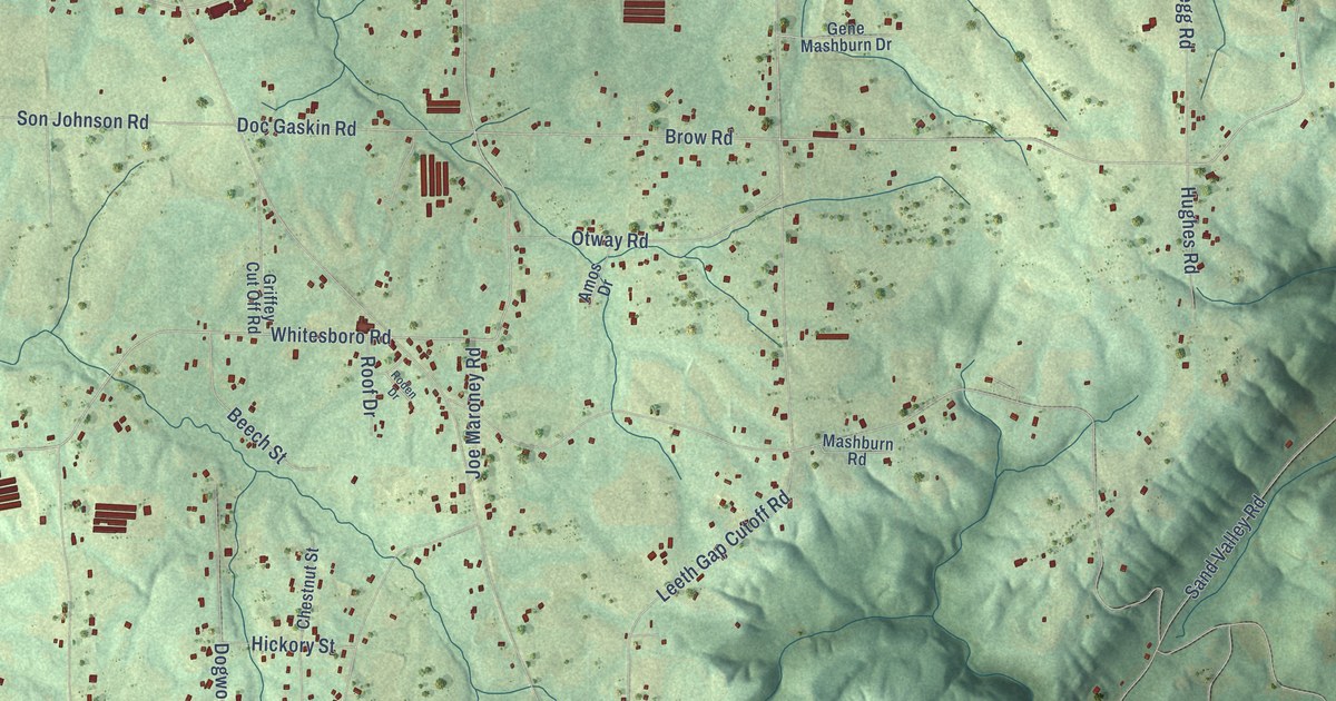
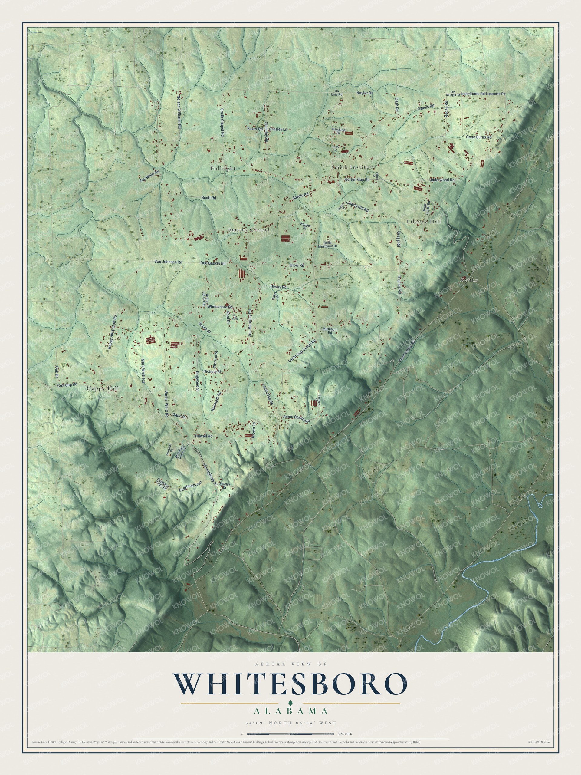
This beautifully detailed map of Whitesboro, Alabama was created in 2026 using aerial imagery combined with modern topographical, census, street and landmark data. It's a modern aerial view of Whitesboro in Etowah County, Alabama, that combines modern data with a vintage aesthetic. The roads feature printed names, and if you look closely you can find your exact house accurately shown in its correct location.
Explore an aerial view of Whitesboro, Alabama
On this map you'll find Liberty Hill, Smith Institute, Happy Hill, Smiths Chapel, Pulltight, Kyuka, Lips Comb Road, Brow Road, Roden Road, Smith Chapel Road, Sardis Road, Whitesboro Road, and more. Each red shape is a building, so zoom in on the preview and look for yours.
Every town has a first chapter, and Whitesboro is no exception. Whitesboro took its name from D. Burgess White, first pastor of the Baptist church that the Mashburn family and others organized on September 3, 1893. In the 1930s the church installed a bell that carried news to the countryside up to two miles away, depending on the wind. When it tolled for five minutes, a funeral was to be held, and farmers knew to drop their work and go help dig the grave. That's from the Boaz Heritage centennial history.
Whitesboro is a community in Etowah County. The Census Bureau counted 2,113 people here in 2020.
Take a closer look at the Whitesboro map
Names on this map
These names are printed on this map.
Places: Liberty Hill, Smith Institute, Happy Hill, Smiths Chapel, Pulltight and Kyuka.
Streets and roads: Lips Comb Road, Brow Road, Roden Road, Smith Chapel Road, Sardis Road, Whitesboro Road, Doc Gaskin Road, Sand Valley Road, Leeth Gap Road, Horton Gap Road, County Highway 27, Cox Gap Road.
More street names, A to Z
Amos Drive, Annie Gaskin Road, Baker Road, Beech Street, Brow Cutoff Road, Brown Lane, Cash Road, Chestnut Street, Chumley Road, County Line Road, Crosley Lane, Dano Drive, Dogwood Street, Dogwood Trail, Dogwood Trails Road, Gene Burns Road, Gene Mashburn Drive, Golden Drive, Gregg Road, Griffey Cut Off Road, Hallmark Road, Happy Hill Cutoff Road, Haygood Drive, Henry Drive, Hickory Street, Hooper Drive, Hughes Road, Joe Maroney Road, Leeth Gap Cutoff Road, Liberty Hill Road, Lipscomb Road, Mark Whitt Road, Mashburn Road, Mountain Creek Drive, Naylor Drive, Nelson Williams Road, Oak Drive, Old Georgia Road, Otway Road, Owens Road, Roden Drive, Rogers Road, Roof Drive, Roy Whitt Road, Scott Road, Shields Drive, Son Johnson Road, Thompson Circle, Tidwell Road, Underwood Road, Walter Whitt Road, Woodland Road.
See it on a wall
The Whitesboro map as a framed print. Swipe for more.


Created by KNOWOL in 2026. The buildings are small red shapes, the roads carry their printed names, and shaded relief shows the shape of the land. The title panel reads "AERIAL VIEW OF WHITESBORO, ALABAMA" with 34°09' NORTH 86°04' WEST.
Hang it in the hallway, the office or the cabin, or give it to someone who left Whitesboro and still calls it home. Open the preview and look for a street you know. See sizes and frames for the Whitesboro map.