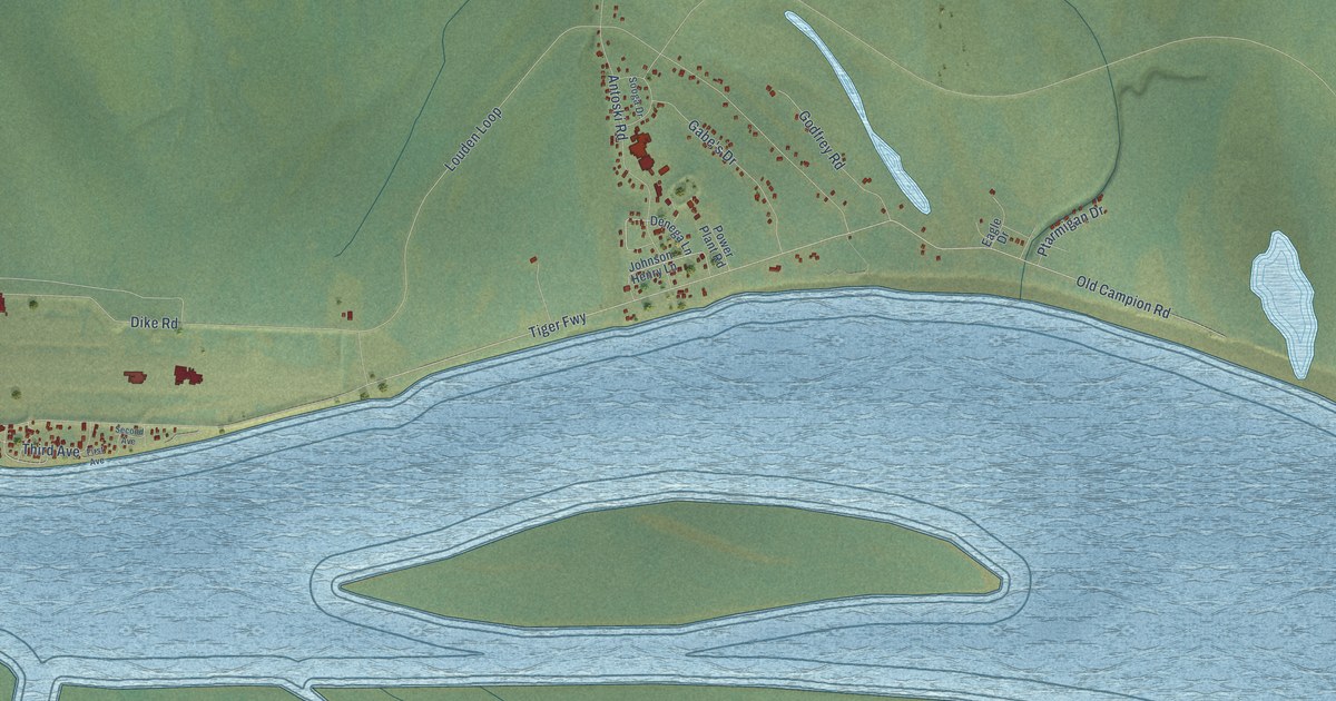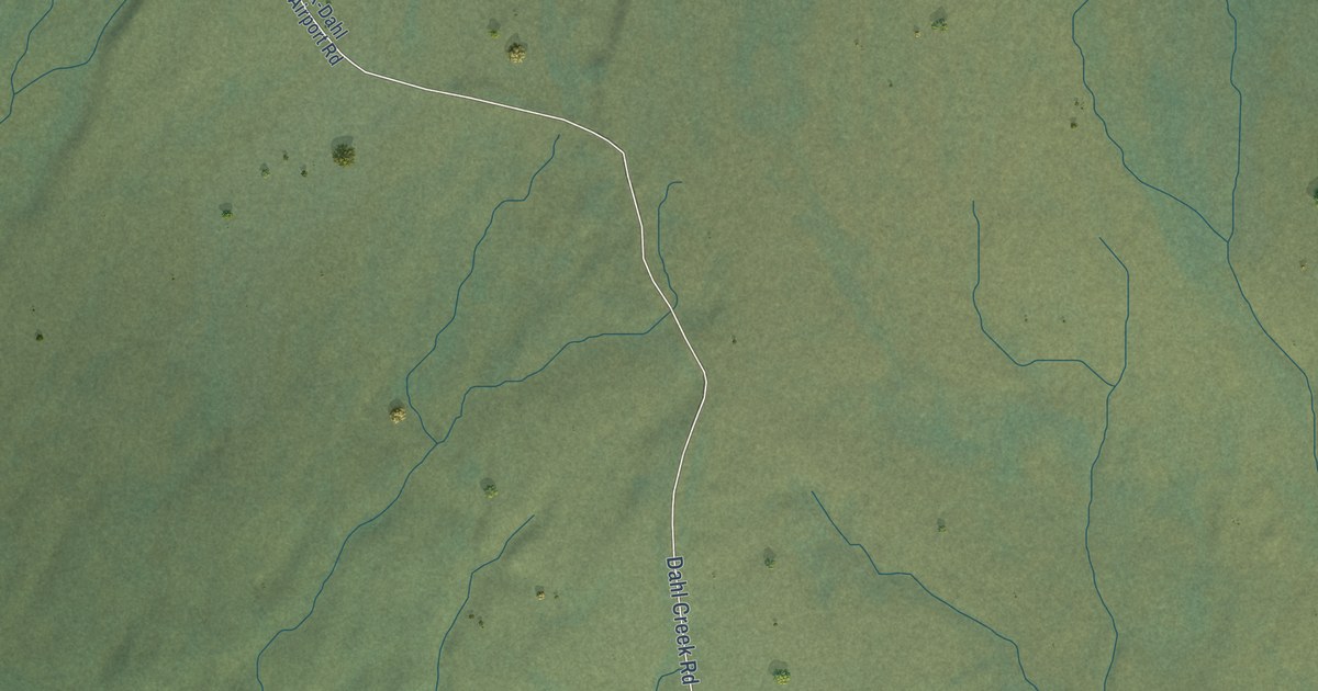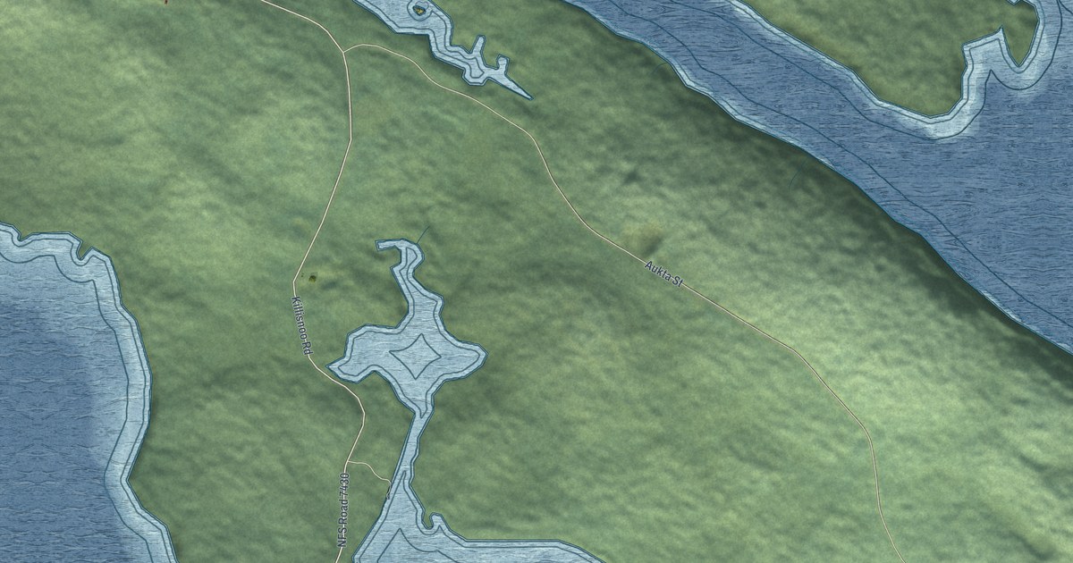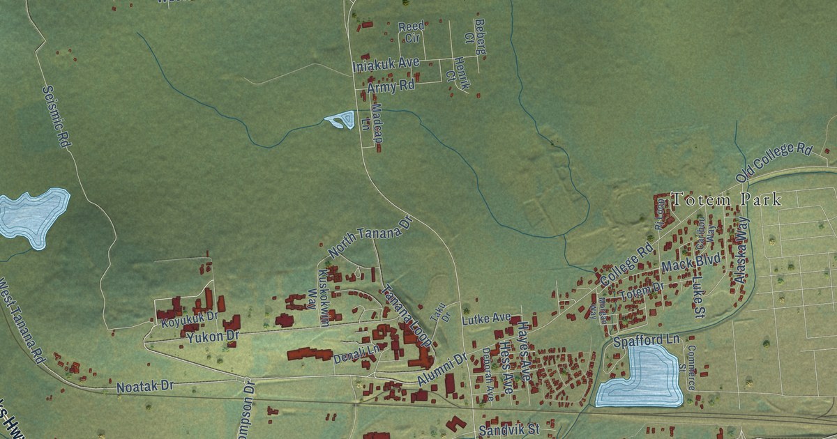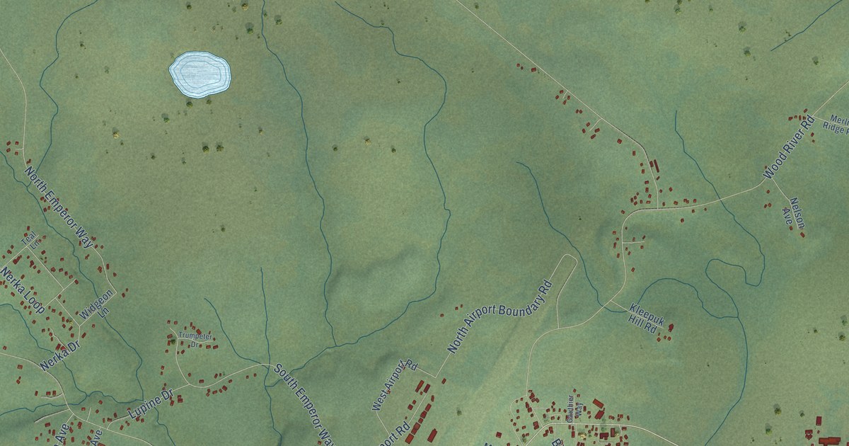
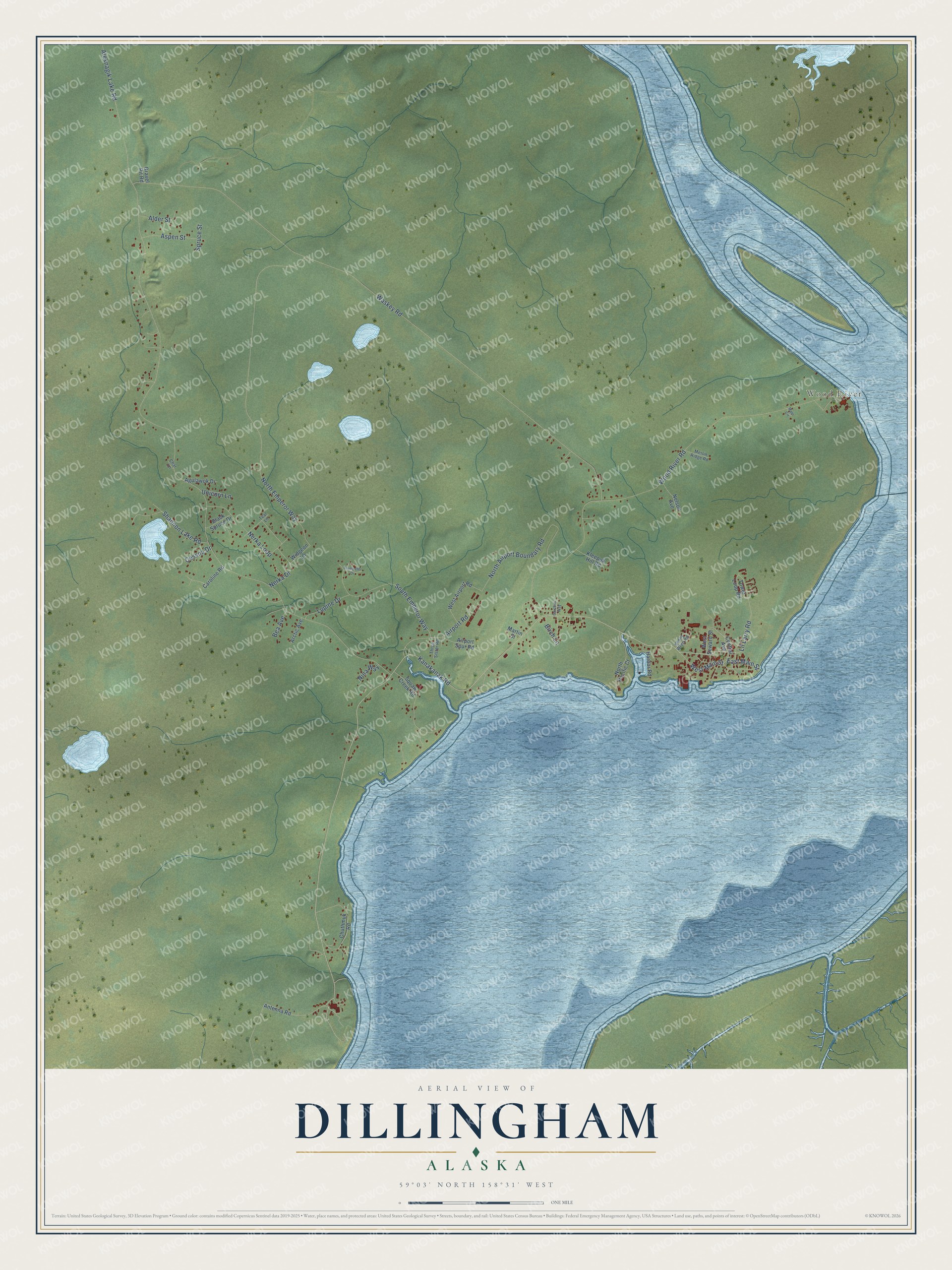
This beautifully detailed map of Dillingham, Alaska was created in 2026 using aerial imagery combined with modern topographical, census, street and landmark data. It's a modern aerial view of Dillingham in Dillingham Census Area, Alaska, that combines modern data with a vintage aesthetic. The roads feature printed names, and if you look closely you can find your exact house accurately shown in its correct location.
Explore an aerial view of Dillingham, Alaska
On this map you'll find Wood River, Kanakanak Road, Aleknagik Lake Road, Waskey Road, Wood River Road, North Emperor Way, North Airport Boundary Road, South Emperor Way, Airport Road, Nerka Loop, Lil Larry Road, Aspen Street, and more. Each red shape is a building, so zoom in on the preview and look for yours.
Here is a piece of Dillingham history, in the words of the record. The Alaska DCRA puts it this way: "In 1881 the U.S. Signal Corps established a meteorological station at Nushagak. In 1884 the first salmon cannery in the Bristol Bay region was constructed by Arctic Packing Co., east of the site of modern-day Dillingham."
Dillingham is a city in Dillingham Census Area. The Census Bureau counted 2,249 people here in 2020.
Take a closer look at the Dillingham map
Names on this map
These names are printed on this map.
Places: Wood River.
Streets and roads: Kanakanak Road, Aleknagik Lake Road, Waskey Road, Wood River Road, North Emperor Way, North Airport Boundary Road, South Emperor Way, Airport Road, Nerka Loop, Lil Larry Road, Aspen Street, Shannon Lake Road.
More street names, A to Z
Agulawok Drive, Airport Spur Road, Alder Street, Antenna Road, Arctic Avenue, Bea Avenue, Birch Lane, Black Spruce Drive, Caroline Road, Central Avenue, Cessna Drive, Char Lane, Chuthmuk Road, East Main Street, Gauthier Way, Gravel Pit Road, Harbor Road, Kenny Wren Road, Kleepuk Hill Road, Lupine Drive, Maqi Circle, Martin Street, Merlin Ridge Road, Nelson Avenue, Nerka Drive, Nina Way, North Pacific Court, Spruce Street, Teal Lane, Three Sister Road, Tower Loop Road, Trumpeter Drive, Unicorn Lane, West Airport Road, West Main Street, West Seward Street, Widgeon Lane.
Created by KNOWOL in 2026. The buildings are small red shapes, the roads carry their printed names, and shaded relief shows the shape of the land. The title panel reads "AERIAL VIEW OF DILLINGHAM, ALASKA" with 59°03' NORTH 158°31' WEST.
It suits a den, a classroom or a front hall, and it makes a gift for anyone with Dillingham roots. Open the preview and find the block you know. See sizes and frames for the Dillingham map.