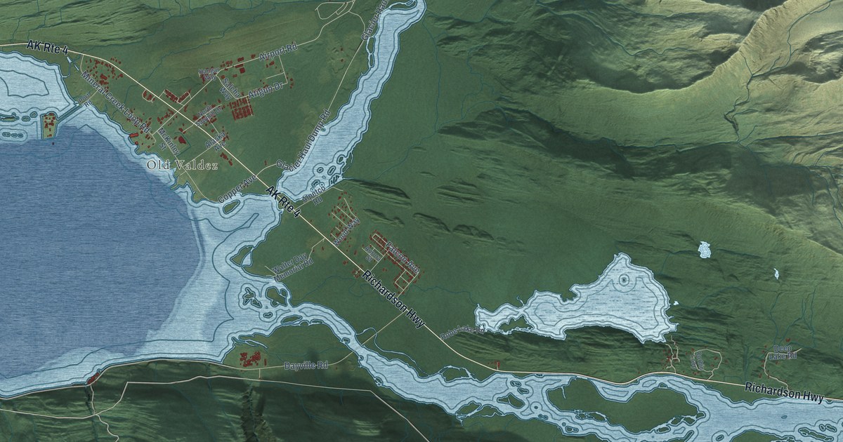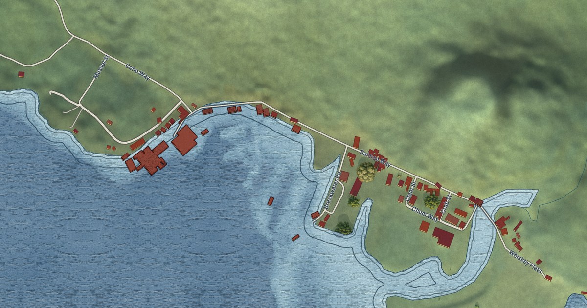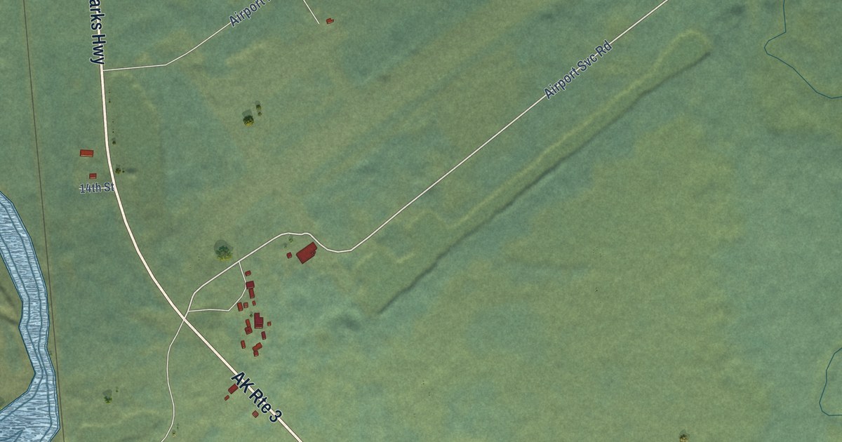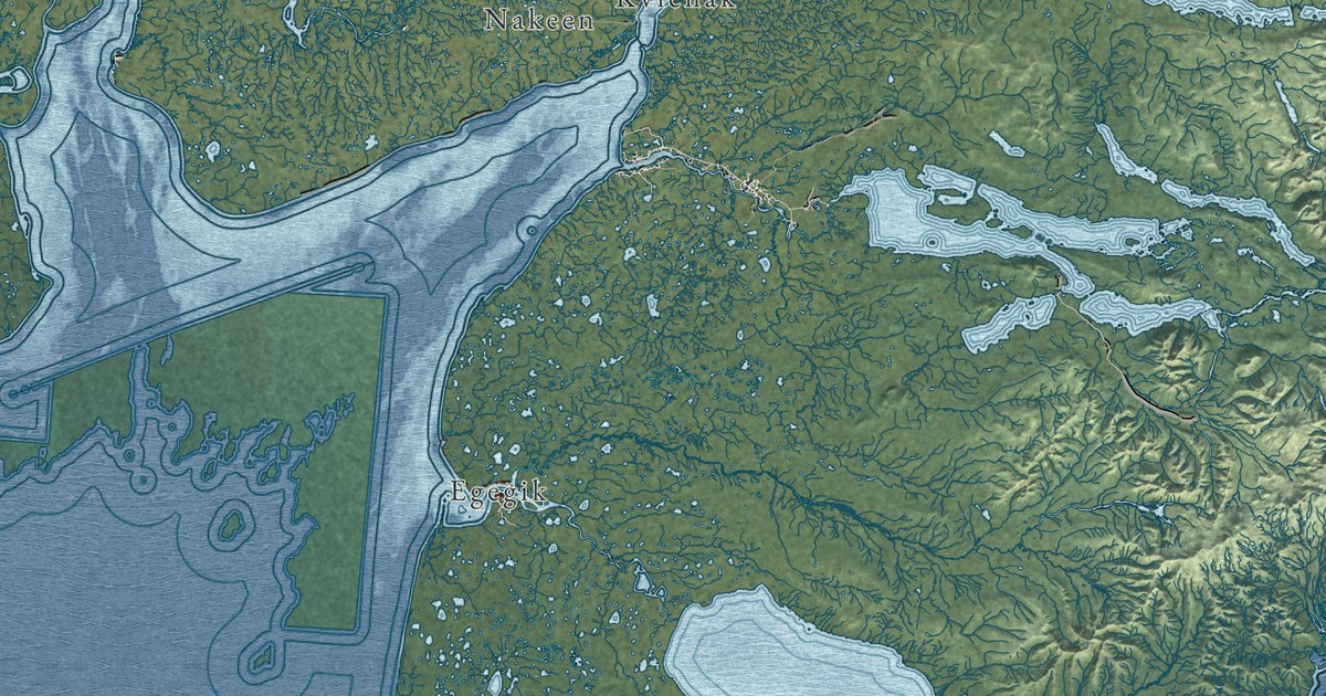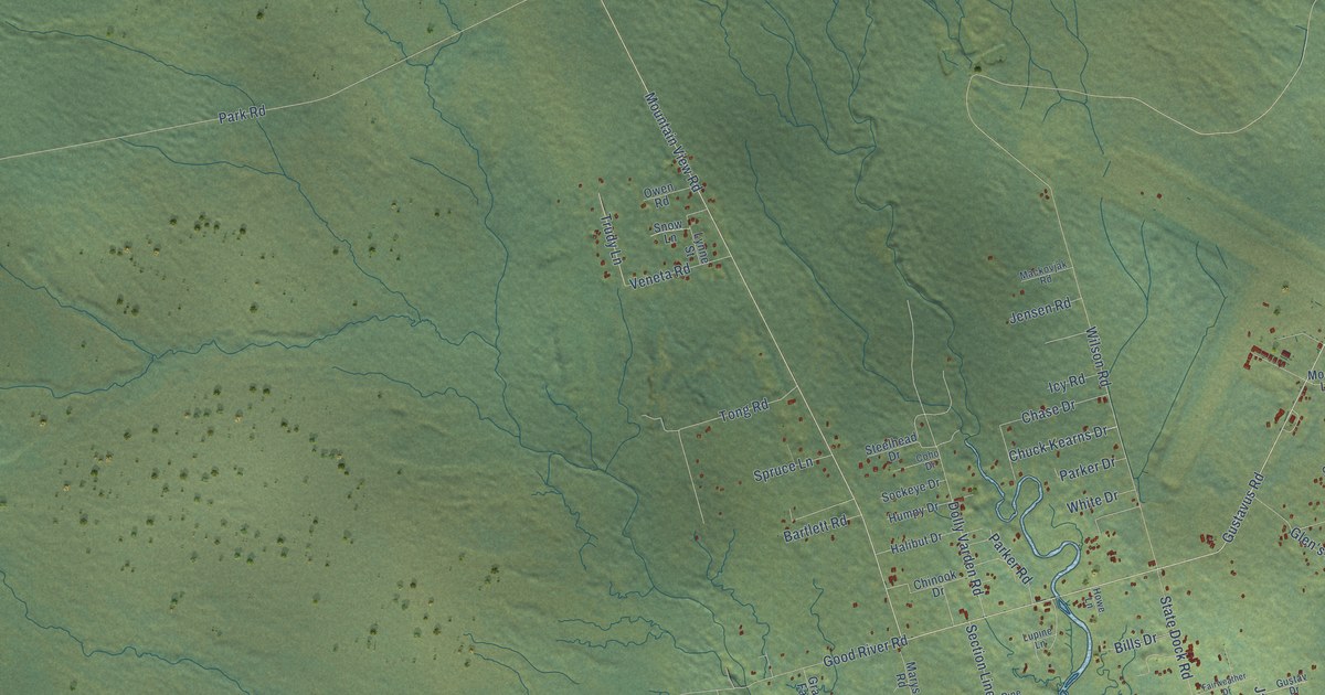
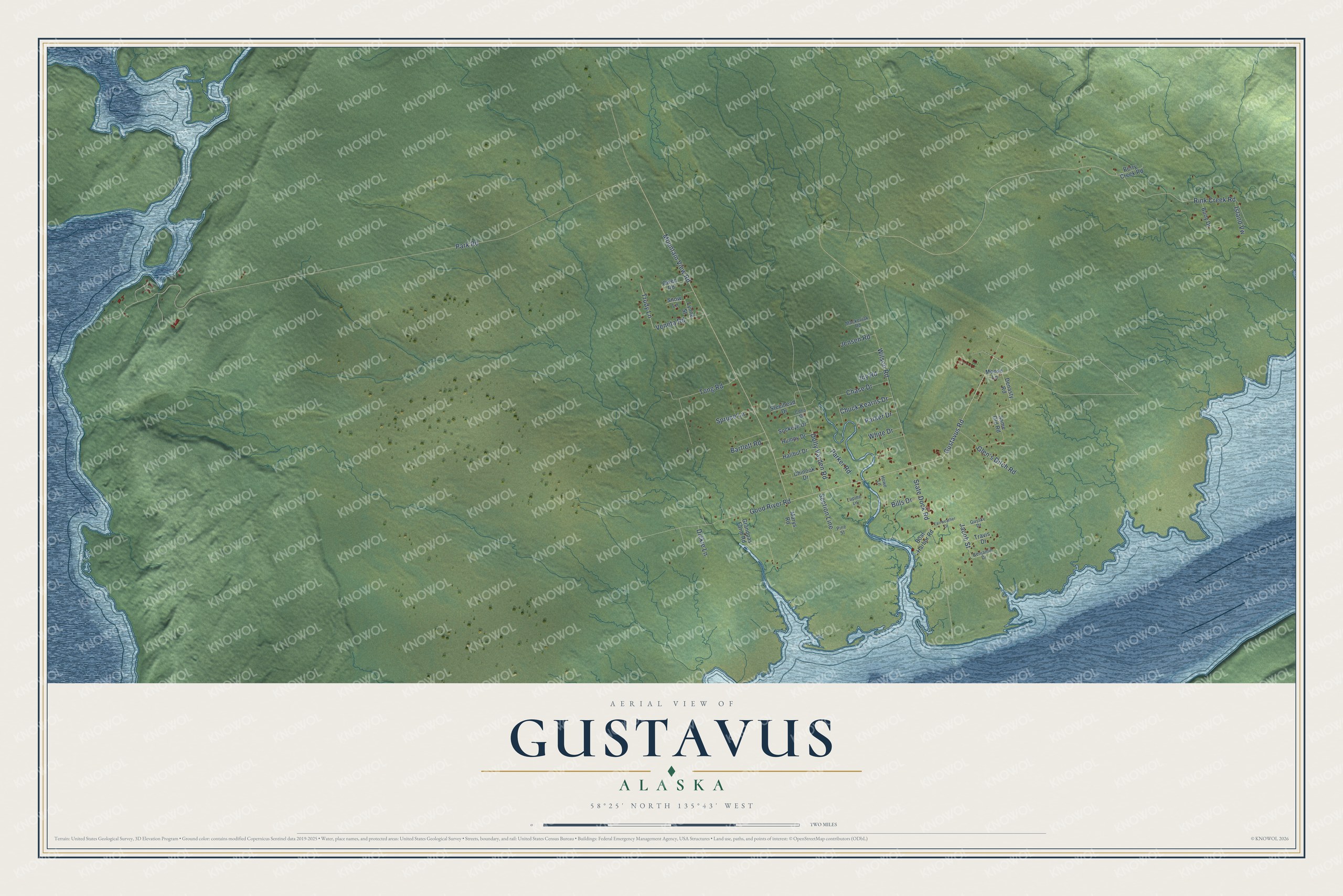
This beautifully detailed map of Gustavus, Alaska was created in 2026 using aerial imagery combined with modern topographical, census, street and landmark data. It's a modern aerial view of Gustavus in Hoonah-Angoon Census Area, Alaska, that combines modern data with a vintage aesthetic. The roads feature printed names, and if you look closely you can find your exact house accurately shown in its correct location.
Explore an aerial view of Gustavus, Alaska
On this map you'll find Gustavus Road, Mountain View Road, Rink Creek Road, Jacob Street, Park Road, Wilson Road, State Dock Road, Dolly Varden Road, Good River Road, Tong Road, Glen's Ditch Road, Chase Drive, and more. Each red shape is a building, so zoom in on the preview and look for yours.
Here is a piece of Gustavus history, in the words of the record. The Alaska DCRA puts it this way: "Several hundred head of imported cattle grazed the flats, and fields of hay, rutabagas and other root crops were harvested. Glacier Bay National Monument (including Gustavus) was established by President Calvin Coolidge in 1925."
Gustavus is a city in Hoonah-Angoon Census Area. The Census Bureau counted 655 people here in 2020.
Take a closer look at the Gustavus map
Names on this map
These names are printed on this map.
Streets and roads: Gustavus Road, Mountain View Road, Rink Creek Road, Jacob Street, Park Road, Wilson Road, State Dock Road, Dolly Varden Road, Good River Road, Tong Road, Glen's Ditch Road, Chase Drive.
More street names, A to Z
Bartlett Road, Benjamin Drive, Berry Creek Road, Bills Drive, Boat Harbor Road, Buoy Drive, Chinook Drive, Chuck Kearns Drive, Coho Drive, Denasty Road, Dickie Lane, Fairweather Drive, Grandpas Farm Road, Gustav Drive, Halibut Drive, Howe Lane, Humpy Drive, Icy Road, Island Vw, Jensen Road, Lupine Lane, Lynne Street, Mackovjak Road, Marys Road, Moose Lane, Owen Road, Parker Drive, Parker Road, Pine Street, Same Old Road, Section Line, Snow Lane, Sockeye Drive, Spruce Lane, Steelhead Drive, Travis Drive, Trudy Lane, Veneta Road, White Drive.
Created by KNOWOL in 2026. The buildings are small red shapes, the roads carry their printed names, and shaded relief shows the shape of the land. The title panel reads "AERIAL VIEW OF GUSTAVUS, ALASKA" with 58°25' NORTH 135°43' WEST.
It suits a den, a classroom or a front hall, and it makes a gift for anyone with Gustavus roots. Open the preview and find the block you know. See sizes and frames for the Gustavus map.