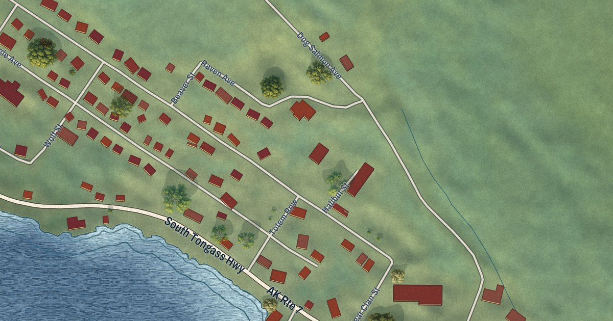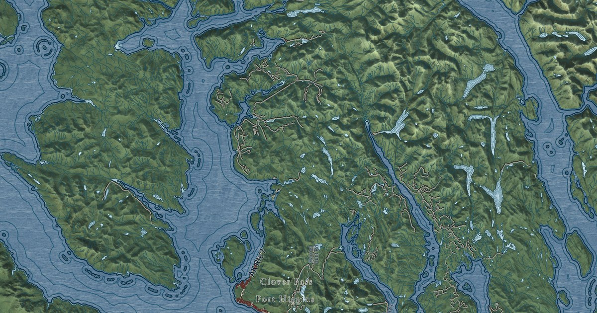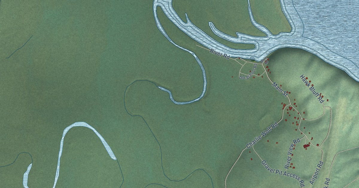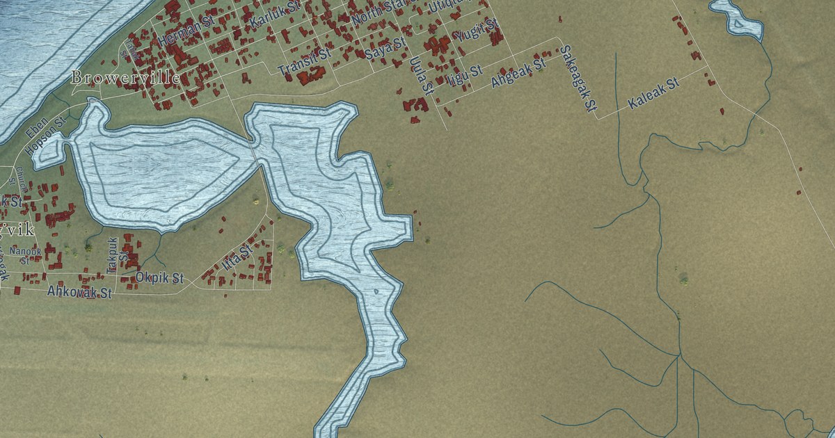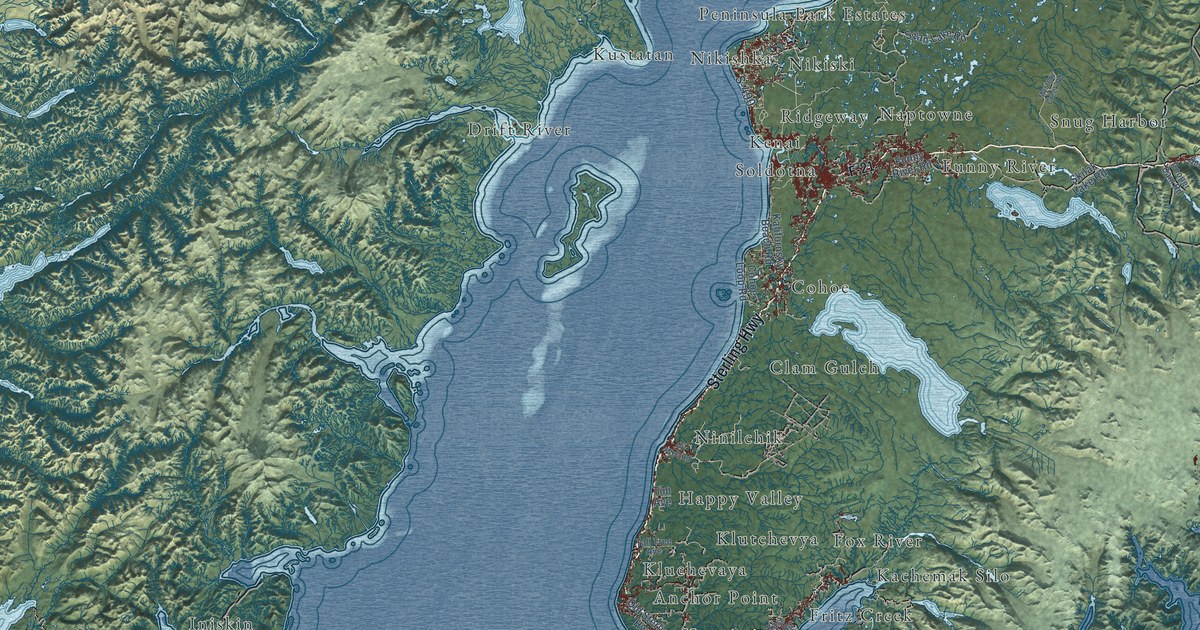
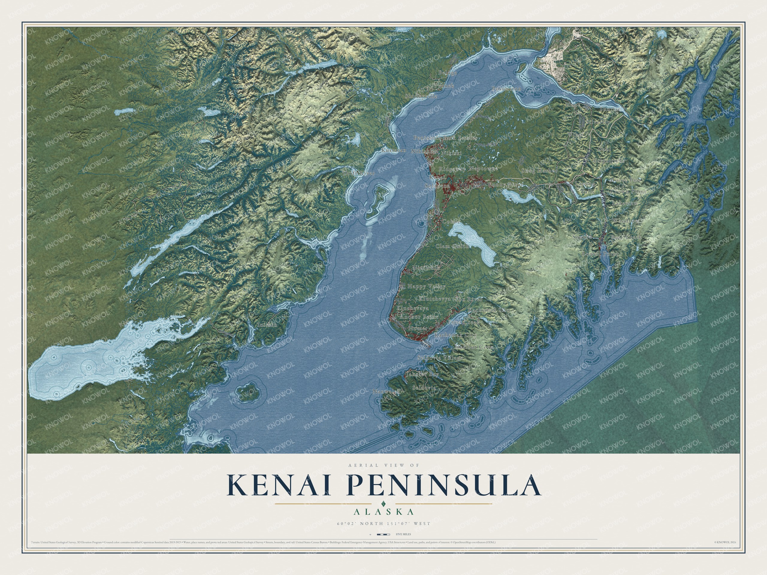
This beautifully detailed map of Kenai Peninsula, Alaska was created in 2026 using aerial imagery combined with modern topographical, census, street and landmark data. It's a modern aerial view of Kenai Peninsula in Kenai Peninsula Borough, Alaska, that combines modern data with a vintage aesthetic. The roads feature printed names, and if you look closely you can find your exact house accurately shown in its correct location.
Explore an aerial view of Kenai Peninsula, Alaska
On this map you'll find Anchor Point, Bear Creek, Beluga, Clam Gulch, Cohoe, Crown Point, Dahl, Drift River, Falls, Fox River, Fritz Creek, Funny River, and more. Each red shape is a building, so zoom in on the preview and look for yours.
Here is a piece of Kenai Peninsula history, in the words of the record. The Alaska DCRA puts it this way: "The City of Kenai was founded in 1791 as a Russian fur trading post. In the early 1900s, cannery operations and construction of the railroad spurred development."
Kenai Peninsula is a borough in Kenai Peninsula Borough. The Census Bureau counted 58,799 people here in 2020.
Take a closer look at the Kenai Peninsula map
Names on this map
These names are printed on this map.
Places: Anchor Point, Bear Creek, Beluga, Clam Gulch, Cohoe, Crown Point, Dahl, Drift River, Falls, Fox River, Fritz Creek, Funny River, Gilpatricks, Halibut Cove, Happy Valley, Homer, Hope, Iniskin, Jakolof Bay, Kachemak City, Kachemak Silo, Kenai, Kluchevaya, Klutchevya, Kustatan, Lakeview, Lawing, Lowell Point, Moose Pass, Nanwalek, Naptowne, Nikishka, Nikiski, Ninilchik, Peninsula Park Estates, Possession, Ridgeway, Seldovia, Seldovia Village, Seward, Shirleyville, Silvertip, Snug Harbor, Soldotna, Sunrise, Tyonek, Wibel and Woodrow.
Streets and roads: AK Route 1, Seward Highway, Sterling Highway, AK Route 9, S-490, F-21, Kalifornsky Beach Road, Skilak Lake Road, Hope Highway, Funny River Road, Cohoe Loop Road, Oil Gas Field.
More street names, A to Z
Beluga Highway, Cooper Dam Road, East End Road, Homer Spit Road, Mystery Creek Road, Oil Road Pvt, Oil Well Road, Old Sterling Highway, Palmer Creek Road, Sea Lion Road, Snug Harbor Road, Swan Lake Road, Tall Tree Avenue, Tim Avenue, Williamsport Road.
Created by KNOWOL in 2026. The buildings are small red shapes, the roads carry their printed names, and shaded relief shows the shape of the land. The title panel reads "AERIAL VIEW OF KENAI PENINSULA, ALASKA" with 60°02' NORTH 151°07' WEST.
It suits a den, a classroom or a front hall, and it makes a gift for anyone with Kenai Peninsula roots. Open the preview and find the block you know. See sizes and frames for the Kenai Peninsula map.