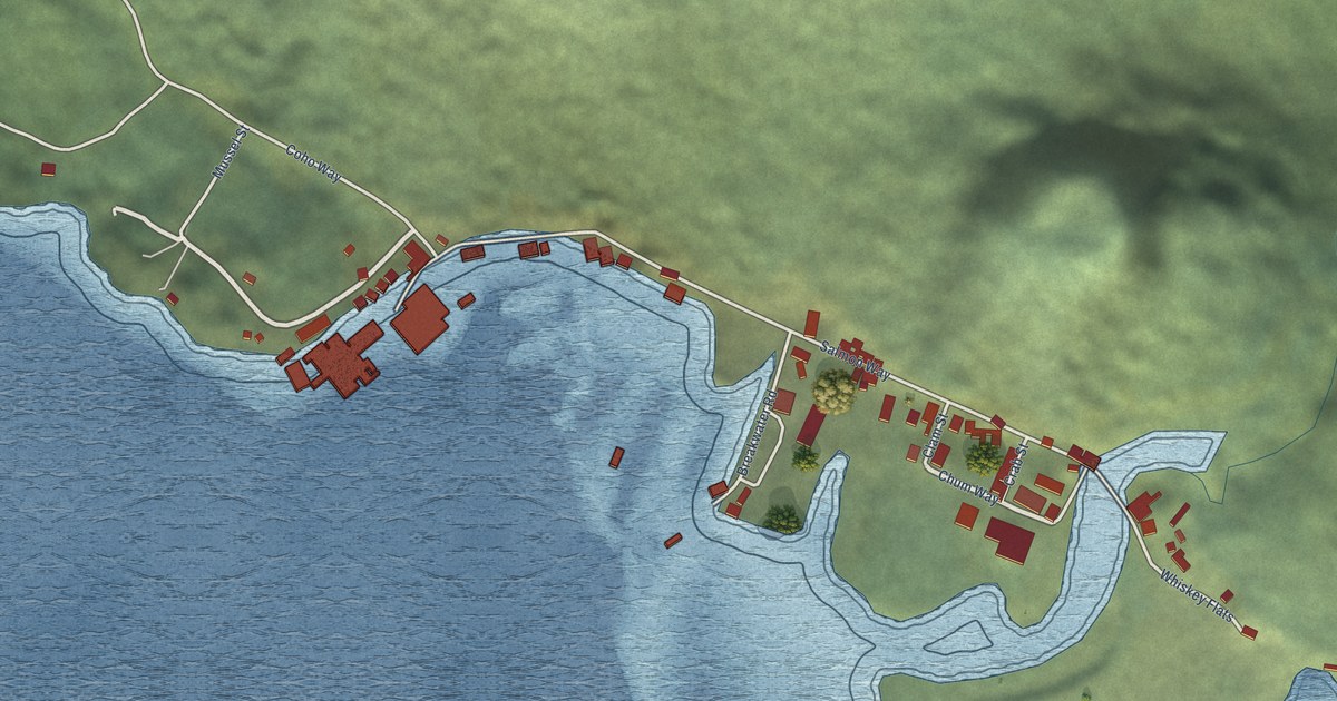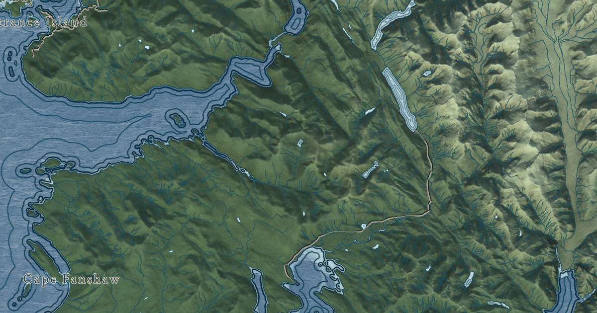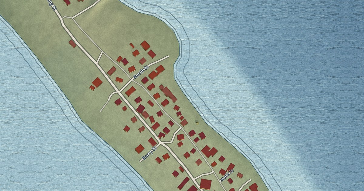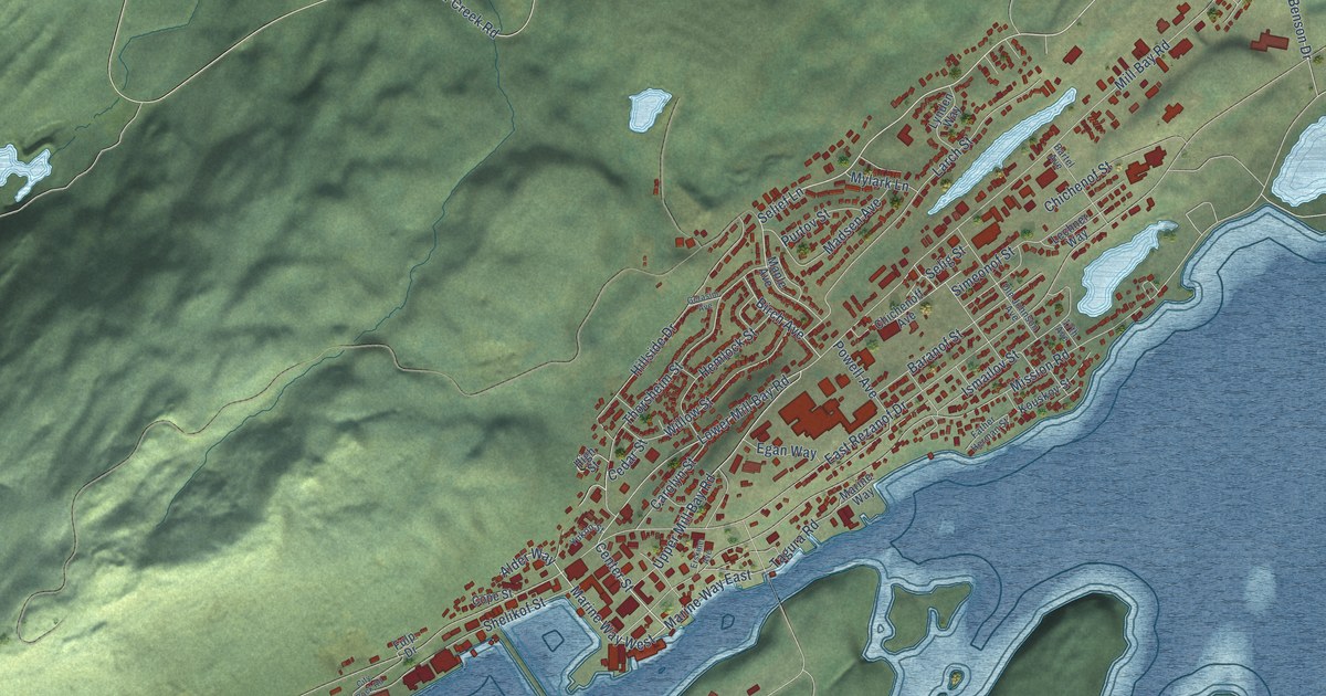
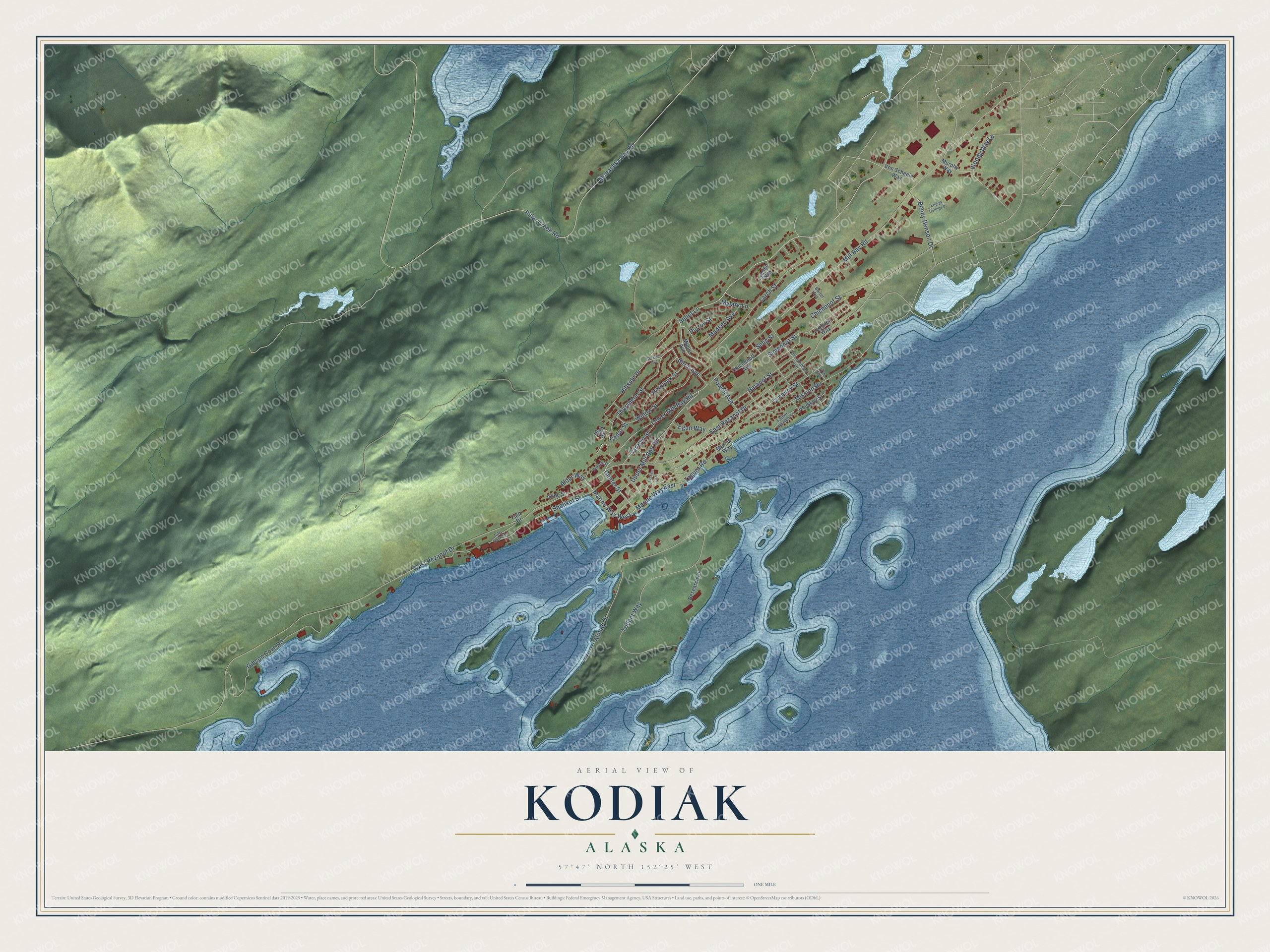
This beautifully detailed map of Kodiak, Alaska was created in 2026 using aerial imagery combined with modern topographical, census, street and landmark data. It's a modern aerial view of Kodiak in Kodiak Island Borough, Alaska, that combines modern data with a vintage aesthetic. The roads feature printed names, and if you look closely you can find your exact house accurately shown in its correct location.
Explore an aerial view of Kodiak, Alaska
On this map you'll find Marine Way West, Center Street, Selief Lane, Ismailov Street, Lower Mill Bay Road, Woody Way Lp, Benny Benson Drive, East Rezanof Drive, Mill Bay Road, West Rezanof Drive, Mission Road, Alimaq Drive, and more. Each red shape is a building, so zoom in on the preview and look for yours.
Kodiak has a story worth telling. The record at alaskahistoricalsociety.org puts it this way: "Ok- admittedly it was at the Three Saint Bay settlement on Kodiak Island that the first garden was planted, which was also the first Russian settlement in Alaska."
Kodiak is a city in Kodiak Island Borough. The Census Bureau counted 5,581 people here in 2020.
Take a closer look at the Kodiak map
Names on this map
These names are printed on this map.
Streets and roads: Marine Way West, Center Street, Selief Lane, Ismailov Street, Lower Mill Bay Road, Woody Way Lp, Benny Benson Drive, East Rezanof Drive, Mill Bay Road, West Rezanof Drive, Mission Road, Alimaq Drive.
More street names, A to Z
17th Avenue, Alder Way, Baranof Street, Bartel Avenue, Birch Avenue, Carolyn Street, Cedar Street, Chichenoff Avenue, Chichenof Street, City Dock Road, Cope Street, Egan Way, Erskine Avenue, Father Herman Street, Fulp Drive, Gerasim Avenue, Gibson Cove Road, Hemlock Street, High Street, Hillside Drive, Kodiak College Drive, Kouskov Street, Larch Street, Lechner Way, Lynden Way, Madsen Avenue, Maple Avenue, Marine Way, Marine Way East, Monashka Bay Road, Murphy Way, Mylark Lane, Ole Johnson Avenue, Pillar Creek Road, Powell Avenue, Purtov Street, Research Court, Selig Street, Shelikof Street, Simeonof Street, Tagura Road, Thorsheim Street, Trident Way, Upper Mill Bay Road, Von Scheele Way, Willow Street, Yukon Street.
Created by KNOWOL in 2026. The buildings are small red shapes, the roads carry their printed names, and shaded relief shows the shape of the land. The title panel reads "AERIAL VIEW OF KODIAK, ALASKA" with 57°47' NORTH 152°25' WEST.
It looks right in a kitchen, an office or a den, and it's a gift for anyone who grew up in Kodiak or moved away. Open the preview and find your street. See sizes and frames for the Kodiak map.