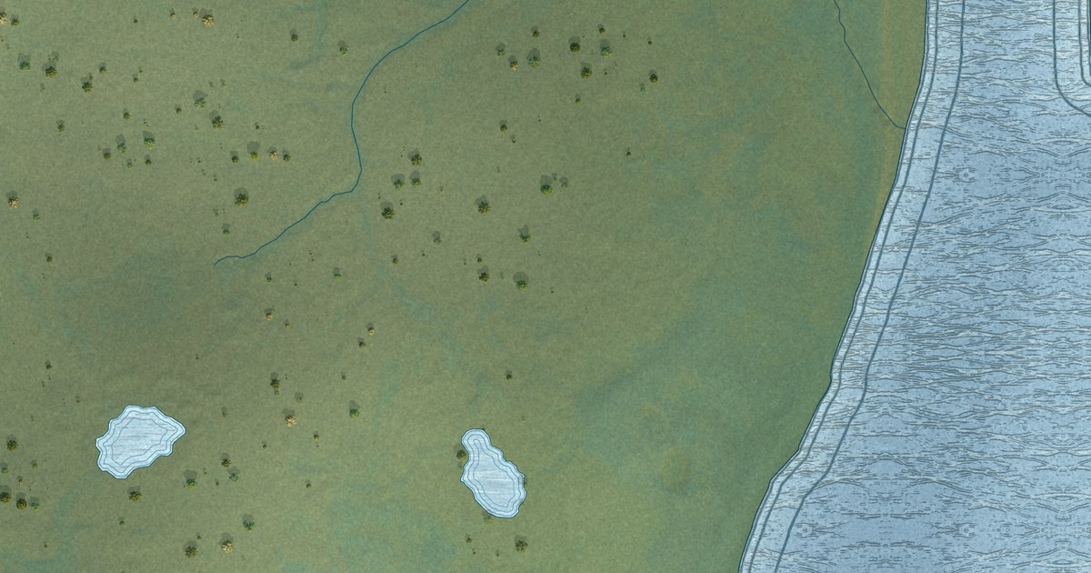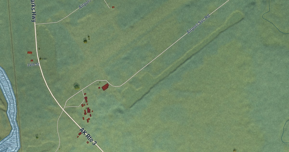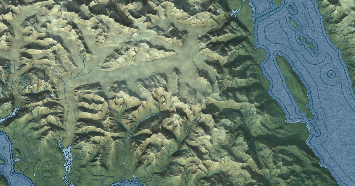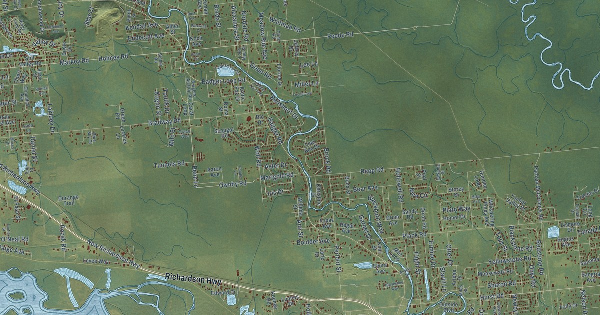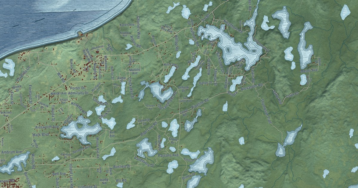
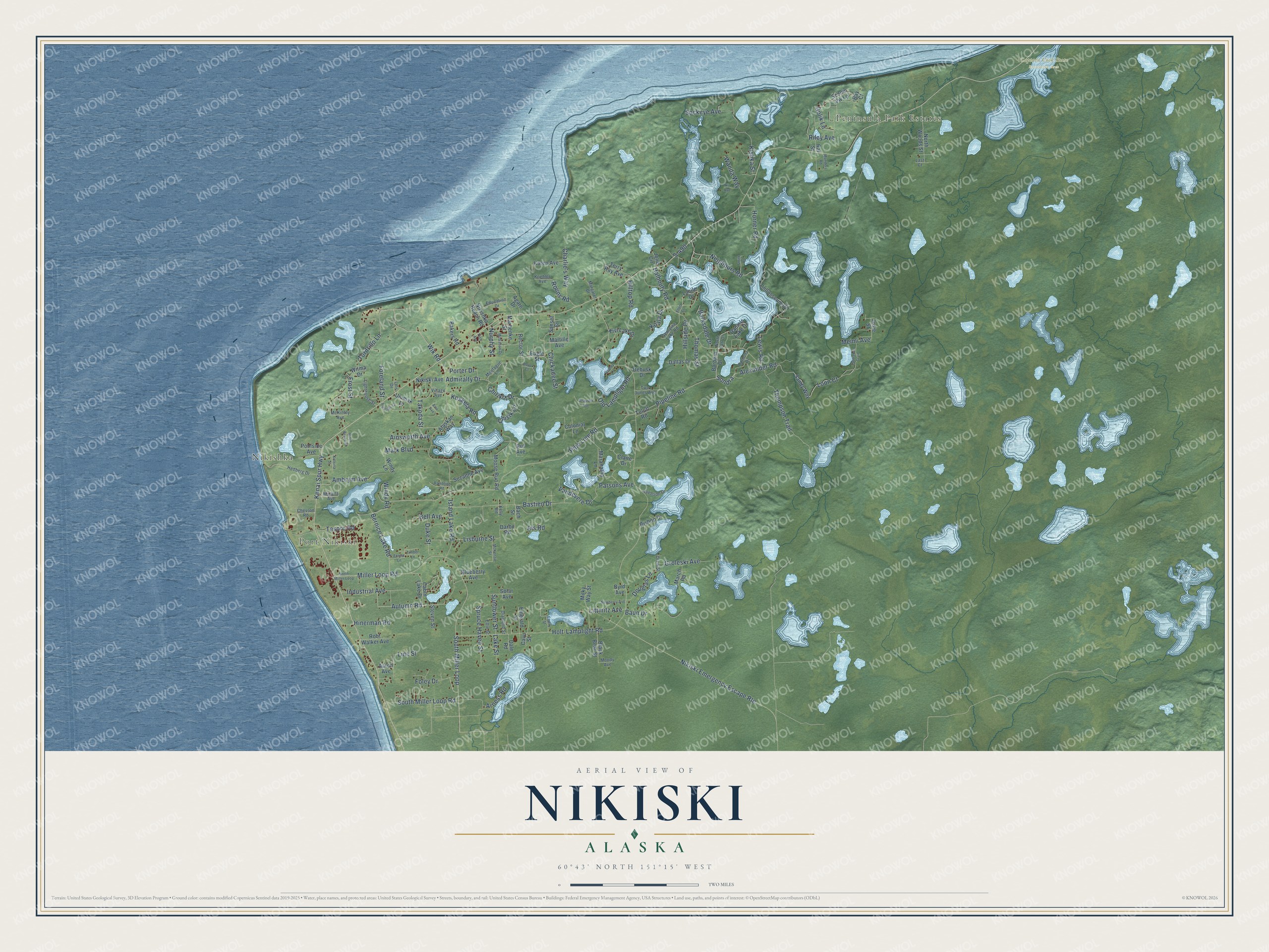
This beautifully detailed map of Nikiski, Alaska was created in 2026 using aerial imagery combined with modern topographical, census, street and landmark data. It’s a one-of-a-kind view of Nikiski that combines accurate data with a vintage aesthetic. The map shows every building in its true location, many of the roads carry their names, and the shaded topographic relief shows the shape of the land.
Explore an aerial view of Nikiski, Alaska
On the map you’ll find Nikishka, Port Nikiski, Peninsula Park Estates, Captain Cook State Recreation Area, Sondra, S-490, and Nikiski Emergency Escape Rte, along with Neighbors Road, Alexander Road, Wik Road, Golik Lane, Pipeline Road, and more. Nikiski sits about 9 miles north of Salamatof, 11 miles north of Kenai and 15 miles northwest of Ridgeway. If you look closely you can even find your house accurately drawn in its correct location. Zoom in on the preview to look for yours.
Take a closer look at the Nikiski map
Names on this map
These names are printed on this map.
Places: Nikishka, Port Nikiski, Peninsula Park Estates and Captain Cook State Recreation Area.
Streets and roads: Neighbors Road, Sondra, S-490, Alexander Road, Nikiski Emergency Escape Route, Wik Road, Golik Lane, Pipeline Road, Pipe Line Road, Kenai Spur Highway, Miller Loop Road, South Miller Loop.
More street names, A to Z
Aaron Avenue, Admiralty Drive, Agate Drive, Ainsworth Avenue, Alaskan Way, Aleutian Court, Als Road, Ambrym Avenue, Arness Road, Attu Avenue, Autumn Road, Bach Street, Bakers Road, Barbara Drive, Barksdale Drive, Bastien Drive, Baun Drive, Bay Court, Bell Avenue, Bernice Lake Road, Birch Grove Street, Bishop Drive, Black Bear Street, Blueberry Avenue, Byrd Avenue, Cabin Lake Drive, Cavu Street, Charlie's Way, Chevron Road, Chickadee Street, Chirikof Drive, Chisik Lane, Claire Drive, Collosseum Court, Colonial Lane, Dale Road, Dallas Drive, Daniels Lake Drive, Darby Road, Debusk Drive, Diamond Street, Douglas Lane, Dove Court, Drew Street, Duke Street, Eagle Street, Education Drive, Effie Street, Ellen Street, Emerald Street, Emery Street, Evenson Drive, Fish Avenue, Foley Drive, Foreland Street, Forest Lane, Frost Street, Georgine Lake Road, Grayson Avenue, Groleski Avenue, Halbouty Road, Hedberg Drive, Hillside Drive, Hilltop Road, Hinerman Road, Holt-Lamplight Road, Horner Road, Industrial Avenue, Island Lake Road, Jolie Circle, Josie Street, Karen Avenue, Kelly Road, Kishka Street, Kivi Lake Drive, Koala Drive, Koehler Avenue, Koskela Road, Kotsina Street, Lake Street, Last Court, Lewis Road, Lighthouse Street, Line Street, Lisburne Street, Littmitz Avenue, Lois Drive, Loon Court, Lucile Drive, Malaita Avenue, Manders Road, Maranatha Lane, March Road, Margaret Drive, Marhenke Street, Mark Boulevard, Martille Avenue, McGahan Drive, McKenzie Street, McKinley Avenue, Meimi Avenue, Milky Way Street, Montague Lane, Moody Avenue, Moose Run Road, Newberry Avenue, Nikishka Beach Road, Nikiski Avenue, North Earl Drive, North Miller Loop, North Woods Street, Nurphy Street, Old Lamplight Road, Osprey Lane, Parsons Avenue, Poolside Avenue, Porter Drive, Ral Street, Rambling Road, Ramona Drive, Rector Street, Riley Avenue, Rj Avenue, Robt Walker Avenue, Rouns Road, Rut Avenue, Sandy Way, Scenic Vw Lp, Smith Road, Sockeye Avenue, Solar Avenue, South Miller Loop Road, Spruce Haven Street, Steven Street, Sunflower Street, Sunset Street, Suzanne Avenue, Takoda Street, Taurianen Trail, Terry Ray Avenue, Tesoro Road, Thomas Street, Thompson Trail, Timber Lane, Toloff Road, Tordrillo Lane, Two Junes Avenue, Unimak Drive, Vandevere Drive, Village Avenue, Wanda Way, Wilma Drive, Windy Lane, Windy Road.
See it on a wall
The Nikiski map as a framed print. Swipe for more.


This beautifully detailed map of Nikiski makes an attractive addition to your office, library, or den, and it can even be used to teach children the geography and history of the area. It also makes a great gift for anyone who grew up in Nikiski or moved away. When you’re done exploring, click here to get your copy of the Nikiski map.