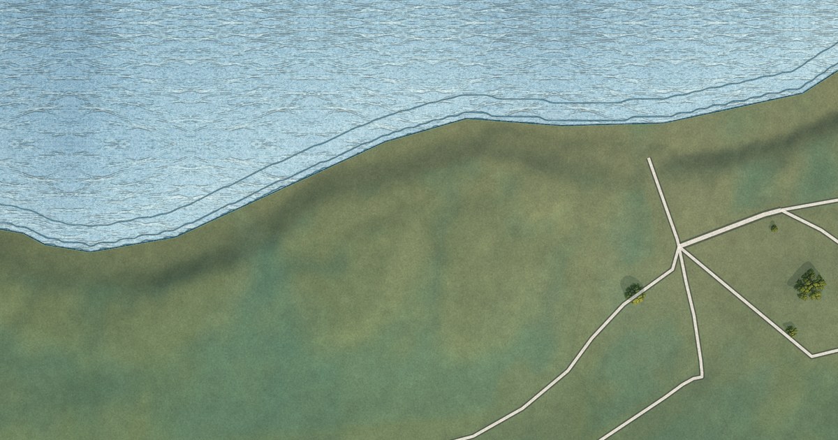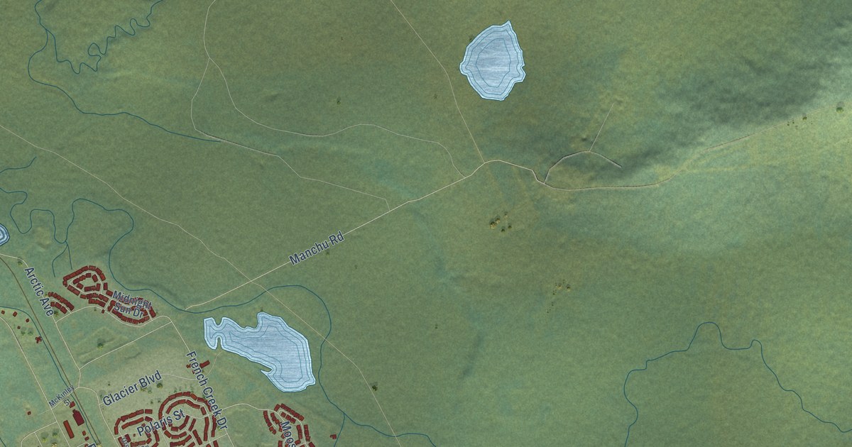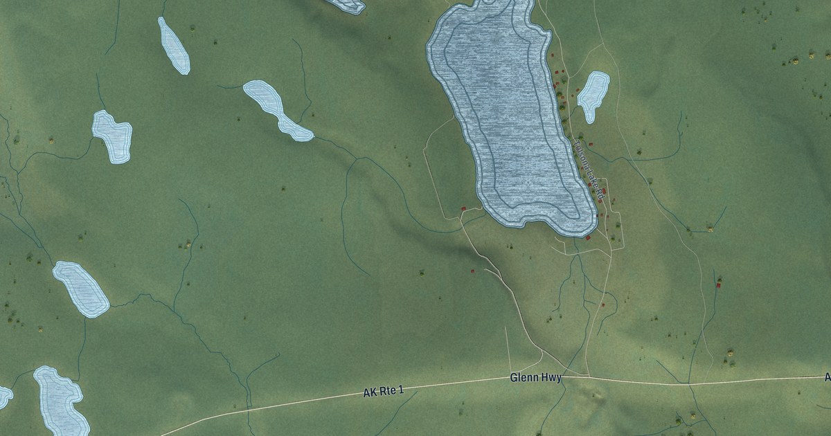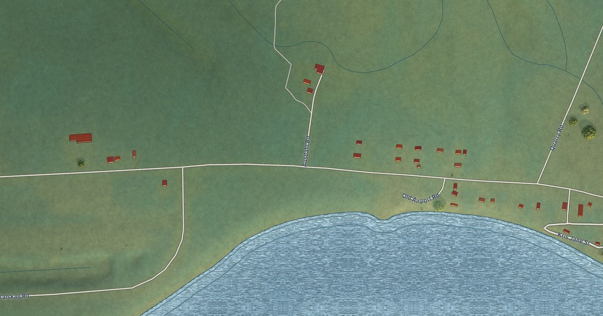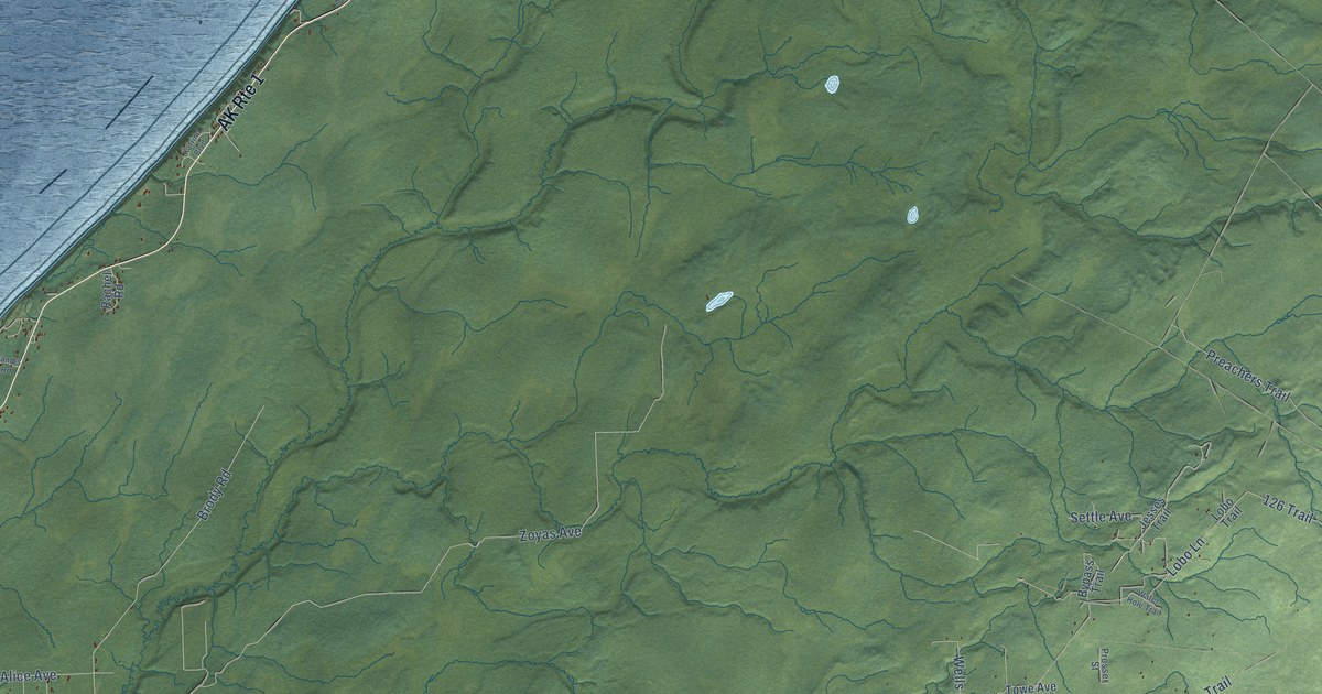
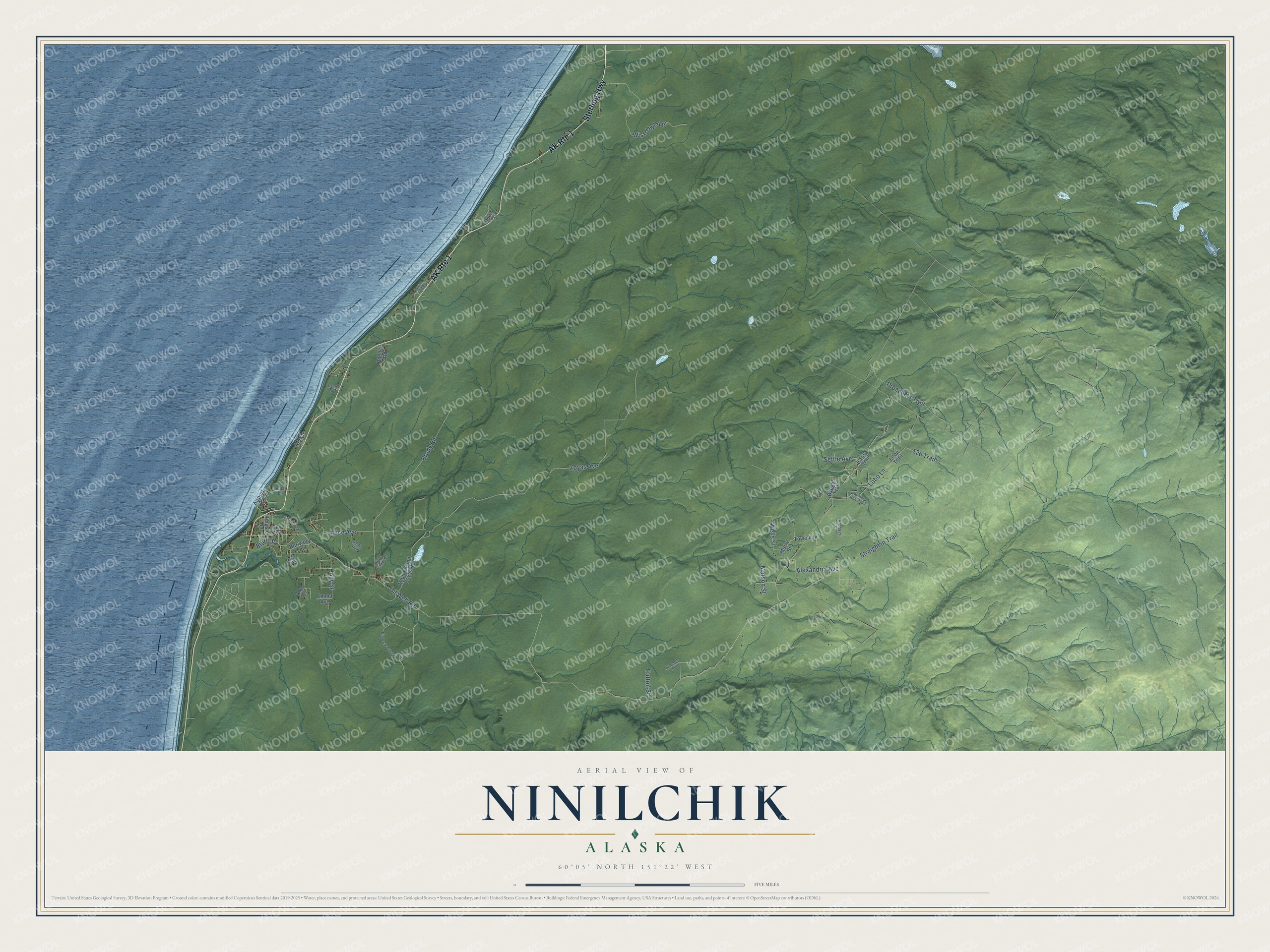
This beautifully detailed map of Ninilchik, Alaska was created in 2026 using aerial imagery combined with modern topographical, census, street and landmark data. It’s a one-of-a-kind view of Ninilchik that combines accurate data with a vintage aesthetic. The map shows every building in its true location, many of the roads carry their names, and the shaded topographic relief shows the shape of the land.
Explore an aerial view of Ninilchik, Alaska
On the map you’ll find Sterling Highway, Oil Well Road, Zoyas Avenue, Brody Road, Preachers Trail, Straight in Trail, Wise Owl Avenue, Lobo Lane, Alice Avenue, Alexandria Avenue, Wells Street, Holly Street, and more. Ninilchik sits about 10 miles south of Clam Gulch, 12 miles north of Happy Valley and 15 miles south of Cohoe. If you look closely you can even find your house accurately drawn in its correct location. Zoom in on the preview to look for yours.
Did You Know?
Ninilchik’s Dena’ina name, Niqnilchint, means lodge by the river. In the 1820s, the Russian American Fur Company had many old and sick workers who could not safely return to Russia. It won permission to found retirement settlements in Alaska. Colonists and Native people, joined by local Dena’ina, built a farming village at the mouth of the Ninilchik River. That’s from the Alaska DCRA.
Take a closer look at the Ninilchik map
Names on this map
These names are printed on this map.
Streets and roads: AK Route 1, Sterling Highway, Oil Well Road, Zoyas Avenue, Brody Road, Preachers Trail, Straight in Trail, Wise Owl Avenue, Lobo Lane, Alice Avenue, Alexandria Avenue, Wells Street.
More street names, A to Z
126 Trail, Airport Lane, Bev Avenue, Bluff Drive, Burlwood Lane, Bypass Trail, Corea Bend Road, Easy Street, Emma Avenue, Hatton Street, Holly Street, Hostetter Street, Jacks Run, Jesses Trail, Katrina Boulevard, Kingsley Road, Leman Lane, Lobo Trail, Matson Street, Michael and Zoyas Road, Murry Street, My Drive, Ninilckik Tribal Council Road, Prosser Street, Rachel Road, Randis Road, River View Drive, Settle Avenue, Todd Road, Tovarish Road, Towe Avenue, Water Hole Trail.
See it on a wall
The Ninilchik map as a framed print. Swipe for more.


This beautifully detailed map of Ninilchik makes an attractive addition to your office, library, or den, and it can even be used to teach children the geography and history of the area. It also makes a great gift for anyone who grew up in Ninilchik or moved away. When you’re done exploring, click here to get your copy of the Ninilchik map.