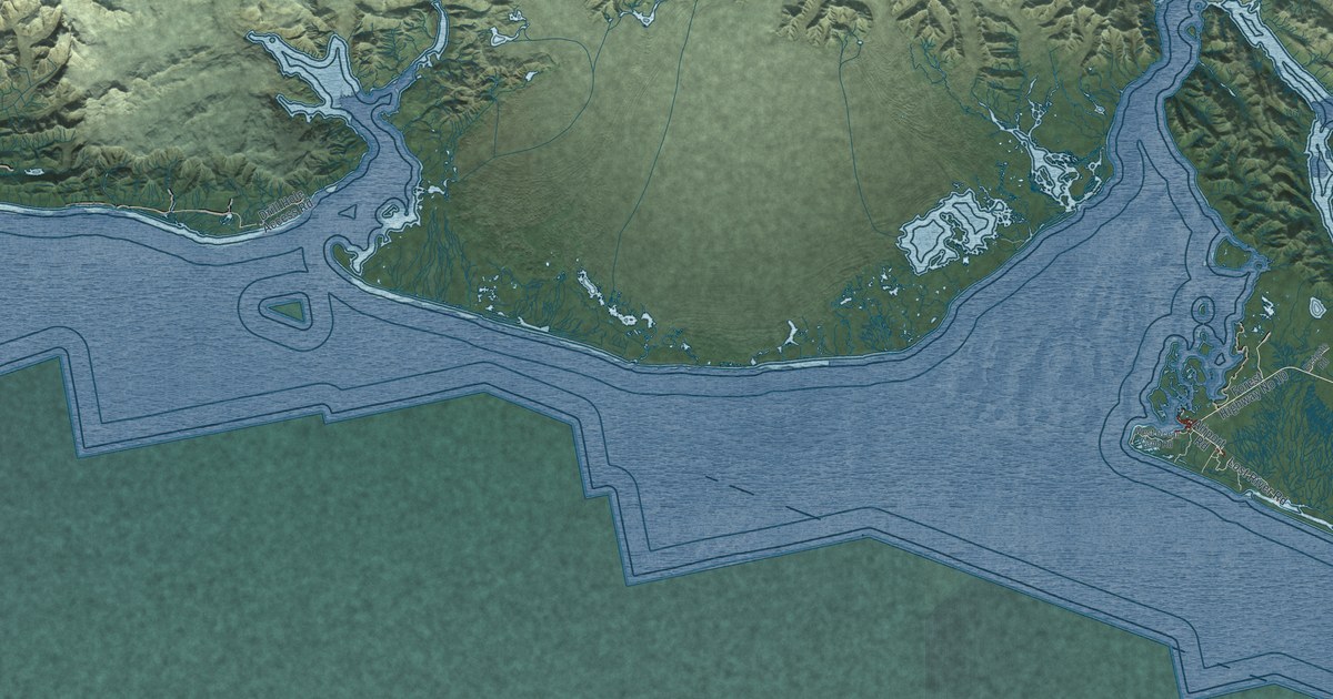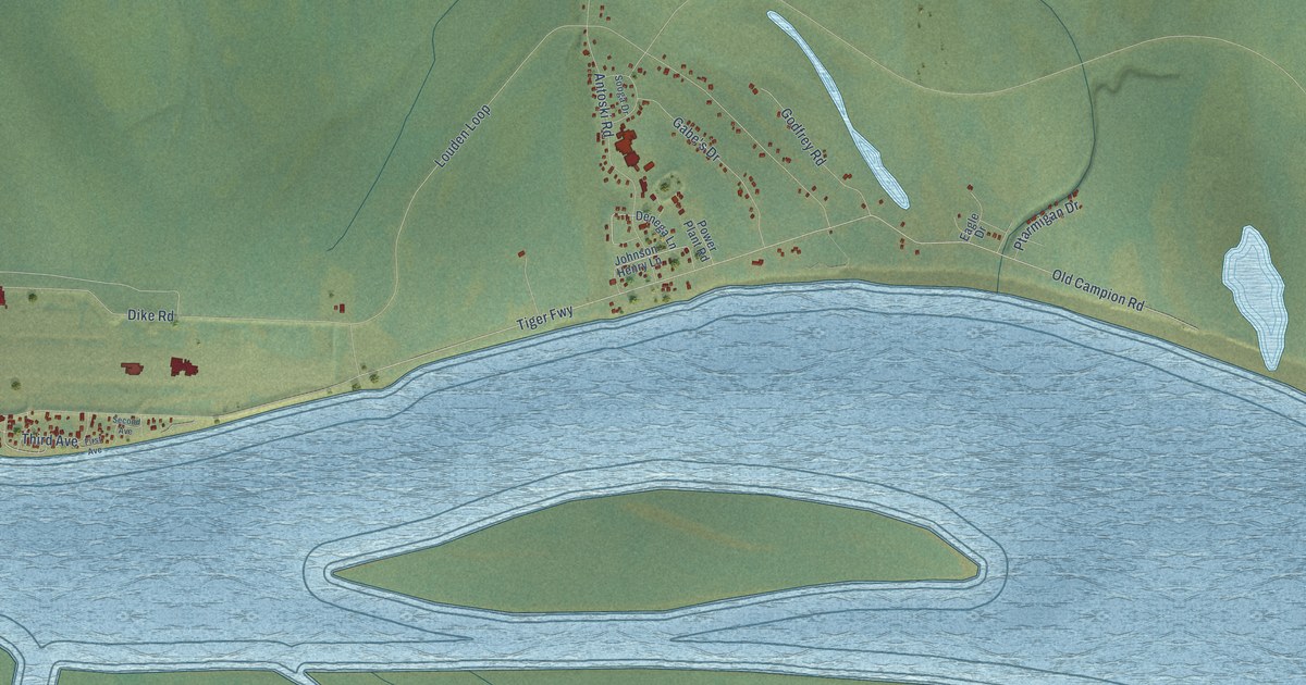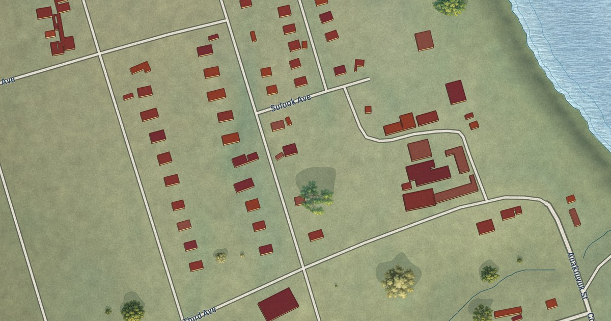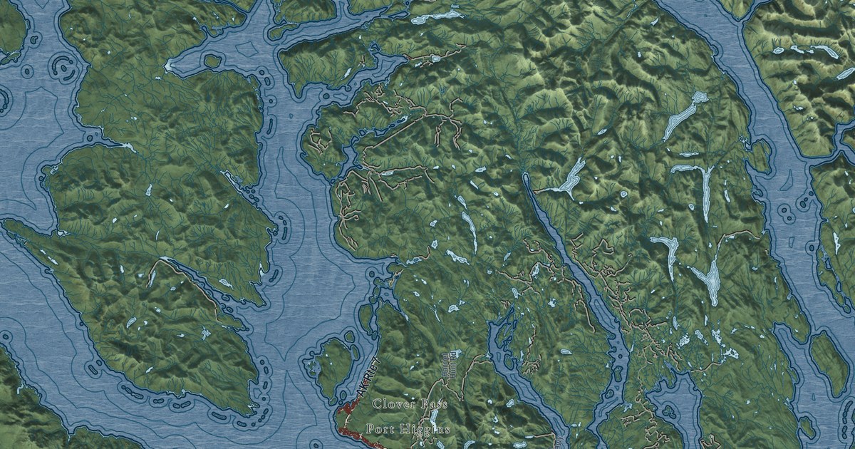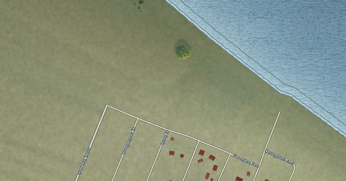
This beautifully detailed map of Point Hope, Alaska was created in 2026 using aerial imagery combined with modern topographical, census, street and landmark data. It's a modern aerial view of Point Hope in North Slope Borough, Alaska, that combines modern data with a vintage aesthetic. The roads feature printed names, and if you look closely you can find your exact house accurately shown in its correct location.
Explore an aerial view of Point Hope, Alaska
On this map you'll find Kivannaq Avenue, Milvisaagiaq Drive, Ipiutaaq Steet, Qalgi Avenue, Ittivyaaq Avenue, Tikigaq Avenue, Tuttu Street, Ippiq Street, Sisuaq Street, Agvik Street, Kanuq Street, Nanuq Street, and more. Each red shape is a building, so zoom in on the preview and look for yours.
Every town has a first chapter, and Point Hope is no exception. The Alaska DCRA puts it this way: "By 1848, commercial whaling activities brought an influx of Westerners, many of whom employed Point Hope villagers. By the late 1880s, the whalers established shore-based whaling stations, such as Jabbertown."
Point Hope is a city in North Slope Borough. The Census Bureau counted 830 people here in 2020.
Take a closer look at the Point Hope map
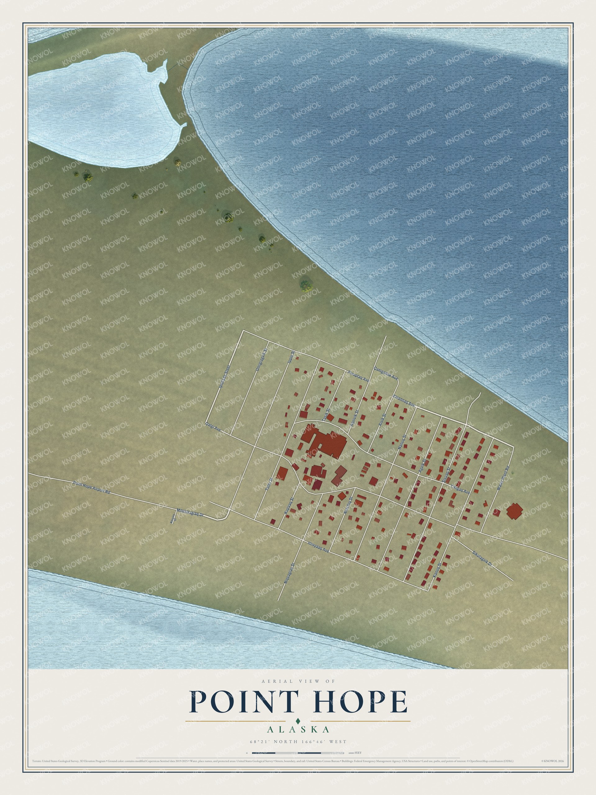
Names on this map
These names are printed on this map.
Streets and roads: Kivannaq Avenue, Milvisaagiaq Drive, Ipiutaaq Steet, Qalgi Avenue, Ittivyaaq Avenue, Tikigaq Avenue, Tuttu Street, Ippiq Street, Sisuaq Street, Agvik Street, Kanuq Street, Nanuq Street.
More street names, A to Z
Aivik Street, Aqvivik Street, Kupaaq Street, Natchiq Street, Nauyaq Street, Niqsagiaq Street, Pinuptaq Avenue, Point Hope Airport Road, Qanigalluk Avenue, Sikutagvik Drive, Tasik Street, Umigragvik Street, Water Plant Road.
Created by KNOWOL in 2026. The buildings are small red shapes, the roads carry their printed names, and shaded relief shows the shape of the land. The title panel reads "AERIAL VIEW OF POINT HOPE, ALASKA" with 68°21' NORTH 166°46' WEST.
Hang it in the hallway, the office or the cabin, or give it to someone who left Point Hope and still calls it home. Open the preview and look for a street you know. See sizes and frames for the Point Hope map.