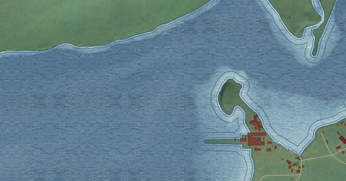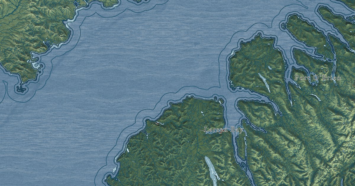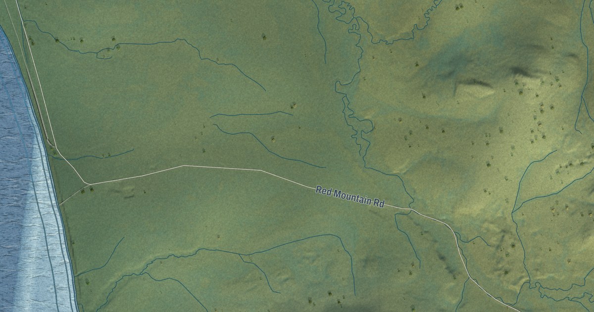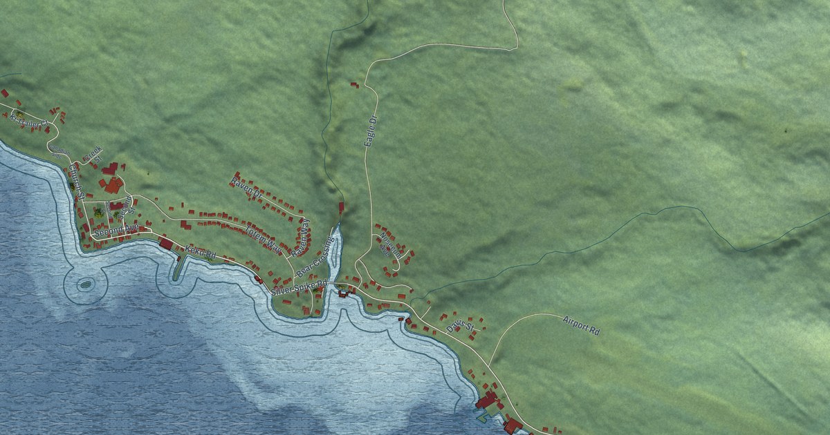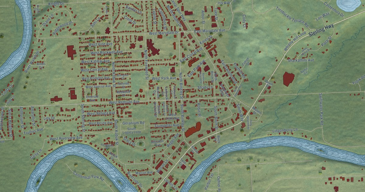
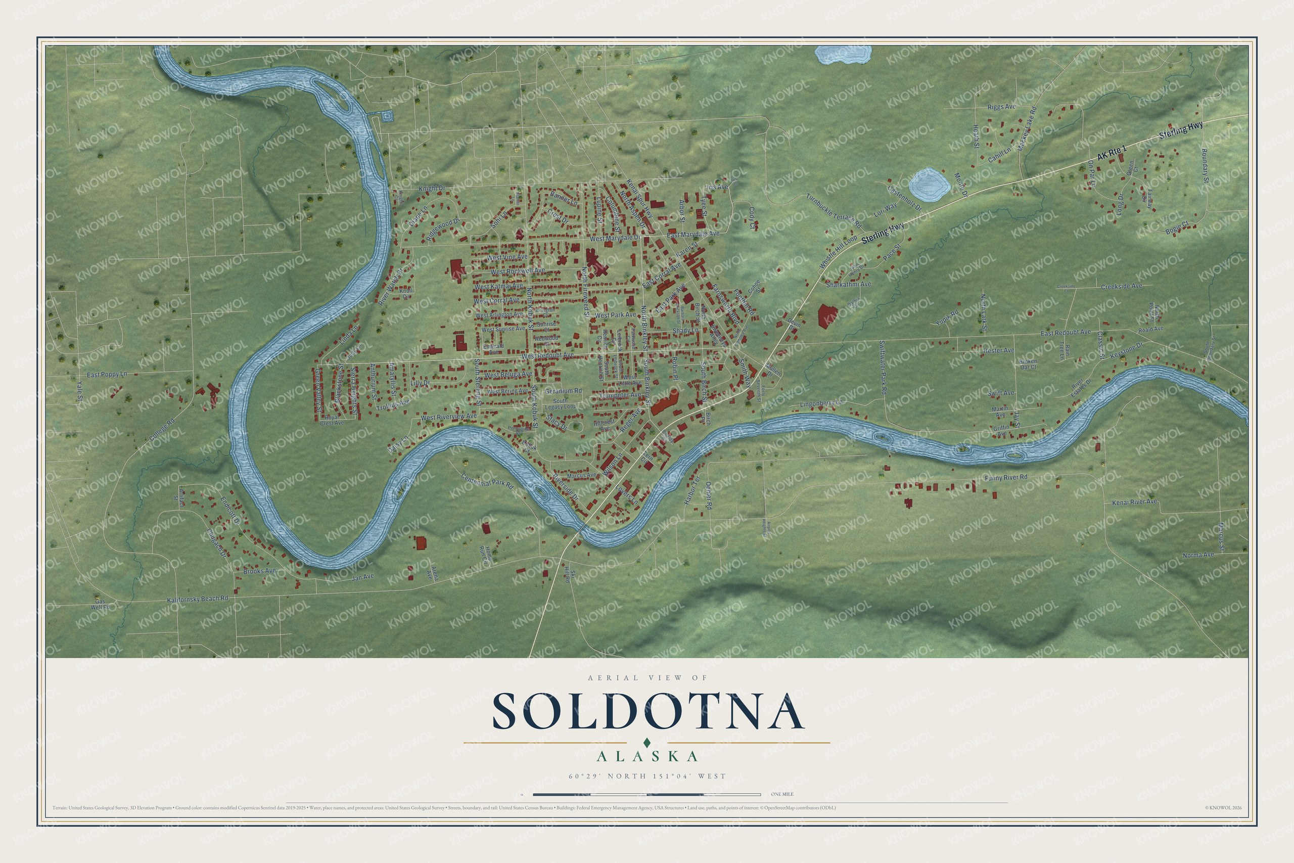
This beautifully detailed map of Soldotna, Alaska was created in 2026 using aerial imagery combined with modern topographical, census, street and landmark data. It's a modern aerial view of Soldotna in Kenai Peninsula Borough, Alaska, that combines modern data with a vintage aesthetic. The roads feature printed names, and if you look closely you can find your exact house accurately shown in its correct location.
Explore an aerial view of Soldotna, Alaska
On this map you'll find Sterling Highway, West Redoubt Avenue, North Binkley Street, East Marydale Avenue, Foothill Road, Iris Avenue, East Redoubt Avenue, Tyee Street, Sierra Heights Street, South Binkley Street, Classic Street, West Riverview Avenue, and more. Each red shape is a building, so zoom in on the preview and look for yours.
Here is a piece of Soldotna history, in the words of the record. The National Register of Historic Places puts it this way: "Soldotna's first post office is a 16 x 18 foot, two-story log building
located at the corner of the Kenai Spur Highway and East Corral Street in
the heart of the city that has grown around it."
Soldotna is a city in Kenai Peninsula Borough. The Census Bureau counted 4,342 people here in 2020.
Take a closer look at the Soldotna map
Names on this map
These names are printed on this map.
Streets and roads: AK Route 1, Sterling Highway, West Redoubt Avenue, North Binkley Street, East Marydale Avenue, Foothill Road, Iris Avenue, East Redoubt Avenue, Tyee Street, Sierra Heights Street, South Binkley Street, Classic Street.
More street names, A to Z
Airport Heights Street, Amaryllis Street, Anthurium Street, Arbor Street, Arena Avenue, Arlington Court, Artifact Street, Banner Lane, Barbara Erickson Street, Binkley Circle, Birch Place, Blackstone Street, Bogie Court, Boundary Street, Broken Oar Court, Brooks Avenue, Cahill Lane, Castenholz Drive, Centennial Park Road, Chugach Drive, Cody Court, Cohoe Street, College Road, Columbine Street, Creekside Avenue, Creekside Court, Crest Drive, Daisy Lane, Dalhia Circle, Devin Drive, Diane Lane, East Corral Avenue, East Park Avenue, East Poppy Lane, Emerald Avenue, Endicott Drive, Fairway Circle, Farnsworth Boulevard, Forty Seventh Street, Funny River Road, Gas Well Road, Geranium Road, Green Court, Green Valley Street, Griffin Avenue, Harbor Terrace, Heath Street, Henrich Circle, Hester Avenue, Hillcrest Avenue, Home Run Circle, Iris Court, Jan Avenue, Jay Street, John Henry Drive, Judy Lane, Kalifornsky Beach Road, Karen Street, Kenai River Avenue, Kenai Spur Highway, Keystone Drive, Knight Court, Knight Drive, Knoll Circle, Kobuk Court, Leibrock Circle, Lilly Drive, Linda Lane, Lingonberry Lane, Long Drive, Lori Way, Lovers Lane, Lupine Street, Mackey Lake Road, Marcus Avenue, Marcus Street, Martin Avenue, Monte Drive, Mullen Drive, Norma Avenue, North Aspen Drive, North Birch Street, North Fireweed Street, North Kobuk Street, North Lark Street, North Point Street, North Soldotna Avenue, Oehler Road, On Par Lane, Pace Street, Parkwood Circle, Porcupine Court, Rain Tree Lane, Redwood Court, Reger Avenue, Ridgewood Drive, Riggs Avenue, River Estates Drive, Riverside Drive, River Watch Drive, Roald Avenue, Robin Place, Royal Crest Avenue, Shady Lane, Sharkathmi Avenue, Ski Hill Road, Smith Way, Sohi Lane, South Birch Street, South Boundary Street, South Henrich Street, South Kobuk Street, South Legacy Loop, South Leibrock Street, South Sterling Street, Stacy Drive, Starlite Lane, Sunrise Court, Sweeneys Alley, Swift Avenue, Swiftwater Park Road, Tern Circle, Trollius Avenue, Trumpeter Avenue, Turnbuckle Terrace Road, West Arlington Avenue, West Beluga Avenue, West Bering Avenue, West Corral Avenue, West Katmai Avenue, West Little Avenue, West Marydale Drive, West Park Avenue, West Riverview Avenue, West Rockwell Avenue, West Sunrise Avenue, West Vine Avenue, Whistle Hill Loop, Wilson Lane, Yale Street, Yupik Road.
Created by KNOWOL in 2026. The buildings are small red shapes, the roads carry their printed names, and shaded relief shows the shape of the land. The title panel reads "AERIAL VIEW OF SOLDOTNA, ALASKA" with 60°29' NORTH 151°04' WEST.
It suits a den, a classroom or a front hall, and it makes a gift for anyone with Soldotna roots. Open the preview and find the block you know. See sizes and frames for the Soldotna map.