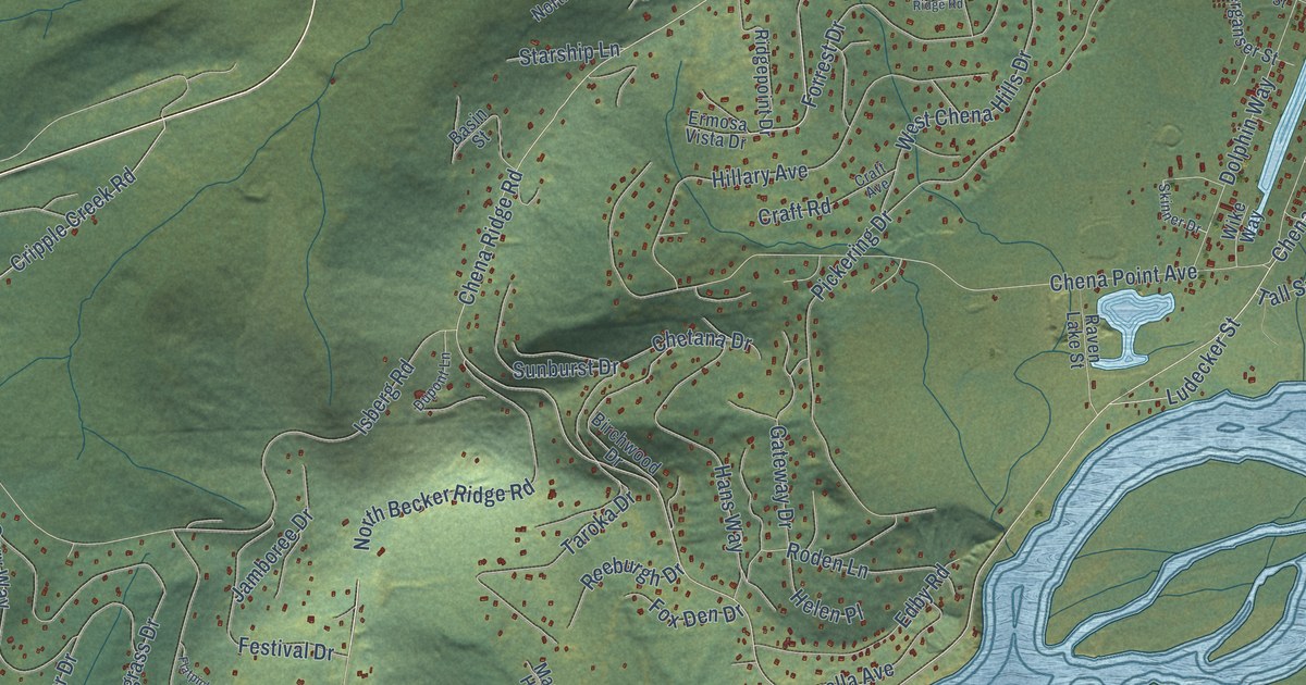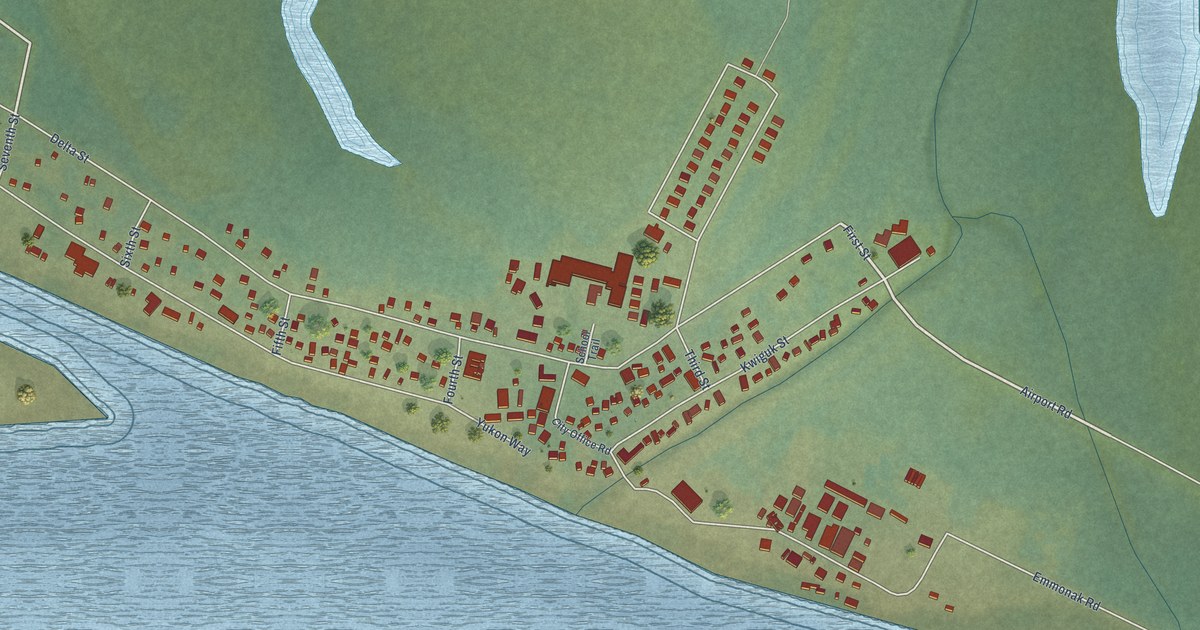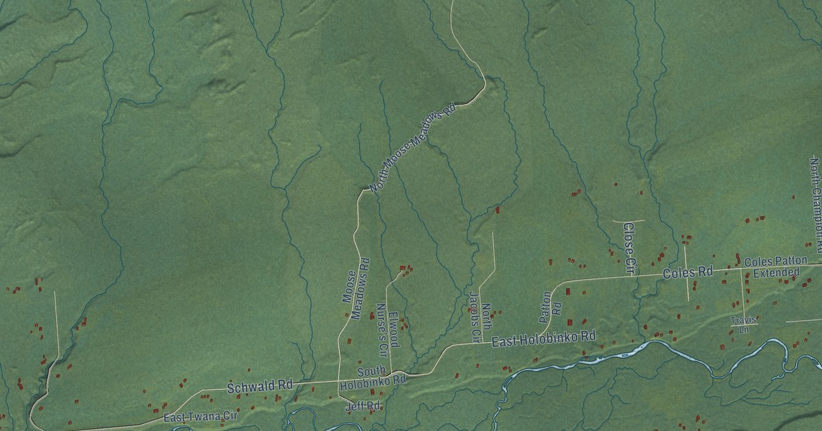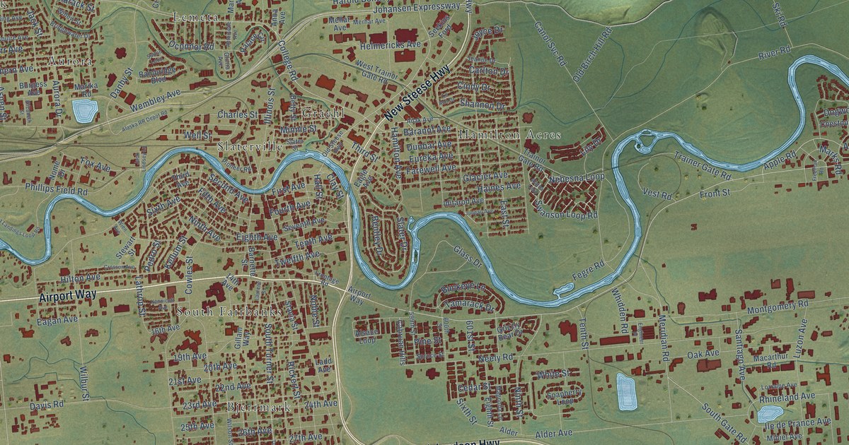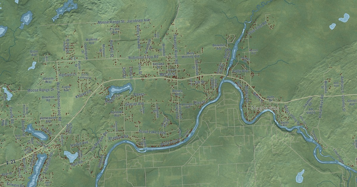
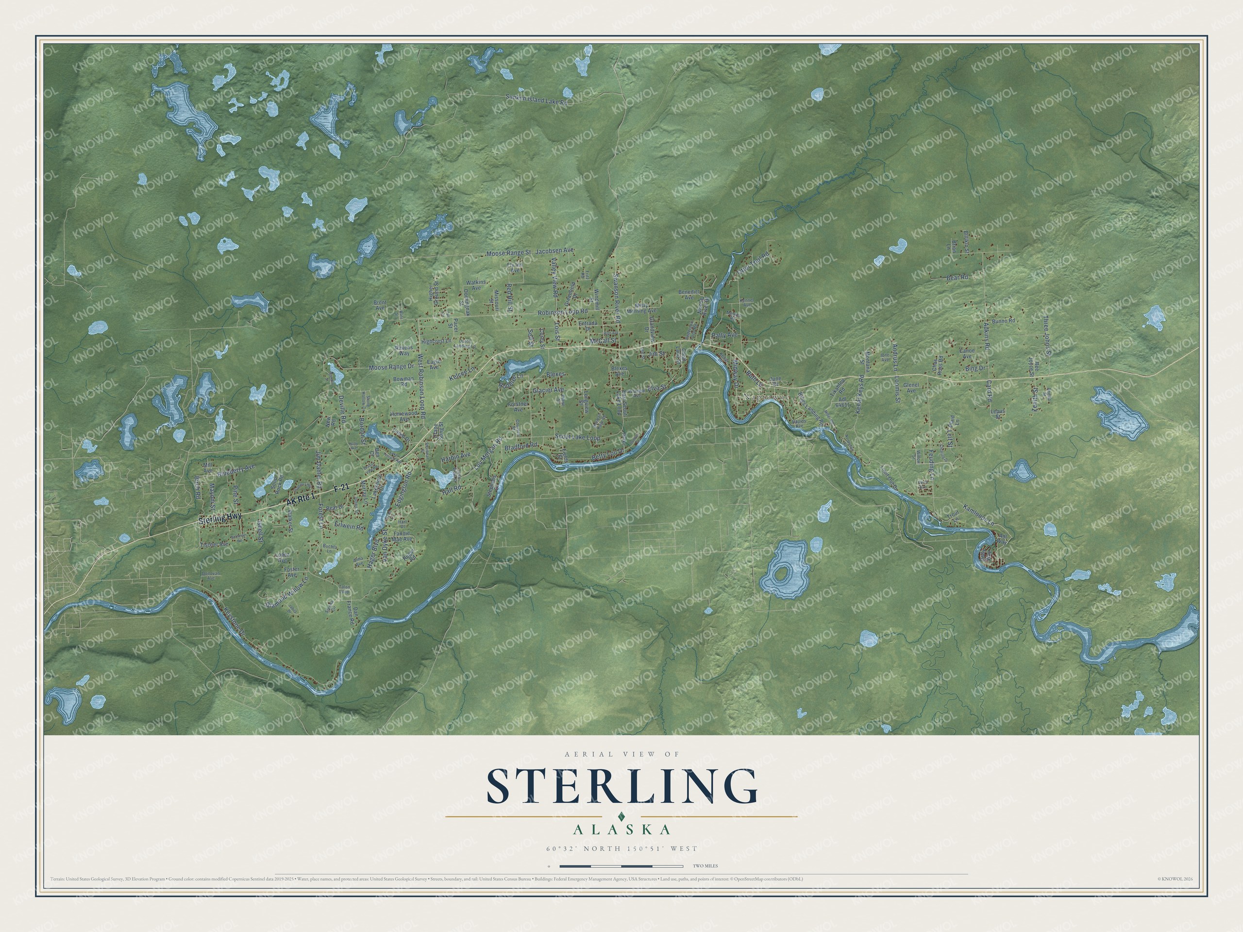
This beautifully detailed map of Sterling, Alaska was created in 2026 using aerial imagery combined with modern topographical, census, street and landmark data. It's a modern aerial view of Sterling in Kenai Peninsula Borough, Alaska, that combines modern data with a vintage aesthetic. The roads feature printed names, and if you look closely you can find your exact house accurately shown in its correct location.
Explore an aerial view of Sterling, Alaska
On this map you'll find Naptowne, Sterling Highway, F-21, Hager Boulevard, West Robinson Loop Road, Glacier Avenue, Leif Street, Robinson Loop Road, Forest Lane, Feuding Lane, Lou Morgan Road, Moose Range Drive, and more. Each red shape is a building, so zoom in on the preview and look for yours.
Here is a piece of Sterling history, in the words of the record. The Alaska DCRA puts it this way: "The Kenai Peninsula has been the home of the Kenaitze tribe for hundreds of years. Sterling is a community whose name was formalized in 1954 when a post office was established."
Sterling is a community in Kenai Peninsula Borough. The Census Bureau counted 5,918 people here in 2020.
Take a closer look at the Sterling map
Names on this map
These names are printed on this map.
Places: Naptowne.
Streets and roads: AK Route 1, Sterling Highway, F-21, Hager Boulevard, West Robinson Loop Road, Glacier Avenue, Leif Street, Robinson Loop Road, Forest Lane, Feuding Lane, Lou Morgan Road, Moose Range Drive.
More street names, A to Z
Adkins Road, Adl 64611, Adl Way, Alma Avenue, Andrus Lane, Anetta Street, Bear Drive, Bear Road, Bee Joyce Street, Ben Court, Benedict Avenue, Betty Lou Drive, Billikin Street, Bing Drive, Bings Landing Road, Birch Avenue, Birch Road, Blexes, Blexes Avenue, Blueberry Avenue, Bordon Street, Bowman Road, Bradford Road, Brent Avenue, Brian Lane, Buchta Lane, Bunno Road, Caleb Drive, Canoe Avenue, Card Road, Chas Ross Road, Clearing Drive, Corey Street, Coursen Street, Crane Song Street, Dan France Road, Deville Road, Diamond Willow Lane, Diane Street, Dolly Way, Donovan Avenue, Duncan Drive, Dutch Landing Lp, Eagle Avenue, East Scout Lake Loop, Edgington Road, Elva Street, Entrada Drive, Erlwein Road, Fannie Mae Avenue, Fields Street, Fly Inn Avenue, Forstner Avenue, Foster Avenue, Fritz Road, Full Circle, Glenel Avenue, Grandview Drive, Grassy Vale Road, Great Land Street, Greenfield Drive, Hall Road, Harbin Avenue, Hart Court, High Avenue, Highcrest Lane, Higher Ground Street, Holly Avenue, Homewood Avenue, Huske, Iliamna Loop, Ione Avenue, Isbell Street, Jabila Drive, Jacobsen Avenue, Jim Dahler Road, Jim Street, Jones Street, June Drive, Kamloops Lane, Kelcee Lane, Kenai Drive, Kenai Keys Road, Kennel Avenue, Keystone Drive, Lakeshore Drive, Lake Terrace Road, Lake View Street, Lee Street, Lepus Street, Limit Out Drive, Lois Street, Longview Street, Loomis Street, Lopez Avenue, Mayoni Street, McCall Street, Merkes Road, Midway Drive, Mill Avenue, Miller Road, Missouri Street, Misty Morning Avenue, Montana Street, Moose Range Street, Moose River Drive, Mountain Ridge Road, Murray Lane, New Road, Nonpublic Road, Oomingnak Street, Otter Trail Road, Pacer Street, Patty Avenue, Pederson Loop Road, Pine Street, Plaid Lane, Rapids Avenue, Ravens Way, Red Hill Street, Reger Road, Rodelee Lane, Ruth Lane, Ryan Lane, Sandlin Street, Scout Lake Loop, Self Street, Sienna Circle, Solid Rock Road, Steadman Street, Stephens Drive, Stone Hollow Drive, Sunken Island Lake Road, Sutherlin Road, Swanson River Road, Talon Loop, Three Johns Street, Tikahtnu Road, Tischer Avenue, Trout Lane, Valley View Road, Van Dyke Street, Wahl Street, Walker Street, Watkins Avenue, Willow Street, Windmill Street, Wrangle Avenue, Zenith Street.
Created by KNOWOL in 2026. The buildings are small red shapes, the roads carry their printed names, and shaded relief shows the shape of the land. The title panel reads "AERIAL VIEW OF STERLING, ALASKA" with 60°32' NORTH 150°51' WEST.
It suits a den, a classroom or a front hall, and it makes a gift for anyone with Sterling roots. Open the preview and find the block you know. See sizes and frames for the Sterling map.