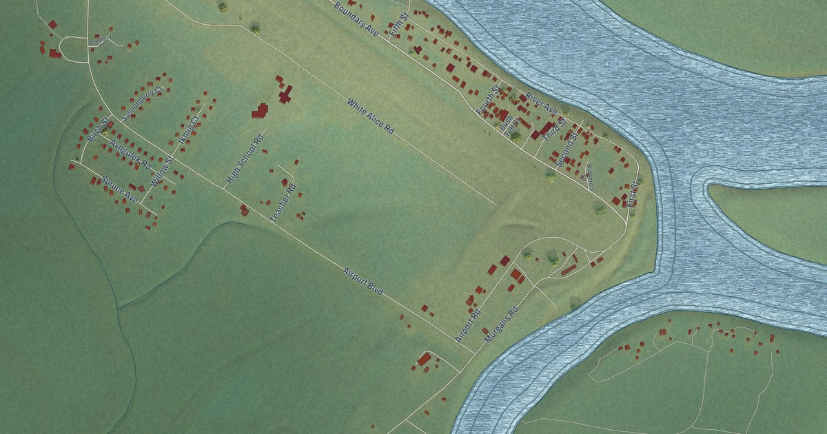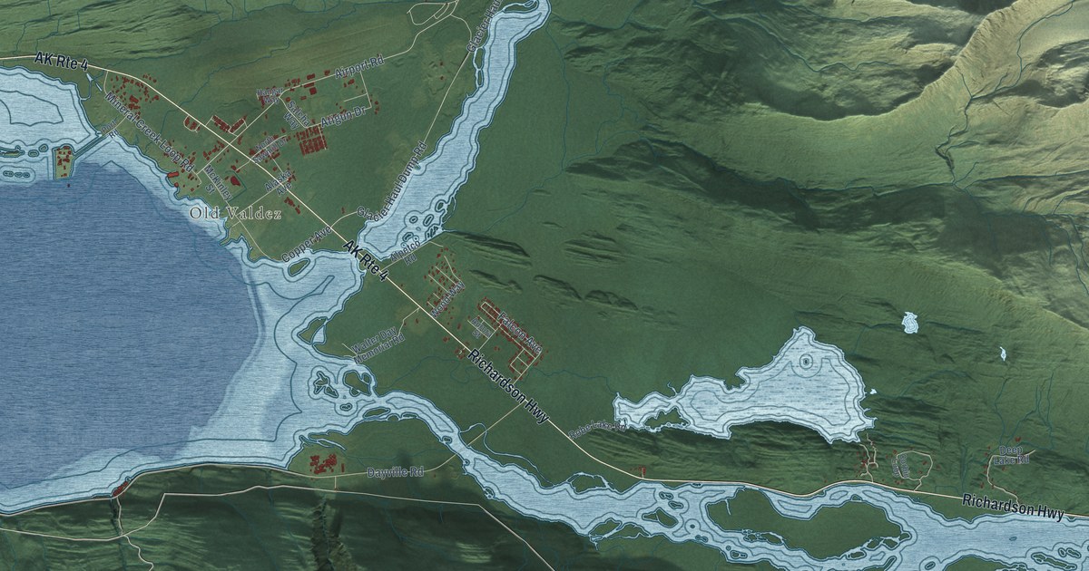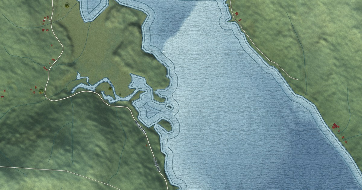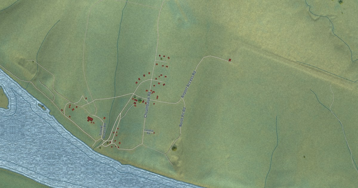
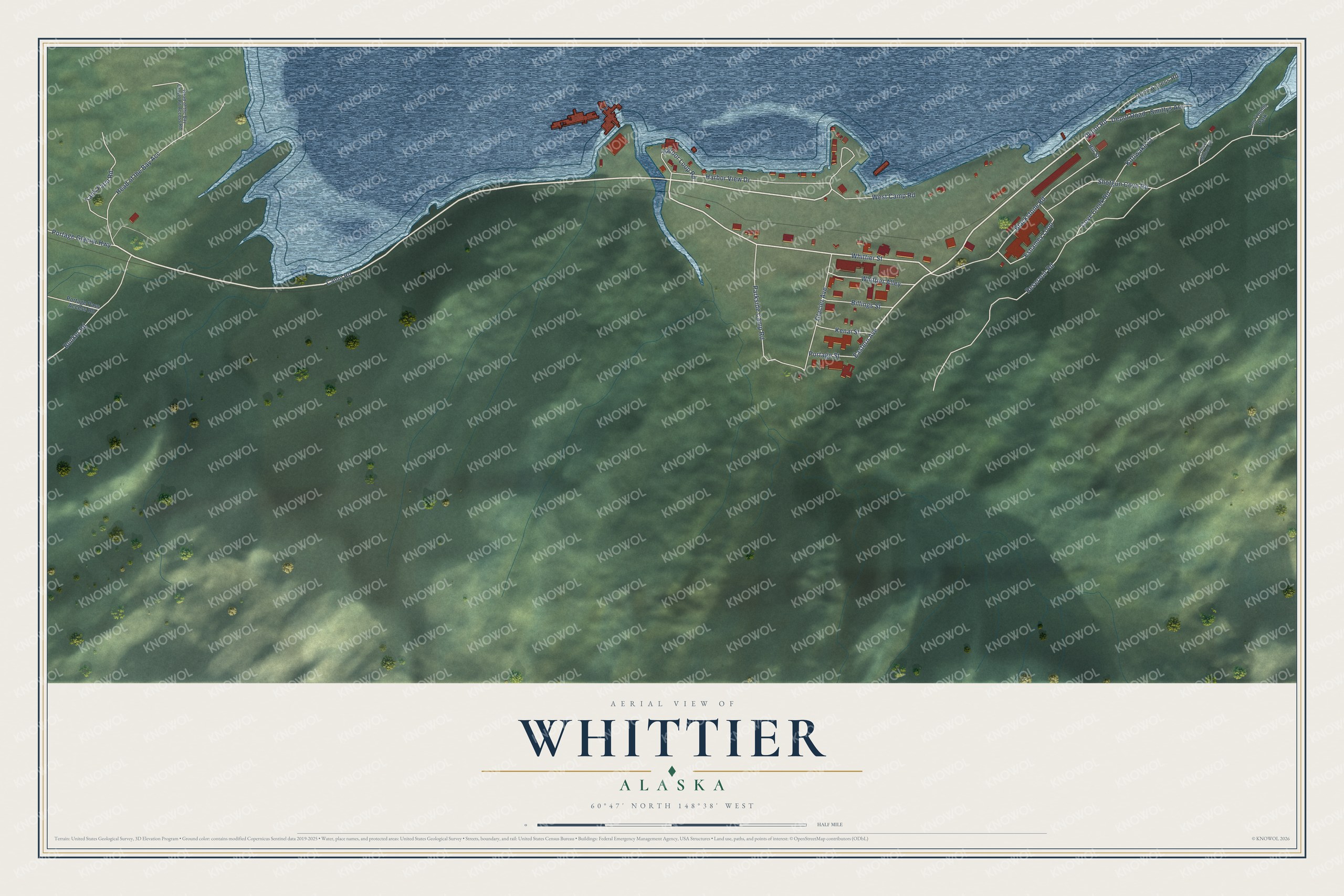
This beautifully detailed map of Whittier, Alaska was created in 2026 using aerial imagery combined with modern topographical, census, street and landmark data. It's a modern aerial view of Whittier in Chugach Census Area, Alaska, that combines modern data with a vintage aesthetic. The roads feature printed names, and if you look closely you can find your exact house accurately shown in its correct location.
Explore an aerial view of Whittier, Alaska
On this map you'll find Depot Road, Camp Road, Whittier Street, Eastern Avenue, Shotgun Cove Road, Reservoir Road, Blackstone Road, Head of the Bay Acc, Cove Creek Road, Harbor View Drive, Parkside Camp Road, Bunker Road, and more. Each red shape is a building, so zoom in on the preview and look for yours.
Here is a piece of Whittier history, in the words of the record. The Alaska DCRA puts it this way: "Nearby Whittier Glacier was named for the American poet John Greenleaf Whittier; the name was first published in 1915 by the United States Coast and Geodetic Survey. A port and a railroad terminus were constructed by the United States Army for transporting fuel and other supplies into Alaska during World War II."
Whittier is a city in Chugach Census Area. The Census Bureau counted 272 people here in 2020.
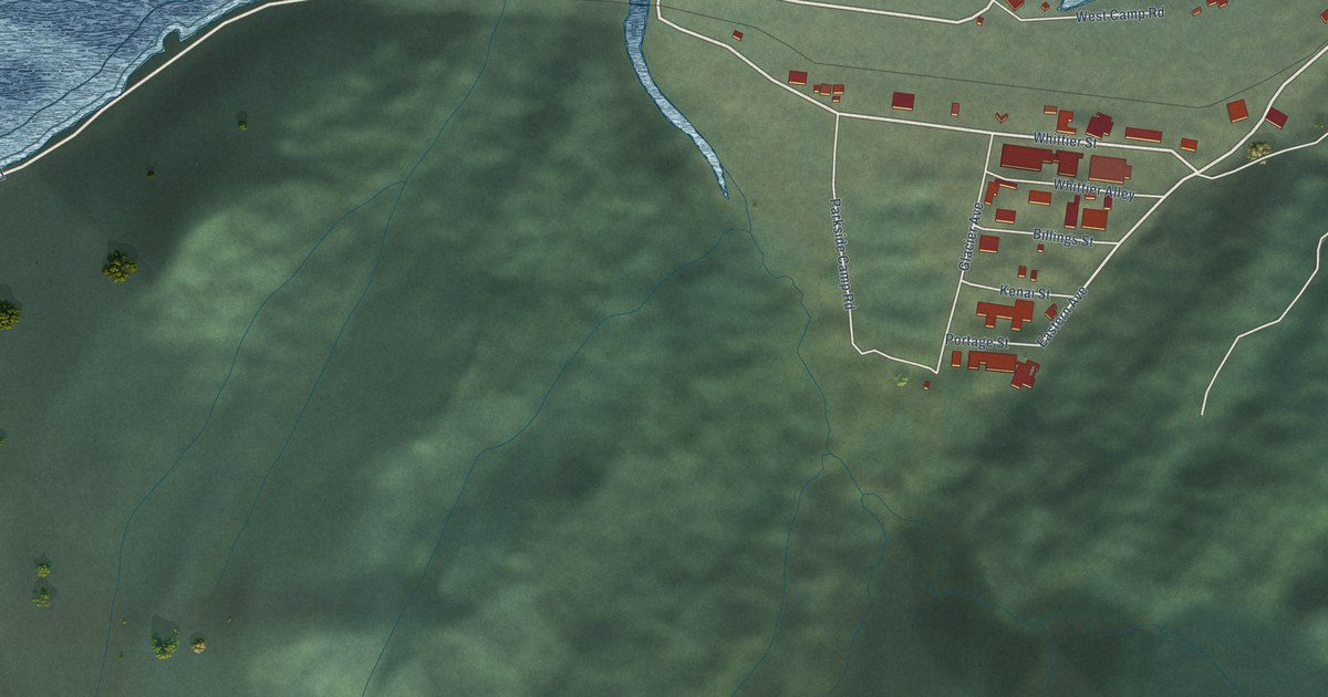
Take a closer look at the Whittier map
Names on this map
These names are printed on this map.
Places: Lou Young Park.
Streets and roads: Depot Road, Camp Road, Whittier Street, Eastern Avenue, Shotgun Cove Road, Reservoir Road, Blackstone Road, Head of the Bay Acc, Cove Creek Road, Harbor View Drive, Parkside Camp Road, Bunker Road.
More street names, A to Z
Billings Street, Depot Road - Smittys Acc, Dock Access Road, Eshamey Loop, Glacier Avenue, Harbor Loop Road, Head of the Bay Gravel Pit Access Road, Hill Street, Kenai Street, Kittiwake Court, Portage Glacier Highway, Portage Pass Access Road, Portage Street, Prince William Court, Tank Farm Road, West Camp Road, Whittier Alley.
Created by KNOWOL in 2026. The buildings are small red shapes, the roads carry their printed names, and shaded relief shows the shape of the land. The title panel reads "AERIAL VIEW OF WHITTIER, ALASKA" with 60°47' NORTH 148°38' WEST.
It suits a den, a classroom or a front hall, and it makes a gift for anyone with Whittier roots. Open the preview and find the block you know. See sizes and frames for the Whittier map.