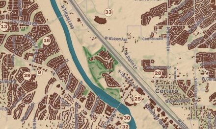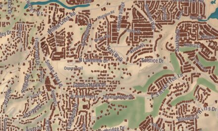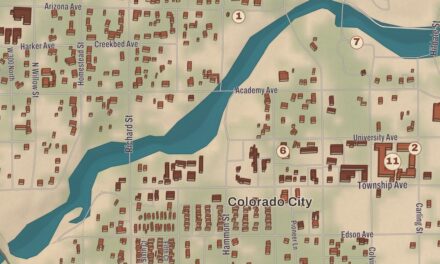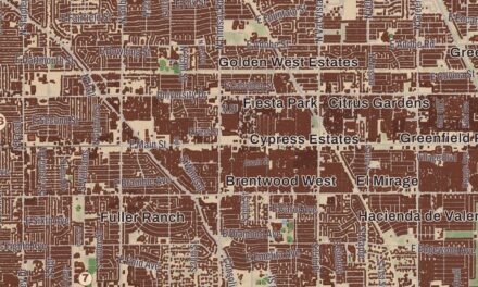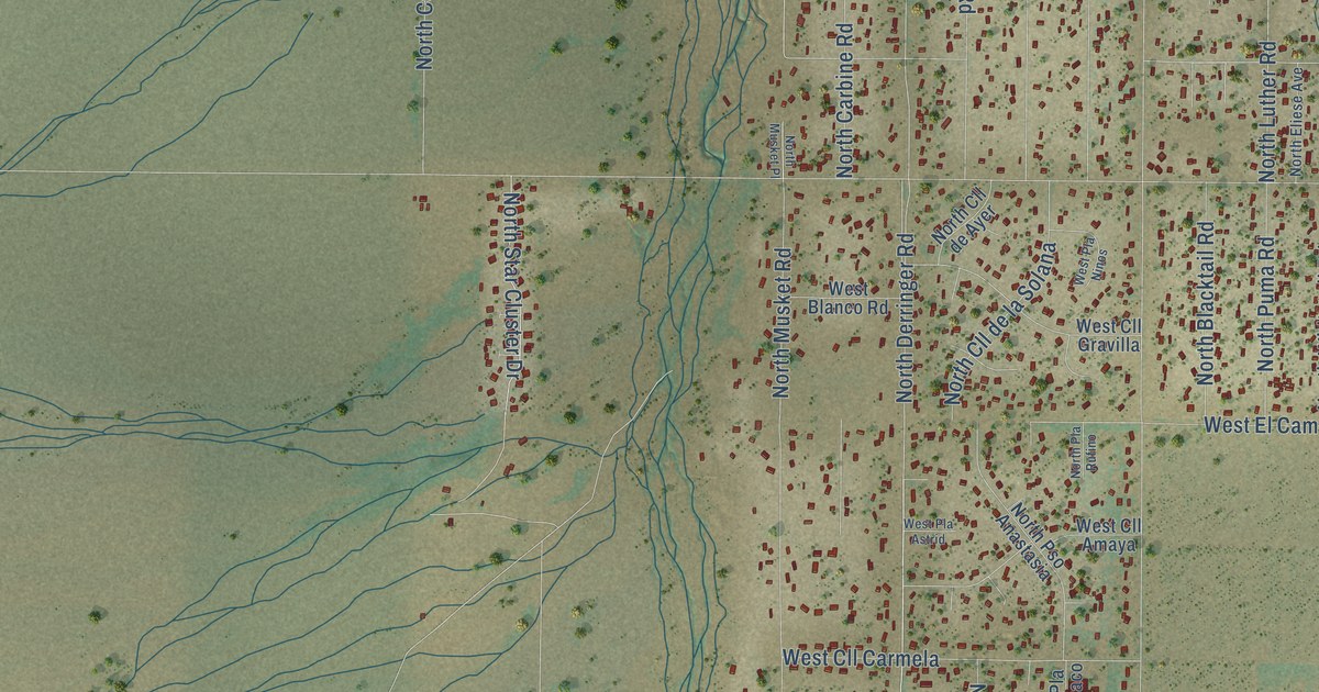
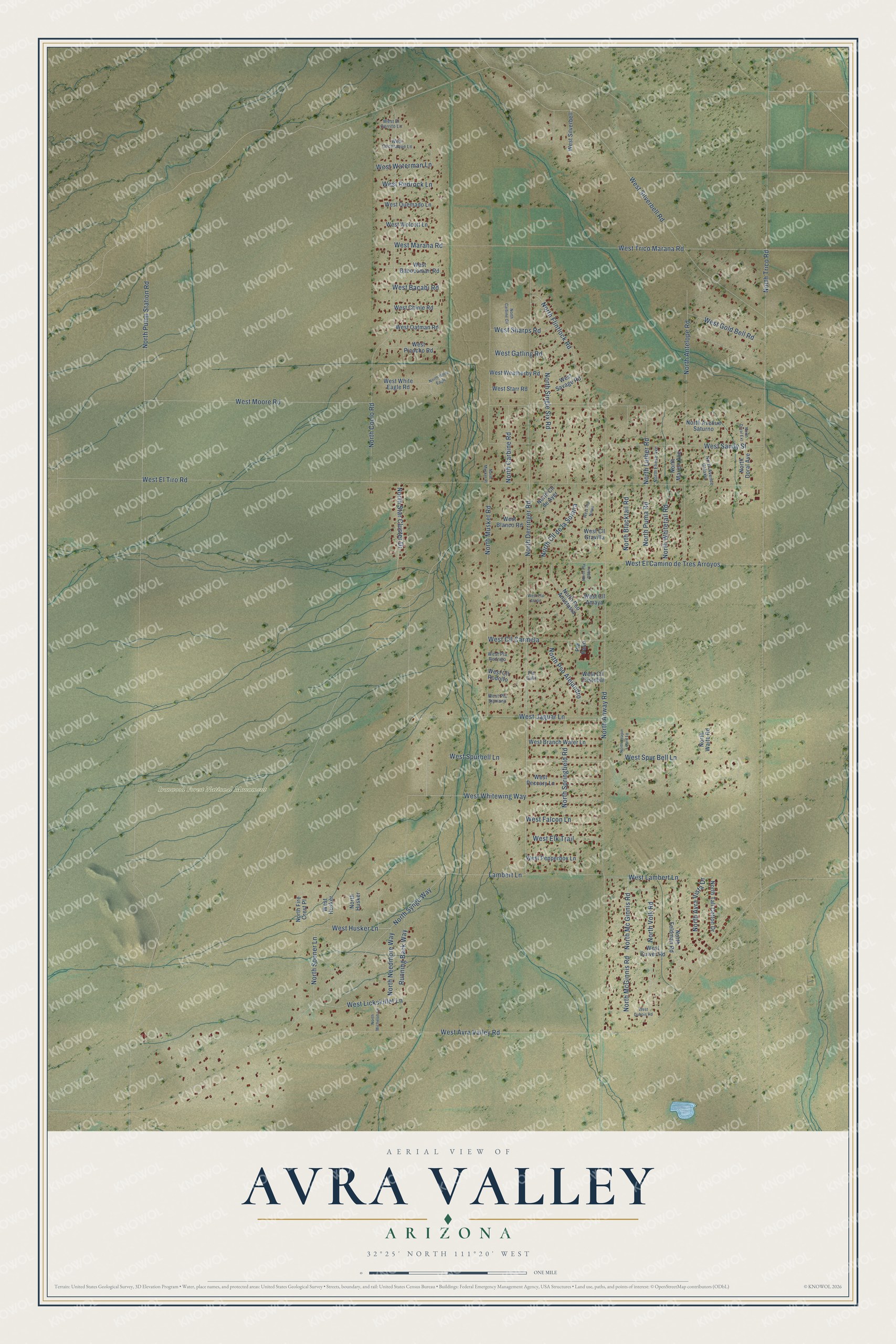
This beautifully detailed map of Avra Valley, Arizona was created in 2026 using aerial imagery combined with modern topographical, census, street and landmark data. It’s a one-of-a-kind view of Avra Valley that combines accurate data with a vintage aesthetic. The map shows every building in its true location, many of the roads carry their names, and the shaded topographic relief shows the shape of the land.
Explore an aerial view of Avra Valley, Arizona
On the map you’ll find Ironwood Forest National Monument, along with North Derringer Road, West Whitewing Way, North Volk Road, Lambert Lane, West Husker Lane, West Sandy Street, West Bacabi Road, North Musket Road, North Luther Road, North Pump Station Road, West Silverbell Road, and more. Avra Valley sits about 4 miles west of Nelson, 8 miles northwest of Picture Rocks and 10 miles south of Red Rock. If you look closely you can even find your house accurately drawn in its correct location. Zoom in on the preview to look for yours.
Take a closer look at the Avra Valley map
Names on this map
These names are printed on this map.
Places: Ironwood Forest National Monument.
Streets and roads: North Derringer Road, West Whitewing Way, North Volk Road, Lambert Lane, West Husker Lane, West Sandy Street, West Bacabi Road, North Musket Road, North Luther Road, North Pump Station Road, West Silverbell Road, West Avra Valley Road.
More street names, A to Z
North Antelope Road, North Anway Road, North Avenue Galaxia, North Avenue Saturno, North Avra Vista Drive, North Blacktail Road, North Carbine Circle, North Carbine Road, North Cll de Ayer, North Cll de la Solana, North Cocio Road, North Doral Avenue, North Doral Extension, North Eliese Avenue, North Feldman Road, North Fire Crest Place, North Flintlock Road, North Husker, North Leapin Lizard Lane, North Marion Avenue, North Mc Ginnis Road, North McGinnis Road, North Michelob Lane, North Musket Place, North Needmore Way, North Pla Rufino, North Pso Alejandro, North Pso Anastasia, North Puma Road, North Single Six Road, North Sooner Lane, North Springfield Road, North Star Cluster Drive, North Synge Way, North Tall Cotton Drive, North Trico Road, North Waite Road, North White Eagle, North Whitetail Road, Pla Dato, Pla Paco, Running Back Way, West Babocomari Road, West Blanco Road, West Branch Water Lane, West Chinle Road, West Cll Amaya, West Cll Carmela, West Cll Cristobal, West Cll Gravilla, West Cll Rodolfo, West Cocoraque Lane, West Culver Road, West Dubois Road, West El Camino de Tres Arroyos, West El Cerrito Lane, West Elk Trail, West El Tiro Road, West Falcon Lane, West Gatling Road, West Gold Bell Road, West Husker, West Jaguar Lane, West Lambert Lane, West Lickskillet Lane, West Marana Road, West Moore Road, West Oatman Road, West Peccary Lane, West Pepperbox Lane, West Picacho Road, West Pla Astrid, West Pla Ninos, West Pla Rodrigo, West Pla Sipriano, West Quemado Lane, West Redrock Lane, West Savage Road, West Sharps Road, West Silverbell, West Spur Bell Lane, West Spurbell Lane, West Starr Road, West Trico Marana Road, West Waterman Lane, West Weatherby Road, West White Eagle Road, West Wolcott Lane.
See it on a wall
The Avra Valley map as a framed print. Swipe for more.


This beautifully detailed map of Avra Valley makes an attractive addition to your office, library, or den, and it can even be used to teach children the geography and history of the area. It also makes a great gift for anyone with Avra Valley roots. When you’re done exploring, click here to get your copy of the Avra Valley map.