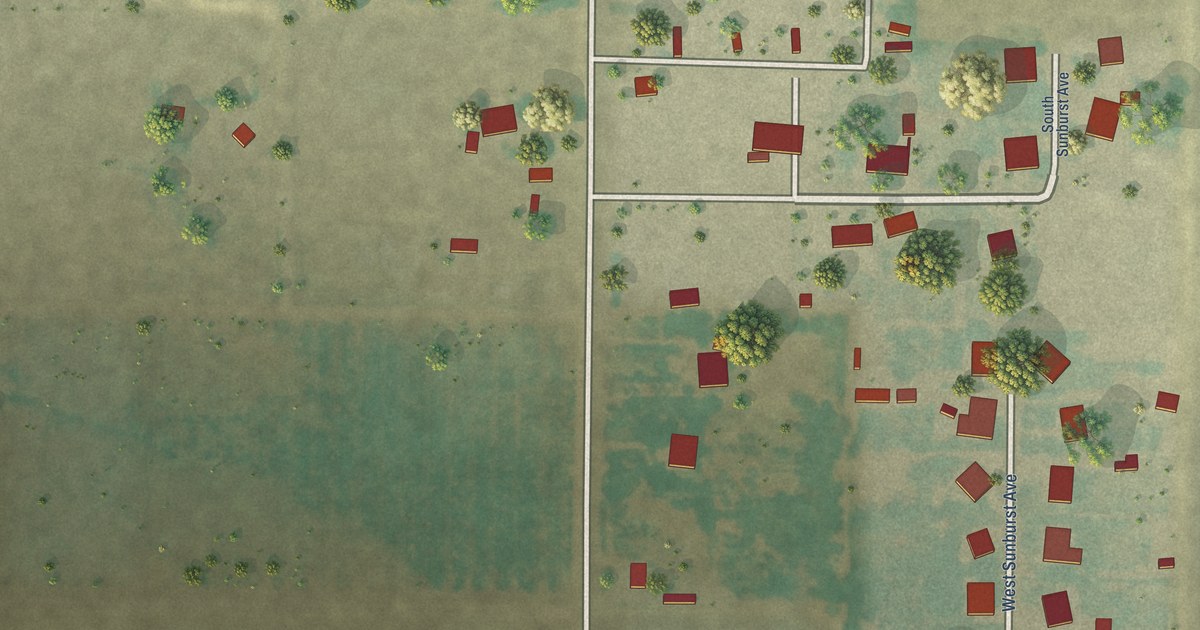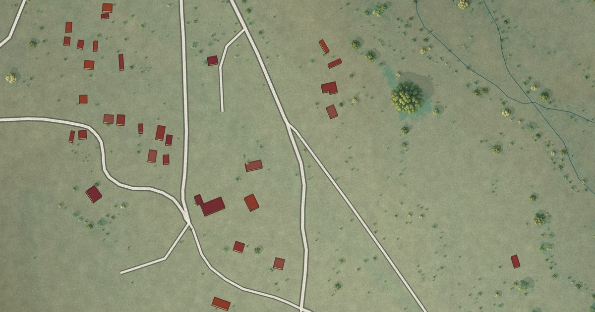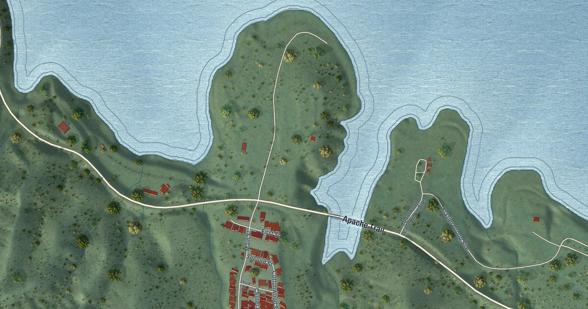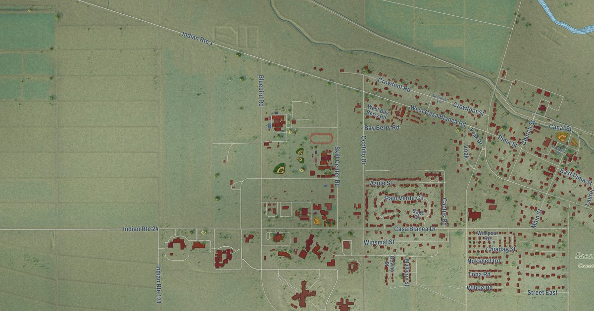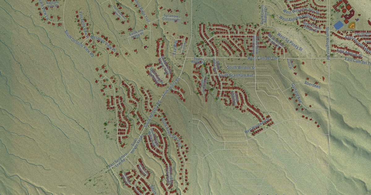
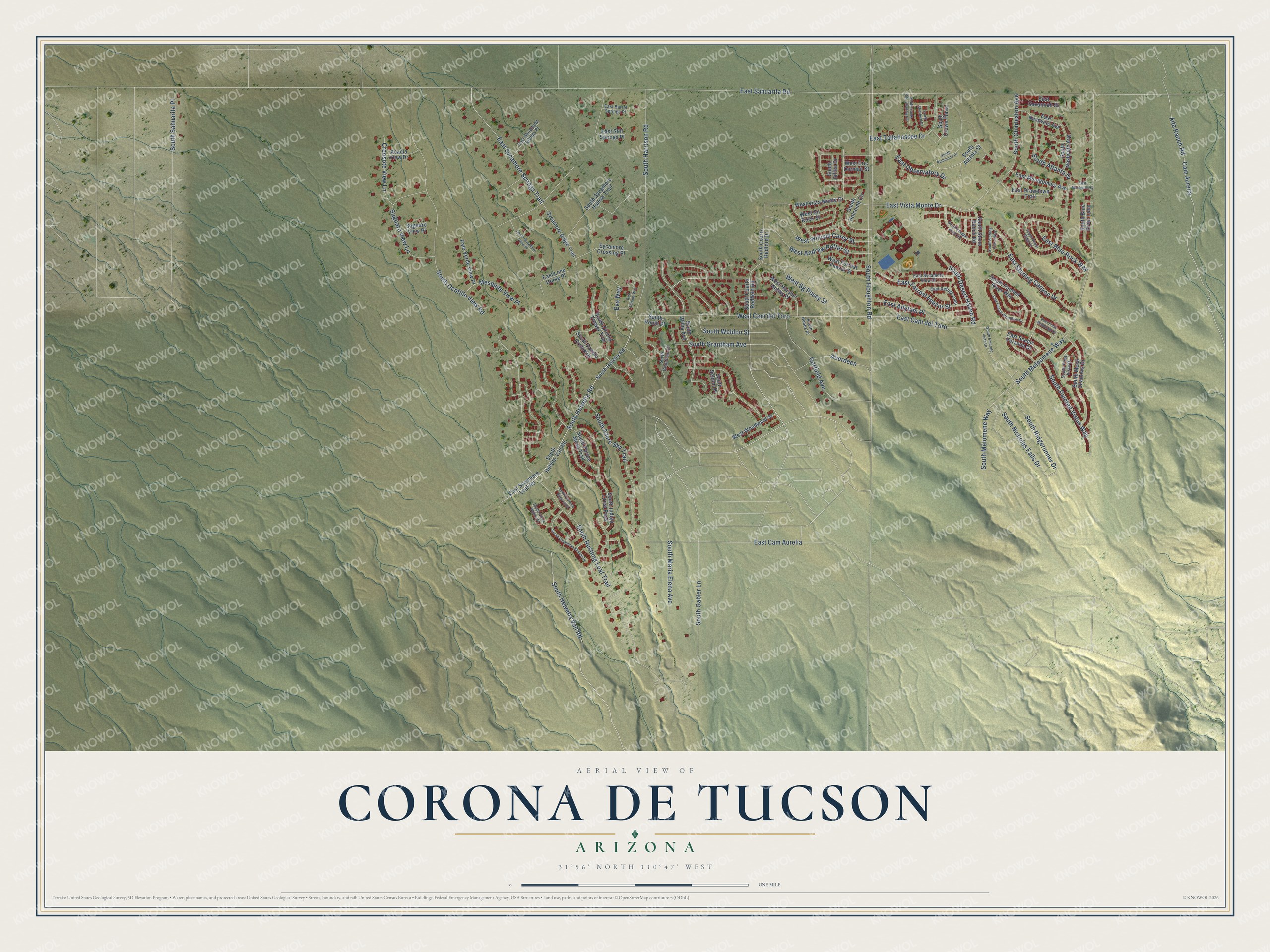
This beautifully detailed map of Corona de Tucson, Arizona was created in 2026 using aerial imagery combined with modern topographical, census, street and landmark data. It’s a one-of-a-kind view of Corona de Tucson that combines accurate data with a vintage aesthetic. The map shows every building in its true location, many of the roads carry their names, and the shaded topographic relief shows the shape of the land.
Explore an aerial view of Corona de Tucson, Arizona
On the map you’ll find West Cam del Toro, along with South Houghton Road, East Vista Monte Drive, East Sterling Canyon Drive, East Blue Rock Way, South Melpomene Way, East Sahuarita Road, South Helvetia Road, South Helvetia Vail Road, South Rustling Leaf Trail, East Sycamore Springs Trail, Alta Ranch Road, and more. Corona de Tucson sits about 7 miles southwest of Vail, 11 miles east of Sahuarita and 12 miles southwest of Rincon Valley. If you look closely you can even find your house accurately drawn in its correct location. Zoom in on the preview to look for yours.
Take a closer look at the Corona de Tucson map
Names on this map
These names are printed on this map.
Streets and roads: South Houghton Road, West Cam del Toro, East Vista Monte Drive, East Sterling Canyon Drive, East Blue Rock Way, South Melpomene Way, East Sahuarita Road, South Helvetia Road, South Helvetia Vail Road, South Rustling Leaf Trail, East Sycamore Springs Trail, Alta Ranch Road.
More street names, A to Z
Aberdeen, Acacia View Drive, Cam Aurelia, Creosote View Lane, East Adriana Way, East Adytum Place, East Barrel Springs Place, East Cactus Mountain Drive, East Cam Aurelia, East Cam del Toro, East Drawdown Trail, East Forrest Feezor Street, East Lone Horse Place, East Montgomery, East Montgomery Avenue, East Nashville Avenue, East Observatory Drive, East Pima Meadows Drive, East Refuge Loop, East Savannah Street, East Scenic Veranda Drive, East Sholefield Springs Place, East Still Springs Place, East Sycamore Leaf Road, East Sycamore View Drive, East Tallahassee Drive, Eva Way, Garfield Avenue, Mesquite View Place, Palo Verde View Place, Saguaro View Lane, Saguaro View Place, South Atlanta Drive, South Atlanta Street, South Azure Sky Trail, South Blue River Loop, South Charleston Avenue, South Courts Redfield Road, South Courts Redford Drive, South Crown Plaza, South Desert Haven Road, South Douglas Wash Road, South Emerald Vista Drive, South Gabler Lane, South Garden Sage Loop, South Grantham Avenue, South Grantham Drive, South Graythorn View Place, South Green Willow Place, South Harrison Road, South Helvita-Vail Road, South Helvita Road, South Hobbs Place, South Holcomb Circle, South Indigo Crest Pass, South Jaffee Drive, South Maria Elena Avenue, South Melomene Way, South Mesa Shadows Drive, South Nashville Avenue, South Nicholas Falls Drive, South Ocotillo View Road, South Orchid Flower Trail, South Painted River Way, South Painted Vistas Way, South Pima Vista Drive, South Purple Mesa Trail, South Richmond Drive, South Ridgerunner Drive, South Routh Place, South Sahuarita Place, South Santa Rita Shadows Drive, South Seldon Place, South Sheffield Drive, South Sterling Vistas Way, South Stone Bench Road, South Sweet Ridge Drive, South Sycamore Hollow Trail, South Vanilla Orchid Drive, South Vermillion Sunset Drive, South Weldon Street, South Willis Avenue, Sycamore Crossing Place, Sycamore Ridge Trail, West Andrew Potter Street, West Cn Rock Street, West Eric Dorman Street, West Forrest Feezor Street, West Hershel Hobbs Place, West Sg Posey Street, West Vista Monte Drive, West William Carey Street, West Woodward Street.
See it on a wall
The Corona de Tucson map as a framed print. Swipe for more.


This beautifully detailed map of Corona de Tucson makes an attractive addition to your office, library, or den, and it can even be used to teach children the geography and history of the area. It also makes a great gift for anyone with Corona de Tucson roots. When you’re done exploring, click here to get your copy of the Corona de Tucson map.