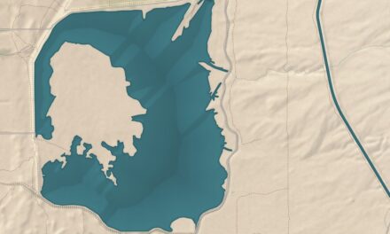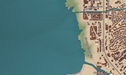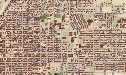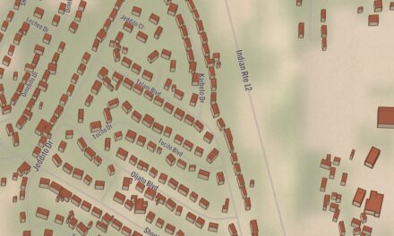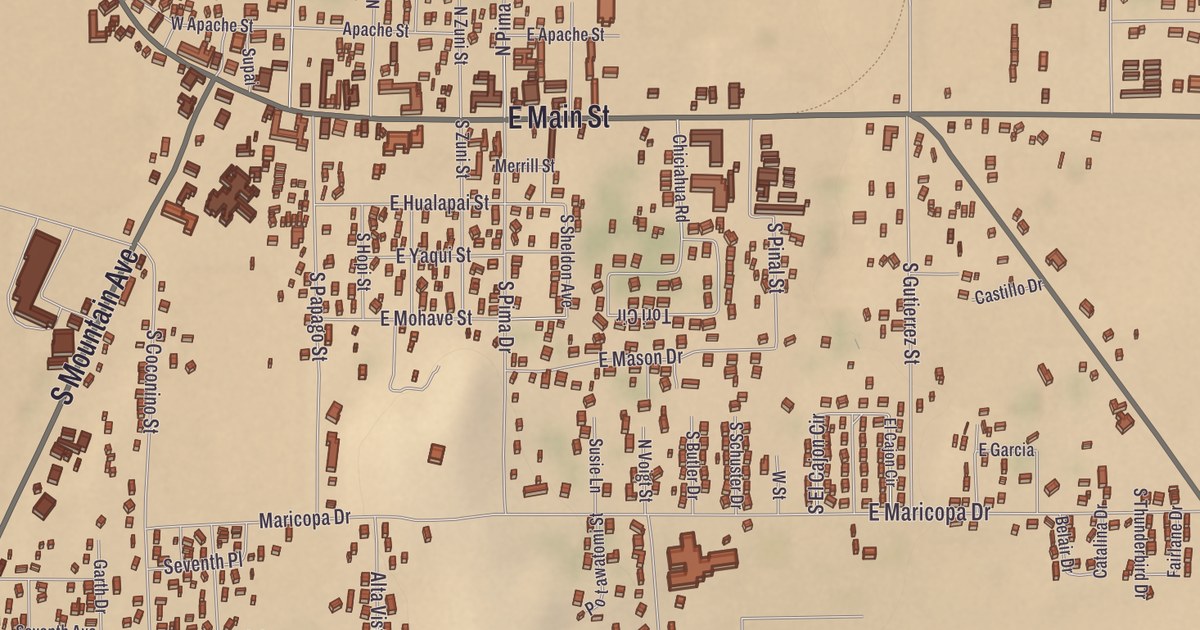
Eagar sits at the foot of the White Mountains, just north of the Apache National Forest. The map prints its history in plain sight: the Eagar School, the Colter Ranch Historic District and the Eagar Townsite Historic District, with Ramsey Park, the Round Valley Public Library, Round Valley High School and Basin Tank nearby.
Eagar is the largest town by population in Apache County, and Springerville borders it to the north.
KNOWOL made this map in 2026 and gave it the look of an old atlas. The shaded relief of the landscape comes from United States Geological Survey elevation data, and the streets were drawn from Census Bureau files. The Eagar School, the Colter Ranch and the Eagar Townsite Historic District are on the National Register of Historic Places, and we checked them against National Park Service records. The town covers 11.2 square miles, and 4,395 people lived here at the 2020 census. In Navajo, Eagar is Shádiʼááhjí Tsé Noodǫ́ǫ́z.
From Union to Eagar
This was Apache country before European Americans first settled here in 1871. Three brothers, William Walter, John Thomas and Joel Sixtus Eagar, settled the area under the direction of Brigham Young. Each took 160 acres under the Homestead Act, and once the deeds came through, again at Young’s direction, each split his land into lots sold at a discount to other church members settling the valley. The townsite district’s history traces the brothers to Round Valley in 1879, to a spot near Springerville in 1882 and onto the land that became Eagar by 1885.
In 1886, church leaders in Salt Lake City joined the Omer and Amity wards into the Union Ward, centered on the new townsite. The first postmistress, Emma Goldsbrough Udall, wanted to call the town Union, hoping it would one day join Amity and Springerville in one community. The postmaster general rejected the name as too common, so she sent in Eagarville to honor the brothers, and that was cut to Eagar sometime before December 1892, when the school district was renamed. The town incorporated in 1948.
A townsite laid out the Mormon way
The Eagar Townsite Historic District covers about 54 acres and 37 structures, 21 of them historically significant, from the founding in 1886 through 1942. It joined the National Register on July 23, 1993. The town followed the Mormon City of Zion plan, which split each square mile into ten-acre blocks with streets 132 feet wide, though Eagar’s blocks came out about 500 feet square and its streets about 90 feet wide. Water came from the Little Colorado River through the Big Ditch, and the district’s page calls the irrigation system one of the most extensive of any Mormon community in Arizona.
Timber, cattle, sheep and wool kept the town growing through the 1910s. In 1910 Eagar was the third most populous town in Apache County, with 397 people, and it had 635 by 1920. The Grapevine social hall, built in 1916, held dances, plays and benefits, served as a classroom and became the high school’s basketball court in the 1920s, and in 1927 it was the first building in Eagar wired for electricity. The Eagar historical society marks its old places with stones shaped like tombstones. One stands at the William LeSueur home, where the manager of Round Valley’s ACMI stores lived, and it remembers his wife as the area’s first registered nurse, who boarded expectant mothers and teachers from the high school. Another, at the 26 Bar Hereford Ranch, says the film star John Wayne once owned the ranch and often visited, and that it was famous in the 1940s as the Milky Way Hereford Ranch of the Mars candy family.
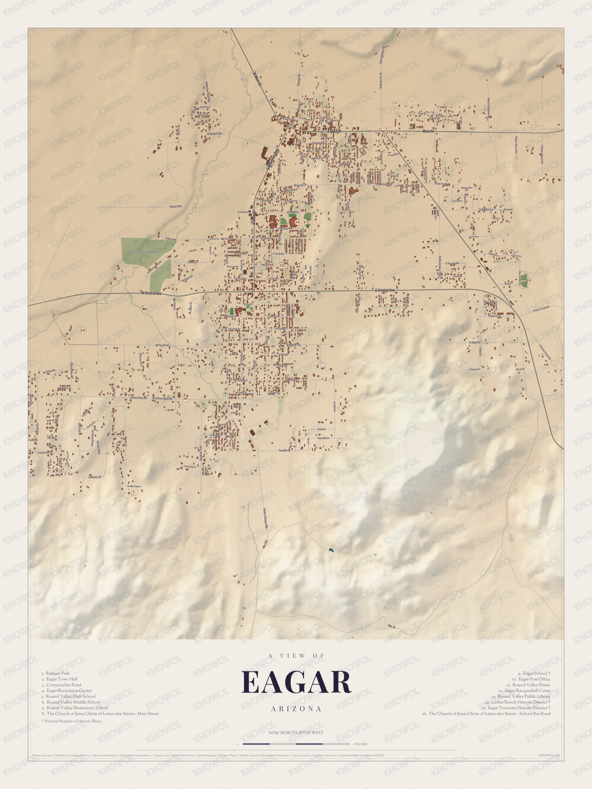
Click to explore a larger preview. The digital watermark does not appear on printed maps.
Names on this map
These names are printed on this map.
Streets and roads: W Airport Rd, Airport Rd, Becker Lake Rd, Main St, Lane Ave, Third Ave, Castillo Dr, Old Hwy 60, S Mountain Ave, Haynes Dr, Becker Ln, Becker Rd.
More street names, A to Z
Bear Rd, Canyon Rd, E Central Ave, E Crystal Ln, E Hopi Dr, Lesueur Dr, Mulligan Rd, Park Pl, Round Valley Dr, Rte 76, School Bus Rd, Second St, S Second Ave, Starlane Dr, Timberline Dr, Twelfth St, W Central Ave.
The Eagar School
On Friday, January 10, 1930, a spark from a wood stove set the town’s school on fire, and it burned to the ground in 30 minutes with no loss of life. Classes went on the next Monday in the nearby ward chapel. Albert Copeland of Mesa won the job with a bid of $21,125 and started digging the basement before the bonds were even final, using bricks from the Francis and Simpson Day brickyard on the Little Colorado. The school was dedicated on December 6, 1930. Its historical marker remembers mothers cooking hot lunch across the street during the Depression and serving it to the children at 5 cents a cup. The building served Eagar’s children for 53 years. In January 1984 it became the town hall, and later the home of the police department. It stands at the southeast corner of Main and Second Streets.
The Colter Ranch is the other National Register site. Its marker says the headquarters of Fred T. Colter’s Cross Bar Ranch sit among large cottonwoods, on land first homesteaded in 1881 by a Texan, Micajah Phelps, and that Colter built it into one of the largest cattle operations in northeastern Arizona.
Round Valley High School and the dome
Round Valley High School is the only high school in the Round Valley Unified School District, and it owns the Round Valley Ensphere, a wooden dome over its football field. The town’s page calls it the first enclosed high school football field, and the dome’s page calls it the only domed high school football stadium in the United States. It opened in 1991 and seats 5,500 for football and 9,000 for basketball and volleyball, and in September 2024 the school renamed it for its former head coach, Tot Workman. During the Rodeo-Chediski fire in 2002, the dome took in 9,800 evacuees. The former New York Jets defensive end Mark Gastineau went to Round Valley High School. The Round Valley Public Library, run by the Apache County Library District, has its place on the sheet with Ramsey Park, and Basin Tank gives the landscape its shape.
This Eagar map is a good addition to an office, library or den, and it can help teach children the geography and history of the area. It’s made for anyone who calls Eagar home, and KNOWOL created it in 2026 to show the town as it looks today. Zoom in on the preview above to explore the details, then click here to get your copy of the Eagar map.

Sources