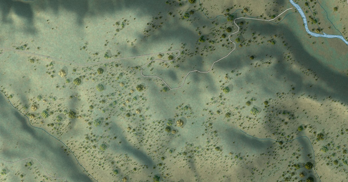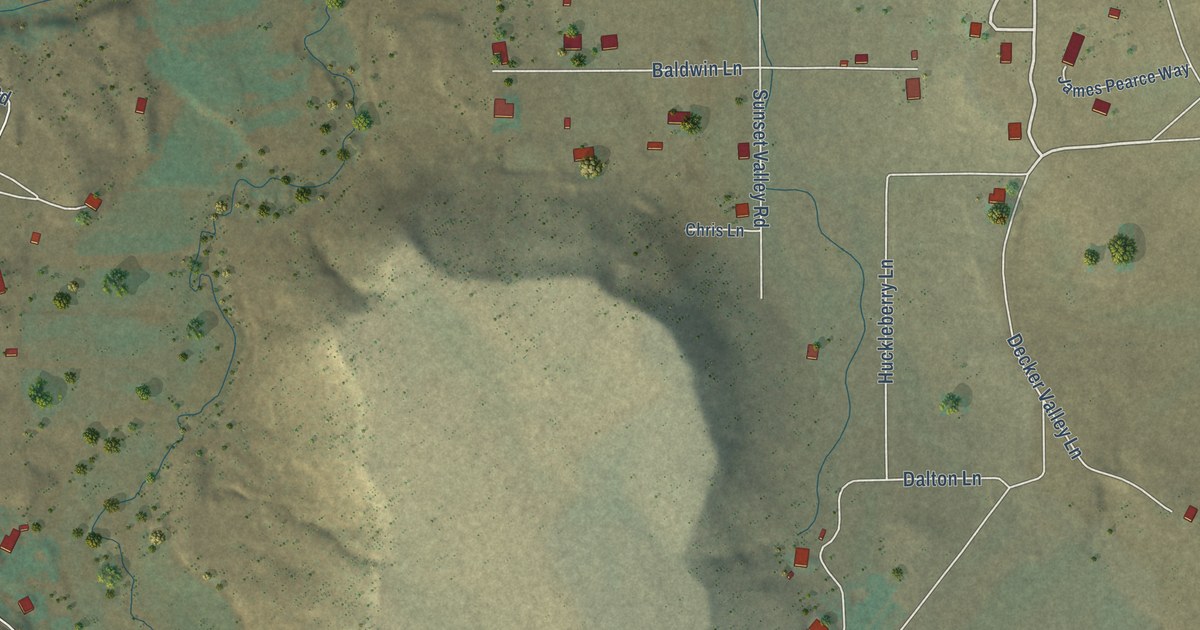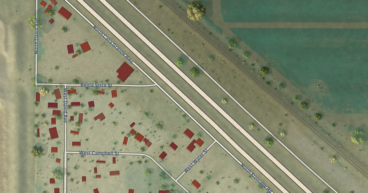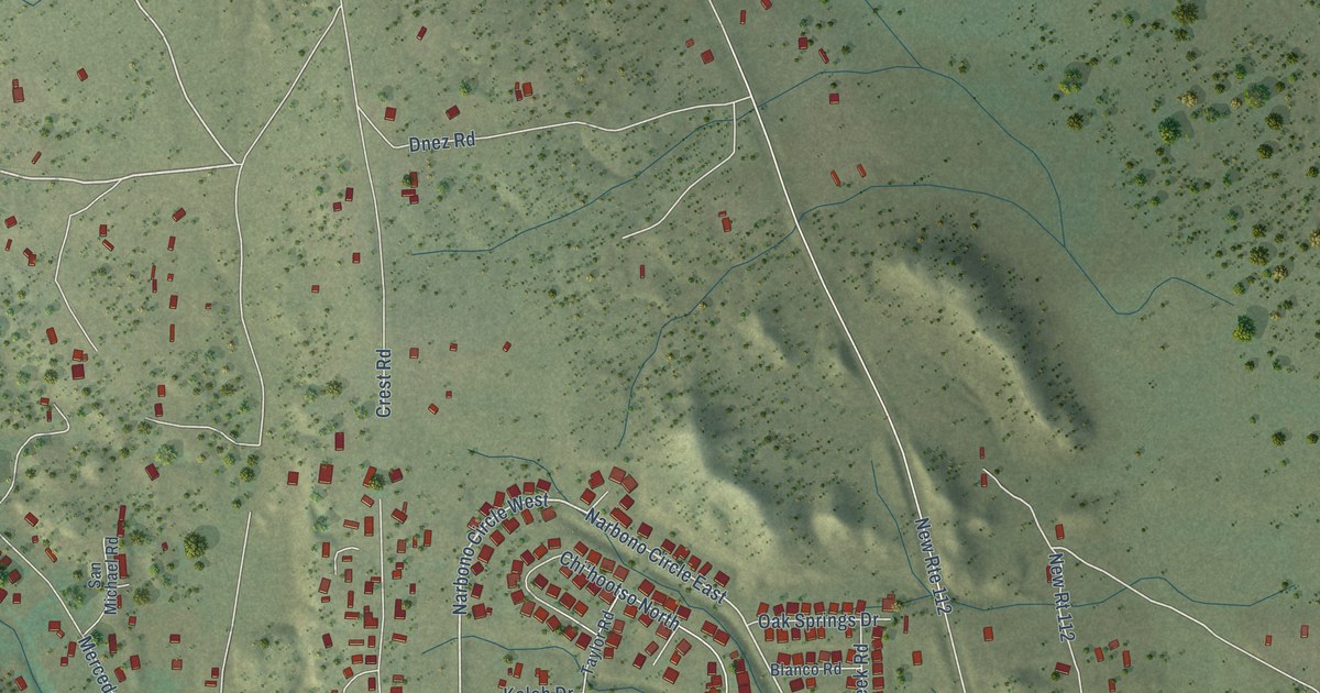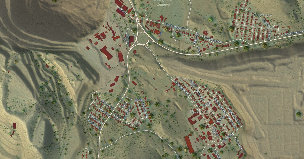
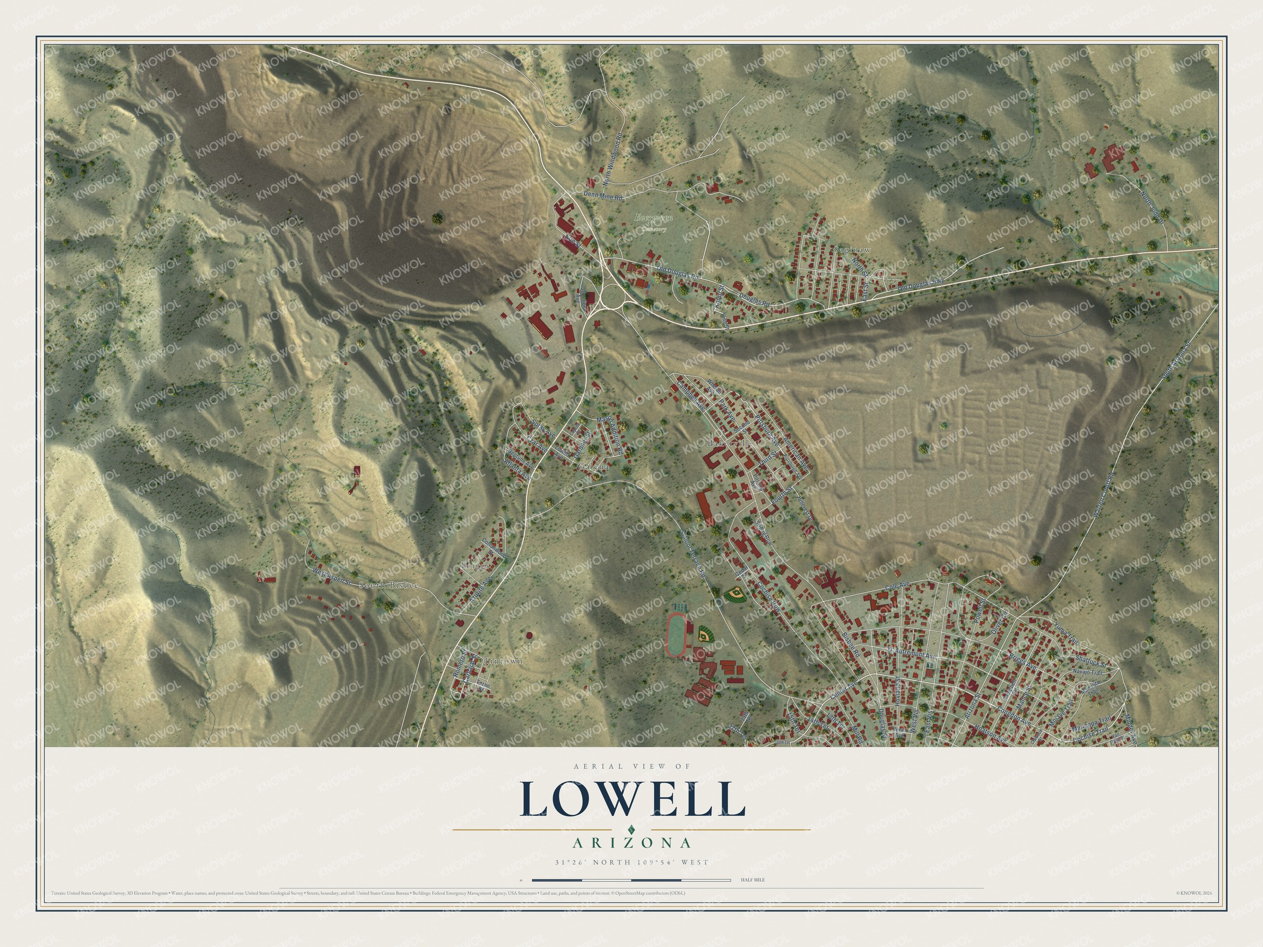
This beautifully detailed map of Lowell, Arizona was created in 2026 using aerial imagery combined with modern topographical, census, street and landmark data. It’s a one-of-a-kind view of Lowell that combines accurate data with a vintage aesthetic. The map shows every building in its true location, many of the roads carry their names, and the shaded topographic relief shows the shape of the land.
Explore an aerial view of Lowell, Arizona
On the map you’ll find Tintown, South Bisbee, Briggs, Saginaw, Evergreen Cemetery, Bakerville, and Galena, along with Congdon Avenue, Center Avenue, Cochise Trail, Pittsburg Avenue, Knipp Street, and more. If you look closely you can even find your house accurately drawn in its correct location. Zoom in on the preview to look for yours.
Take a closer look at the Lowell map
Names on this map
These names are printed on this map.
Places: Tintown, South Bisbee, Briggs, Saginaw, Evergreen Cemetery, Bakerville and Galena.
Streets and roads: Congdon Avenue, Center Avenue, Cochise Trail, Pittsburg Avenue, Knipp Street, Carbajal Street, South Arizona Street, Bisbee Road, School Terrace Road, Warren Cutoff Road, Cole Avenue, Denn Mine Road.
More street names, A to Z
13th Terrace, 14th Terrace, 15th Terrace, 19th Terrace, 27th Terrace, 30th Terrace, American Avenue, Arizona Street, Atlanta Avenue, Azurite Avenue, Briggs Avenue, Campbell Avenue, Campbell Street, Cedar Street, Clawson Street, Cochise Row, Cottonwood Street, Cuprite Street, Czar Avenue, D' Autremont Avenue, Douglas Road, Douglas Street, East Street, East Vis, Erie Street, Fourth Street, Gardner Street, Hillcrest Drive, Hoatson Avenue, Hovland Street, Ione Street, Junction Avenue, Lowell Avenue, Mance Street, Manulito Trail, Maricopa Trail, Mason Addition Road, Mill Road, Minder Avenue, Mojave Trail, Navajo Trail, Neptune Avenue, North Judd Drive, North Street, North Windwood Road, Old Douglas Highway, Old Douglas Road, Oliver Circle, Park Avenue, Pirrung Avenue, Pittsburgh Avenue, Powell Street, Romero Street, Second Street, Shattuck Street, Spray Avenue, Strong Row, Tener Avenue, Teran Street, Third Street, Van Dyke Street, West Aspen Street, West Vis, Whelan Avenue, Yuma Trail.
See it on a wall
The Lowell map as a framed print. Swipe for more.


This beautifully detailed map of Lowell makes an attractive addition to your office, library, or den, and it can even be used to teach children the geography and history of the area. It also makes a great gift for someone who left Lowell and still calls it home. When you’re done exploring, click here to get your copy of the Lowell map.