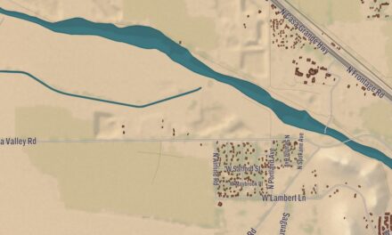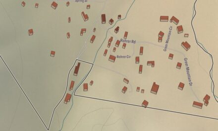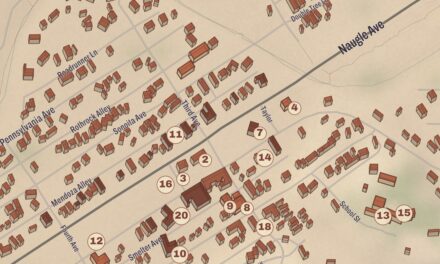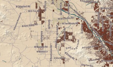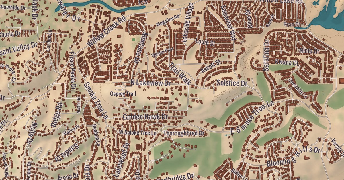
If you grew up in Prescott, you know the lawn and the elm trees of the Yavapai County Courthouse Plaza, and the block of old brick buildings facing it across Montezuma Street. This map of Prescott prints Whiskey Row, the Courthouse Plaza Historic District, the East Prescott Historic District, the North Prescott Townsite Historic District, Embry-Riddle Aeronautical University and Fort Whipple, out to Miller Valley.
Prescott is a city in and the county seat of Yavapai County.
KNOWOL made this map in 2026 and gave modern data the look of a vintage atlas. The shaded relief of Indian Hill, Kuhne Hill and Watson comes from United States Geological Survey elevation data, and the streets were drawn from Census Bureau files. Historic sites such as the Courthouse Plaza Historic District, the Yavapai County Courthouse Plaza and the East Prescott Historic District were confirmed against the National Park Service and the National Register of Historic Places. Prescott has 809 buildings on the National Register, and the city sits at 5,400 feet, just north of the Bradshaw Mountains.
A capital named for a historian
The Yavapai, the “People of the Sun,” were here first, and the Yavapai-Prescott Indian Tribe, Wiikvteepaya in the Yavapai language, still has its reservation beside and partly within the city. Joseph Walker’s party found gold on Hassayampa Creek, just south of today’s city, in 1863, and that December the Army set up Fort Whipple at Del Rio Springs, north of present-day Chino Valley. In May 1864 the post moved south to the east bank of Granite Creek, near a camp of miners’ tents, and Governor John Noble Goodwin chose a townsite close by for the new territorial capital. At a public meeting on May 30, 1864, the town was named for the historian William H. Prescott, whose books territorial secretary Richard McCormick admired. Robert W. Groom surveyed the new town, and the first auction, on June 4, sold 73 lots. Prescott lost the capital to Tucson in 1867, won it back in 1877 and gave it up to Phoenix for good in 1889.
Fort Whipple stayed busy long after that. Buffalo Soldiers of Troop B, 10th Cavalry, were stationed there from 1885 to 1886, and in 1898 the post reopened to muster 200 Arizona volunteers, the “Arizona Cowboy Regiment,” who fought in Cuba as Rough Riders. Later it became a hospital for soldiers with tuberculosis and then a Veterans Administration hospital, today the Bob Stump VA Medical Center. The old post was listed on the National Register in 1999, and a former officers’ quarters opened as the Fort Whipple Museum in 2004. Not until 1935 did the Yavapai receive a reservation, and its first 75 acres came from the former Fort Whipple. Viola Jimulla and her husband Sam worked with local and national officials to win that land. After Sam died in 1940, Viola led the Prescott Yavapai as chief until her death in 1966. The Prescott Yavapai Tribal Council was formed under her leadership, and she was elected to the Arizona Women’s Hall of Fame in 1986.
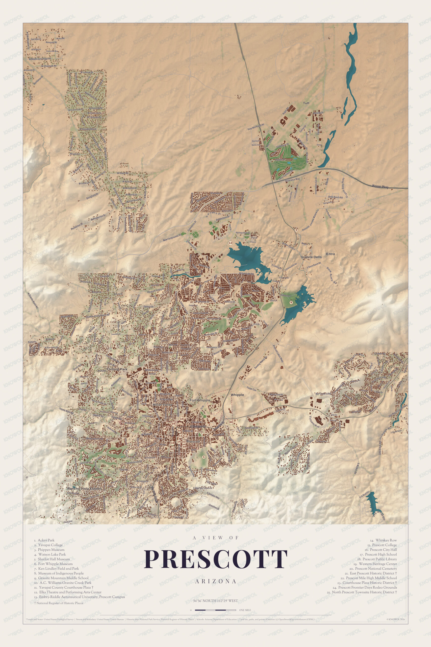
Click to explore a larger preview. The digital watermark does not appear on printed maps.
Names on this map
These names are printed on this map.
Streets and roads: W Oso Rd, Renegade Rd, W Bridle Ln, W Chipmunk Rd, Live Oak Dr, Granite Oaks Dr, W Oneal Rd, W Kelly Dr, Buchanan Dr, Starling St, S Clubhouse, Caldwell Cr.
More street names, A to Z
Angus Dr, Bailey Ave, Basin Rd, Commence Dr, Country Park Dr, Currus Dr, Dells Ranch Rd, E FS Rd 611, E Granite Dells Rd, Galaxy Ln, Geneva Dr, Iron Rock Pl, Lear Ln, Lee Blvd, Lee Cir, Middlebrook Rd, N Granite Ave, Old Black Canyon Hwy, Oregon Ave, Pine Lakes Dr, Quartz Way, Robin Dr, Rockwood Dr, Rose Rd, Senator Hwy, Shoshone Dr, Side Rd, Sundog Ranch Rd, Vale Ln, Woodside Dr.
The plaza and Whiskey Row
At the center of the plaza is the Yavapai County Courthouse. Italian stonemasons quarried its granite, the cornerstone went down in October 1916, and William N. Bowman’s Neoclassical Revival building was finished in 1918. Barry Goldwater announced his 1964 run for president from its steps. In front stands the Buckey O’Neill Monument, Solon Borglum’s bronze horse and rider, unveiled in 1907 to honor the Rough Riders and Captain William O. O’Neill. In 2008 the American Planning Association named the courthouse plaza one of the first ten “Great Public Places” in America. The Courthouse Plaza Historic District around it was listed in 1978 with 26 contributing buildings, among them the Masonic Temple, the Palace Hotel, the St. Michael Hotel and the Goldwater Mercantile.
Whiskey Row is the block of Montezuma Street between Goodwin and Gurley streets, where more than 40 saloons once stood side by side. In 1897 it became the first part of Prescott with outdoor public lighting. On July 14, 1900, the Great Fire swept five city blocks, most of Whiskey Row among them, and patrons carried the hand-carved Brunswick bar out of the burning Palace and set it down across the street. The Palace, opened in 1877 and rebuilt in 1901, is described as the oldest business in Arizona. Its bar was built in New Jersey, shipped around the tip of South America to San Francisco and brought the rest of the way by pack mule. Each year Prescott hosts what it calls the “World’s Oldest Rodeo,” held since 1888, and the city claims it was the first rodeo to charge admission. Governor Rose Mofford named Prescott “Arizona’s Christmas City” in 1989.
Around the map
The East Prescott Historic District, listed in 1989, is bounded in part by the Atchison, Topeka and Santa Fe railroad tracks, and the North Prescott Townsite Historic District, listed in 2009, runs between Gurley, Sheldon, Alarcon and Summit streets; they’re two of the city’s 12 National Register districts. The Sharlot Hall Museum grew from the collection of Sharlot Hall, a poet and historian and the first woman to hold an office in the territorial government. In 1928 she opened her museum in the cabin that had served as the territory’s Governor’s Mansion, built in 1864. Embry-Riddle Aeronautical University opened its Prescott campus in 1978 on the grounds of the former Prescott College, in the Bradshaw Mountain country about three miles from Prescott’s airport. North of the center, Watson Lake sits among the boulders of the Granite Dells, and the Peavine National Recreation Trail follows the old Santa Fe, Prescott and Phoenix Railway grade through them. Indian Hill, Kuhne Hill and Miller Valley appear by name too.
This Prescott map makes a fine addition to an office, library or den, and it can help teach children the geography and history of the area. It’s made for anyone who calls Prescott home, from Whiskey Row to Fort Whipple, and KNOWOL created it in 2026 to show the city as it looks today. Zoom in on the preview above to explore the details, then click here to get your copy of the Prescott map.

Sources
- Prescott, Arizona, Wikipedia
- List of historic properties in Prescott, Arizona, Wikipedia
- Fort Whipple, Arizona, Wikipedia
- Yavapai-Prescott Indian Tribe, Wikipedia
- Viola Jimulla, Wikipedia
- Yavapai County Courthouse, Wikipedia
- Buckey O’Neill Monument, Wikipedia
- Courthouse Plaza Historic District, Wikipedia
- Whiskey Row, Prescott, Wikipedia
- The Palace Restaurant and Saloon, Wikipedia
- Sharlot Hall Museum, Wikipedia
- Sharlot Hall, Wikipedia
- Embry-Riddle Aeronautical University, Prescott, Wikipedia
- Granite Dells, Wikipedia
- Watson Lake (Arizona), Wikipedia