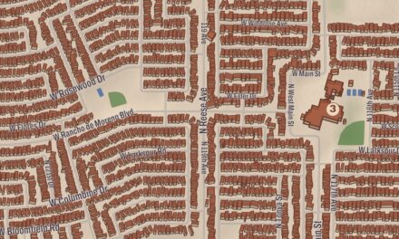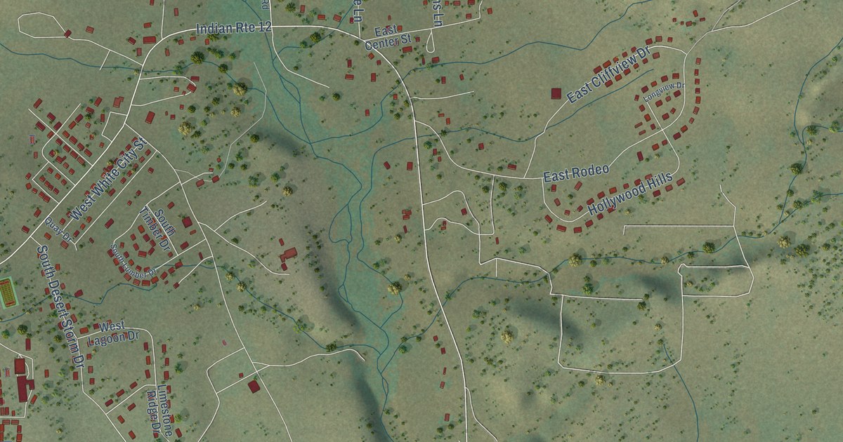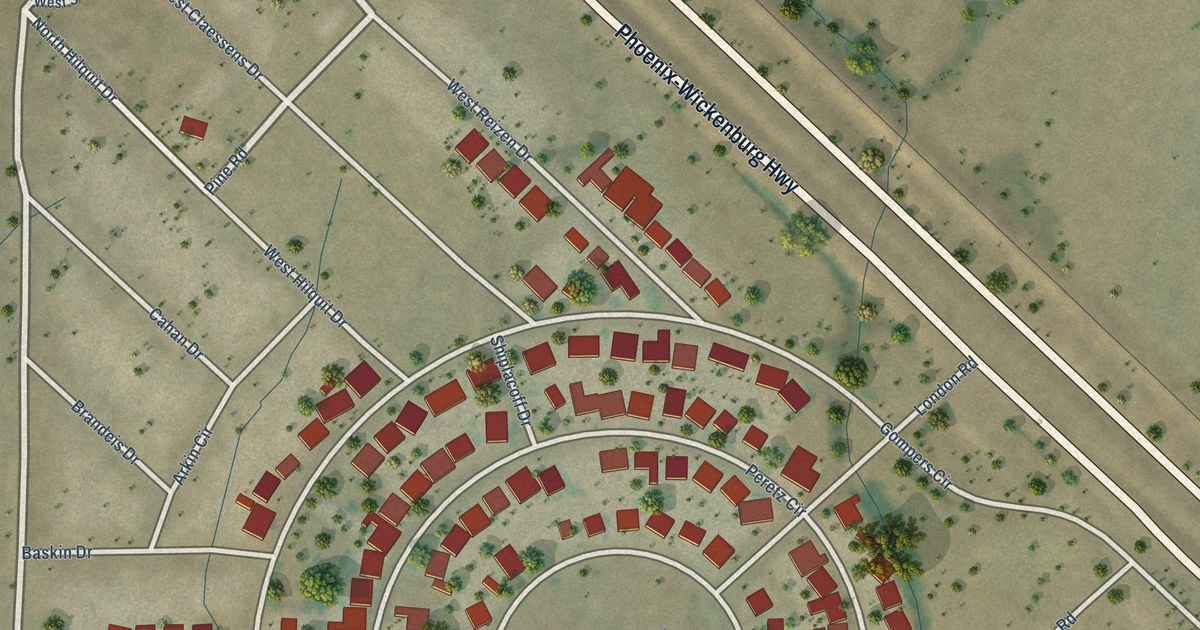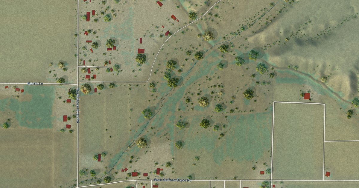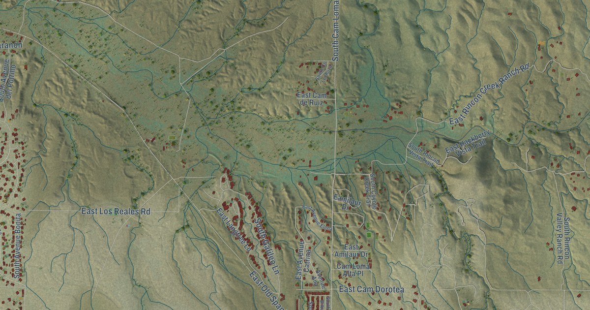
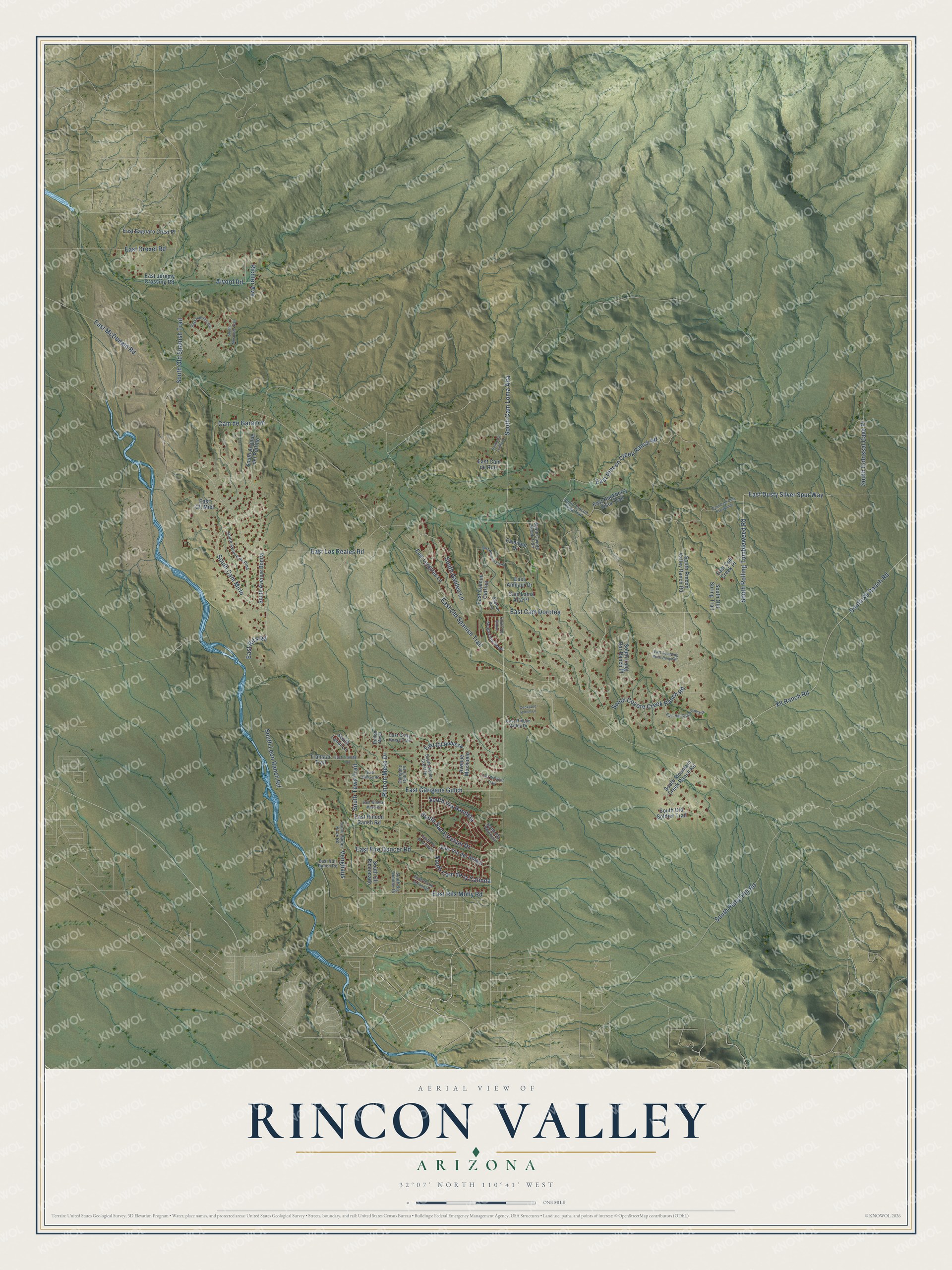
This beautifully detailed map of Rincon Valley, Arizona was created in 2026 using aerial imagery combined with modern topographical, census, street and landmark data. It’s a one-of-a-kind view of Rincon Valley that combines accurate data with a vintage aesthetic. The map shows every building in its true location, many of the roads carry their names, and the shaded topographic relief shows the shape of the land.
Explore an aerial view of Rincon Valley, Arizona
On the map you’ll find South Cam Loma Alta, South Cam Mirlo, and Venghaus, along with East Dusty Silver Spur Way, Rincon Mesa Drive, South Rolling Tumbleweed Road, East Old Spanish Trail, South X9 Ranch Road, X9 Ranch Road, South Coyote Creek Ranch Road, East Los Reales Road, East Rincon Creek Ranch Road, and more. Rincon Valley sits about 6 miles north of Vail, 11 miles east of Tucson and 11 miles south of Tanque Verde. If you look closely you can even find your house accurately drawn in its correct location. Zoom in on the preview to look for yours.
Take a closer look at the Rincon Valley map
Names on this map
These names are printed on this map.
Streets and roads: South Cam Loma Alta, South Cam Mirlo, East Dusty Silver Spur Way, Rincon Mesa Drive, South Rolling Tumbleweed Road, Venghaus, East Old Spanish Trail, South X9 Ranch Road, X9 Ranch Road, South Coyote Creek Ranch Road, East Los Reales Road, East Rincon Creek Ranch Road.
More street names, A to Z
Alvord Road, Avenue Ana, Avenue Mochuelo, Cam de Garanon, Cam Loma Alta Place, Cockatoo Ranch Lane, Eamilaur Drive, East Amilaur Drive, East Avenue Catrina, East Avenue Elena, East Cam de Ruiz, East Cam Dorotea, East Cam Dos Hermanas, East Cll Miel, East Cll Nobleza, East Colt Creek Place, East Crazy Horse Trail, East Drexel Road, East Fire Dancer Road, East Garigans Gulch, East Hackberry Vista Trail, East Hat Creek Ranch Place, East Hillcrest Circle, East Jeremy Crossing Road, East Kahlua Road, East Langtree Lane, East McDonald Road, East Rex Molly Road, East Rincon Ranch Road, East Rincon Valley Drive, East Rita Road, East Saguaro Crest Place, East Transtar Trail, East Tumbling West Ranch Place, East Vail Ranch Road, East Via del Abrigo, East Whisper Trail, East Wildcat Mesa Drive, Garigans Gulch Place, Richter Avenue, Rinlon Mesa, South Antler Crest Drive, South Avenue Bonita, South Avenue del Potrillo, South Avenue de Pina, South Big Thunder Drive, South Cam de la Calinda, South Cam Serpe, South Cll Lechuza, South Cll Rinconado, South Colossal Cave Place, South Coyote Creek Trail, South Galileo Lane, South Lanai Lane, South Leon Ranch Road, South Long Bar Ranch Place, South Mesquite Trail, South Mountain Creek Ranch Road, South Old Soldier Trail, South Old Spanish Trail, South Old Spring Trail, South Pistol Hill Road, South Pla Bilbao, South Pla de la Bondad, South Pla de la Causa, South Pla Potencia, South Rincon Valley Ranch Road, South Rincon Vista Trail, South San Esteban Drive, South Spider Rock Road, South Tewa Trail, South Via Bandera, Transtar Trail.
See it on a wall
The Rincon Valley map as a framed print. Swipe for more.


This beautifully detailed map of Rincon Valley makes an attractive addition to your office, library, or den, and it can even be used to teach children the geography and history of the area. It also makes a great gift for anyone with Rincon Valley roots. When you’re done exploring, click here to get your copy of the Rincon Valley map.