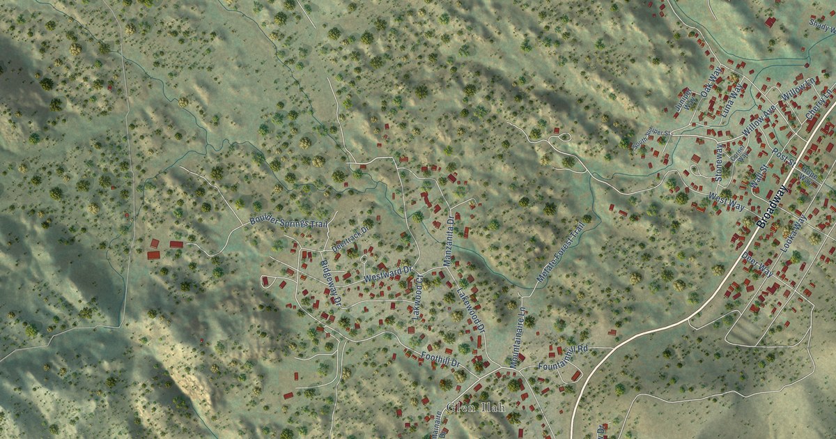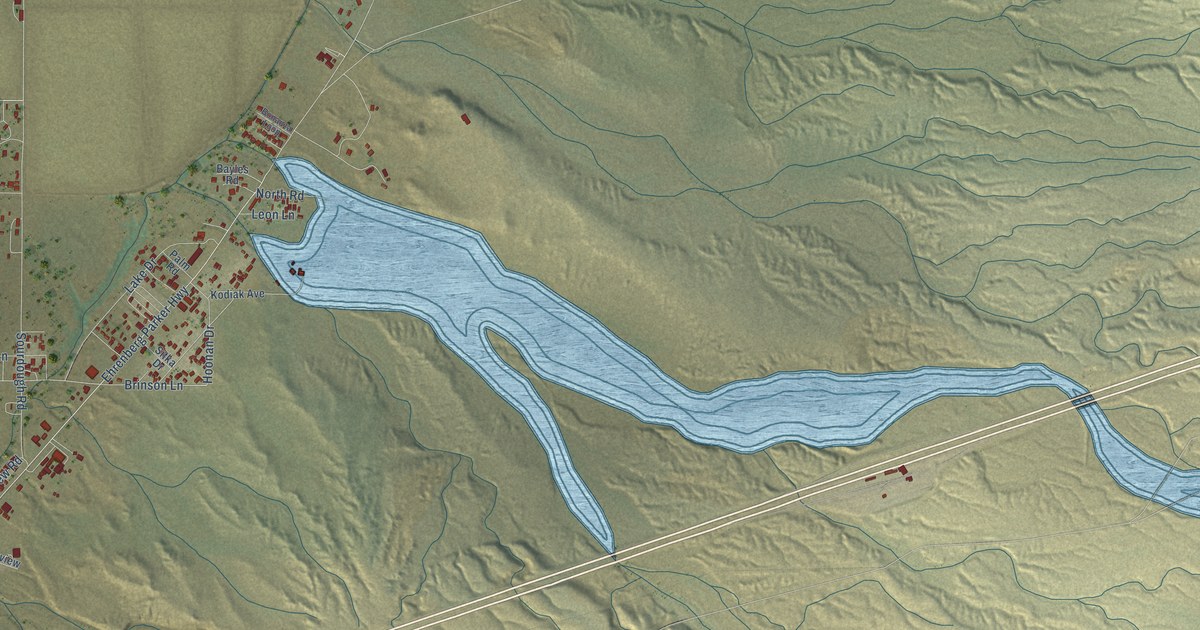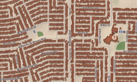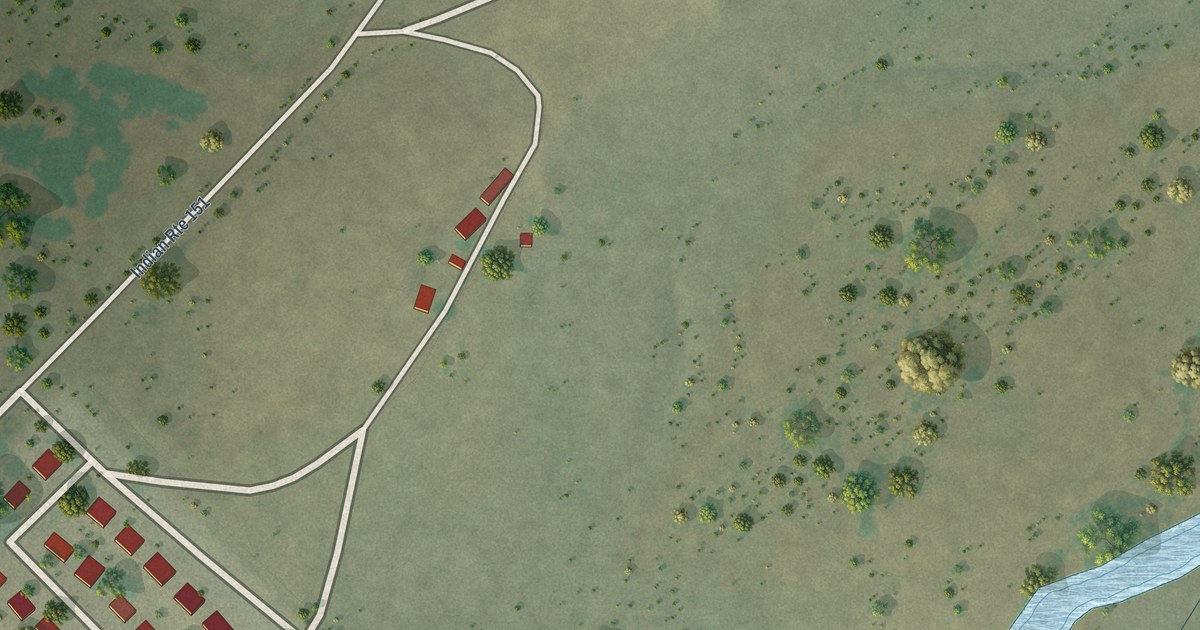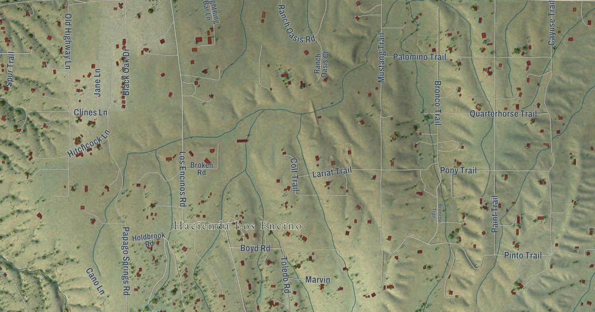
This beautifully detailed map of Sonoita, Arizona was created in 2026 using aerial imagery combined with modern topographical, census, street and landmark data. It’s a one-of-a-kind view of Sonoita that combines accurate data with a vintage aesthetic. The map shows every building in its true location, many of the roads carry their names, and the shaded topographic relief shows the shape of the land.
Explore an aerial view of Sonoita, Arizona
On the map you’ll find Hacienda Los Encino and Casa Arroyo, along with Holdbrook Drive, Los Encinos Road, Apache Trail, Collie Drive, Bronco Trail, Terry Lane, Mustang Trail, Pinto Trail, Wagon Wheel Lane, Casa Arroyo Road, and more. Sonoita sits about 6 miles west of Elgin, 10 miles northeast of Patagonia and 18 miles west of Huachuca City. If you look closely you can even find your house accurately drawn in its correct location. Zoom in on the preview to look for yours.
Take a closer look at the Sonoita map
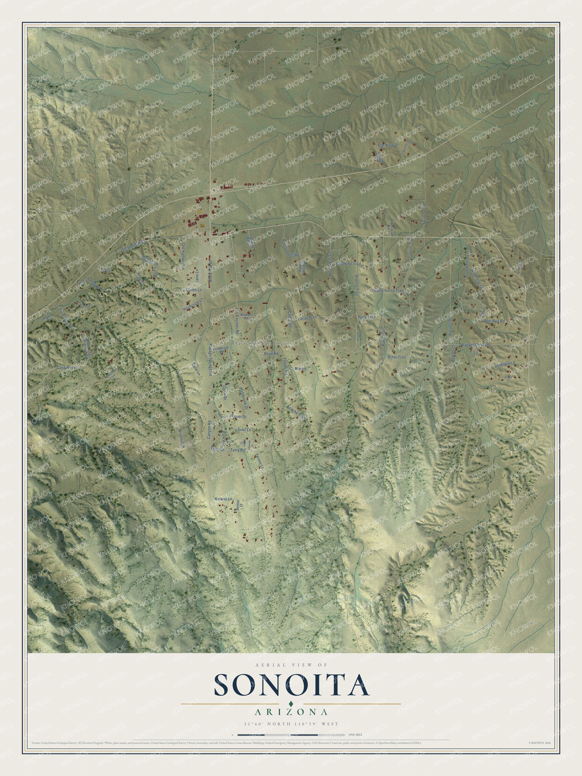
Names on this map
These names are printed on this map.
Places: Hacienda Los Encino.
Streets and roads: Holdbrook Drive, Los Encinos Road, Apache Trail, Collie Drive, Bronco Trail, Terry Lane, Mustang Trail, Pinto Trail, Wagon Wheel Lane, Casa Arroyo Road, Casa Arroyo, Frazier Drive.
More street names, A to Z
Abbey Lane, Ambrose Lane, Ambrose Ranch Road, Arrowhead Court, Benton Court, Black Oak Drive, Boyd Road, Broken Road, Broncho Trail, Buckskin Lane, Buffalo Court, Callejon Casas del Arroyo Road, Cano Lane, Canyon Road, Cayuse Trail, Clines Lane, Cll Sobaipurl, Colt Trail, Coyote Court, Coyote Lane, Deer Run Road, Franklin Road, Frazier Lane, Harvest Drive, Hitchcock Lane, Holbrook Drive, Holdbrook Road, Imperio Corte, Jane Lane, Javelina Court, Kellogg Lane, Kellog Lane, La Montana Corte, Lariat Trail, Lightning Bar Lane, Marvin, Old Highway Lane, Old Sonita Highway, Paint Trail, Palomino Trail, Papago Springs Road, Park Avenue, Pony Trail, Quarterhorse Trail, Ranch Oasis Court, Ranch Oasis Road, Roland Lane, Sims Lane, Spur Trail, Star View Drive, Swanson Road, Swiehart Lane, Terney Lane, Terry Road, Thunderhead Trail, Thurstaston Lane, Toledo Road, Water Court, Wildhorse Court, Windmill Drive.
See it on a wall
The Sonoita map as a framed print. Swipe for more.


This beautifully detailed map of Sonoita makes an attractive addition to your office, library, or den, and it can even be used to teach children the geography and history of the area. It also makes a great gift for someone who left Sonoita and still calls it home. When you’re done exploring, click here to get your copy of the Sonoita map.