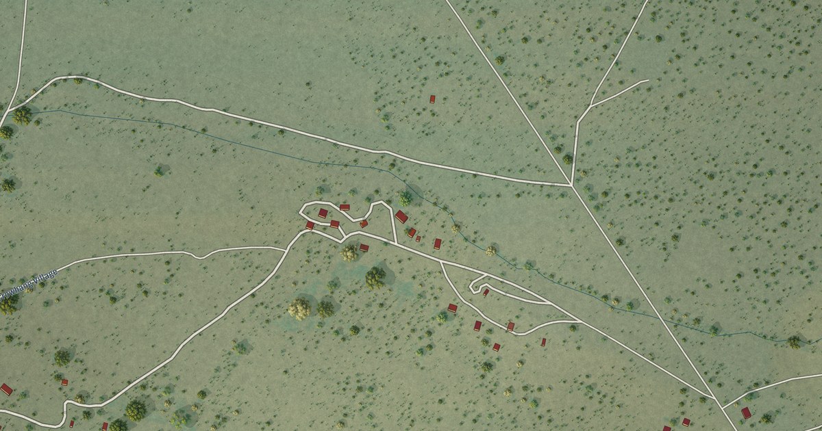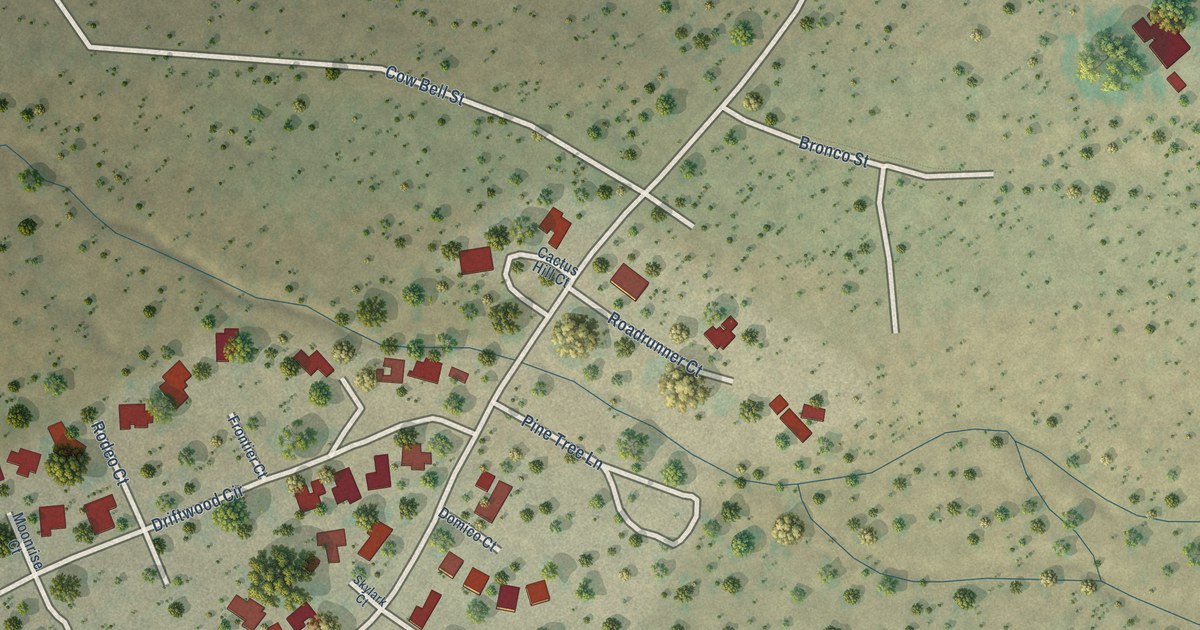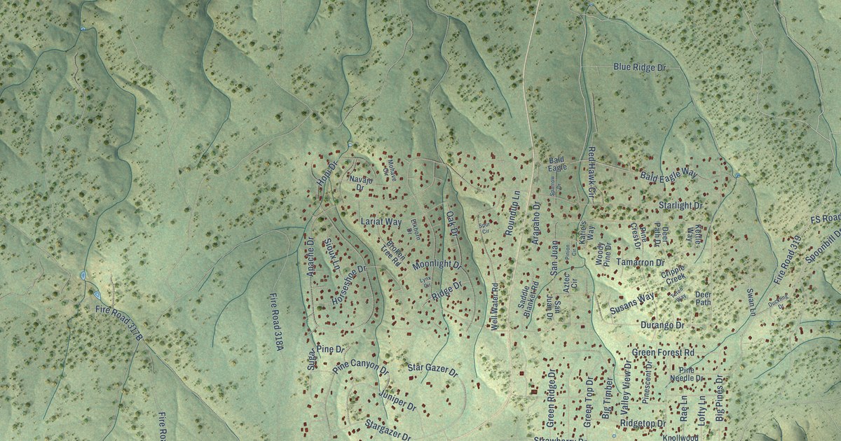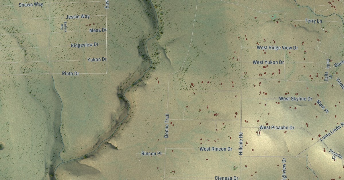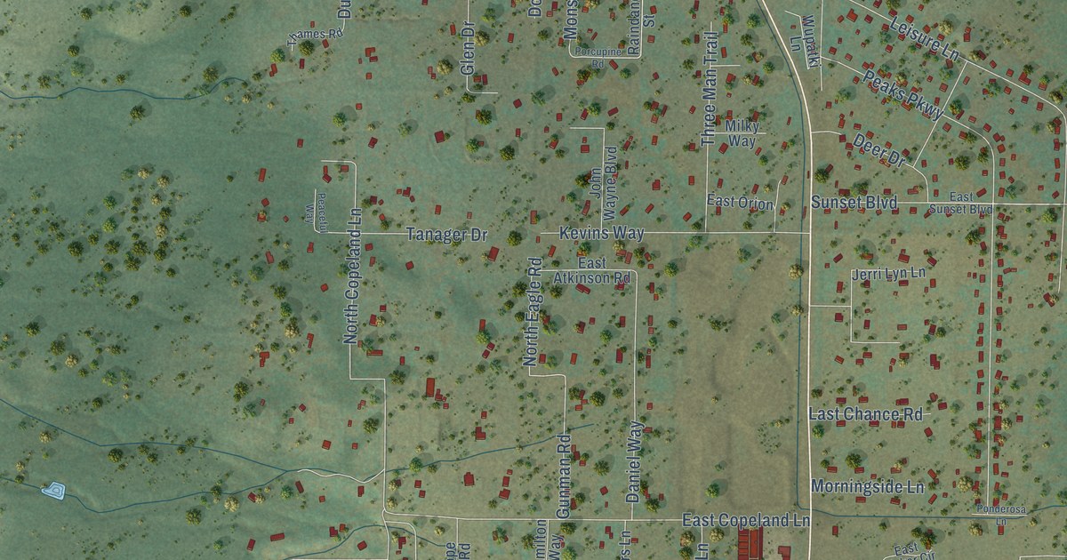
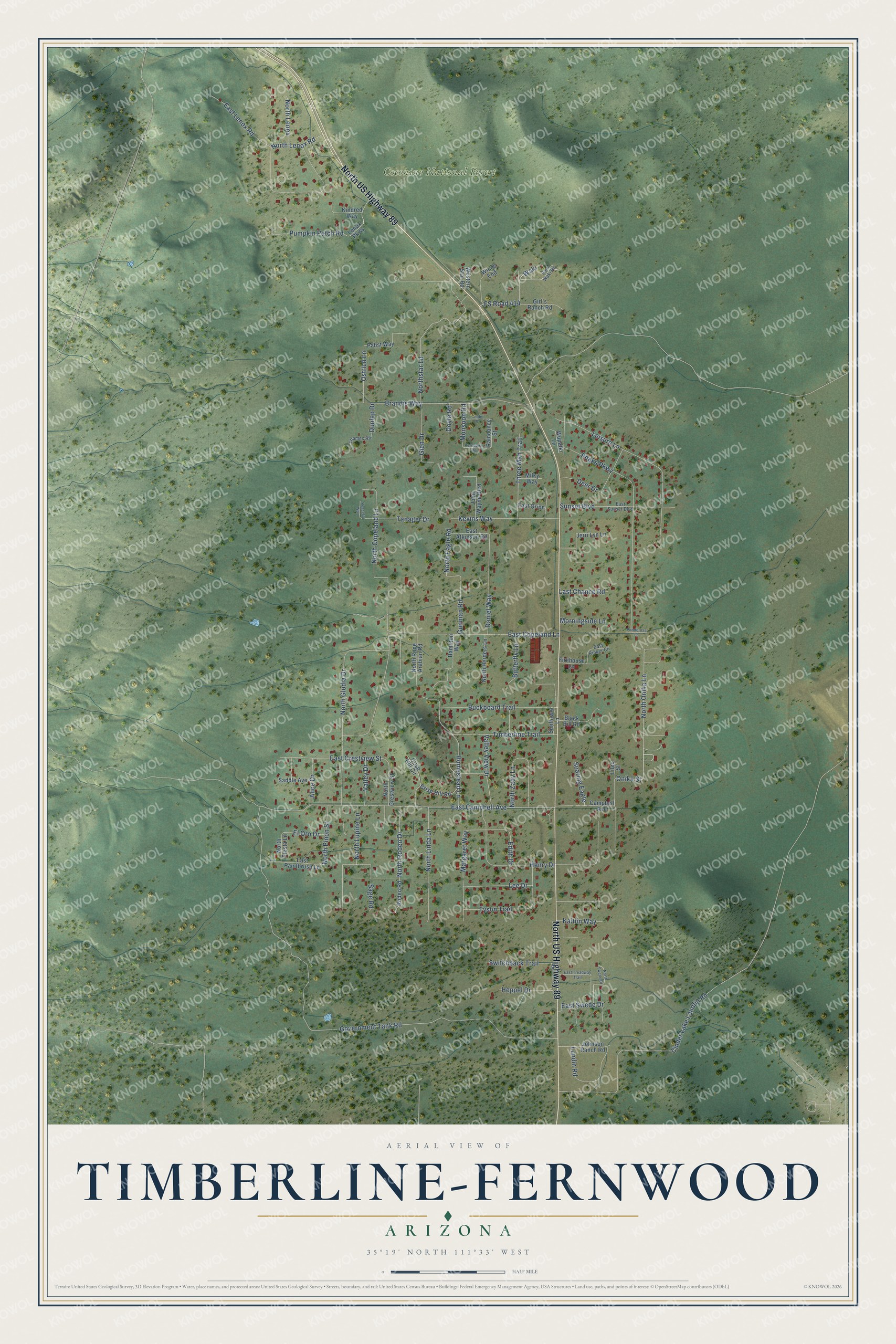
This beautifully detailed map of Timberline-Fernwood, Arizona was created in 2026 using aerial imagery combined with modern topographical, census, street and landmark data. It's a modern aerial view of Timberline-Fernwood in Coconino County, Arizona, that combines modern data with a vintage aesthetic. The roads feature printed names, and if you look closely you can find your exact house accurately shown in its correct location.
Explore an aerial view of Timberline-Fernwood, Arizona
On this map you'll find Coconino National Forest, North US Highway 89, Onika Street, Sunset Boulevard, FS Road 414, North Lenox Road, Waki, East Campbell Avenue, North Copeland Lane, Cinder Lake Landfill Road, Government Tank Road, Leisure Lane, and more. Each red shape is a building, so zoom in on the preview and look for yours.
Timberline-Fernwood is a community in Coconino County. The Census Bureau counted 2,572 people here in 2020. Timberline-Fernwood sits about 4 miles northwest of Doney Park, 7 miles northwest of Mountain View Ranches and 10 miles northeast of Flagstaff. The map prints the town name in its title panel, with the coordinates below it.
Take a closer look at the Timberline-Fernwood map
Names on this map
These names are printed on this map.
Places: Coconino National Forest.
Streets and roads: North US Highway 89, Onika Street, Sunset Boulevard, FS Road 414, North Lenox Road, Waki, East Campbell Avenue, North Copeland Lane, Cinder Lake Landfill Road, Government Tank Road, Leisure Lane, Peaks Parkway.
More street names, A to Z
Alice Drive, Black Bill Road, Brandis Way, Buckboard Trail, Butterfly Lane, Campbell Avenue, Cinder Drive, Crisp Hill Circle, Crisp Hill Road, Daniel Way, Deer Drive, Doyle Road, Dunlap Drive, East Atkinson Road, East Copeland Lane, East Crestview Street, East Lenox Road, East Orion, East Paintbrush Lane, East Rinker Circle, East Sunset Boulevard, East Swede Drive, East Treadway Trail, East Waki Road, Edith Drive, El Oro Drive, Firehouse Lane, Girl's Ranch Road, Glen Drive, Gunman Road, Hamilton Way, Henry Drive, Heppel Drive, Homestead Lane, Jerri Lyn Lane, Johnson Ranch Road, John Wayne Boulevard, Kaitlin Way, Kevins Way, Kindred Way, Last Chance Road, Lee Drive, Lenox Parkway, Lilac Street, Lundin Road, Margaret Way, Milky Way, Monsoon Road, Morningside Lane, North Crestview Street, North Eagle Road, North Glodia Drive, North Herders Lane, North Lenox, North Linda Lane, North Lupine Lane, North Onika Lane, North Pinon Street, North Rodeo Drive, North Rope Arabian Road, North Siesta Lane, Northstar Lane, North Swede Drive, North Zady Lane, Ostrich Lane, Pabst Way, Peaceful Way, Ponderosa Lane, Porcupine Road, Pumpkin Patch Road, Raindance Street, Rodeo Road, Saddle Avenue, Sage Road, Soaring Eagle, Sunflower Lane, Switchback Trail, Tanager Drive, Thames Road, Three Man Trail, Timberline Trail, Tyson Trail, Valley Drive, Valley View Drive, Western Star Road, Winds End, Wupatki Lane.
See it on a wall
The Timberline-Fernwood map as a framed print. Swipe for more.


Created by KNOWOL in 2026. The buildings are small red shapes, the roads carry their printed names, and shaded relief shows the shape of the land. The title panel reads "AERIAL VIEW OF TIMBERLINE-FERNWOOD, ARIZONA" with 35°19' NORTH 111°33' WEST.
It looks right in a kitchen, an office or a den, and it's a gift for anyone who grew up in Timberline-Fernwood or moved away. Open the preview and find your street. See sizes and frames for the Timberline-Fernwood map.