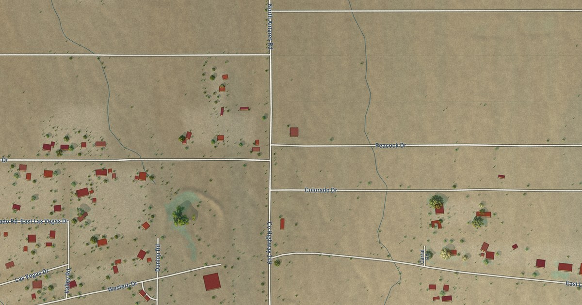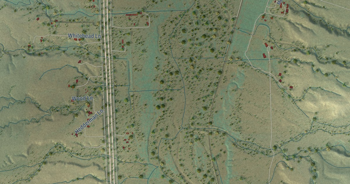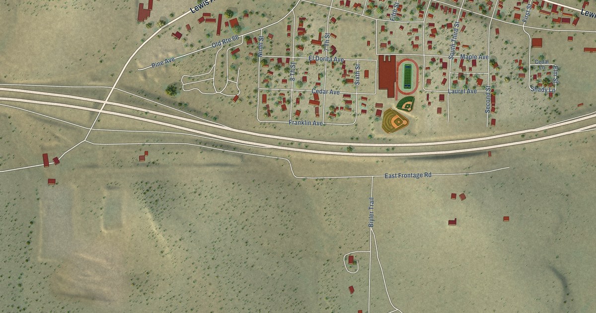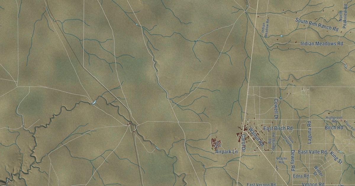
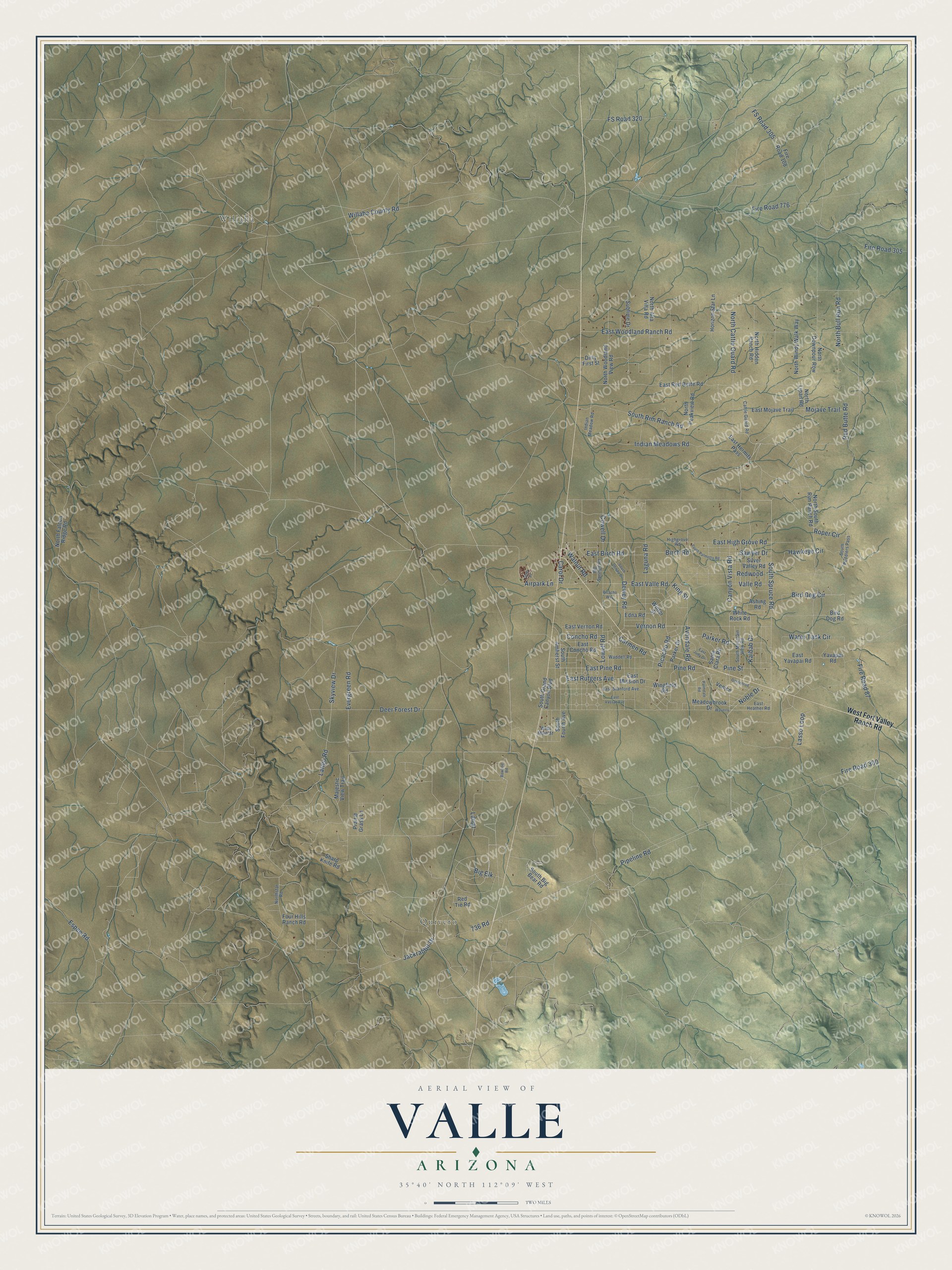
This beautifully detailed map of Valle, Arizona was created in 2026 using aerial imagery combined with modern topographical, census, street and landmark data. It’s a one-of-a-kind view of Valle that combines accurate data with a vintage aesthetic. The map shows every building in its true location, many of the roads carry their names, and the shaded topographic relief shows the shape of the land.
Explore an aerial view of Valle, Arizona
On the map you’ll find Willaha and Quivero, along with Pipeline Road, South Spruce Road, Latigo Road, Skyview Drive, South Rim Ranch Road, Red Butte Road, East High Grove Road, Lowell Road, East Pine Road, Carmen Road, and more. Valle sits about 19 miles south of Tusayan, 22 miles north of Red Lake and 27 miles south of Grand Canyon Village. If you look closely you can even find your house accurately drawn in its correct location. Zoom in on the preview to look for yours.
Take a closer look at the Valle map
Names on this map
These names are printed on this map.
Places: Willaha and Quivero.
Streets and roads: Pipeline Road, South Spruce Road, Latigo Road, Skyview Drive, South Rim Ranch Road, Red Butte Road, East High Grove Road, Lowell Road, East Pine Road, Carmen Road, Avondale Road, Redwood.
More street names, A to Z
736 Road, Airpark Lane, Ashing Road, Big Elk, Big Springs Road, Birch Road, Bird Dog Circle, Bird Dog Road, Bowline Road, Canyon Vista Road, Carol Drive, Cattle Guard Road, Concho Road, Cowell Drive, Deer Forest Drive, Dewey Road, Dirty First Street, East Birch Road, East Concho Road, East Heather Road, East Hermits Pass, East Judy Drive, East Mission Drive, East Mojave Trail, East Red Butte Road, East Rutgers Avenue, East Stanford Avenue, East Valle Road, East Vassar Avenue, East Vernon Road, East Woodland Ranch Road, East Yavapai Road, Edna Road, Espee Road, Evergreen Road, Fire Road 87, Fire Road 108, Fire Road 300, Fire Road 305, Fire Road 776, Four Hills Ranch Road, FS Road 305, FS Road 320, Goldenrod, Hawkeye Circle, Highgrove Road, Horizon Star Lane, Indian Meadow Road, Indian Meadows Road, Jackrabbit Drive, Kaibab Drive, King Street, Laguna Road, Lariat, Lasso Loop, Majestic View Trail, Meadowbrook Drive, Mojave Trail, Noble Drive, North Alta Villa Road, North Bull Run Road, North Cattle Guard Road, North Downpour Row, North Falcon Ridge Road, North Hidden Ranch Road, North Lipan Road, North Peakview Road, North South Rim Ranch Road, Northstar Road, North Windy Walk Way, North Woodland View Road, Otter Place, Palmdale Road, Parker Drive, Parker Road, Picacho Road, Picacho Way, Pine Road, Pine Street, Prairie Grass Lane, Red Tie Road, Roper Circle, Santa Clara Road, Sawyer Drive, Sharp Knife Road, Silver Valley Road, South Amherst Street, South Big Bear Road, South Dewey Drive, South Fourth Avenue, South Grand Canyon Boulevard, South Mountain View Road, South Palmetto Road, South Peddlers Pass, Sublime Drive, Valle Road, Venice, Vernon Road, Waddell Road, Walnut Road, Water Tank Circle, Waverly, West Fort Valley Ranch Road, West Main Street, White Rock Road, Willaha County Road, Wingfield Road, Winter Street, Yavapai Road.
See it on a wall
The Valle map as a framed print. Swipe for more.


This beautifully detailed map of Valle makes an attractive addition to your office, library, or den, and it can even be used to teach children the geography and history of the area. It also makes a great gift for someone who left Valle and still calls it home. When you’re done exploring, click here to get your copy of the Valle map.