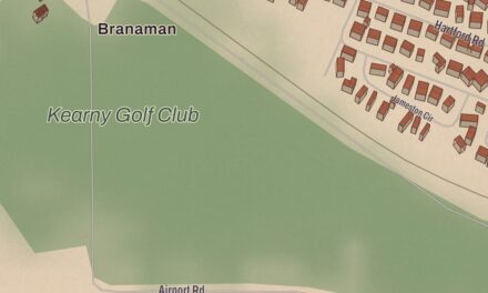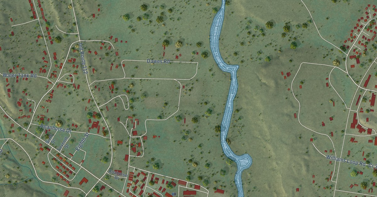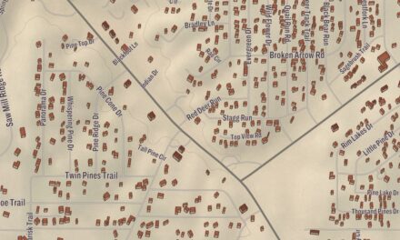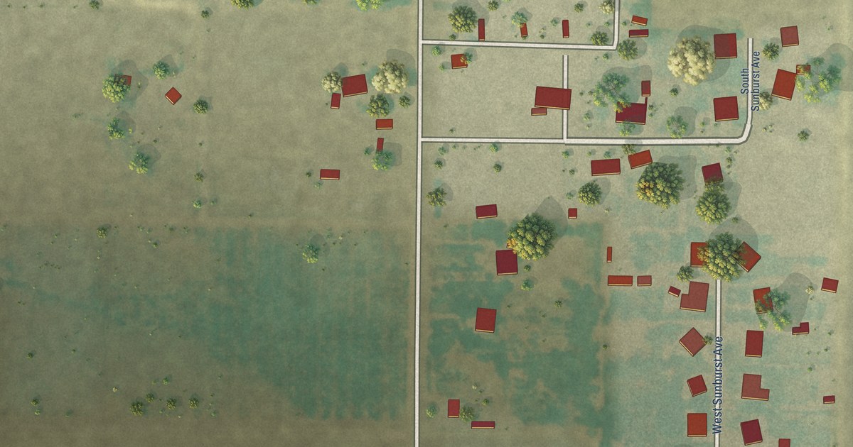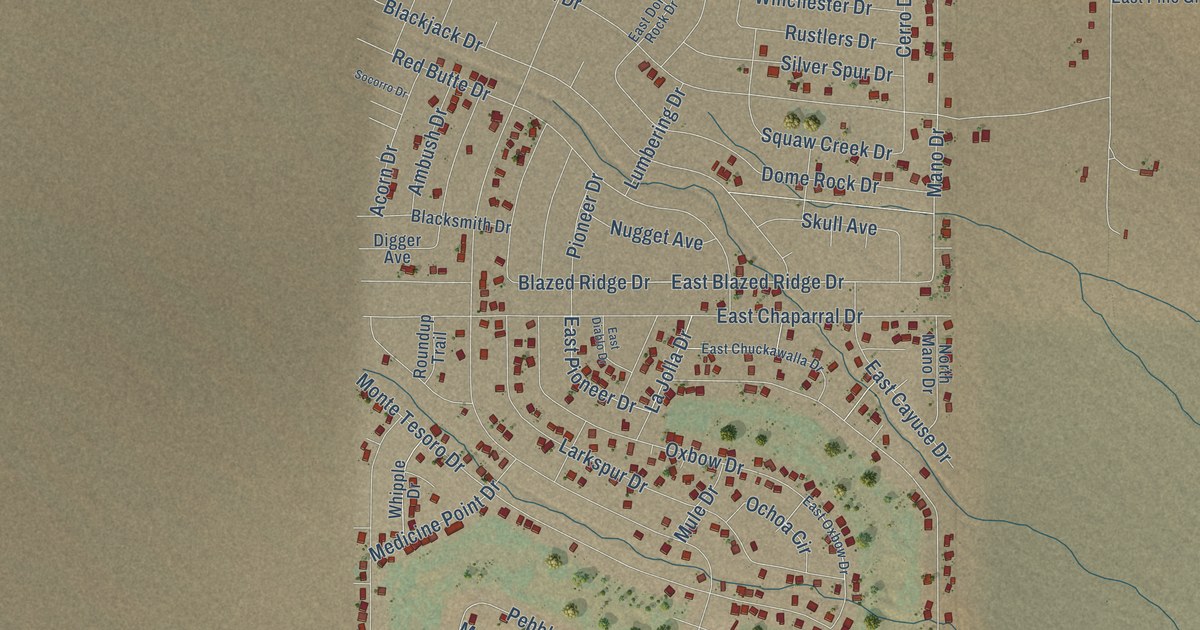
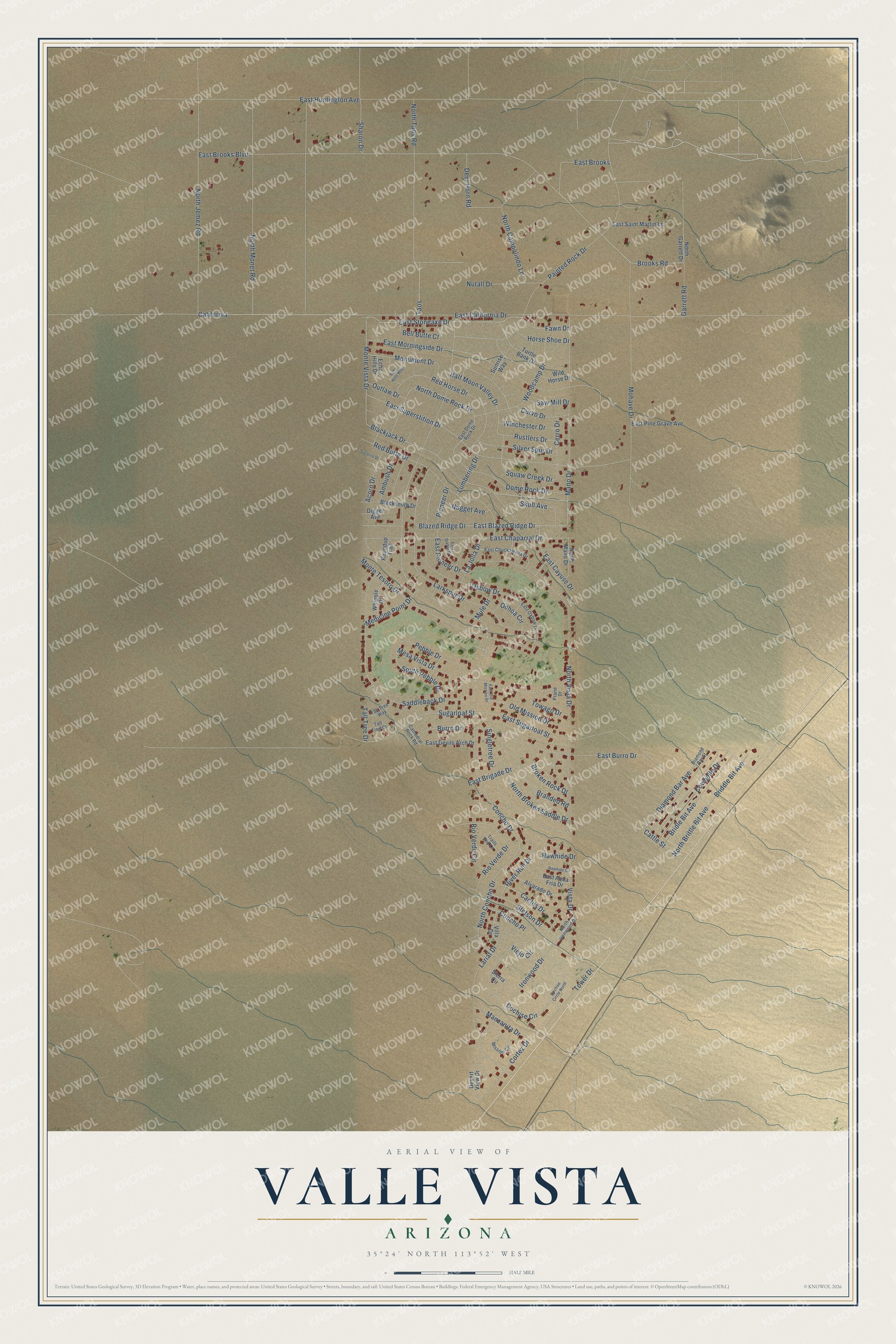
This beautifully detailed map of Valle Vista, Arizona was created in 2026 using aerial imagery combined with modern topographical, census, street and landmark data. It’s a one-of-a-kind view of Valle Vista that combines accurate data with a vintage aesthetic. The map shows every building in its true location, many of the roads carry their names, and the shaded topographic relief shows the shape of the land.
Explore an aerial view of Valle Vista, Arizona
On the map you’ll find California, along with North Brittle Bit Avenue, Cattle Street, Briddle Bit Avenue, Bridle Bit Avenue, Diamond Bar Avenue, North Dome Rock Drive, La Jolla Drive, East Brooks Boulevard, Mano Drive, Pebble Drive, Tower Drive, and more. Valle Vista sits about 3 miles west of Antares, 9 miles northwest of Hackberry and 12 miles west of Valentine. If you look closely you can even find your house accurately drawn in its correct location. Zoom in on the preview to look for yours.
Take a closer look at the Valle Vista map
Names on this map
These names are printed on this map.
Streets and roads: North Brittle Bit Avenue, Cattle Street, Briddle Bit Avenue, Bridle Bit Avenue, Diamond Bar Avenue, North Dome Rock Drive, La Jolla Drive, East Brooks Boulevard, Mano Drive, California, Pebble Drive, Tower Drive.
More street names, A to Z
Acorn Drive, Alvarado Drive, Ambush Drive, Bell Butte Court, Blackjack Drive, Blacksmith Drive, Blazed Ridge Drive, Branded Road, Broken Rock Drive, Brooks Road, Burro Drive, Cactus Drive, Cathedral Rock Road, Cerro Drive, Cochise Circle, Cochise Circle North, Concho Drive, Concho Place, Cortez Drive, Cowbelle Drive, Curvo Drive, Deer Horn Road, Desert View Drive, Diamond Bar Street, Digger Avenue, Dome Rock Drive, East Aqua Fria Drive, East Blazed Ridge Drive, East Brigade Drive, East Brooks, East Burro Drive, East California Drive, East Cayuse Drive, East Chaparral Drive, East Chuckawalla Drive, East Devils Arch Drive, East Diablo Drive, East Dome Rock Drive, East Huntington Avenue, East Morningside Drive, East Old Mission Drive, East Oxbow Drive, East Pine Grave Avenue, East Pioneer Drive, East Saint Martin Lane, East Stoneaxe Drive, East Sugarloaf Street, East Superstition Drive, Echo Hills Drive, Echo Hills Way, Fawn Drive, Garrett Road, Half Moon Valley Drive, Horse Shoe Drive, Ironwood Drive, Lariat Drive, Larkspur Drive, Lumbering Drive, Manzanita Drive, Medicine Point Drive, Mesa Vista Drive, Mission Circle, Mohave Drive, Monte Tesoro Drive, Monte Vista Drive, Monument Drive, Mule Drive, North Broken Saddle Drive, North Campolindo Lane, North Concho Drive, North Garrett Drive, North Ironwood Drive, North Jemez Road, North Mano Drive, North Monet Road, North Taos Road, North Vista Drive, Nugget Avenue, Nutall Drive, Ochoa Circle, Old Mission Drive, Outlaw Drive, Oxbow Drive, Painted Rock Drive, Pioneer Drive, Prarie Drive, Rawhide Circle, Rawhide Drive, Red Butte Drive, Red Horse Drive, Rio Verde Circle, Rio Verde Drive, River Run Drive, Roundup Trail, Rustlers Drive, Saddleback Drive, Saw Mill Drive, Sharon Drive, Sierra Circle, Silver Spur Drive, Singletree Drive, Skull Avenue, Socorro Drive, South Pebble Drive, Stetson Drive, Sugarloaf Street, Sunrise Way, Tall Tree Court, Tall Tree Drive, Tall Tree Way, Taos, Towago Drive, Trails End Lane, Turtle Bank Drive, Viejo Circle, Villa Drive, Vista Drive, Whipple Drive, Wild Horse Drive, Winchester Drive, Woodcamp Drive.
See it on a wall
The Valle Vista map as a framed print. Swipe for more.


This beautifully detailed map of Valle Vista makes an attractive addition to your office, library, or den, and it can even be used to teach children the geography and history of the area. It also makes a great gift for anyone with Valle Vista roots. When you’re done exploring, click here to get your copy of the Valle Vista map.