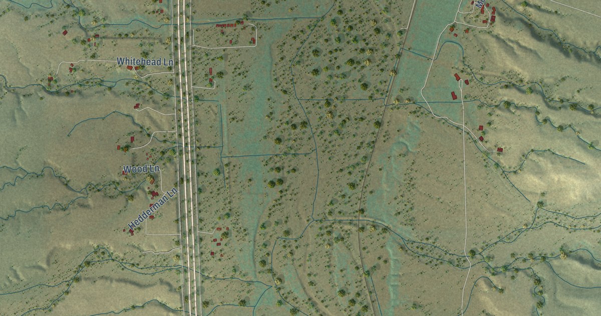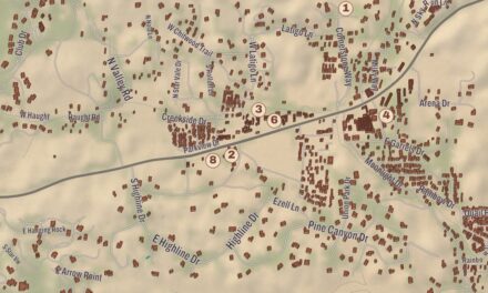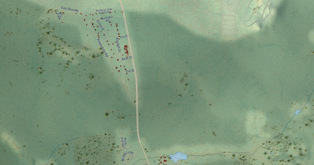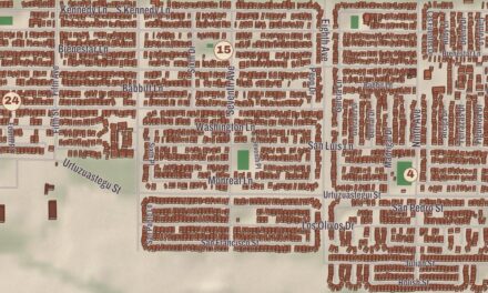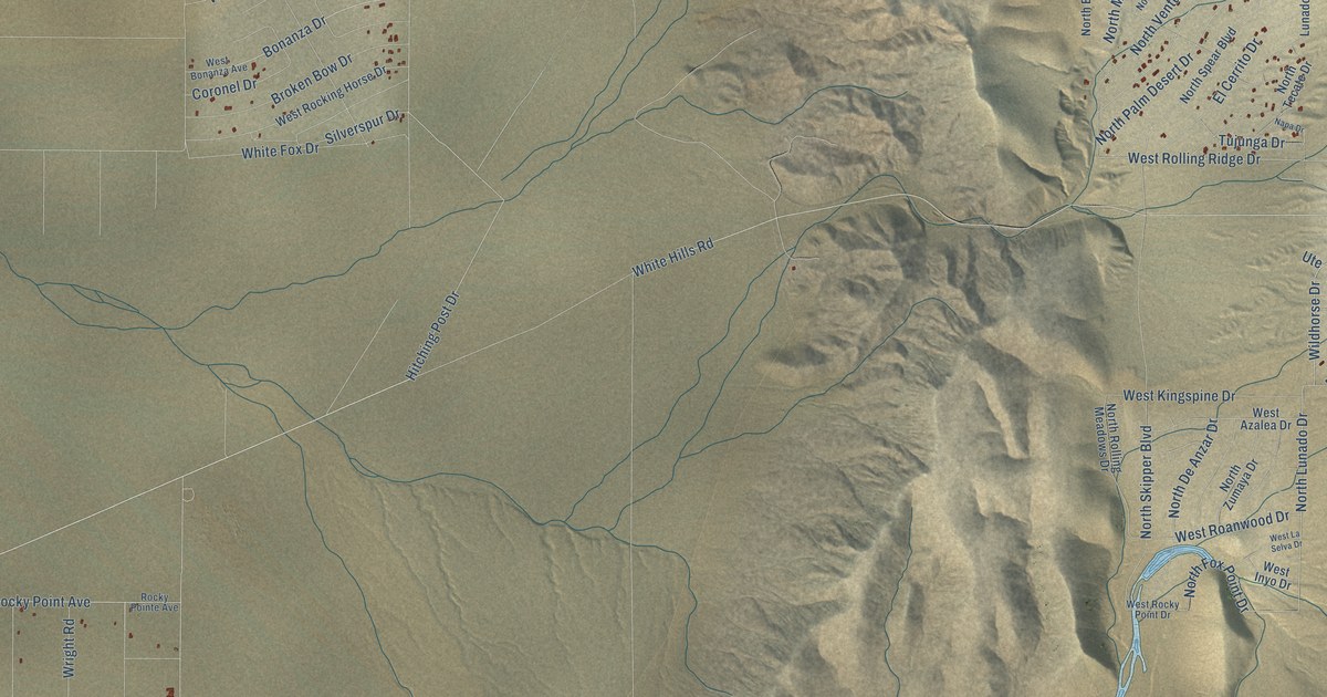
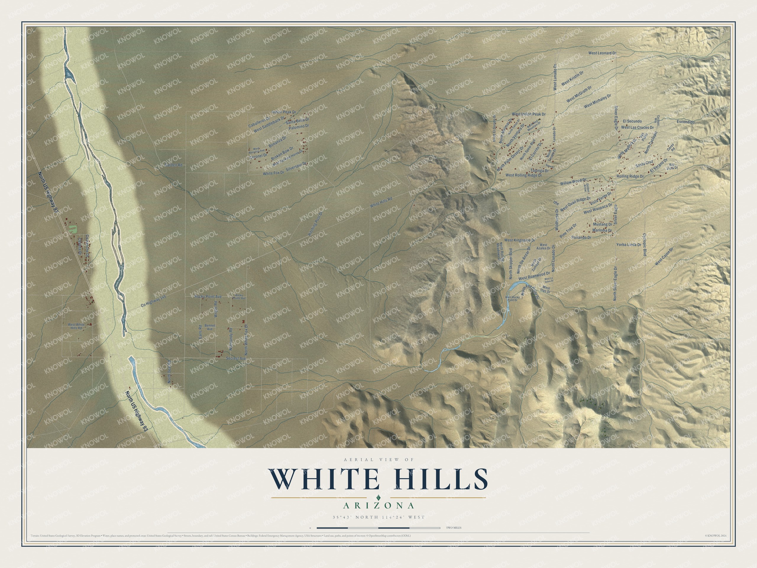
This beautifully detailed map of White Hills, Arizona was created in 2026 using aerial imagery combined with modern topographical, census, street and landmark data. It’s a one-of-a-kind view of White Hills that combines accurate data with a vintage aesthetic. The map shows every building in its true location, many of the roads carry their names, and the shaded topographic relief shows the shape of the land.
Explore an aerial view of White Hills, Arizona
On the map you’ll find North US Highway 93, Secrest Avenue, Garden Road, Vista Verde Drive, White Hills Road, Rolling Ridge Drive, Wildhorse Drive, Rocky Point Avenue, North White Fox Drive, North Lunado Drive, Silver Eagle Drive, Cyclopic Boulevard, and more. White Hills sits about 11 miles northwest of Dolan Springs, 24 miles southwest of Meadview and 25 miles northwest of Chloride. If you look closely you can even find your house accurately drawn in its correct location. Zoom in on the preview to look for yours.
Take a closer look at the White Hills map
Names on this map
These names are printed on this map.
Streets and roads: North US Highway 93, Secrest Avenue, Garden Road, Vista Verde Drive, White Hills Road, Rolling Ridge Drive, Wildhorse Drive, Rocky Point Avenue, North White Fox Drive, North Lunado Drive, Silver Eagle Drive, Cyclopic Boulevard.
More street names, A to Z
Bennet Avenue, Bonanza Drive, Broken Bow Drive, Caballeros Drive, Ceres Road, Cessna Drive, Comanche Drive, Coronel Drive, County Highway 145, Cyclopic Way, Earls Road, El Cerrito Drive, El Secundo, El Verano Drive, Escondido, Golden Arrow, Hitching Post Drive, Indian Peak Drive, Lunado Drive, Marloma Drive, Mustang Drive, Napa Drive, Normandy Road, North Cyclopic, North Deal Road, North De Anzar Drive, North El Dorado Drive, North Fox Point Drive, North Madera Drive, North Mirimar Drive, North Palm Desert Drive, North Red Mountain Drive, North Rolling Meadows Drive, North Silver Eagle Drive, North Skipper Boulevard, North Spear Boulevard, North Tahoe Drive, North Tecate Drive, North Ventura Drive, North Zumaya Drive, Palomino Drive, Pine Tree Drive, Rio Vista Drive, Rocky Pointe Avenue, Rollando Drive, San Pablo, Santa Bella Drive, Santa Cruz, Silver Eagle, Silverspur Drive, Tujunga Drive, Ute, West Azalea Drive, West Bonanza Avenue, West Cajon Drive, West Indian Peak Drive, West Inyo Drive, West Kingspine Drive, West Kristin Drive, West Las Cruces Drive, West La Selva Drive, West Leonard Drive, West Lunado Drive, West McGrath Drive, West Michaley Drive, West Quail Ridge Drive, West Roanwood Drive, West Rocking Horse Drive, West Rocky Point Drive, West Rolling Ridge Drive, West Saddleback Drive, West Waupaca Drive, West White Hills Road, White Fox Drive, Willow Wood Drive, Wright Road, Yorba Linda Drive.
See it on a wall
The White Hills map as a framed print. Swipe for more.


This beautifully detailed map of White Hills makes an attractive addition to your office, library, or den, and it can even be used to teach children the geography and history of the area. It also makes a great gift for someone who left White Hills and still calls it home. When you’re done exploring, click here to get your copy of the White Hills map.