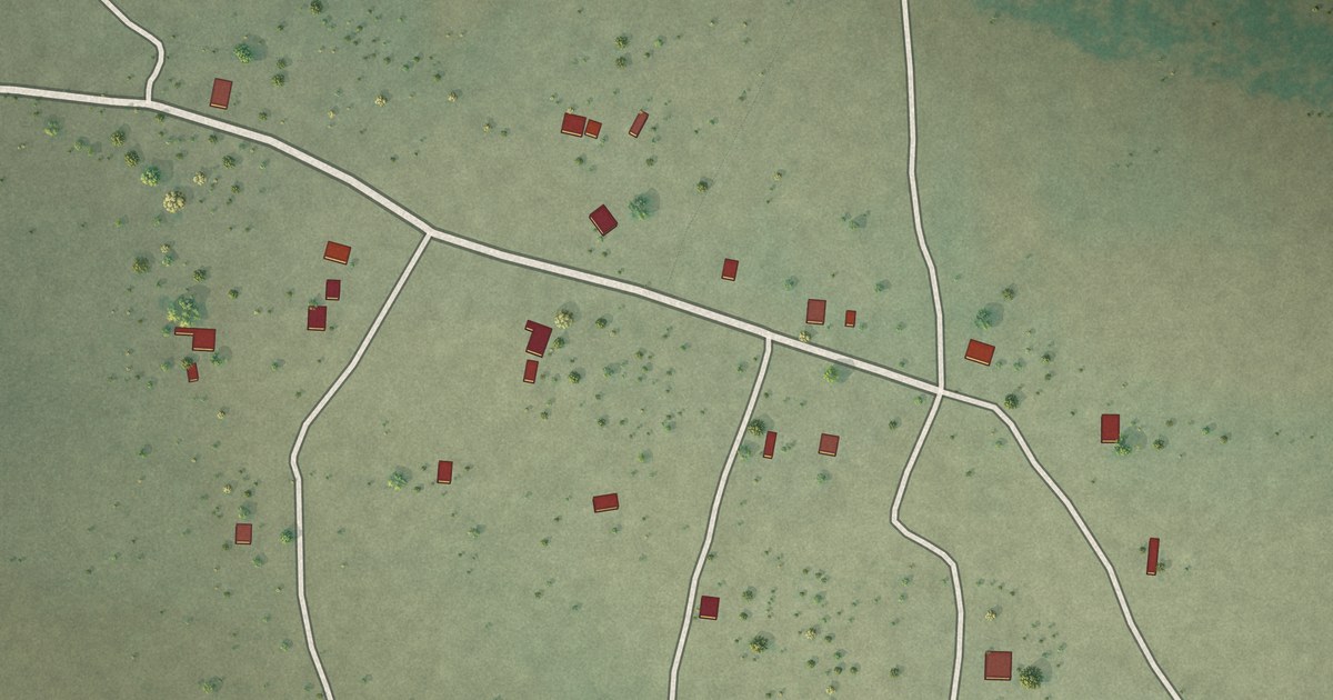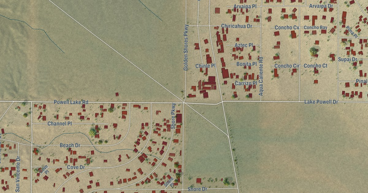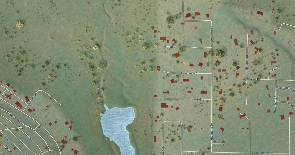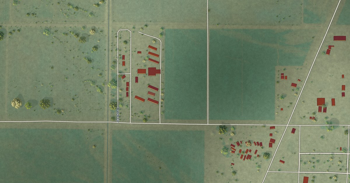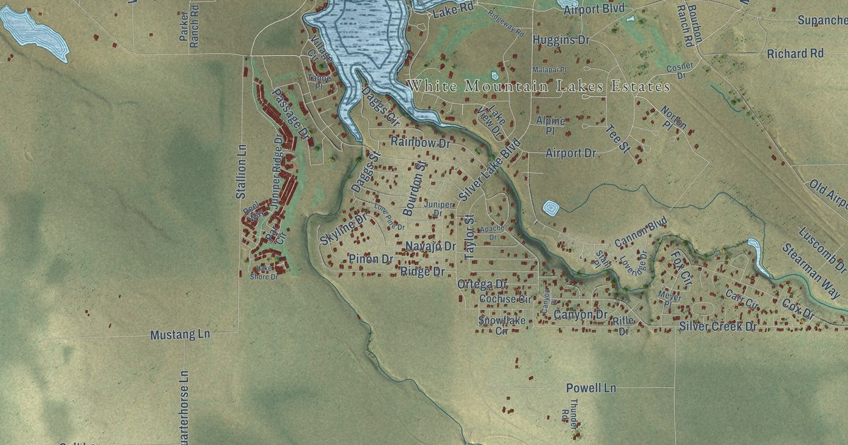
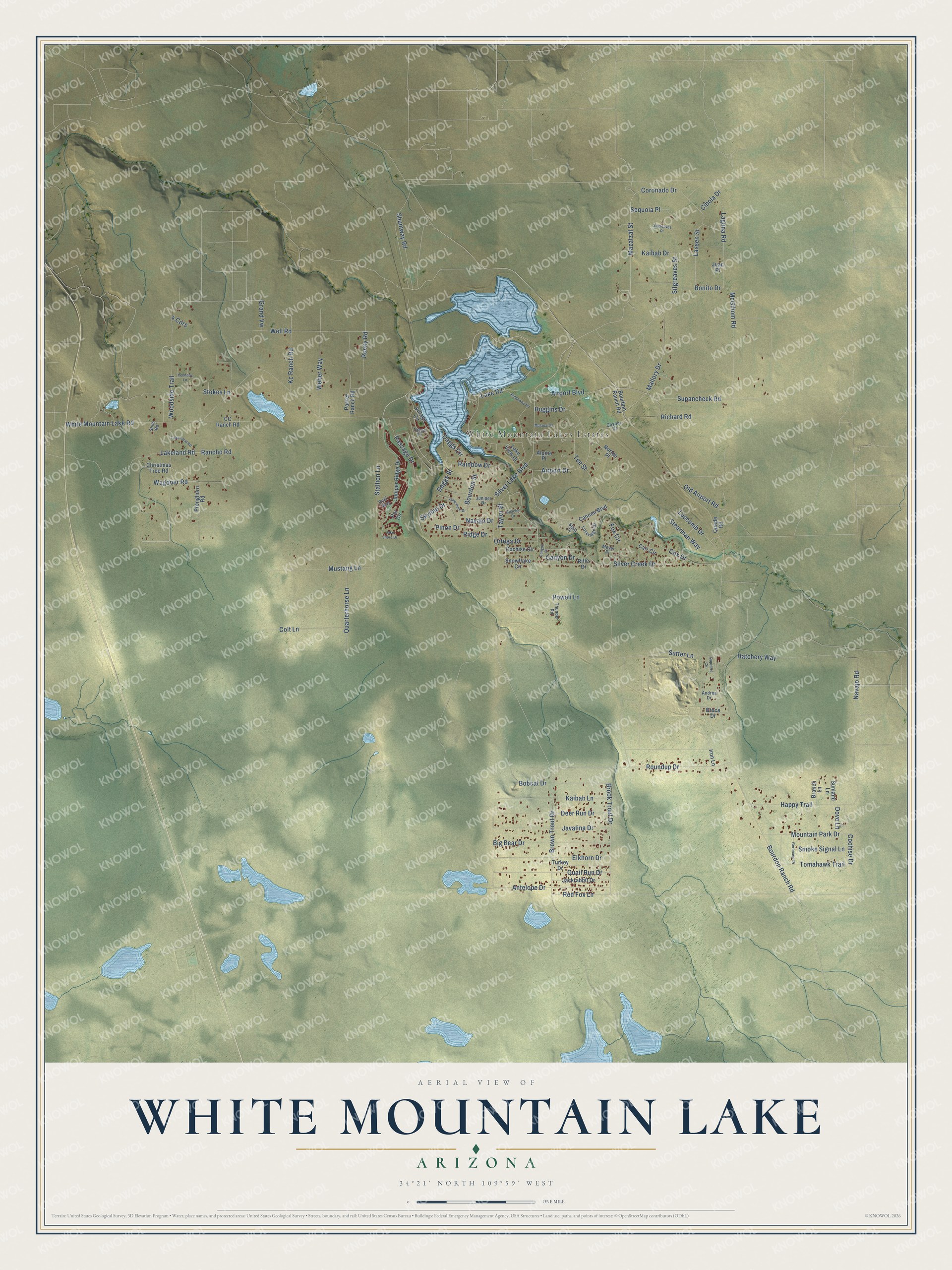
This beautifully detailed map of White Mountain Lake, Arizona was created in 2026 using aerial imagery combined with modern topographical, census, street and landmark data. It’s a one-of-a-kind view of White Mountain Lake that combines accurate data with a vintage aesthetic. The map shows every building in its true location, many of the roads carry their names, and the shaded topographic relief shows the shape of the land.
Explore an aerial view of White Mountain Lake, Arizona
On the map you’ll find White Mountain Lakes Estates, along with White Mountain Lake Road, Lake Road, Red Fox Lane, Brown Trout Drive, Mallory Drive, Silver Lake Boulevard, Mazatzal Street, Brook Trout Drive, Airport Drive, Silver Creek Drive, Airport Boulevard, and more. White Mountain Lake sits about 6 miles northeast of Show Low, 7 miles southeast of Shumway and 9 miles southeast of Taylor. If you look closely you can even find your house accurately drawn in its correct location. Zoom in on the preview to look for yours.
Take a closer look at the White Mountain Lake map
Names on this map
These names are printed on this map.
Places: White Mountain Lakes Estates.
Streets and roads: White Mountain Lake Road, Lake Road, Red Fox Lane, Brown Trout Drive, Mallory Drive, Silver Lake Boulevard, Mazatzal Street, Brook Trout Drive, Airport Drive, Silver Creek Drive, Airport Boulevard, Bourdon Ranch Road.
More street names, A to Z
4 Cors, Alpine Place, Andrea Drive, Antelope Drive, Apache Drive, Big Bear Drive, Bobcat Drive, Bonito Drive, Bourbon Ranch Road, Bourdon Street, Branch Lane, Bruce Drive, Cannon Boulevard, Canyon Drive, Canyon Place, Carr Circle, CC Ranch Road, Christmas Tree Road, Cibola Drive, Cochise Circle, Cochise Drive, Colt Lane, Coronado Drive, Cosner Drive, Cox Drive, Daggs Circle, Daggs Street, Deer Run Drive, Dove Lane, Dupierre Circle, Elkhorn Drive, Fox Circle, Geronimo Drive, Grand Vw, Happy Trail, Hatchery Way, Huggins Drive, Iron Lane, Jackrabbit Drive, Javalina Drive, Juan Place, Juniper Drive, Juniper Ridge Drive, Kaibab Drive, Kaibab Lane, Kc Ranch Road, Kennedy Lane, Laguna Road, Lakeland Road, Lake Land Road, Lake Shore Drive, Lake View Drive, Lassen Street, Lone Pine Drive, Loveridge Drive, Luscomb Drive, Malapai Place, McGihom Road, Meyer Place, Mountain Park Drive, Mustang Lane, Navajo Drive, Navajo Road, Norton Place, Old Airport Road, Ortega Drive, Par Circle, Parker Ranch Road, Passage Drive, Pinon Drive, Powell Lane, Pronghorn Road, Quade Road, Quail Run Drive, Quarterhorse Lane, Rainbow Drive, Rancho Road, Reel Way, Richard Road, Ridge Drive, Ridgeway Road, Rifle Drive, Rocky Road, Roundup Drive, Sequoia Place, Shilo Road, Shumway Road, Sitgreaves Place, Sitgreaves Street, Skyline Drive, Smoke Signal Lane, Snowflake Circle, Stahl Place, Stallion Lane, Stearman Way, Stokes Lane, Sunland Lane, Supancheck Road, Sutter Lane, Tahoe Place, Taylor Street, Tee Street, Thunder Road, Tomahawk Trail, Turkey Drive, Village Circle, Wagoner Road, Weber Way, Well Road, Woodside Trail.
See it on a wall
The White Mountain Lake map as a framed print. Swipe for more.


This beautifully detailed map of White Mountain Lake makes an attractive addition to your office, library, or den, and it can even be used to teach children the geography and history of the area. It also makes a great gift for someone who left White Mountain Lake and still calls it home. When you’re done exploring, click here to get your copy of the White Mountain Lake map.