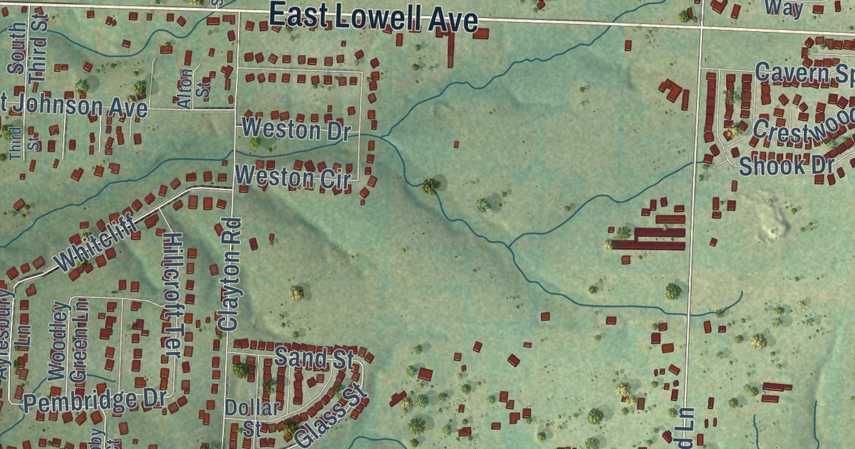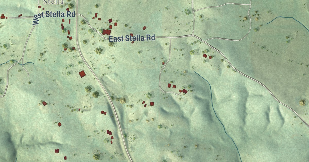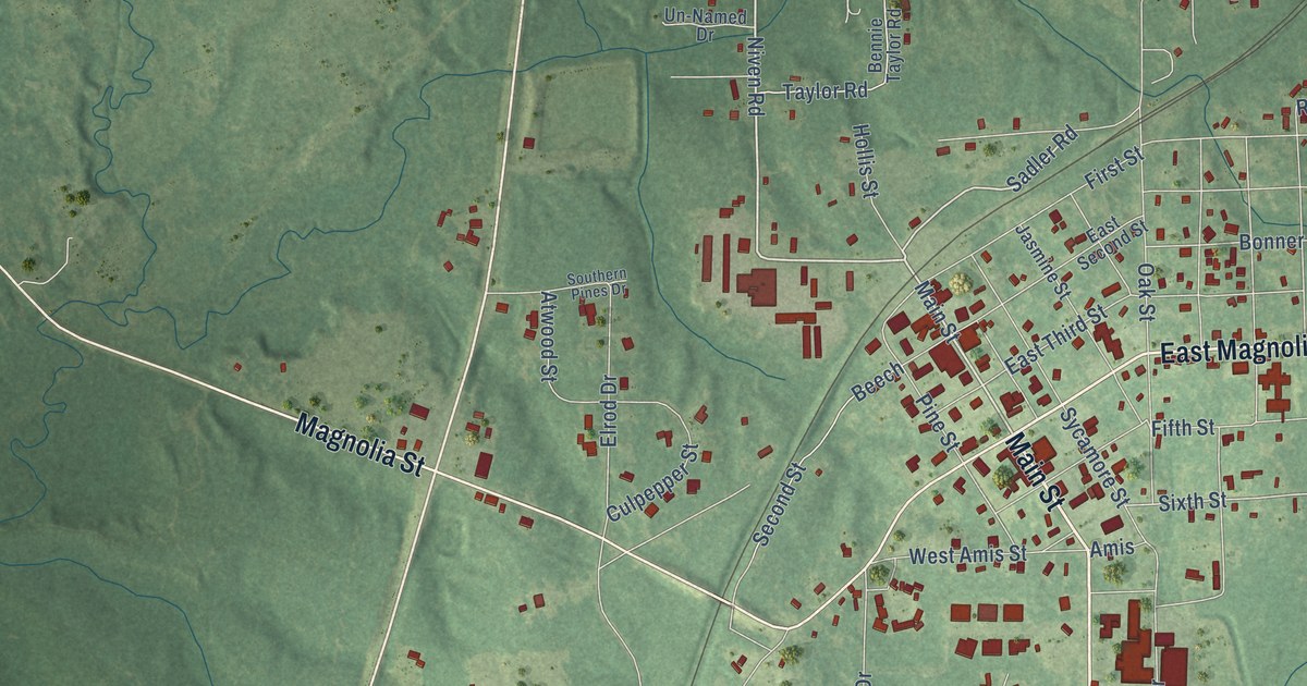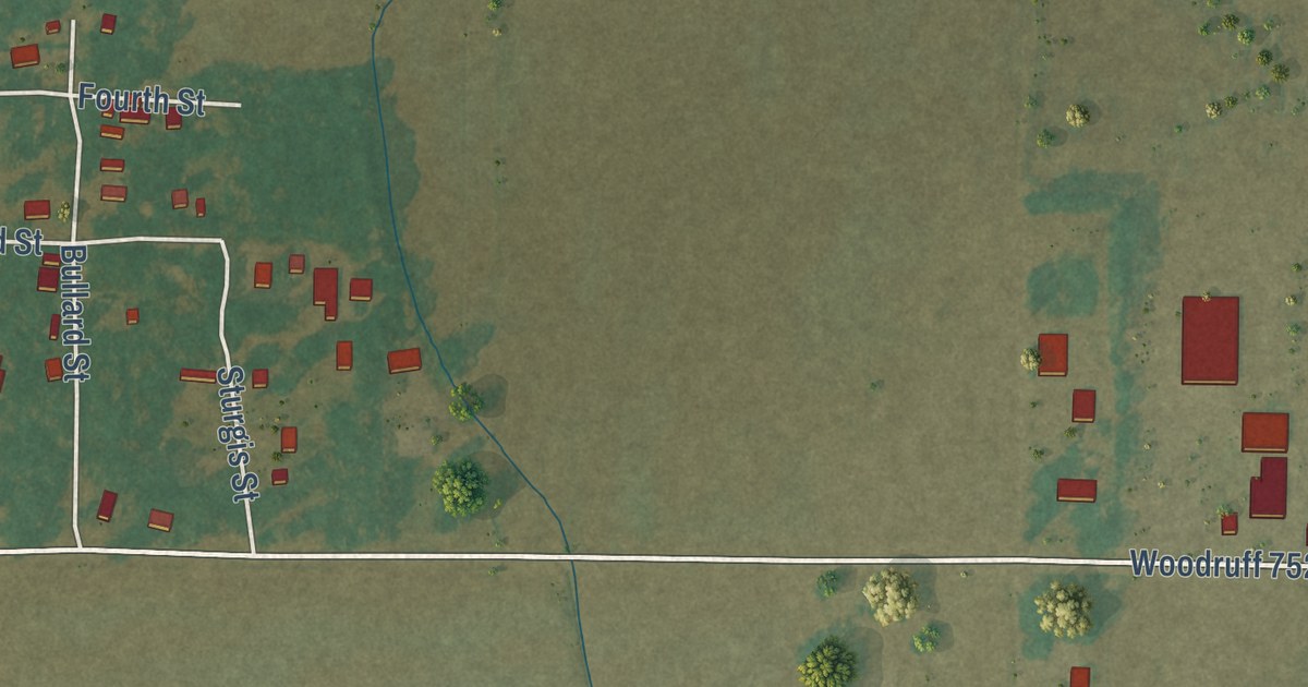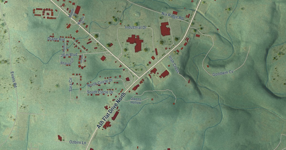
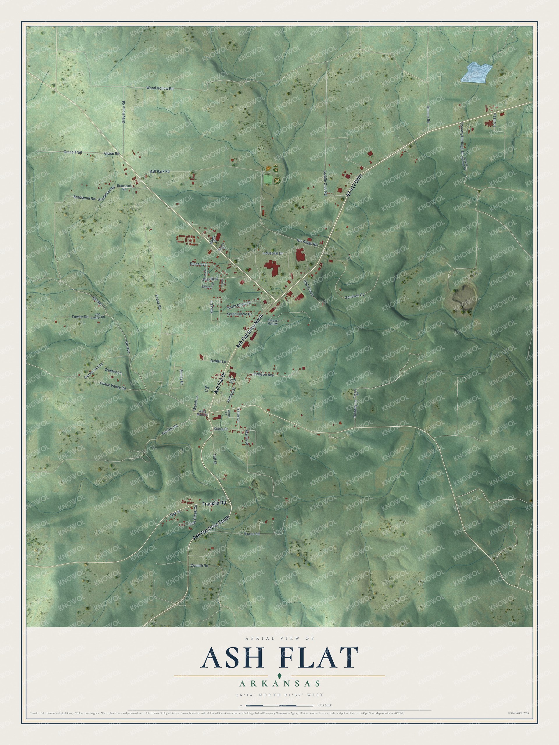
This beautifully detailed map of Ash Flat, Arkansas was created in 2026 using aerial imagery combined with modern topographical, census, street and landmark data. It’s a one-of-a-kind view of Ash Flat that combines accurate data with a vintage aesthetic. The map shows every building in its true location, many of the roads carry their names, and the shaded topographic relief shows the shape of the land.
Explore an aerial view of Ash Flat, Arkansas
On the map you’ll find 62-412 Ushy, along with Ash Flat Drive, Franklin Road, Branscom Road, Johnson Avenue, Branscum Road, South Circle Drive, Saddle Club Road, Peace Valley Road, Evans Road, Orr Avenue, Orr Road, and more. If you look closely you can even find your house accurately drawn in its correct location. Zoom in on the preview to look for yours.
Did you know this piece of Ash Flat, Arkansas history?
From the CALS Encyclopedia of Arkansas: "The community emerged as an important agricultural trading center, and in 1856, the town of Ash Flat was founded when a U.S. post office was built. A group of local residents, led by postmaster James McCord, chose the name Ash Flat because of a nearby grove of ash trees."
Ash Flat is a city in Sharp County.
Take a closer look at the Ash Flat map
Street names on the Ash Flat, Arkansas map
These names are printed on the map of Ash Flat, Arkansas.
Streets and roads: Ash Flat Drive South, Ash Flat Drive North, Ash Flat Drive, Franklin Road, 62-412 Ushy, Branscom Road, Johnson Avenue, Branscum Road, South Circle Drive, Saddle Club Road, Peace Valley Road, Evans Road.
More street names, A to Z
Arnhart Street, Ball Park Road, Branseum Road, Corinth Road, Country Heritage Drive, Country Heritage Road, Court Road, Diane Avenue, Doherty Lane, Doherty Road, Estes Lane, Farris Road, Fowler Road, Garner Hill Road, Gin Hill Road, Goodwin Cv, Grace Road, Grace Trail, Greystone Road, Industrial Drive, Irish Cross, J&m Boulevard, Joe Fowler Road, Kenner Road, Little Creek Circle, Madolyn Street, Maple Drive, Martin Lane, Martin Street, Murphy Drive, Nix Lane, Nix Ridge Road, North Circle Drive, Oak Street, Orr Avenue, Orr Road, Owens Hollow, Ozbirn Lane, Sara Circle, Sharon Circle, Sharp Street, Sisney Drive, Tenants Cv, Trivitt Lane, Tuff Street, Watson Lane, Welch Lane, West Main Street, Wood Hollow Road.
See the Ash Flat, Arkansas map on a wall
The Ash Flat map as an 18 x 24 inch print in a black frame.

This beautifully detailed map of Ash Flat makes an attractive addition to your office, library, or den, and it can even be used to teach children the geography and history of the area. It also makes a great gift for someone who left Ash Flat and still calls it home. When you’re done exploring, click here to get your copy of the Ash Flat map.