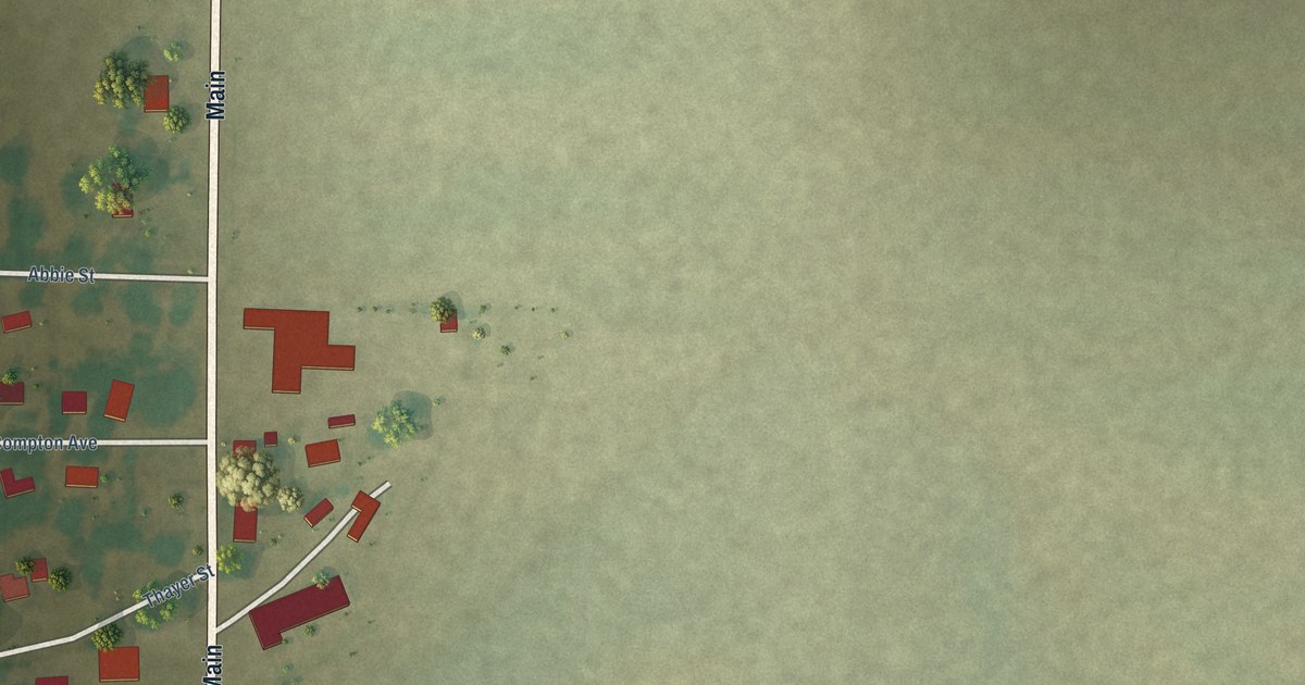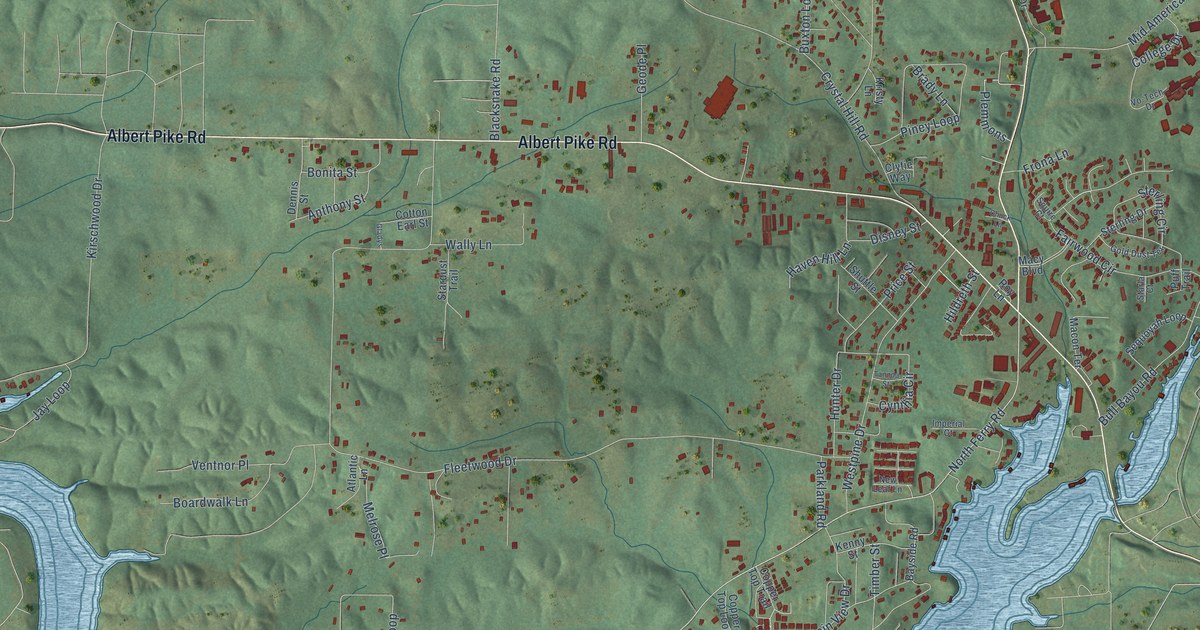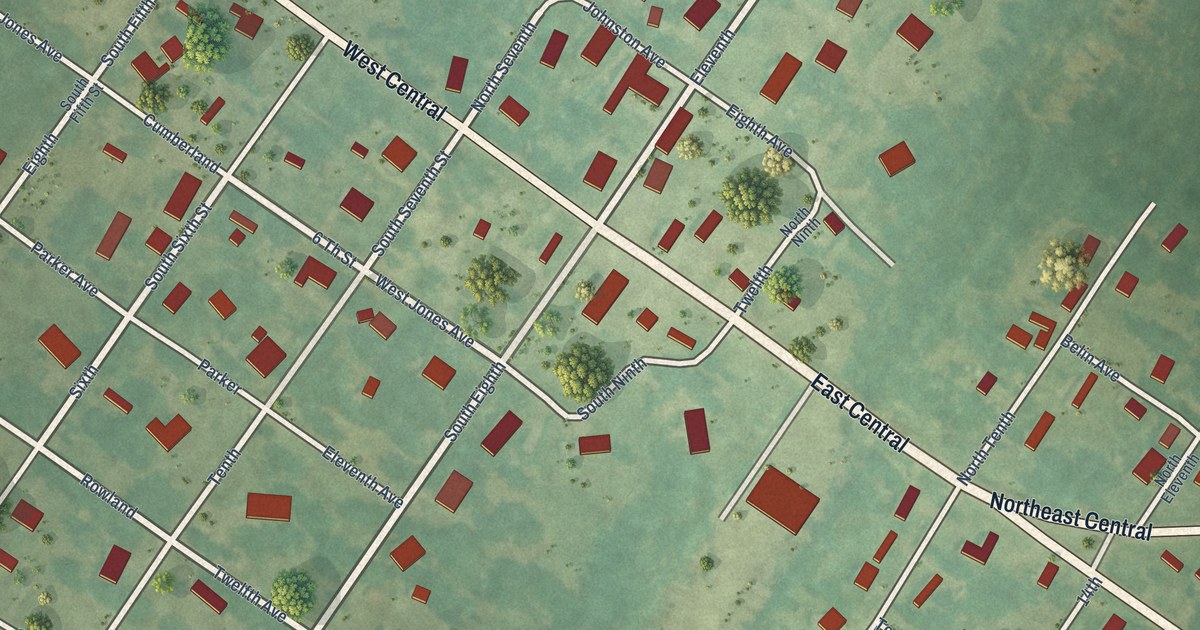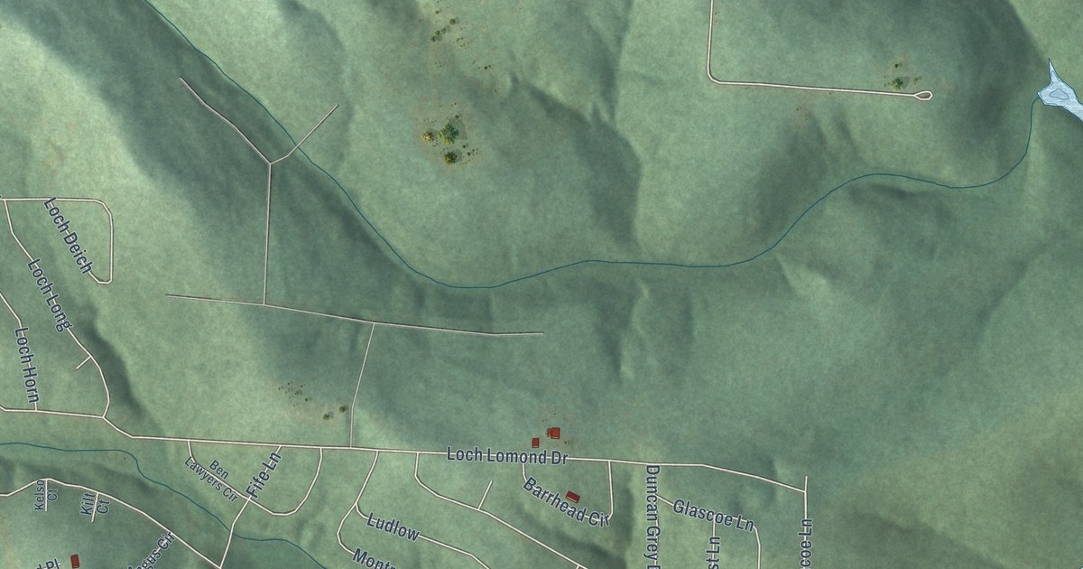
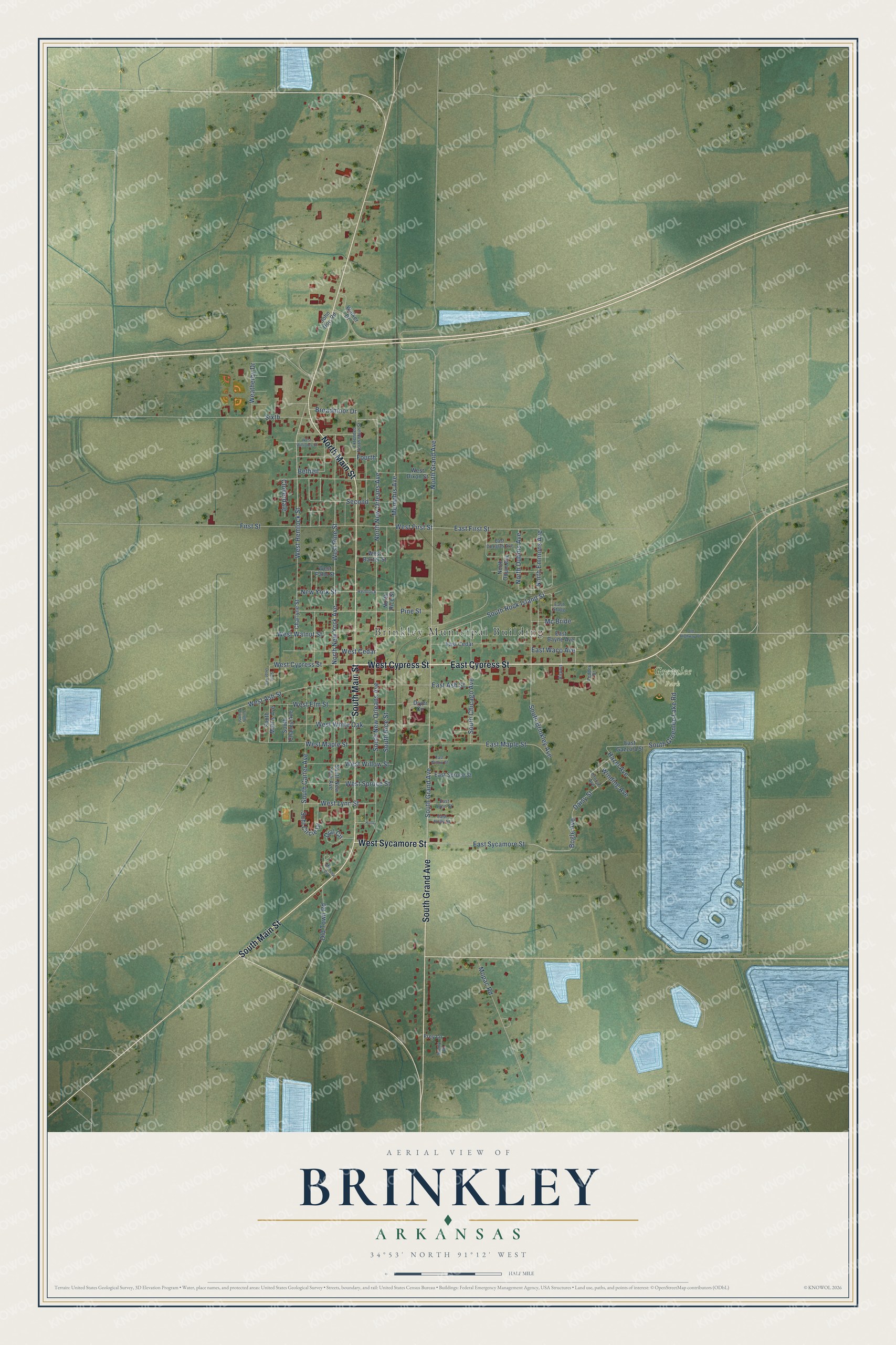
This beautifully detailed map of Brinkley, Arkansas was created in 2026 using aerial imagery combined with modern topographical, census, street and landmark data. It's a modern aerial view of Brinkley in Monroe County, Arkansas, that combines modern data with a vintage aesthetic. The roads feature printed names, and if you look closely you can find your exact house accurately shown in its correct location.
Explore an aerial view of Brinkley, Arkansas
On this map you'll find Brinkley Municipal Building, Greenlee Park, East Cypress Street, West Cypress Street, West Sycamore Street, North Main Street, South Main Street, South Grand Avenue, Pine Street, North Grand Avenue, West Pine Street, East Sycamore Street, and more. Each red shape is a building, so zoom in on the preview and look for yours.
Brinkley has a story worth telling. The CALS Encyclopedia of Arkansas puts it this way: "Brinkley’s first store was the M. B. Park Company, operated by Mathew B. Park and Hilliard A. Carter, formerly merchants from Clarendon. Sam Hoskins was the first mayor, and the Reverend Thomas H. Howard preached the first sermon and organized the Methodist church, both in 1870."
Brinkley is a city in Monroe County.
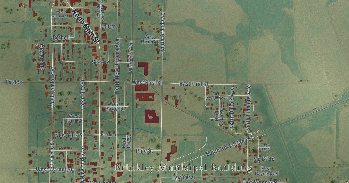
Take a closer look at the Brinkley map
Names on this map
These names are printed on this map.
Places: Brinkley Municipal Building, Greenlee Park and Airport.
Streets and roads: East Cypress Street, West Cypress Street, West Sycamore Street, North Main Street, South Main Street, South Grand Avenue, Pine Street, North Grand Avenue, West Pine Street, East Sycamore Street, West Hemlock Street, Bogle Avenue.
More street names, A to Z
Bethell, Broadmoor Drive, Charlyne Street, Cloverdale, Crocus Avenue, Daisy Street, Dial Circle, Dryer Circle, East Ash Street, East Bayne Avenue, East Cedar, East Douglas Avenue, East First Street, East Gazzola Street, East Holly Street, East Lynn Street, East Maple Street, East Spruce Street, East Stagg, East Waco Avenue, East Willow Street, Extended North Main Street, Fedder Drive, First Street, Fourth, Frey Lane, Hazel Avenue, Hemlock, Holly, John Doe Road, Mc Bride, Memphis Avenue, Mimosa Circle, Mopac Road, New York Street, North Dubois Avenue, North Emmons Avenue, North New Orleans Avenue, North New York Avenue, North Odum Avenue, North Rice Street, Old Highway 70, Old Town Road, Saint Dept Avenue, Schl Circle Drive, Second, Sixth, South Brinkley Avenue, South Carter Avenue, South Chaney Avenue, South Chicago Avenue, South Greenlee Lake Road, South Morris Avenue, South New Orleans Avenue, South New York Avenue, South Rice Street, South Rock Island Street, South Wall Street, Sunny Drive, Walker Drive, Weatherby Drive, West Ash Street, West Baxter Street, West Cedar, West Dixon Street, West Elm Street, West First Street, West Lynn Street, West Maple Street, West Palm Street, West Spruce Street, West Walnut Street, West White Oak, West Williams Street, West Willow Street, Winding Avenue.
Created by KNOWOL in 2026. The buildings are small red shapes, the roads carry their printed names, and shaded relief shows the shape of the land. The title panel reads "AERIAL VIEW OF BRINKLEY ARKANSAS" with 34°53' NORTH 91°12' WEST.
It looks right in a kitchen, an office or a den, and it's a gift for anyone who grew up in Brinkley or moved away. Open the preview and find your street. See sizes and frames for the Brinkley map.