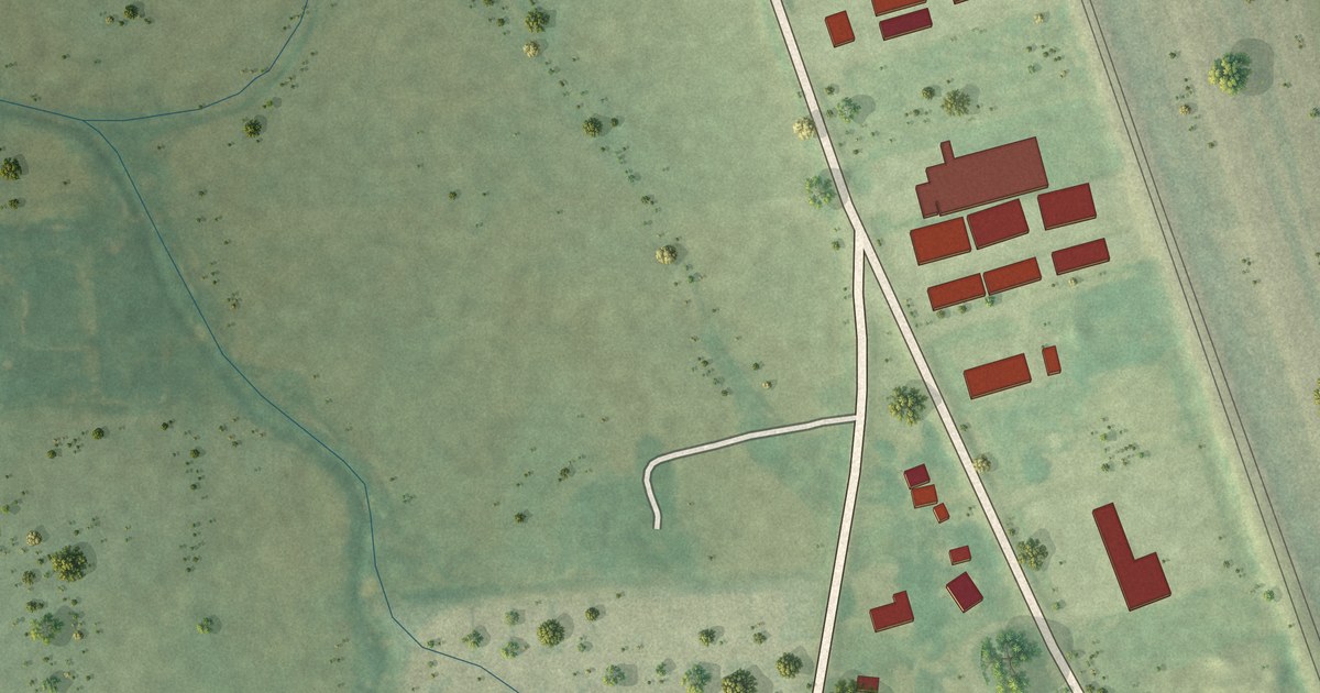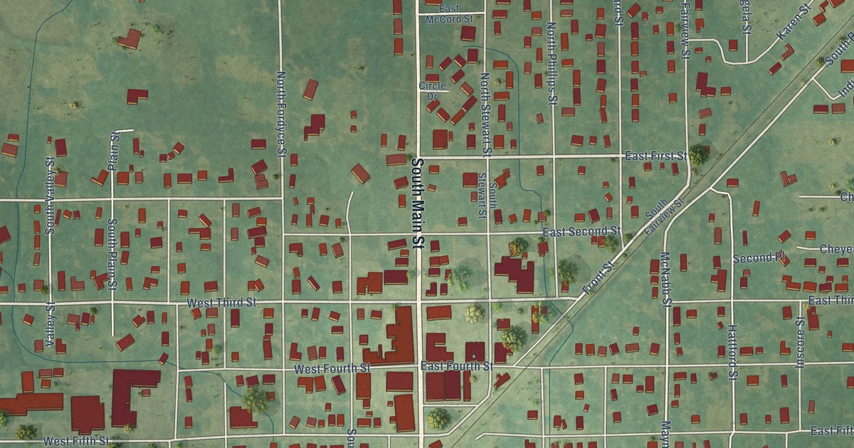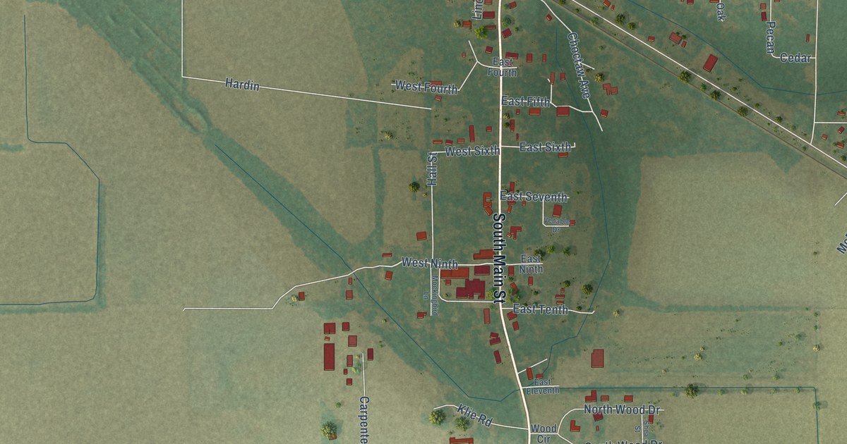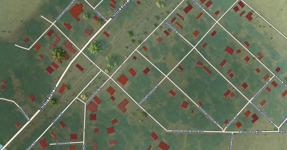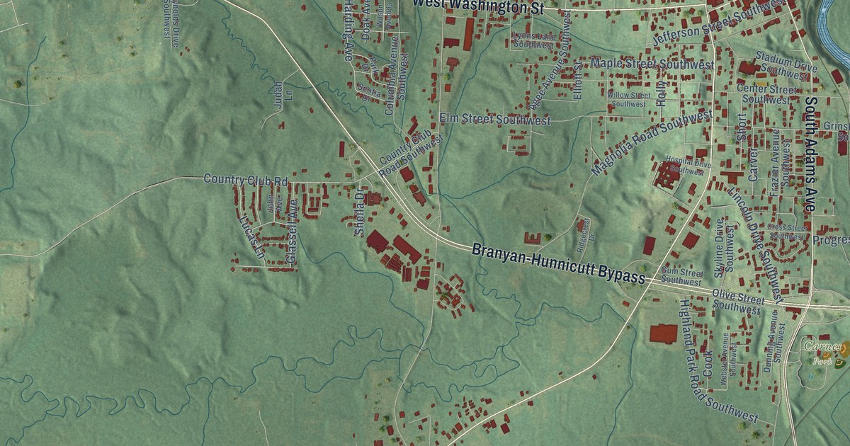
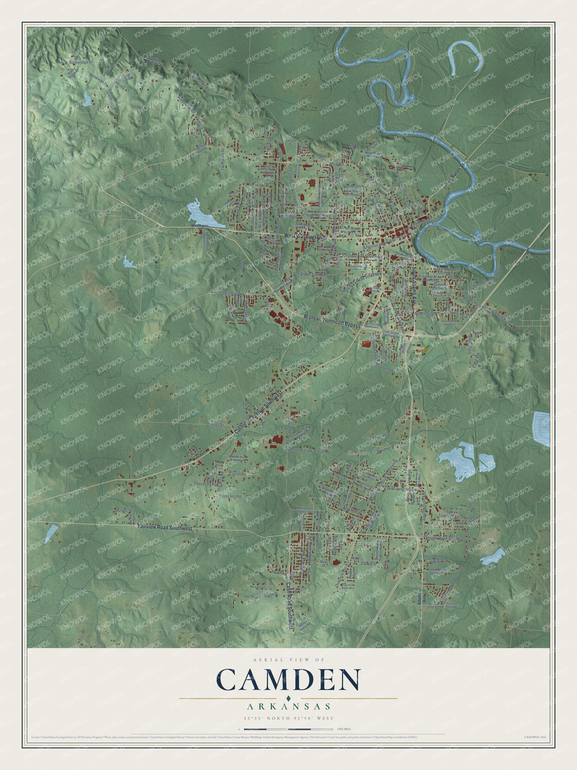
This beautifully detailed map of Camden, Arkansas was created in 2026 using aerial imagery combined with modern topographical, census, street and landmark data. It's a modern aerial view of Camden in Ouachita County, Arkansas, that combines modern data with a vintage aesthetic. The roads feature printed names, and if you look closely you can find your exact house accurately shown in its correct location.
Explore an aerial view of Camden, Arkansas
On this map you'll find Camden City Hall, Fairview, Cullendale, Herbert, Carnes Park, West Washington Street, California Avenue Southwest, Branyan-Hunnicutt Bypass, Van Buren Street, Cash Road Southwest, Fairview Road Southwest, South Adams Avenue, and more. Each red shape is a building, so zoom in on the preview and look for yours.
Camden has a story worth telling. The CALS Encyclopedia of Arkansas puts it this way: "Camden is the county seat of Ouachita County and is located in south-central Arkansas on the Gulf Coastal Plain, about fifty miles north of Louisiana. Since it began life as Ecore a Fabre, a French trading post, its history has been closely tied to the Ouachita River."
Camden is a city in Ouachita County.
Take a closer look at the Camden map
Names on this map
These names are printed on this map.
Places: Camden City Hall, Fairview, Cullendale, Herbert, Carnes Park and School Park.
Streets and roads: West Washington Street, California Avenue Southwest, Branyan-Hunnicutt Bypass, Van Buren Street, Cash Road Southwest, Fairview Road Southwest, South Adams Avenue, Maul Road, Maul Road Northwest, Adams Avenue, Ridgeview Road, Stoneridge Drive.
More street names, A to Z
Agee Avenue Northwest, Agee Avenue Southwest, Airline Drive Southwest, Apache Drive, Apple Avenue, Apple Avenue Southeast, Avon Avenue, Avon Street Southwest, Barrett Street, Bath Street, Beechwood, Belan Street, Ben Lane, Berg Avenue, Berg Avenue Northwest, Bess, Boulder Street, Bower Avenue, Bowie Avenue, Bradley Ferry Road, Bragg Street, Brookridge Drive, Bruce Avenue Northwest, Buchanan Street Southeast, Call Street, Camark Avenue Northwest, Camellia Drive, Carroll Road, Carter Street Southeast, Carver, Cash Road Northwest, Center Street Southwest, Chaffee Creek Trail Southwest, Cherokee Avenue, Cheyenne Road, Cidney Jane Drive, Club Road Southwest, Columbia Avenue Southwest, Connie Avenue, Cook, Country Club Road, Country Club Road Southwest, Crestwood Avenue Northwest, Cross Hill Road, Cross Street Southwest, Doak Avenue, Dogwood, Dunning Avenue Southwest, East Washington Street, Edgemere Drive, Elaine Avenue, Elliott Street, Elm Street Southwest, Evergreen, Fabre Circle, Fairview Road Southeast, Fearing Avenue Southwest, Field Avenue, Forest View Drive, Fort Avenue, Fort Lookout Acre, Frazier Avenue Southwest, Gibson Avenue, Glassell Avenue, Gordon Street Northwest, Graham Street Northwest, Grandview Drive, Gravel Pit Road, Grinstead Street Southeast, Gum Street Southwest, Harding Avenue, Helen Avenue Northwest, Highland Park Road Southwest, Hollow Hills Drive, Holly, Holly Hill Drive, Hooper Street, Hospital Drive Southwest, Huron, Jack Parr Street Southeast, Ja Dooley Womack Drive, Jeane Avenue Southwest, Jefferson Street Southwest, John Avenue, Judah Lane, Lakeside Avenue, Lakeside Avenue Northwest, Laramie Street, Laticana Drive, Lendale Street Southwest, Leslie Street, Lincoln Drive Southwest, Lou Avenue, Lucas Lane, Lyons Lane Southwest, Macon, Macy Avenue, Magnolia Road Southwest, Maple Street Southwest, Mary Street Northwest, McCullough Street Northwest, Milas Street, Mimosa Avenue Southwest, Missouri Road Southeast, Monroe Avenue Northeast, Monticello Street Southwest, Mount Holly Road, Mount Holly Road Southwest, North Street Southwest, Oakridge Drive, Old Wire Road, Olive Street Southwest, Omega Street, Opal Street, Osage Avenue Southwest, Ouachita Road 39, Ouachita Road 40, Ouachita Road 46, Ouachita Road 57, Ouachita Road 58, Ouachita Road 252, Ouachita Road 365, Ouachita Road 561, Oxford Street, Palisade Drive, Park Drive, Pearl Street Northwest, Pebbles Avenue Southwest, Penn Street, Peppertree Lane, Pierce Street, Pierce Street Southwest, Pine Street Southeast, Plum, Polk Avenue, Progress Street Southeast, Ratcliff Street Southeast, Redbud Avenue, Red Oak, Reynolds Drive Southwest, Rich, Ridge Avenue, Ridgecrest Drive, Rocky Ridge Drive, Rogers Street Northwest, Roseman Road, Sanders Street Southeast, Sax Avenue Northwest, Scotia Drive, Sharp Avenue, Sharp Avenue Northwest, Sheila Drive, Short, Shot Avenue, Skyline Drive Southwest, South Street Southwest, Spring Avenue Northwest, Stadium Drive Southwest, Stinson Avenue Southwest, Tate Street Southwest, Terminal Road Southeast, Texas Street Southeast, Timber Trail Southwest, Twin Oaks Drive, Vanderbilt Avenue, Vera Street, Vickie Street, Visor Avenue, Waco Street Southwest, Warren, Washington Street, Webster Avenue Southwest, Williams, Willow Street Southwest, Wilson Avenida, Winston Street, Woodcliff Drive, Woodcrest Road, Woodland Drive, Woodside Drive, Yuma.
Created by KNOWOL in 2026. The buildings are small red shapes, the roads carry their printed names, and shaded relief shows the shape of the land. The title panel reads "AERIAL VIEW OF CAMDEN ARKANSAS" with 33°35' NORTH 92°50' WEST.
It looks right in a kitchen, an office or a den, and it's a gift for anyone who grew up in Camden or moved away. Open the preview and find your street. See sizes and frames for the Camden map.