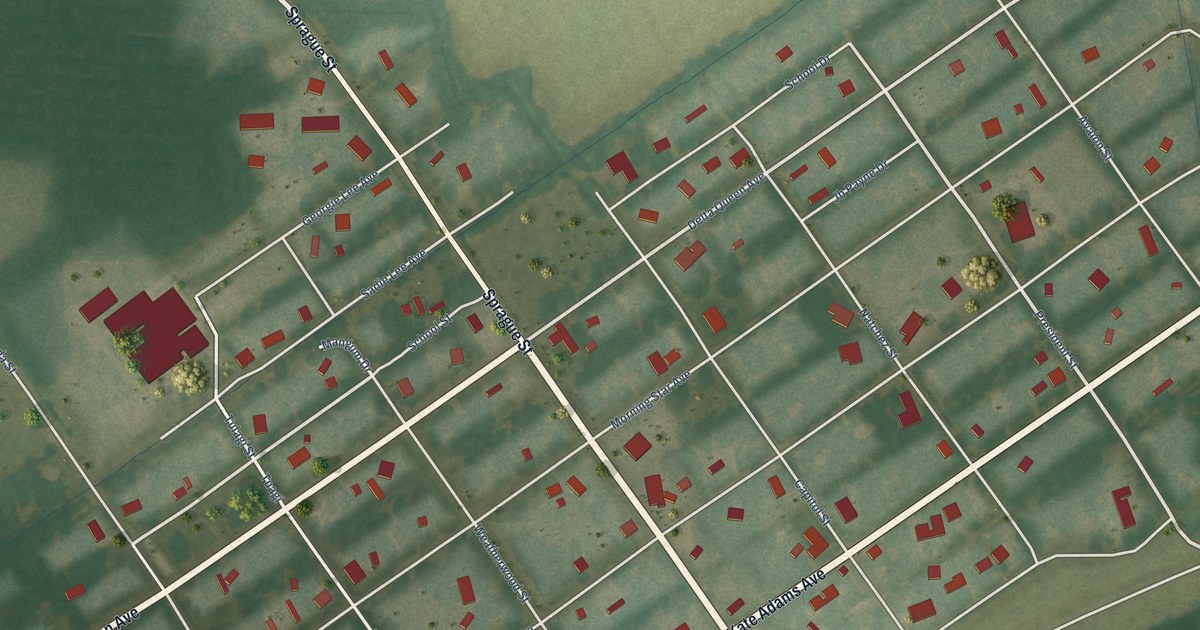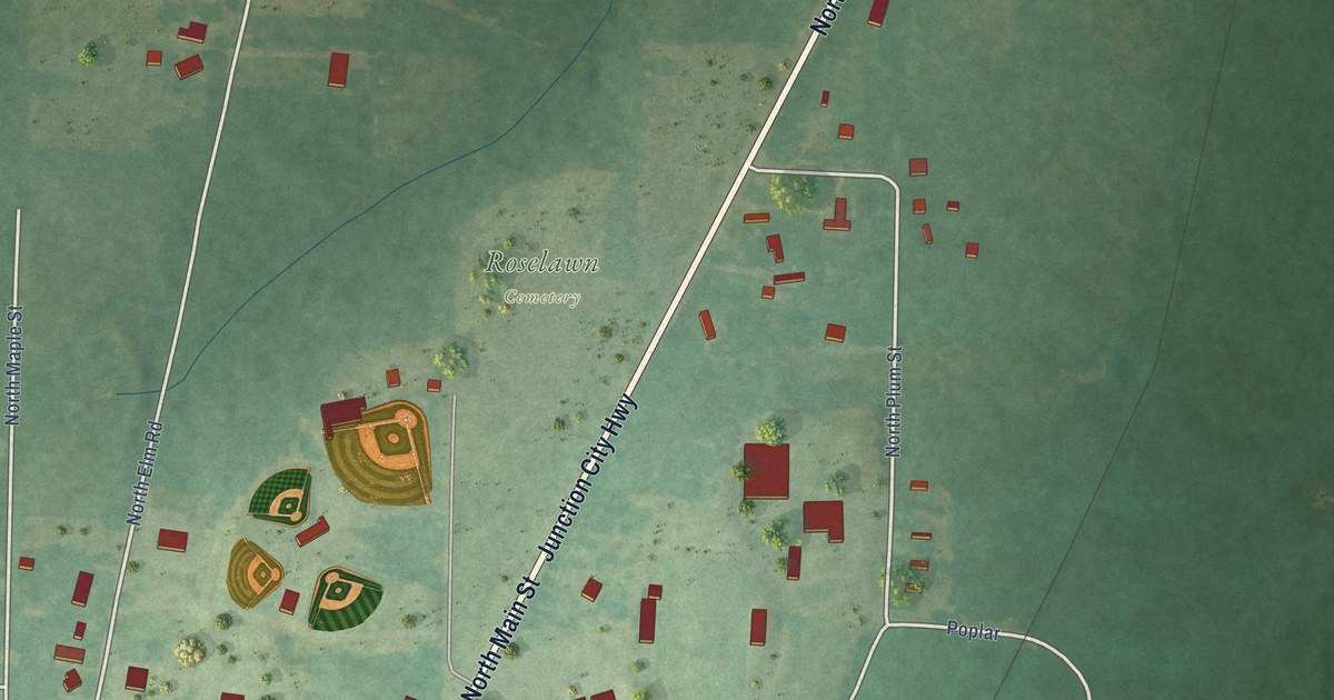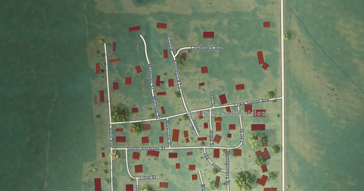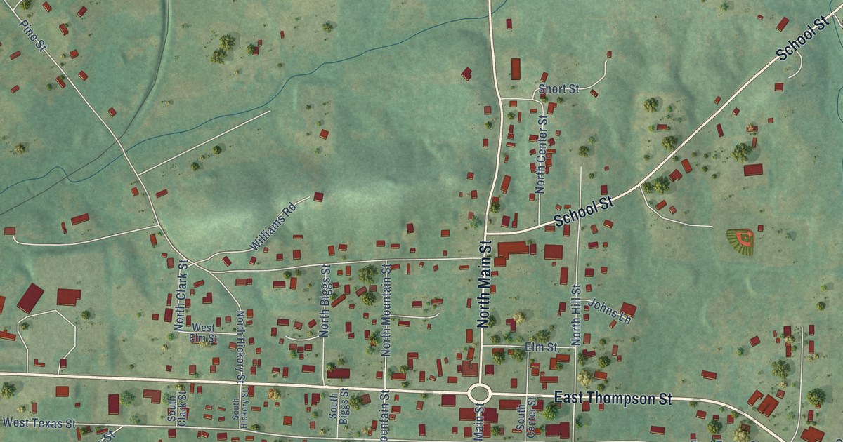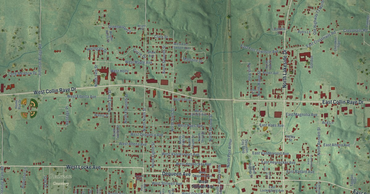
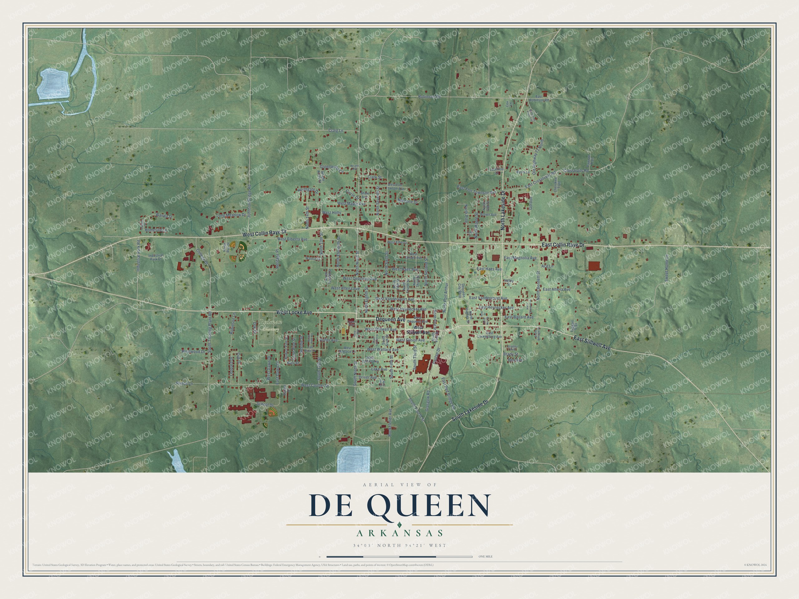
This beautifully detailed map of De Queen, Arkansas was created in 2026 using aerial imagery combined with modern topographical, census, street and landmark data. It's a modern aerial view of De Queen in Sevier County, Arkansas, that combines modern data with a vintage aesthetic. The roads feature printed names, and if you look closely you can find your exact house accurately shown in its correct location.
Explore an aerial view of De Queen, Arkansas
On this map you'll find Redman Cemetery, Dequeen Avenue, West Locke Avenue, West Collin Raye Drive, South Lakeside Drive, East Collin Raye Drive, North Lakeside Drive, East Stillwell Avenue, North Ninth Street, West Stillwell Avenue, Robinson Road, West Gilson Avenue, and more. Each red shape is a building, so zoom in on the preview and look for yours.
De Queen has a story worth telling. The CALS Encyclopedia of Arkansas puts it this way: "De Queen was formally founded on June 3, 1897, when a petition signed by forty-two residents asked County Judge Ben Norwood to incorporate the new town. D. Henry Harris was the town’s first mayor, and John G. McKean was recorder."
De Queen is a city in Sevier County.
Take a closer look at the De Queen map
Names on this map
These names are printed on this map.
Places: Redman Cemetery.
Streets and roads: Dequeen Avenue, West Locke Avenue, West Collin Raye Drive, South Lakeside Drive, East Collin Raye Drive, North Lakeside Drive, East Stillwell Avenue, North Ninth Street, West Stillwell Avenue, Robinson Road, West Gilson Avenue, South Ninth Street.
More street names, A to Z
Ace Lane, Ben Avenue, Bradley Boulevard, Brady Street, Broken Pine Street, Brown Avenue, Burr Street, Byers Lane, Cherokee Trail, Circle Drive, Clark Street, College Drive, Connect Street, Cox Lane, Craig Lane, Crosstrails Road, Cub Drive, Dequeen City Shop, Driver Avenue, East Altena Avenue, East Ballard Avenue, East Crosstrails Road, East Dawn Drive, East Fort Townson Avenue, East Haes Avenue, East Heynecker Avenue, East Lockesburg Avenue, East Magnolia Avenue, East Red Bridge Road, East Robinson Road, East Vandervoort Avenue, Glasgow Road, Gordon, Greenwood Circle, Heritage Place, Home Run Drive, Homesite Lane, Hurd Street, Industrial Park Drive, Industrial Park Road, Johnson Bridge Road, Jones Street, Lacefield Lane, Lake Avenue, Leopard Drive, Lone Pine Street, Long Meadow Drive, Marcone Drive, Needle Street, North 13th Street, North 14th Street, North Bennett Street, North Cleveland Street, North Eighth Street, North Eleventh Street, North Fifth Street, North First Street, North Fourth Street, Northgate Drive, North Hughes Street, North Hurd Street, North Maple Street, North Oak Street, North Pine, North Pine Circle, North Port Arthur, North Second Street, North Seventh Street, North Sixth Street, North Third Street, North Twelfth Street, Oak Drive, Old Highway 71 North, Pawnee Trail, Philip Cox Boulevard, Poulan Drive, Prince Lane, Robinson Lane, Rockefeller Avenue, Roller Avenue, School Drive, Shaw Avenue, South 13th Street, South Bennett Street, South Fifth Street, South First Street, South Fourth Street, South Seventh Street, South Sixth Street, South Third Street, South Treating Plant Road, Sunset Drive, Sweet Home Lane, Taggart Trail, Tall Pine Drive, Turner Alley, Valley Street, Walnut Street, Wanda Street, West Altena Avenue, West Collins Avenue, West Coulter Drive, West Dawn Drive, West Dequeen Avenue, West Dequincy Avenue, West Driver, West Elberta, West Elberta Avenue, West Fort Towson Avenue, West Haes Avenue, West Heynecker Avenue, West Holly, West Jansen Avenue, West Maple Avenue, West Vandervoort Avenue, West Wallace Avenue, West Wallace Lane, Westwood Drive, Whispering Pines Trail, Wright Acres Street, Wright Avenue.
Created by KNOWOL in 2026. The buildings are small red shapes, the roads carry their printed names, and shaded relief shows the shape of the land. The title panel reads "AERIAL VIEW OF DE QUEEN ARKANSAS" with 34°03' NORTH 94°21' WEST.
It looks right in a kitchen, an office or a den, and it's a gift for anyone who grew up in De Queen or moved away. Open the preview and find your street. See sizes and frames for the De Queen map.