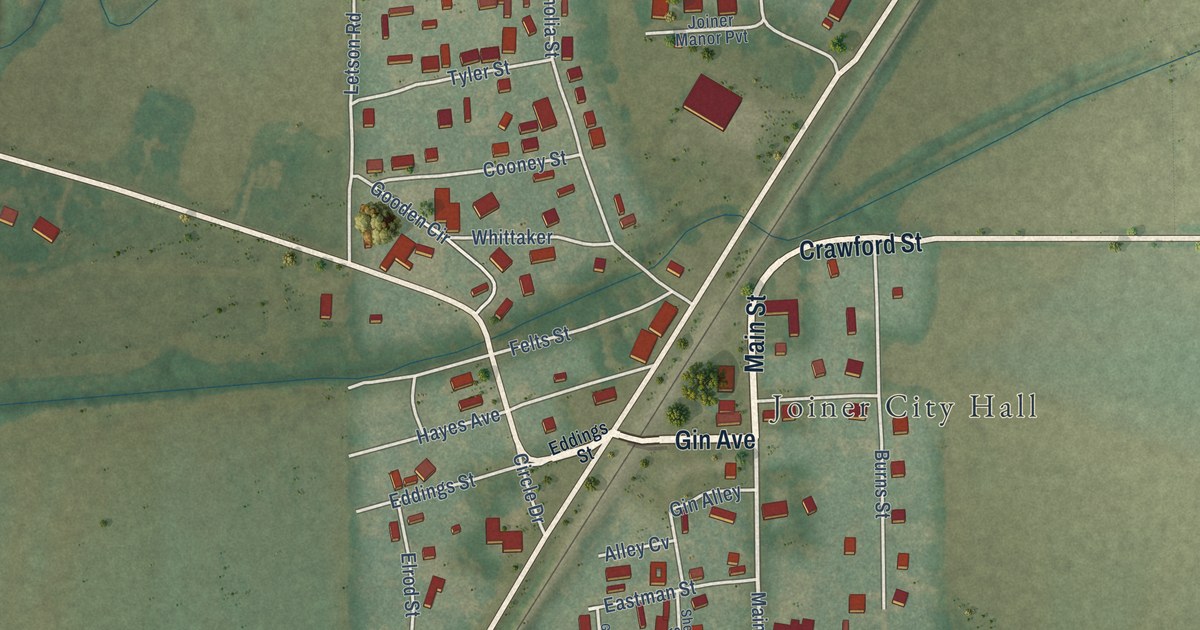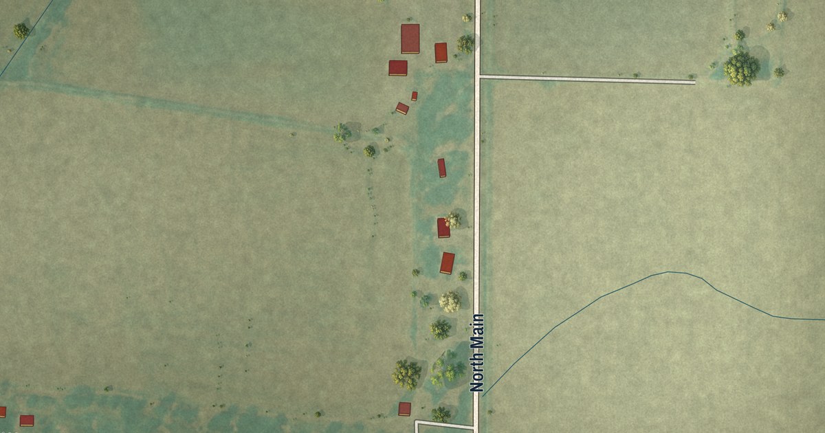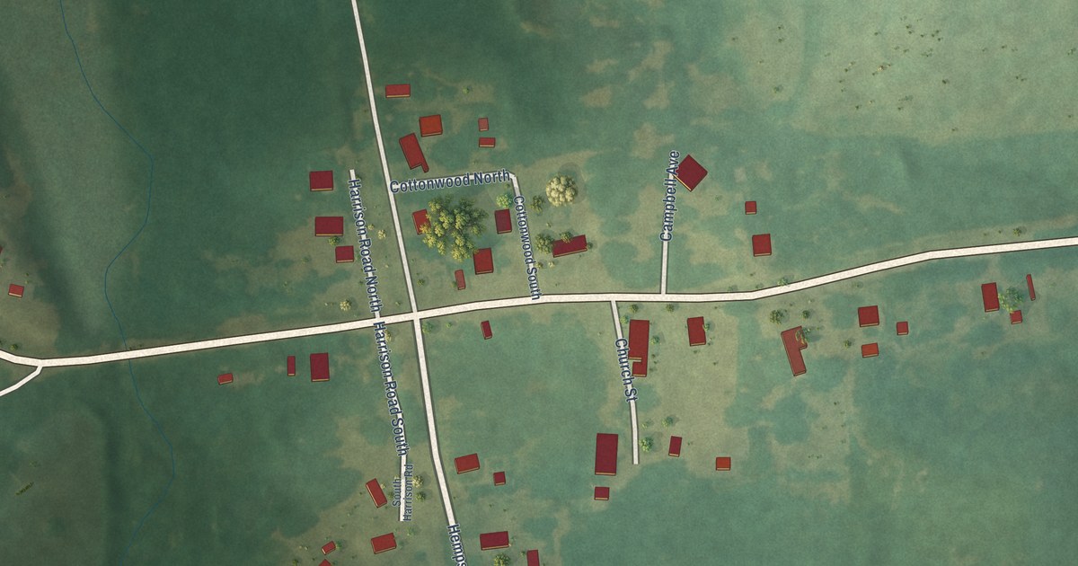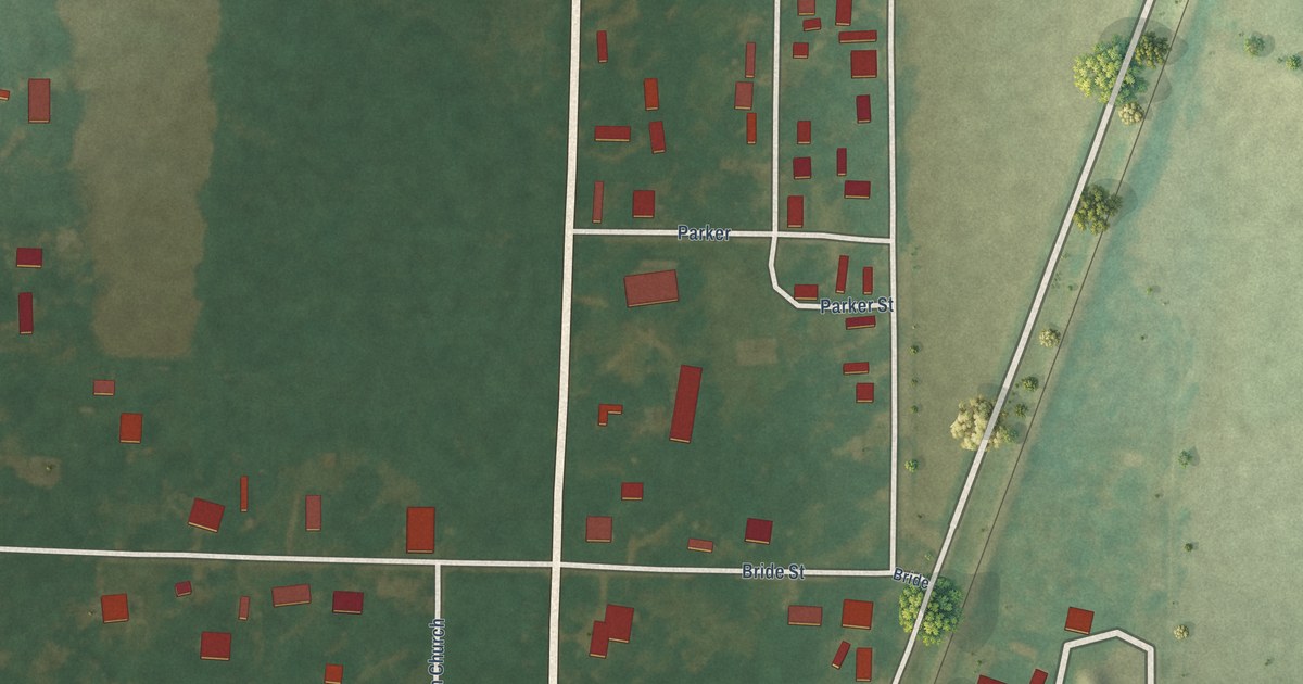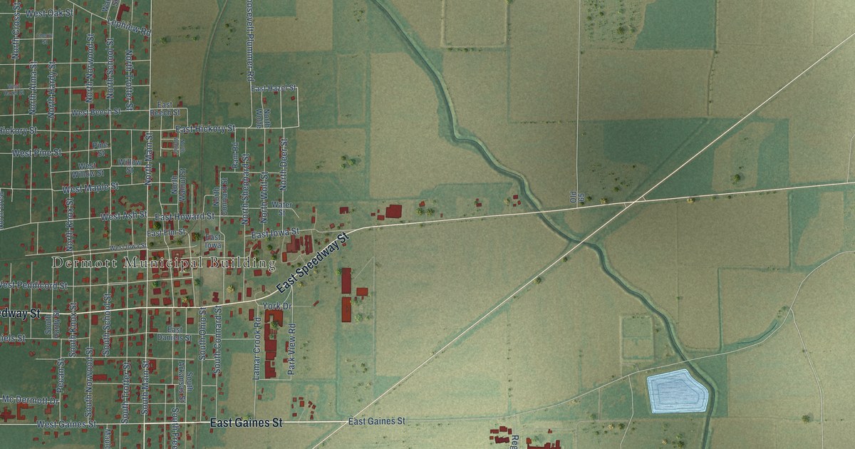
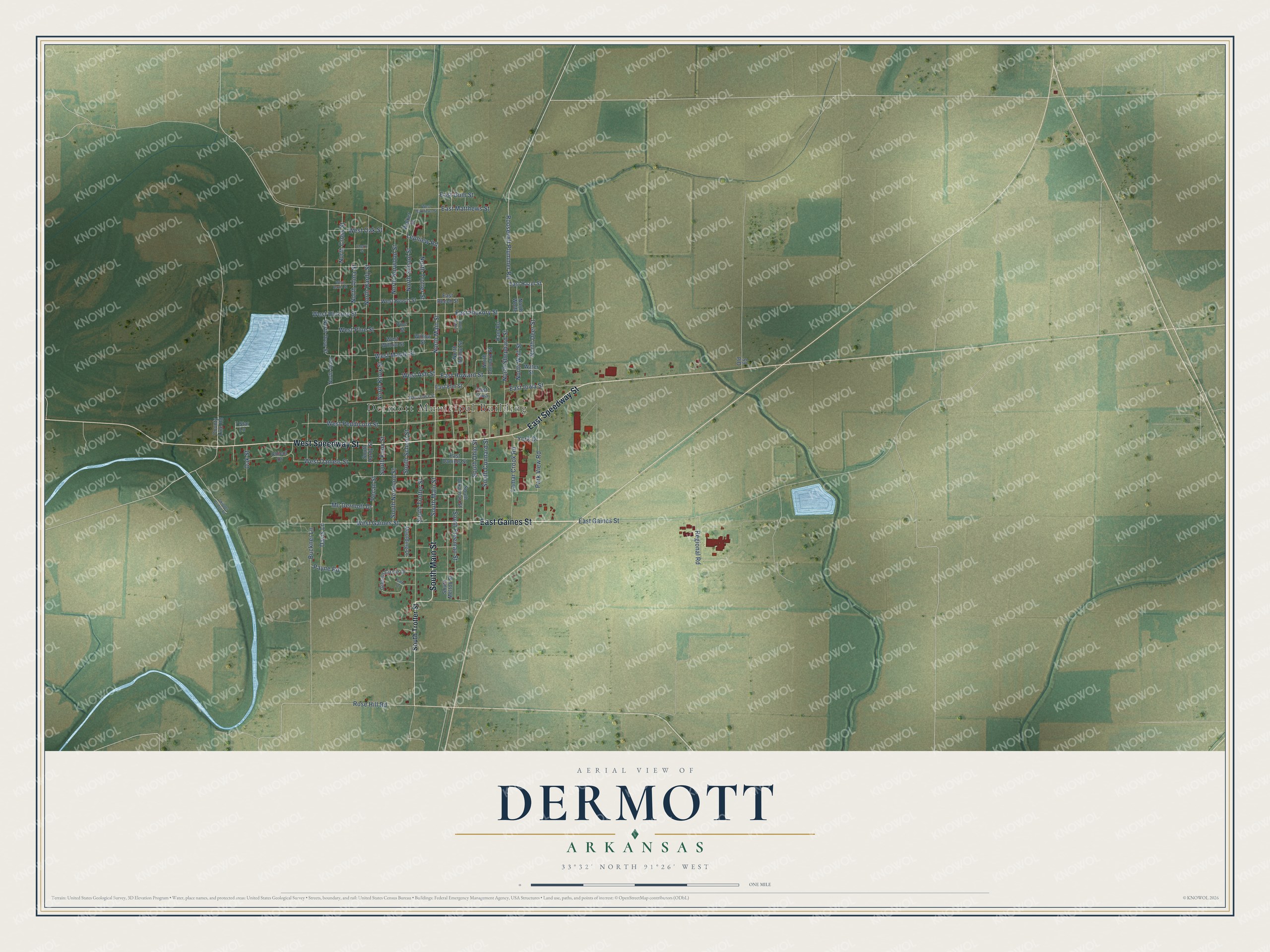
This beautifully detailed map of Dermott, Arkansas was created in 2026 using aerial imagery combined with modern topographical, census, street and landmark data. It's a modern aerial view of Dermott in Chicot County, Arkansas, that combines modern data with a vintage aesthetic. The roads feature printed names, and if you look closely you can find your exact house accurately shown in its correct location.
Explore an aerial view of Dermott, Arkansas
On this map you'll find Dermott Municipal Building, East Gaines Street, East Speedway Street, West Speedway Street, South Main Street, West Gaines Street, Payne Road, North Main Street, Roosevelt Plummer Road, Mc Dermott Drive, Davis Lane, South Freeman Street, and more. Each red shape is a building, so zoom in on the preview and look for yours.
Here is a piece of Dermott history, in the words of the record. The CALS Encyclopedia of Arkansas puts it this way: "John Smith and his wife, Sarah Bowden, arrived in 1811 and opened the first settlement in the vicinity. The town was named after Dr. Charles McDermott, who first visited in 1834."
Dermott is a city in Chicot County.
Take a closer look at the Dermott map
Names on this map
These names are printed on this map.
Places: Dermott Municipal Building.
Streets and roads: East Gaines Street, East Speedway Street, West Speedway Street, South Main Street, West Gaines Street, Payne Road, North Main Street, Roosevelt Plummer Road, Mc Dermott Drive, Davis Lane, South Freeman Street, East Hickory Street.
More street names, A to Z
7 Star Lane, Buckner Lane, Cherry Street, Chicot Drive, County Line Road, East Beech Street, East Daniels Street, East Elm Street, East Gum Street, East Hazel Street, East Howard Street, East Iowa, East Iowa Street, East Matthews Street, Gibson Circle Drive, Lamar Crook Road, Lephiew Road, Maulding Drive, North Alma Street, North Connard Street, North Cross Street, North Deer Street, North Drew, North Drew Street, North Hardy Street, North Knox Street, North Norwood Street, North School Street, North Shephard Street, North Trotter Street, North Walnut, North Walnut Street, North Wolfe, North Wolf Street, Oak Street, Old 65, Park Drive, Park View Road, Pecan Street, Pine Street, Ram Road, Regional Road, Rose Hill Road, Skipper Bridge Road, South Arkansas Street, South Connard Street, South Hardy Street, South Knox Street, South Melton Street, South Norwood Street, South Ohio Street, South School Street, South Trotter Street, Walker Street, Water Street, West Ash Street, West Beech Street, West Daniels Street, West Hazel Street, West Hickory Street, West Iowa Street, West Maple Street, West Matthews Street, West Oak Street, West Peddicord Street, West Pine Street, West Willow Street, Willow Street, York Drive.
Created by KNOWOL in 2026. The buildings are small red shapes, the roads carry their printed names, and shaded relief shows the shape of the land. The title panel reads "AERIAL VIEW OF DERMOTT ARKANSAS" with 33°32' NORTH 91°26' WEST.
It suits a den, a classroom or a front hall, and it makes a gift for anyone with Dermott roots. Open the preview and find the block you know. See sizes and frames for the Dermott map.