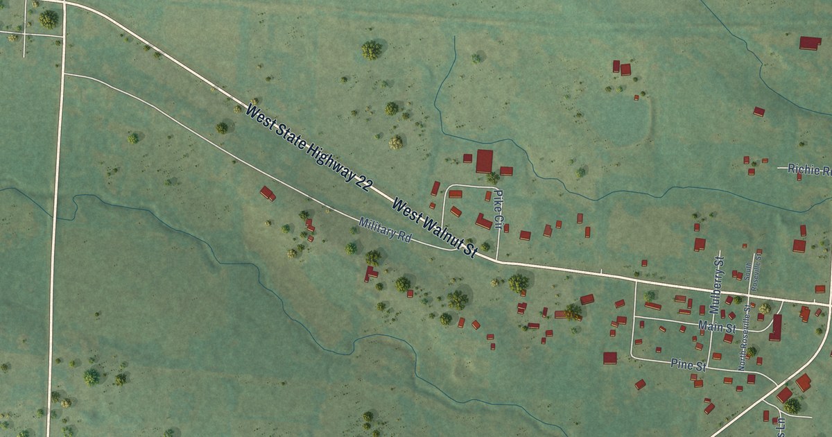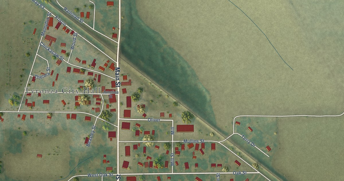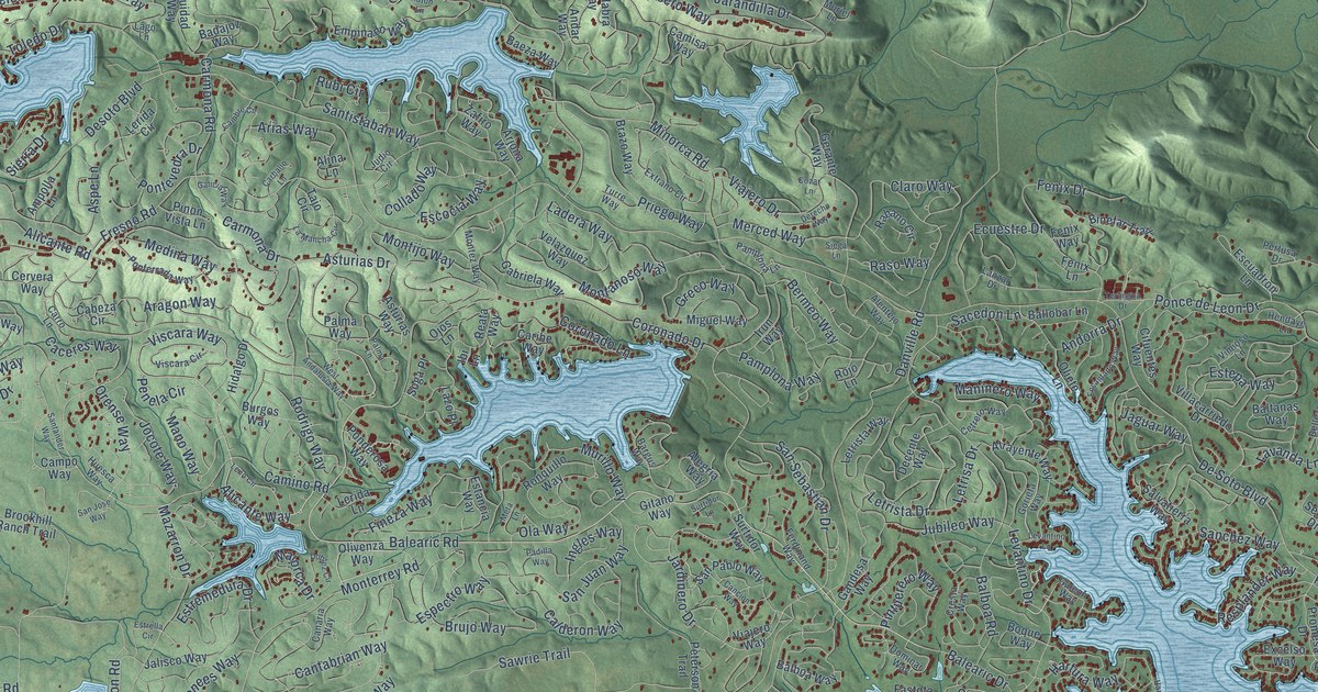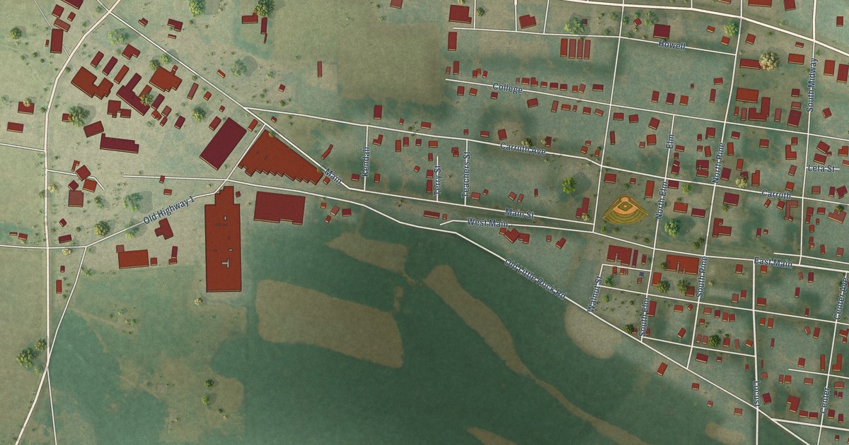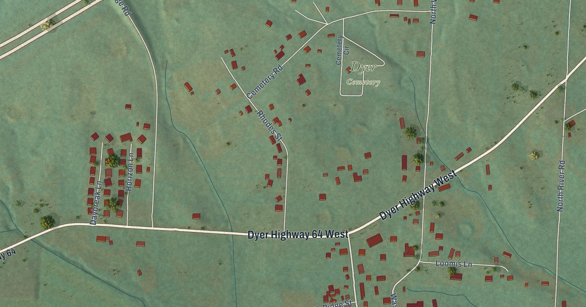
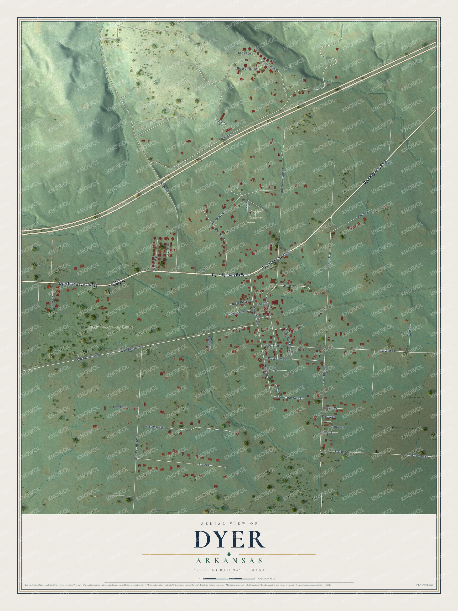
This beautifully detailed map of Dyer, Arkansas was created in 2026 using aerial imagery combined with modern topographical, census, street and landmark data. It's a modern aerial view of Dyer in Crawford County, Arkansas, that combines modern data with a vintage aesthetic. The roads feature printed names, and if you look closely you can find your exact house accurately shown in its correct location.
Explore an aerial view of Dyer, Arkansas
On this map you'll find Dyer Cemetery, River Valley Golf Course, Dyer Highway West, Dyer Highway 64 West, Dyer Highway East, North Main Street, East Line Street, South Main Street, Washington Street, North Washington Street, West Red Hill Street, Melody Lane, and more. Each red shape is a building, so zoom in on the preview and look for yours.
Here is a piece of Dyer history, in the words of the record. The CALS Encyclopedia of Arkansas puts it this way: "In the 1840s, Joel Dyer acquired a farm adjacent to the road and began offering water and a rest stop to the west-bound wagon trains that used the road. The wagon stop at his farm became a designated stagecoach stop in 1858, and Dyer regularly received mail from the driver for local residents."
Dyer is a city in Crawford County.
Take a closer look at the Dyer map
Names on this map
These names are printed on this map.
Places: Dyer Cemetery and River Valley Golf Course.
Streets and roads: Dyer Highway West, Dyer Highway 64 West, Dyer Highway East, North Main Street, East Line Street, South Main Street, Washington Street, North Washington Street, West Red Hill Street, Melody Lane, Old Simmons Road, South Red Hill Street.
More street names, A to Z
Alma, Birdie Circle, Blackland Road, Blackland Street, Breezy Lane, Cemetery Circle, Cemetery Road, Daybreak Lane, East Highway 64, Goff Circle, Harmony Road, Hatley Drive, Heard Branch Lane, Hilltop Lane, Horizon Lane, Katia Avenue, Kerkendall Street, Loomis Lane, Morrell Drive, North Ridge Street, North River Road, Paul, Pore Cv, Porter Place, Railroad Lane, Rhodes Street, Ridge Road, River Chase Drive, River Lane, River Vista Drive, Rosellas Way, South Kerkendall Street, South River Road, South View Street, Turner Drive, West Hancock Street, West Hazel Street, West Line Street.
Created by KNOWOL in 2026. The buildings are small red shapes, the roads carry their printed names, and shaded relief shows the shape of the land. The title panel reads "AERIAL VIEW OF DYER ARKANSAS" with 35°30' NORTH 94°08' WEST.
It suits a den, a classroom or a front hall, and it makes a gift for anyone with Dyer roots. Open the preview and find the block you know. See sizes and frames for the Dyer map.