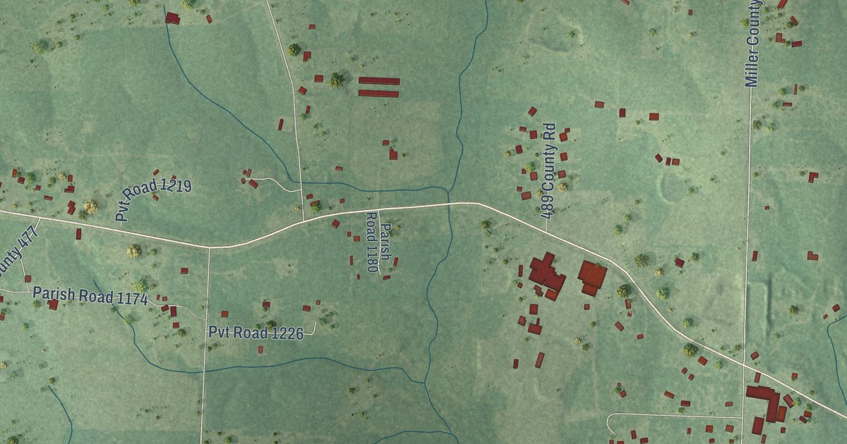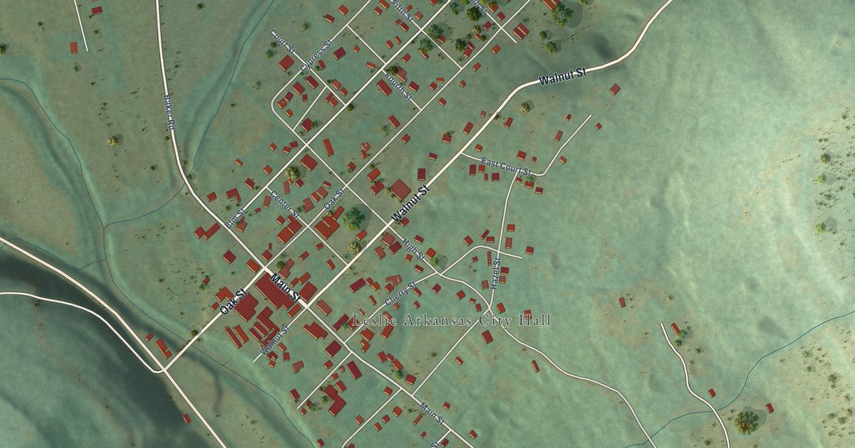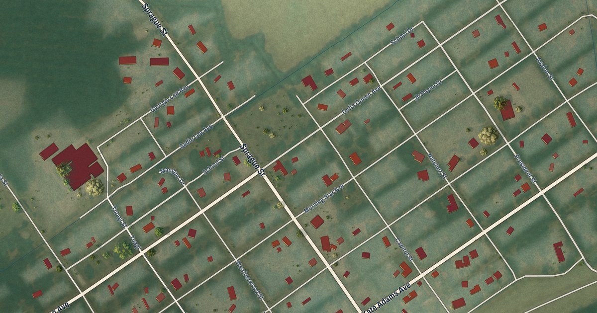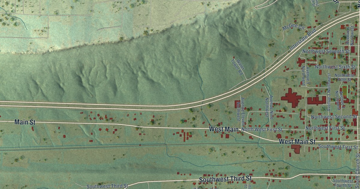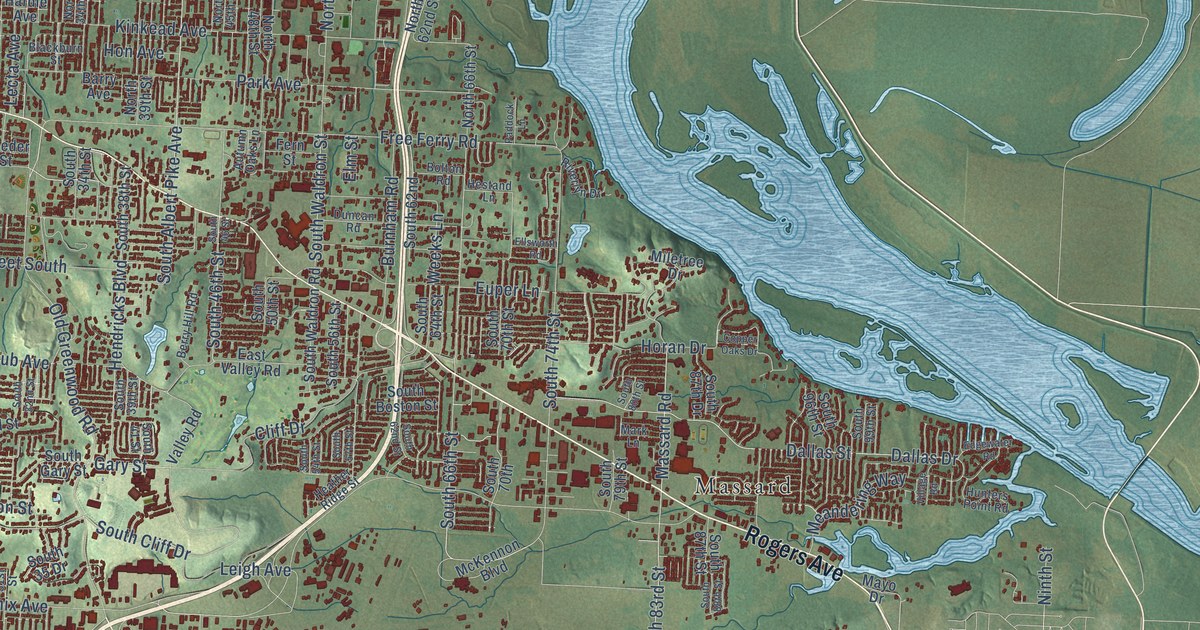
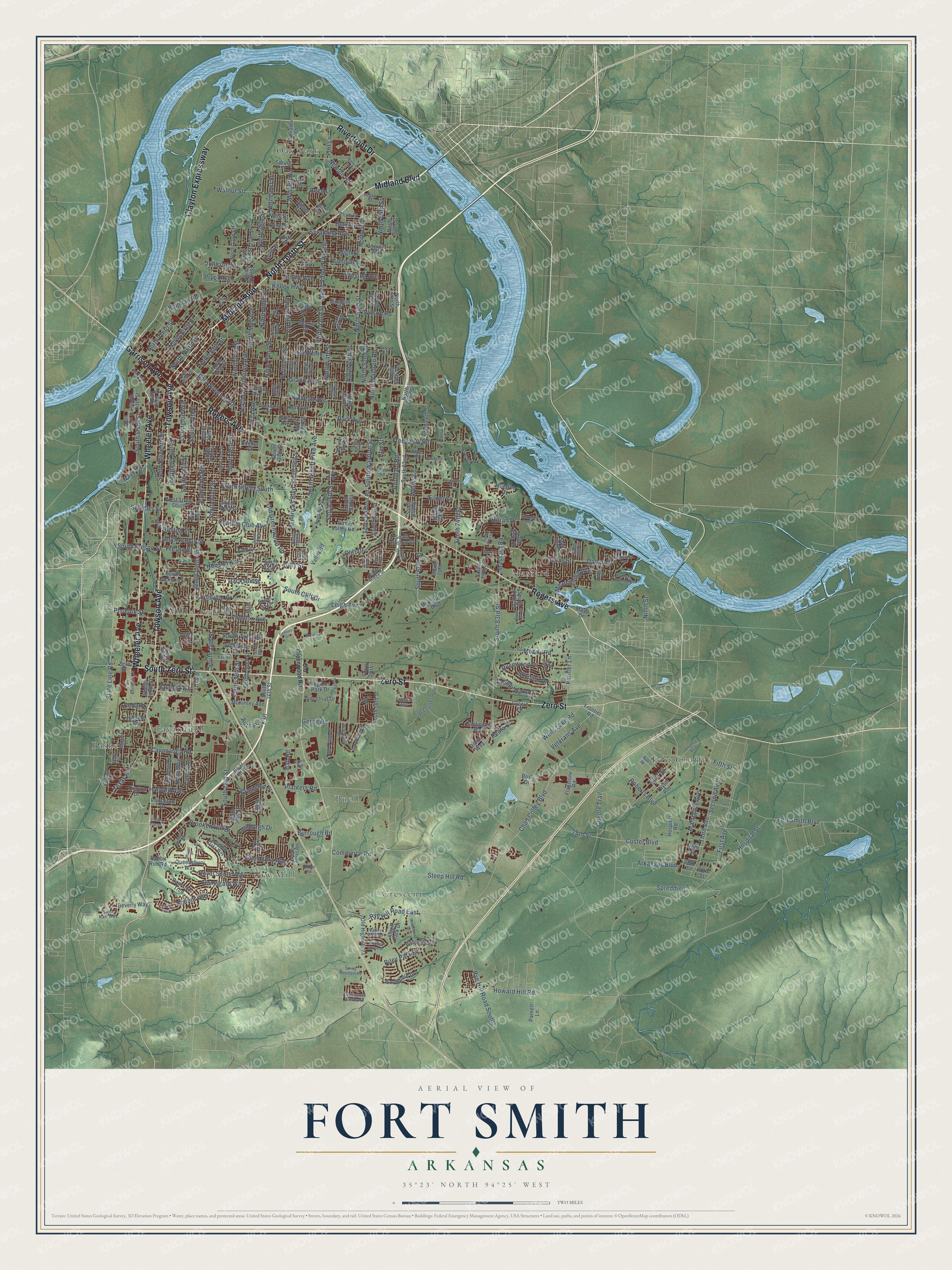
This beautifully detailed map of Fort Smith, Arkansas was created in 2026 using aerial imagery combined with modern topographical, census, street and landmark data. It’s a one-of-a-kind view of Fort Smith that combines accurate data with a vintage aesthetic. The map shows every building in its true location, many of the roads carry their names, and the shaded topographic relief shows the shape of the land.
Explore an aerial view of Fort Smith, Arkansas
On the map you’ll find Bashe, Buell, Cavanaugh, Crescent, Fort Chaffee, Massard, Mill Creek, Oak Park, and Saw Mill, along with Zero Street, North Tenth Street, Midland Boulevard, and more. If you look closely you can even find your house accurately drawn in its correct location. Zoom in on the preview to look for yours.
Did you know this piece of Fort Smith, Arkansas history?
From the CALS Encyclopedia of Arkansas: "Around the fort, a small settlement began forming, taking its name from the fort that, in turn, was named for General Thomas A. Smith, the military district’s commander."
Fort Smith is a city in Sebastian County.
Take a closer look at the Fort Smith map
Street and place names on the Fort Smith, Arkansas map
These names are printed on the map of Fort Smith, Arkansas.
Places: Bashe, Buell, Cavanaugh, Crescent, Fort Chaffee, Massard, Mill Creek, Oak Park, Saw Mill and Highland Park.
Streets and roads: Zero Street, North Tenth Street, Midland Boulevard, Wheeler Avenue, Rogers Avenue, Towson Avenue, Clayton Expressway, South Zero Street, Riverfront Drive, Garrison Avenue, Painter Lane, Chad Colley Boulevard.
More street names, A to Z
14th Street, 21st Street, 25th Street, 26th Street, 27th Street, 29th Street, 30th Street, 31st Street, Arkansas Boulevard, Armour Street, Atlanta Street, Auto Park Drive, Autumn Oaks Lane, Avignon Lane, Ayers Road, Ballman Road, Ball Road, Barry Avenue, Belhaven Vw, Berkley, Berry Hill Road, Beverly Way, Birnie Avenue, Blackburn Street, Blackjack Drive, Bluff Avenue, Bolton Road, Bost Drive, Boston Street, Bradley Drive, Briar Cliff Avenue, Brooken Hill Drive, Bryn Mawr Circle, Burnham Road, Burrough Road, Canopy Oaks Drive, Cavanaugh Road, Cedar Lane, Century Drive, Chaffee Boulevard, Chapen Drive, Churchill Road, Cliff Drive, Colony Lane, Columbus Acres Road, Commerce Road, Copper Oaks Drive, Country Club Avenue, Coyote Trail, Crimson Avenue, Cross Lane, Custer Boulevard, Dallas Drive, Dallas Street, Didier Road, Division Street, Duncan Road, East Street North, East Valley Road, Edgewater Road, Edinburgh Drive, Ellis Street, Ellsworth Road, Elm Street, Enid Street, Essex Place, Euper Lane, Fern Street, Fianna Place Court, Fianna Way, Fifth Street, Fincastle Drive, First Avenue, Flagstone Road, Fort Lane, Fort Smith Boulevard, Free Ferry Road, Fresno Street, Frontier Road, Futral Drive, Garland Avenue, Gary Street, Geren Road, Glen Flora Way, Golf Course Loop, Gracie Lane, Grand Avenue, Grinnell Avenue, Hardie Avenue, Harriet Avenue, Harris Street, Harvard Avenue, Heather Oaks Way, Heather Ridge Street, Hendricks Boulevard, Hestand Lane, High Street, Hillside Drive, Holly Avenue, Hon Avenue, Horan Drive, Hospital Road, Hospital Street, Houston Street, Howard Hill Road, Hunters Point Road, Huntington Way, Industrial Drive, Irving Street, Jackson Street, Jacobs Avenue, Jenny Lind Avenue, Jenny Lind Road, Johnson Street, Kelley Highway, Kinkead Avenue, Lecta Avenue, Leigh Avenue, Lexington Avenue, Lookout Drive, Louisville Street, Mahogany Avenue, Maple Park Drive, Mark Lane, Martin Drive, Mary Avenue, Massard Road, Mayo Drive, McKennon Boulevard, McKinley Avenue, Meadow Brook Drive, Meadow Drive, Meandering Way, Miletree Drive, Moody Road, Morris Drive, Mussett Road, Navy Road, Neis Street, Newlon Road, Ninth Street, North 13th Street, North 16th Street, North 21st Street, North 23rd Street, North 26th Street, North 27th Street, North 29th Street, North 30th Street, North 31st Street, North 32nd Street, North 33rd Street, North 34th Street, North 35th Street, North 37th Street, North 39th Street, North 40th Street, North 42nd Street, North 44th Street, North 45th Street, North 46th Terrace, North 48th Street, North 49th Street, North 50th, North 50th Street, North 52nd Street, North 53rd Street, North 54th Street, North 57th Street, North 58th Street, North 58th Terrace, North 62nd Street, North 66th Street, North Albert Pike Avenue, North Greenwood Avenue, North May Avenue, North Ninth Street, North Sixth Street, North Street, North Street North, North Third Street, North Twelfth Street, North Waldron Road, Oak Street, Old Greenwood Road, Old Highway 71, Osage Street, Paddock Lane, Park Avenue, Parnell Lane, Phoenix Avenue, Phoenix Street, Planters Road, Plum Street, Poplar Street, Prairie Drive, Princeton Drive, Pryor Avenue, Queensbury Way, Rabbit Run Road, Rak Place, Ramsgate Way, Rannoch Trce, Reata Street, Red Pine Drive, Reeder Street, Reed Lane, Regions Park Drive, Riley Park Drive, Riverlyn Drive, Roberts Boulevard, Rome Way, Rosewood Drive, Royal Scots Way, Rs Boreham Street, Rye Hill Road East, Rye Hill Road South, Saint Karr Way, Savannah Street, Schulter Street, Second Avenue, Short Lane, Skypark Drive, South 14th Street, South 16th Street, South 17th Street, South 20th Street, South 21st Street, South 22nd Street, South 23rd Street, South 24th Street, South 25th Street, South 28th Street, South 29th Street, South 30th Street, South 31st Street, South 32nd Street, South 33rd Street, South 34th Street, South 35 Drive, South 35th Terrace, South 36th Street, South 38th Street, South 39th Street, South 41 Street, South 46 Street, South 46th Street, South 50th Street, South 54th Street, South 55th, South 56th Street, South 57th Street, South 58th Street, South 62nd, South 62nd Street, South 64th Street, South 66th Street, South 70th, South 70th Street, South 74th Street, South 79th Street, South 80th Street, South 83rd Street, South 87th Drive, South 87th Street, South 88th Street, South 94th Street, South 96th Street, South 99th Street, South Albert Pike Avenue, South Boston Street, South Cliff Drive, South Dallas Street, South Eleventh Street, Southfield Drive, South Fifth Street, South Fourth Street, South Fresno Street, South Gary Street, South Jackson Street, South Ninth Street, South Sixth Street, South Street South, South Tenth Street, South Tulsa Street, South Twelfth Street, South Waldron Road, South Waldron Street, South West Street, Spradling Avenue, Spredding, Spring Mountain Road, Spring Street, State Line Road, Steep Hill Road, Taylor Avenue, Tennessee Circle Road, Texas Road, Third Avenue, Tony Street, Trenton Drive, Utica Street, Valley Road, Valley View Drive, Veterans Avenue, Vicksburg Street, Village Road, Virginia Avenue, Walnut Street, Weeks Lane, Wells Lake Road, West Street South, Wheaton Trce, Williams Lane, Wilma Avenue, Wilson Road, Windsor Drive, Wirsing Avenue, Woodland Drive, Xavier Street, Young Street.
See the Fort Smith, Arkansas map on a wall
The Fort Smith map as an 18 x 24 inch print in a black frame.

This beautifully detailed map of Fort Smith makes an attractive addition to your office, library, or den, and it can even be used to teach children the geography and history of the area. It also makes a great gift for anyone with Fort Smith roots. When you’re done exploring, click here to get your copy of the Fort Smith map.