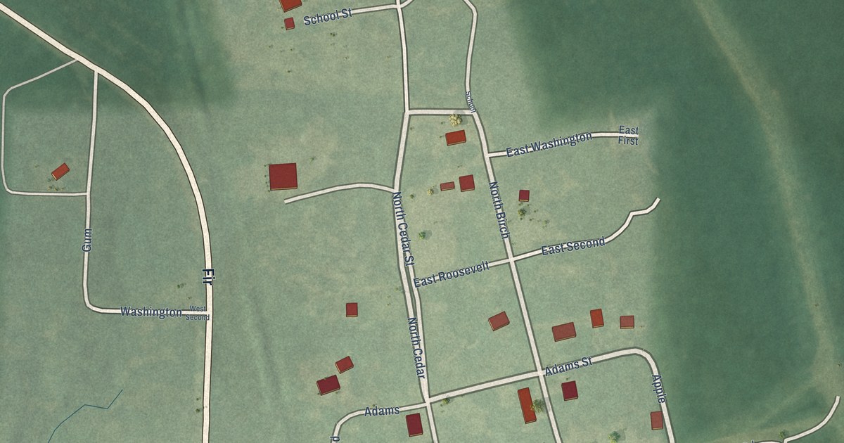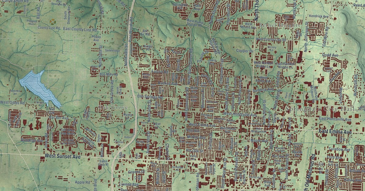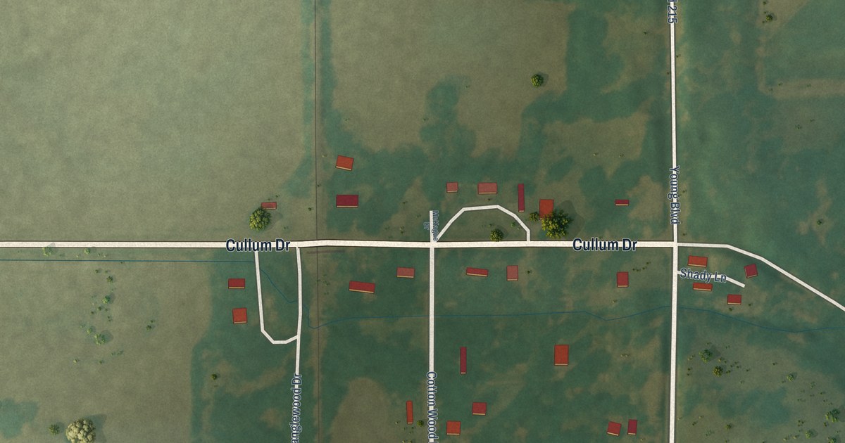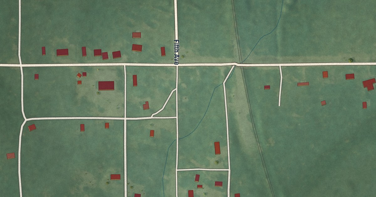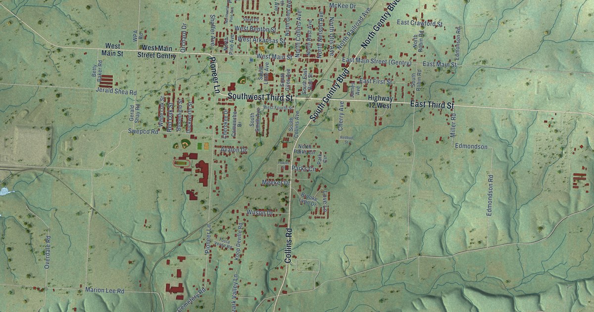
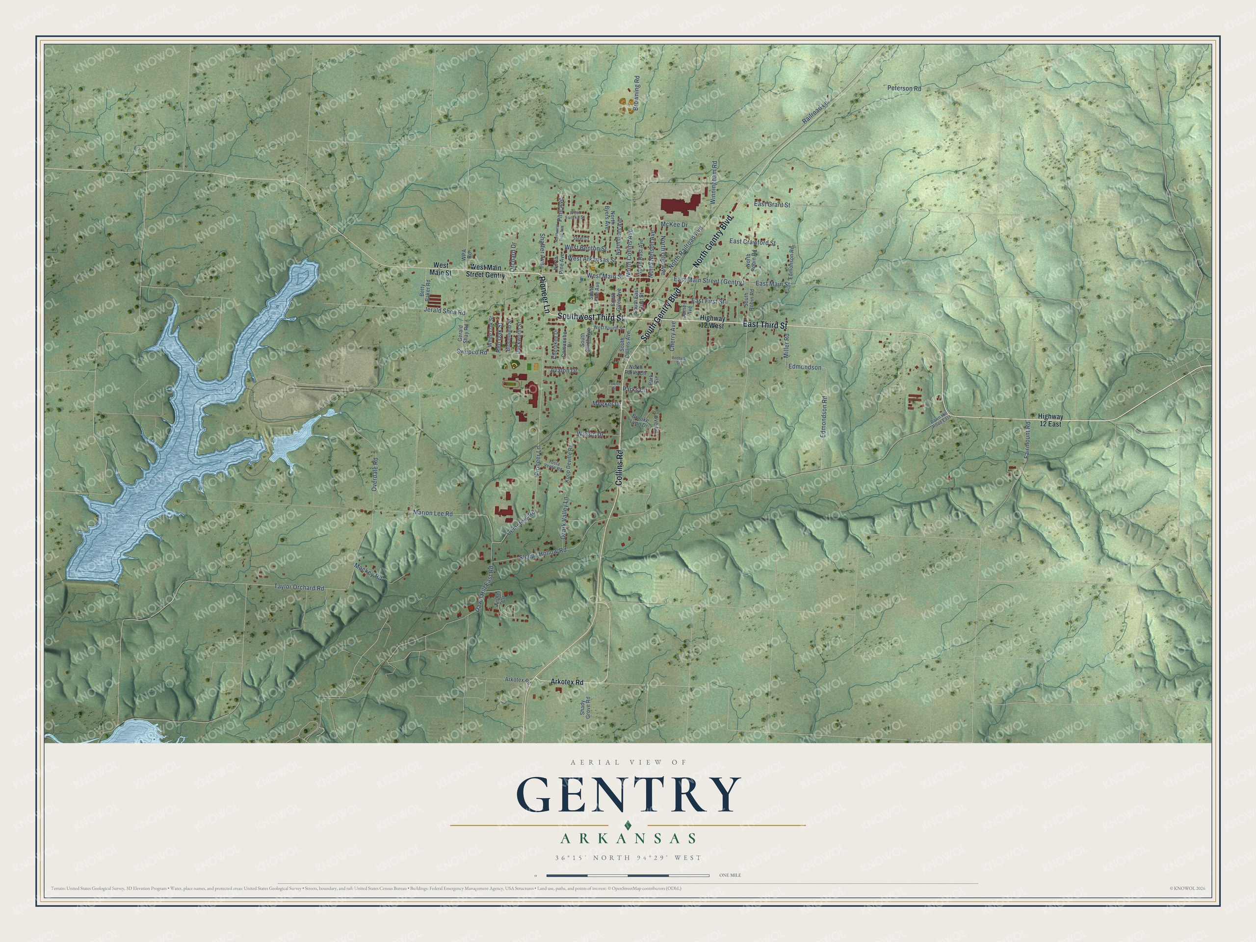
This beautifully detailed map of Gentry, Arkansas was created in 2026 using aerial imagery combined with modern topographical, census, street and landmark data. It's a modern aerial view of Gentry in Benton County, Arkansas, that combines modern data with a vintage aesthetic. The roads feature printed names, and if you look closely you can find your exact house accurately shown in its correct location.
Explore an aerial view of Gentry, Arkansas
On this map you'll find Pioneer Lane, Southwest Third Street, East Third Street, North Gentry Boulevard, South Gentry Boulevard, Collins Road, West Main Street, North Collins Avenue, Fairmount Road, North Railroad Avenue, Sleepy Hollow Road, Edmondson Road, and more. Each red shape is a building, so zoom in on the preview and look for yours.
Here is a piece of Gentry history, in the words of the record. The CALS Encyclopedia of Arkansas puts it this way: "A newspaper, the Gentry Journal, began printing in 1894, though it was soon renamed the Journal-Advance. The city formally incorporated on July 9, 1898, named for the president of the railroad."
Gentry is a city in Benton County.
Take a closer look at the Gentry map
Names on this map
These names are printed on this map.
Streets and roads: Pioneer Lane, Southwest Third Street, East Third Street, North Gentry Boulevard, South Gentry Boulevard, Collins Road, West Main Street, North Collins Avenue, Fairmount Road, North Railroad Avenue, Sleepy Hollow Road, Edmondson Road.
More street names, A to Z
Arkotex Road, Avalon Drive, Betty Baker Road, Bloomfield Street, Brooke Lynn Drive, Browning Road, Cemetery Road, Cherokee Drive, Cherry Avenue, Comanche Drive, Dawn Hill East Road, Dawn Hill Road East, Duckworth Street, East Crawford Street, East First Street, East Grant Street, East Main Street, Edmondson, Edmonson Road, Fisher Circle, Fowler Street, Gerald Shay Road, Highway 12 East, Highway 12 West, James Avenue, Jerald Shea Road, Koop Deville Road, Love Lane, Mackey Road, Marion Lee Road, McKee Drive, Meeker Drive, Miller Road, North Byers Avenue, North Giles Avenue, North Nelson Avenue, North Otis Avenue, North Parks Circle, North Pine Avenue, North Robin Road, North Rust Avenue, Northwest Pine Avenue, Orchard Drive, Overdale Road, Ozark Valley Lane, Park Circle, Parks Circle, Peterson Road, Pine Avenue, Railroad Lane, Redbud Street, Red Oak Street, Shady Grove Road, Shaffer Avenue, South Collins Avenue, South East Rust Street, South Giles Avenue, South Little Avenue, South Robin Road, South Smith Avenue, Steel Court, Swepco Road, Taylor Orchard Road, Tosta Verde Road, West Arkansas Street, West Benton Street, West Eureka Street, West Fourth Street, West Main Street Gentry, White Oak Street, Wilson Drive, Winningham Road, WPA Road.
Created by KNOWOL in 2026. The buildings are small red shapes, the roads carry their printed names, and shaded relief shows the shape of the land. The title panel reads "AERIAL VIEW OF GENTRY ARKANSAS" with 36°15' NORTH 94°29' WEST.
It suits a den, a classroom or a front hall, and it makes a gift for anyone with Gentry roots. Open the preview and find the block you know. See sizes and frames for the Gentry map.