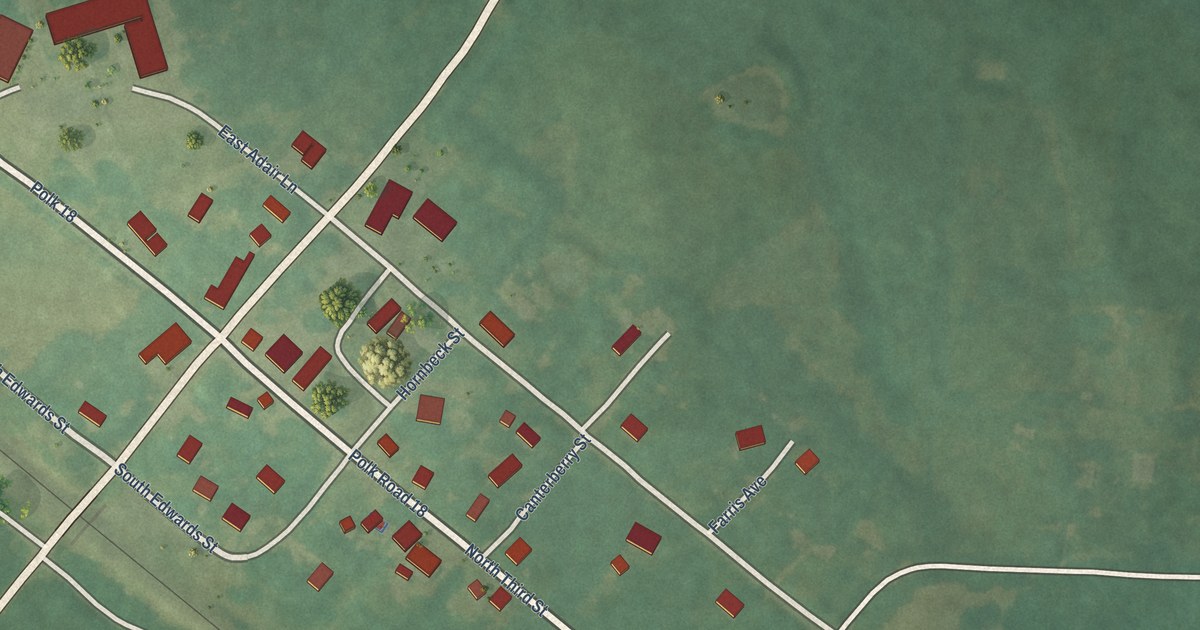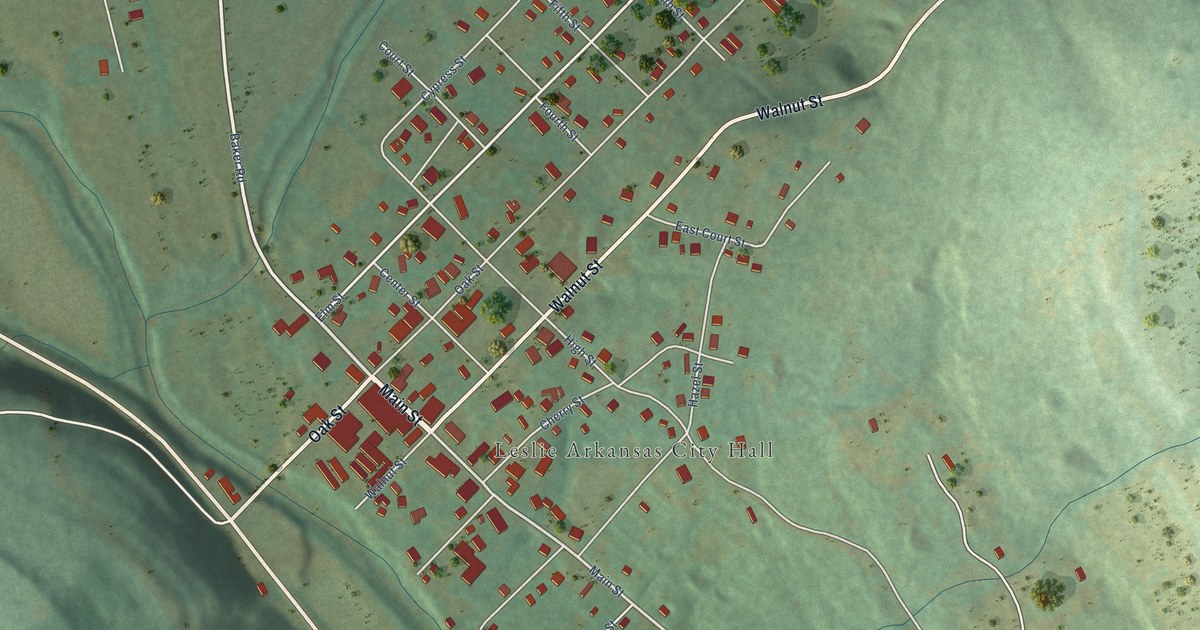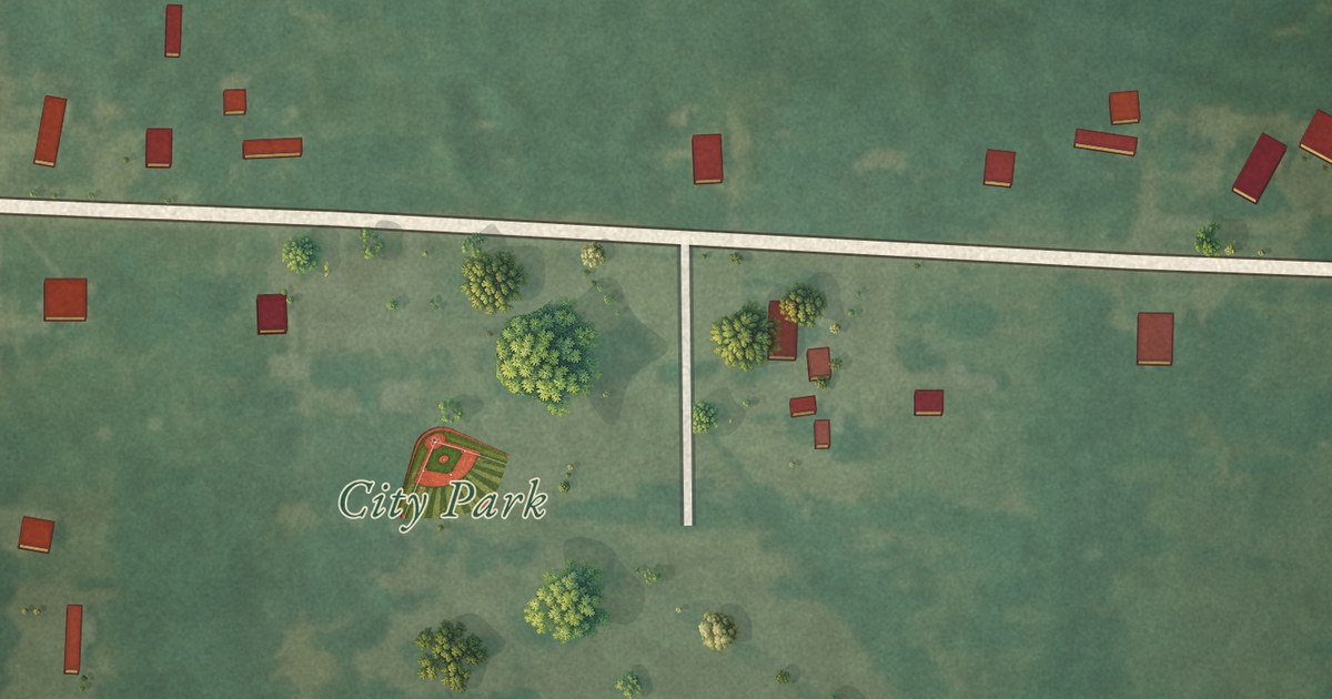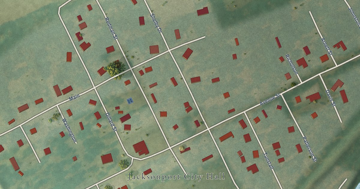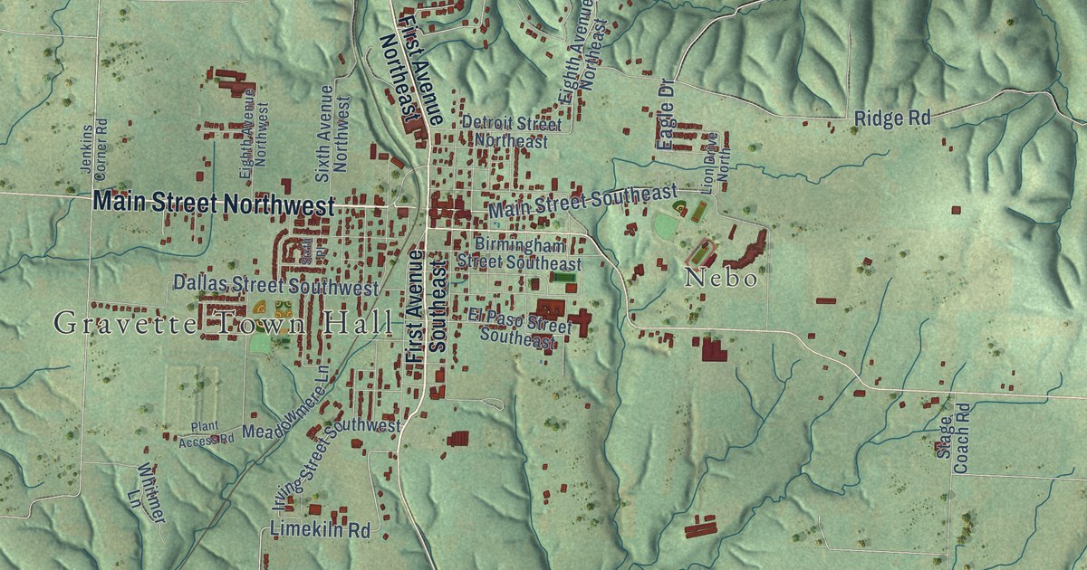
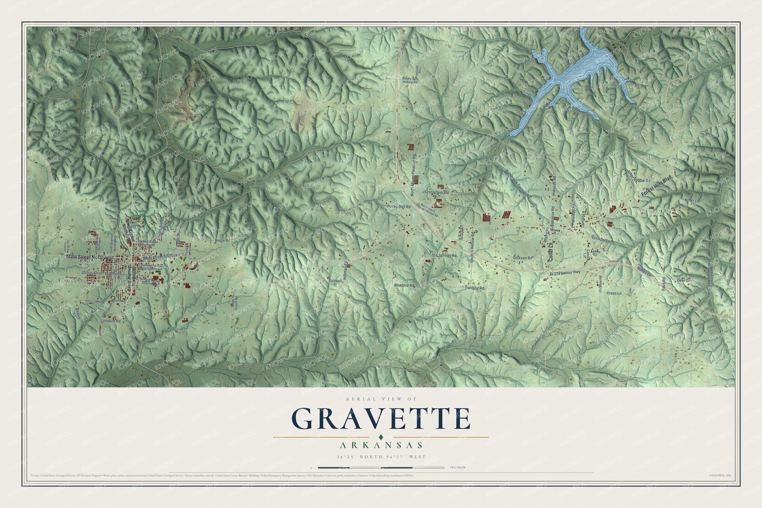
This beautifully detailed map of Gravette, Arkansas was created in 2026 using aerial imagery combined with modern topographical, census, street and landmark data. It’s a one-of-a-kind view of Gravette that combines accurate data with a vintage aesthetic. The map shows every building in its true location, many of the roads carry their names, and the shaded topographic relief shows the shape of the land.
Explore an aerial view of Gravette, Arkansas
On the map you’ll find Gravette Town Hall and Nebo, along with Forest Hills Boulevard, Main Street Northwest, Coller Lane, Main Street Southeast, Hawasse Road, Fielding Road, Limekiln Road, Bluebird Road, North Mount Pleasant Road, Gordon Hollow Road, and more. If you look closely you can even find your house accurately drawn in its correct location. Zoom in on the preview to look for yours.
Did you know this piece of Gravette, Arkansas history?
From the CALS Encyclopedia of Arkansas: "With E. T. Gravett managing the project, the land was platted for the original town, and papers were filed July 26, 1893. The town of Gravette received its charter on August 9, 1893."
Gravette is a city in Benton County.
Take a closer look at the Gravette map
Street and place names on the Gravette, Arkansas map
These names are printed on the map of Gravette, Arkansas.
Places: Gravette Town Hall and Nebo.
Streets and roads: Forest Hills Boulevard, Main Street Northwest, Coller Lane, Main Street Southeast, Hawasse Road, Fielding Road, Limekiln Road, Bluebird Road, North Mount Pleasant Road, Gordon Hollow Road, Dickson Road, Faux Road.
More street names, A to Z
Ar 279 Detour Highway, Banks Lane, Barnwell Drive, Birmingham Street Southeast, Buttermilk Springs Road, Camille Lane, Carrier Lane, Cash Springs Road, Cross Lane, Cross Over Road, Dallas Street Southwest, Deer Drive, Detroit Street Northeast, Eagle Drive, Easley Circle, Eighth Avenue Northeast, Eighth Avenue Northwest, El Paso Street Southeast, First Avenue Northeast, First Avenue Southeast, Galyean Road, Halloway Road, Hatcher Hollow Road, Highlands Boulevard, Hiwasse Road, Horman Road, Irving Street Southwest, Jenkins Corner Road, Kings Lane, Kirkwall Drive, Lion Drive North, Loyle Lane, Meadowmere Lane, Moore Lane, North Mount Pleasant Access Road, Plant Access Road, Ridge Road, Rocky Dell Hollow Road, Rocky Dell Road, Rogers Road, School Street, Sixth Avenue Northwest, Sixth Place, Stage Coach Road, Stidham Lane, West Tanyard Hollow Road, Whitmer Lane.
See the Gravette, Arkansas map on a wall
The Gravette map as an 18 x 24 inch print in a black frame.

This beautifully detailed map of Gravette makes an attractive addition to your office, library, or den, and it can even be used to teach children the geography and history of the area. It also makes a great gift for anyone with Gravette roots. When you’re done exploring, click here to get your copy of the Gravette map.