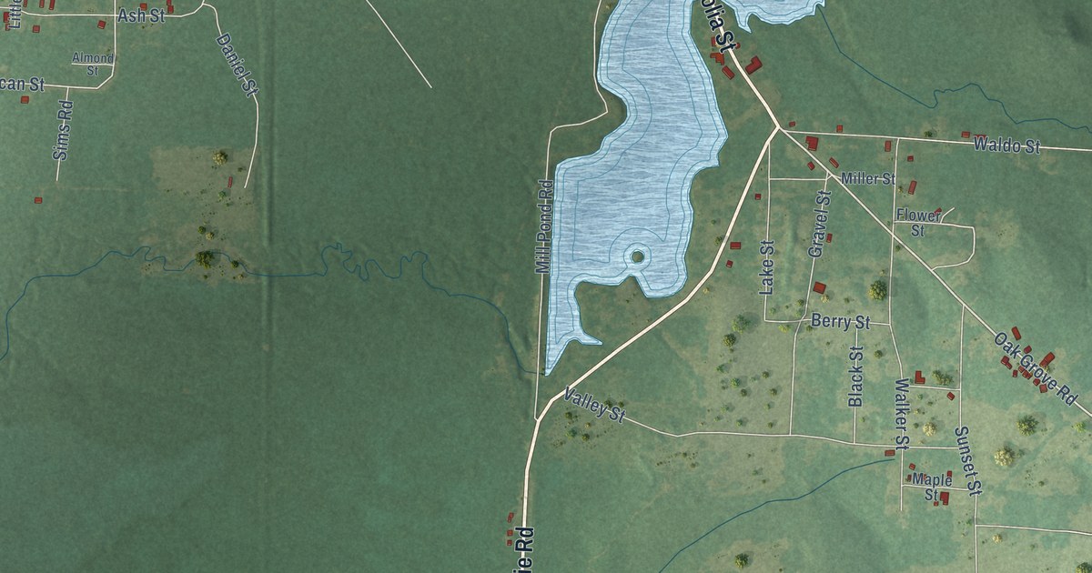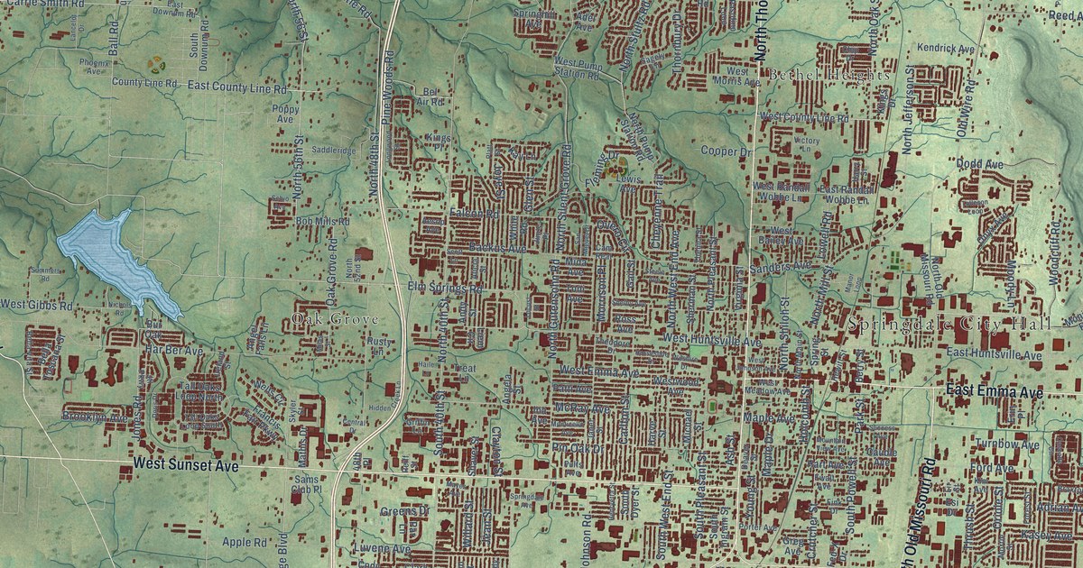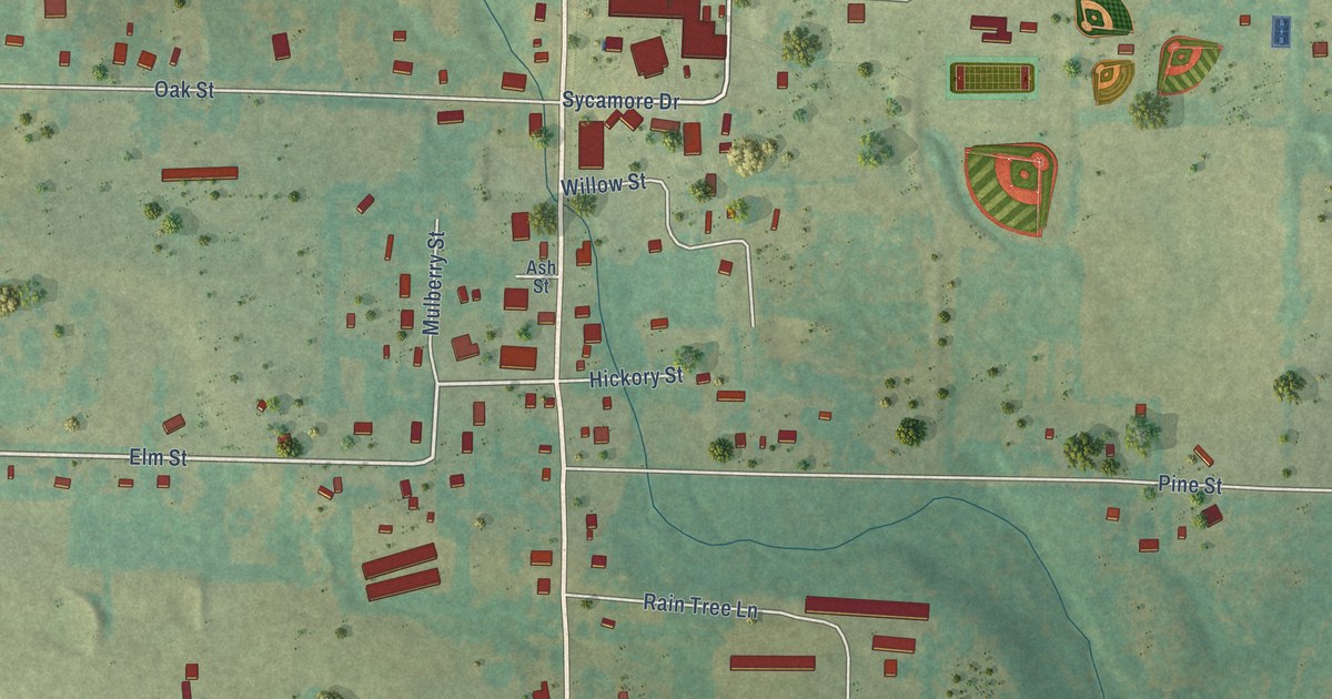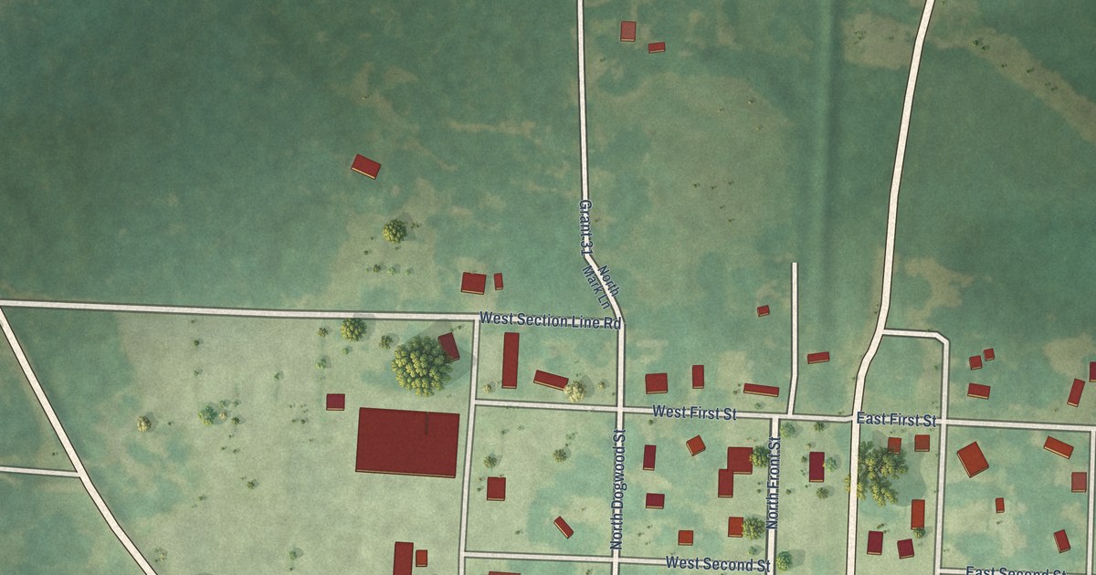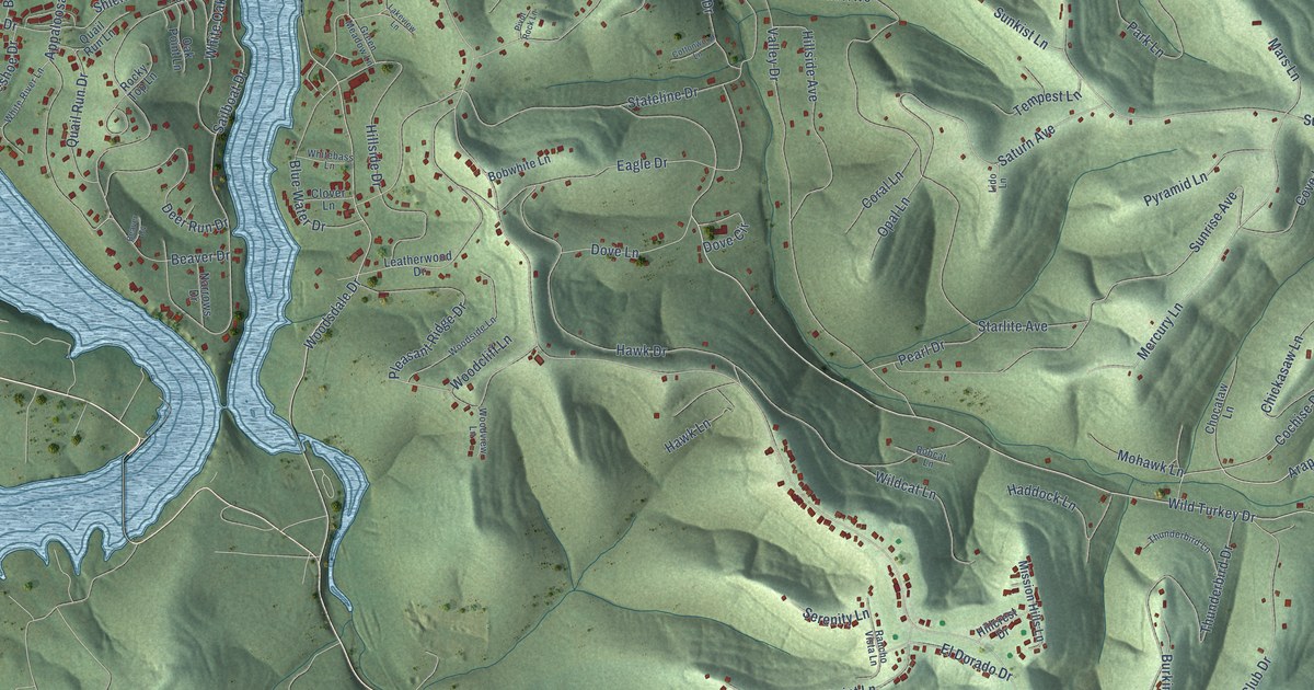
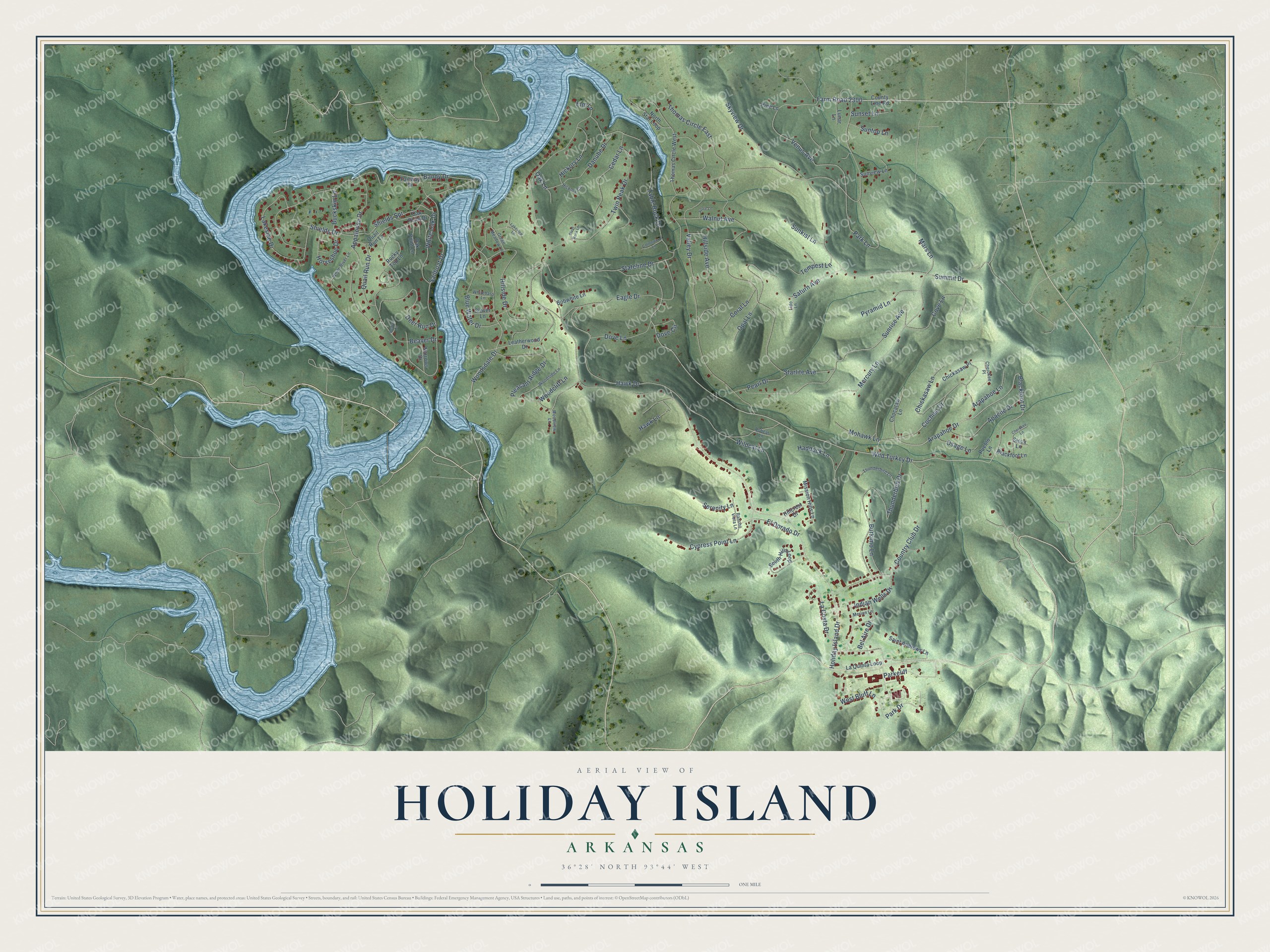
This beautifully detailed map of Holiday Island, Arkansas was created in 2026 using aerial imagery combined with modern topographical, census, street and landmark data. It's a modern aerial view of Holiday Island in Carroll County, Arkansas, that combines modern data with a vintage aesthetic. The roads feature printed names, and if you look closely you can find your exact house accurately shown in its correct location.
Explore an aerial view of Holiday Island, Arkansas
On this map you'll find Wild Turkey Drive, Blackfoot Drive, Farm Road 2300, Arapahoe Drive, Woodsdale Drive, Cochise Drive, Venus Avenue, Valley Drive, Sunrise Avenue, La Costa Drive, Sailboat Drive, Stateline Drive, and more. Each red shape is a building, so zoom in on the preview and look for yours.
Here is a piece of Holiday Island history, in the words of the record. The CALS Encyclopedia of Arkansas puts it this way: "Robert McColloch (who is most famous for purchasing the London Bridge, dismantling it, and reassembling it in Arizona) was the principal developer of Holiday Island. Lemuel H. Tull, Lee R. Reddick, and August Damon applied for the formation of the Holiday Island Suburban Improvement District and were named commissioners of the district in July 1970."
Holiday Island is a city in Carroll County.
Take a closer look at the Holiday Island map
Names on this map
These names are printed on this map.
Streets and roads: Wild Turkey Drive, Blackfoot Drive, Farm Road 2300, Arapahoe Drive, Woodsdale Drive, Cochise Drive, Venus Avenue, Valley Drive, Sunrise Avenue, La Costa Drive, Sailboat Drive, Stateline Drive.
More street names, A to Z
Apache Drive, Appaloosa Drive, Arapahoe Lane, Azure Lane, Bandy Drive, Beaver Cv, Beaver Drive, Bel Aire Drive, Blackfoot Lane, Blue Water Drive, Bobcat Lane, Bobwhite Lane, Buckskin Lane, Burkimo Lane, Cedar Lane, Cherokee Lane, Cherokee Place, Chickasaw Lane, Chickasaw Place, Chocataw Lane, Clover Lane, Coral Lane, Cottonwood Lane, Country Club Drive, County Line Road, Cove Lane, Cypress Point Lane, Danube Drive, Deer Run Drive, Dove Circle, Dove Lane, Eagle Drive, El Dorado Drive, Elm Lane, Fairway Drive, Green Meadow Lane, Haddock Lane, Hawk Drive, Hawk Lane, Hickory Circle, Hickory Lane, Hillcrest Drive, Hillside Avenue, Hillside Drive, Holiday Island Drive, Horseshoe Drive, Indian Wells Drive, Lakeside Drive, Lakeview Lane, La Quinta Loop, Leatherwood Drive, Lido Lane, Lunar Lane, Mars Lane, Mercury Lane, Merion Lane, Mission Hills Lane, Mohawk Lane, Narrows Drive, North Star Loop, Oak Lane, Oak Point Drive, Oak Point Lane, Opal Lane, Osage Lane, Park Drive, Parkeliff, Park Lane, Pearl Drive, Pine Lane, Pivot Rock Lane, Pleasant Ridge Drive, Pueblo Lane, Pyramid Lane, Quail Run Drive, Quail Run Lane, Rancho Vista Lane, Rocky Top Lane, Saint Andrews Lane, Saturn Avenue, Serenity Lane, Shields Drive, Shields Spr, Sioux Lane, Skyview Drive, South Hills Loop, Starlite Avenue, Summit Drive, Sunkist Lane, Sunset Lane, Suntop Lane, Sunview Lane, Table Rock Drive, Tempest Lane, Thomas Circle East, Thomas Circle West, Thunderbird Drive, Thunderbird Lane, Twin Peak Drive, Walnut Avenue, West Bluff Lane, Whitebass Lane, White Oak Drive, White River Lane, Wildcat Lane, Woodcliff Lane, Woodside Lane, Woodview Lane.
Created by KNOWOL in 2026. The buildings are small red shapes, the roads carry their printed names, and shaded relief shows the shape of the land. The title panel reads "AERIAL VIEW OF HOLIDAY ISLAND ARKANSAS" with 36°28' NORTH 93°44' WEST.
It suits a den, a classroom or a front hall, and it makes a gift for anyone with Holiday Island roots. Open the preview and find the block you know. See sizes and frames for the Holiday Island map.