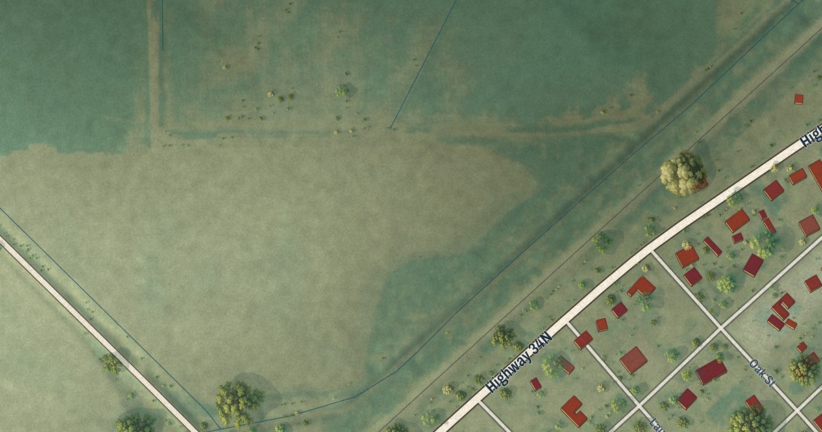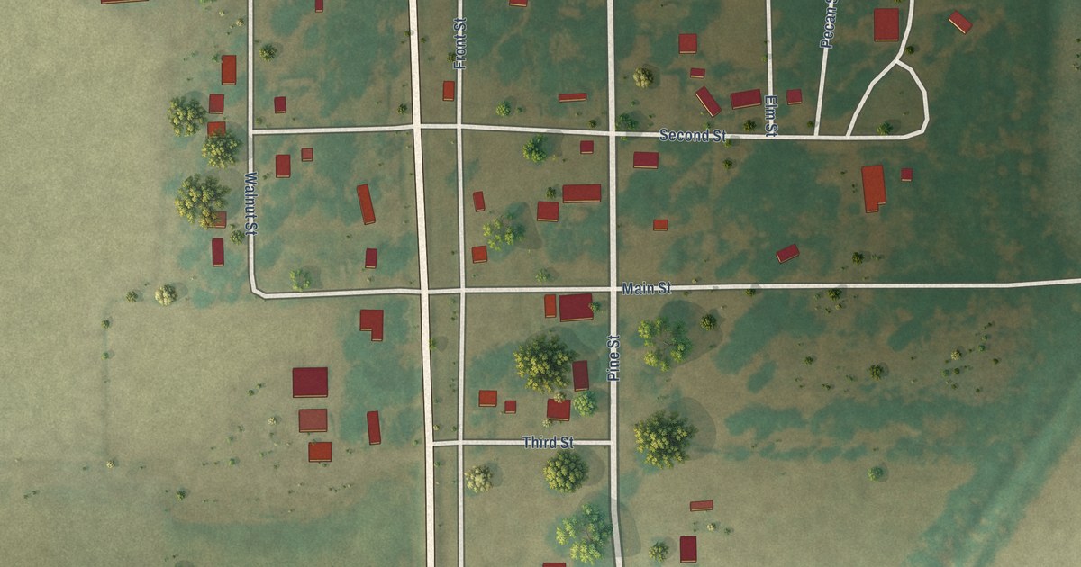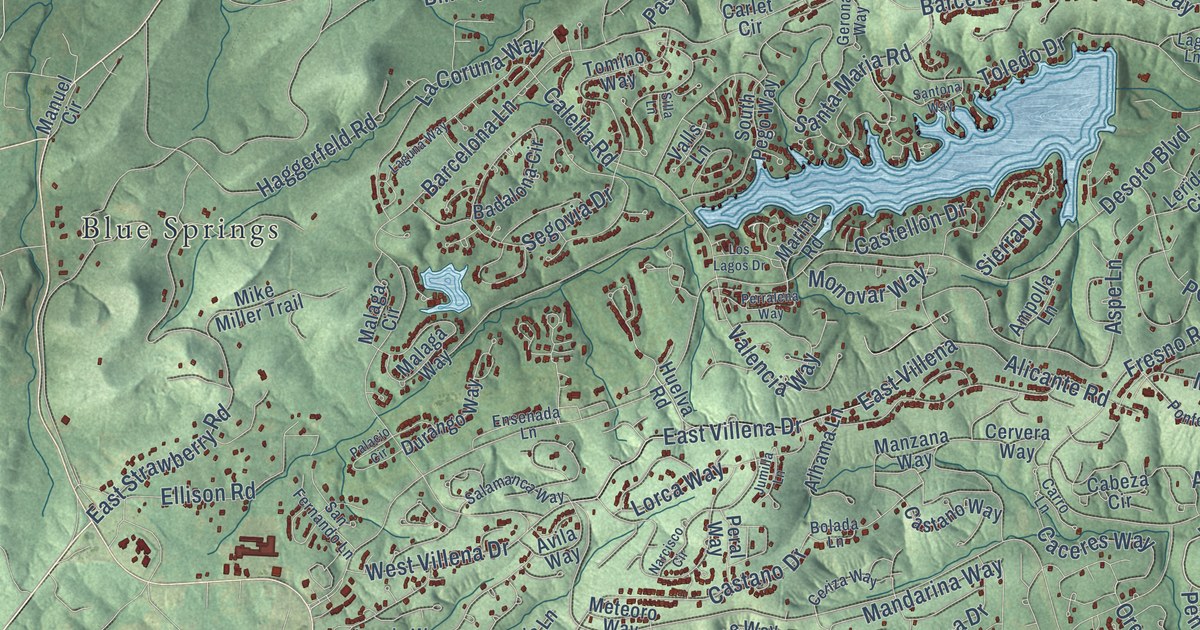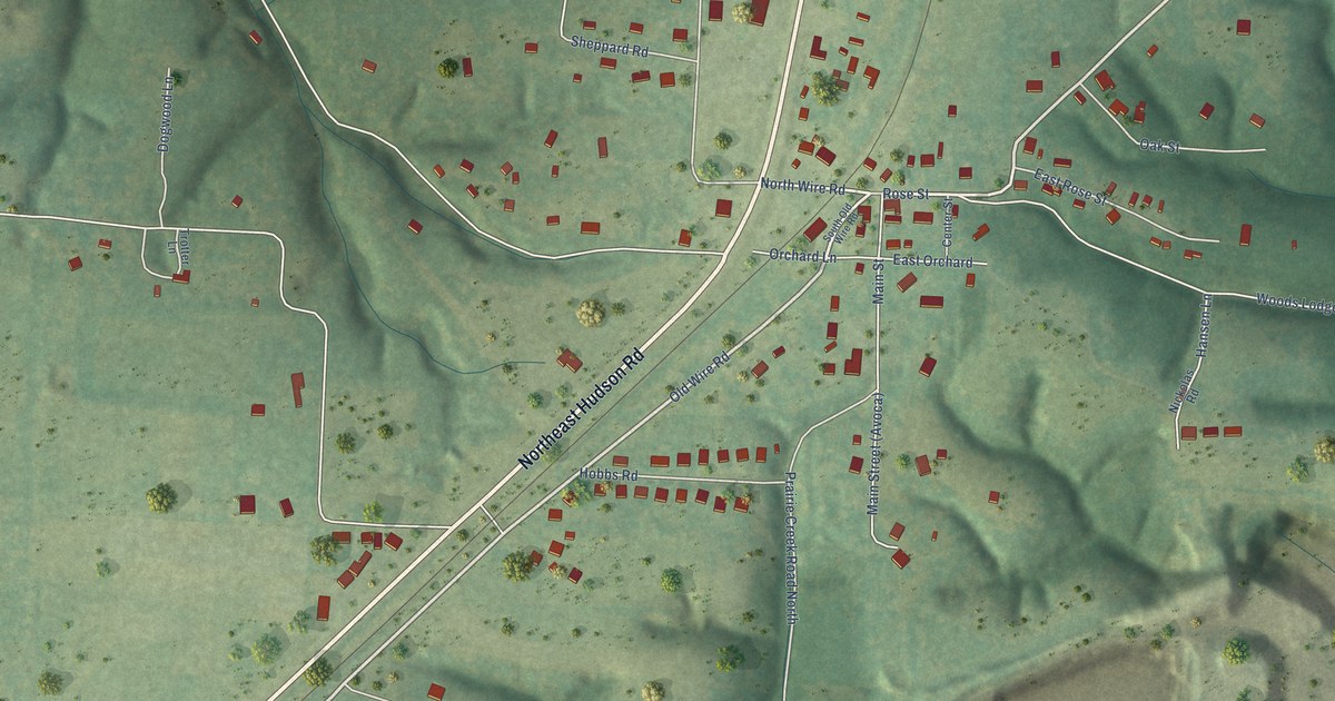
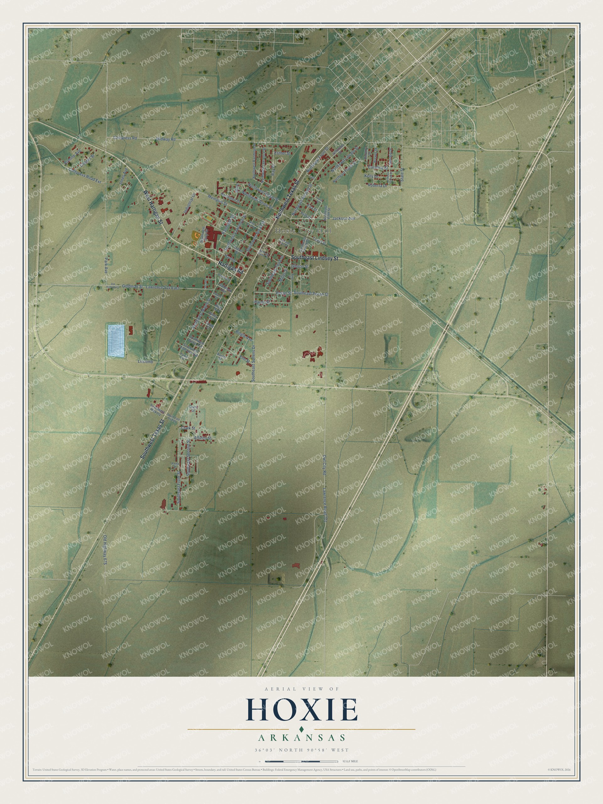
This beautifully detailed map of Hoxie, Arkansas was created in 2026 using aerial imagery combined with modern topographical, census, street and landmark data. It’s a one-of-a-kind view of Hoxie that combines accurate data with a vintage aesthetic. The map shows every building in its true location, many of the roads carry their names, and the shaded topographic relief shows the shape of the land.
Explore an aerial view of Hoxie, Arkansas
On the map you’ll find Hoxie City Hall, along with Northwest Texas Street, Southwest Texas Street, West Hartigan Street, Southeast Lindsey Street, Hartigan Road, Pecan Street, Southeast Pecan Street, Northeast Second Street, Owl City Road, Randolph Street, Ray Drive, and more. If you look closely you can even find your house accurately drawn in its correct location. Zoom in on the preview to look for yours.
Did you know this piece of Hoxie, Arkansas history?
From the Encyclopedia of Arkansas: "The town of Hoxie was created when leaders from the neighboring town of Walnut Ridge could not come to an agreement with railroad officials about of where the railroad tracks should be built."
Hoxie is a city in Lawrence County.
Take a closer look at the Hoxie map
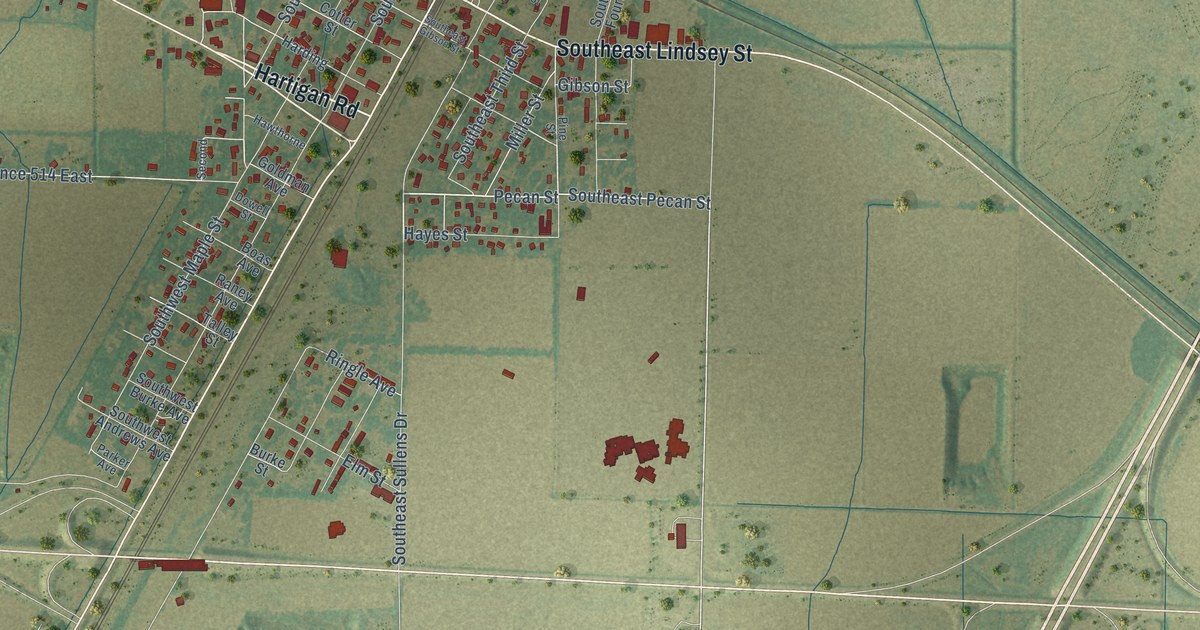
Street and place names on the Hoxie, Arkansas map
These names are printed on the map of Hoxie, Arkansas.
Places: Hoxie City Hall.
Streets and roads: Northwest Texas Street, Southwest Texas Street, West Hartigan Street, Southeast Lindsey Street, Hartigan Road, Pecan Street, Southeast Pecan Street, Northeast Second Street, Owl City Road, Randolph Street, Ray Drive, Goldman Street.
More street names, A to Z
Affinity Street, Alice, Boas Avenue, Brewer Drive, Burke Street, Carolina Street, Clare Street, Clark Street, Compress Road, Compress Road Extension, Cooper Street, Cotter Street, Dorothy Drive, Dowell Street, Elm Street, Esther Street, Eva Street, Georgia Drive, Gibson Street, Goldman Avenue, Harding, Hawthorne, Hayes Street, Horseshoe Drive, Industrial Drive, Jackson Avenue, Jefferson Street, Jones Avenue, Kelly Drive, Lawrence 514 East, Lawrence Road 701, Leo, Liscomb, Memphis Street, Midway Road, Miller Street, Northeast Fifth Street, Northeast Fourth Street, Northeast Front Street, Northeast Georgia Drive, Northeast Lincoln Street, Northwest Annie Street, Northwest Edgar Street, Northwest Lawrence Street, Northwest Randolph Street, Old Highway 63, Park Avenue, Parker Avenue, Paula Drive, Pine Street, Raney Avenue, Ringle Avenue, Roberta Drive, Romine Avenue, Ruth Street, Second, Southeast Case Street, Southeast Fourth Street, Southeast Front Street, Southeast Gibson Street, South East Hickory, Southeast Second Street, Southeast Sullens Drive, Southeast Third Street, Southwest Alice Street, Southwest Andrews Avenue, Southwest Broad Street, Southwest Burke Avenue, Southwest Hickory, Southwest Lawrence Street, Southwest Maple Street, State Street, Talley Street, Tinker Street, Towne Street, West Case Street.
See the Hoxie, Arkansas map on a wall
The Hoxie map as an 18 x 24 inch print in a black frame.

This beautifully detailed map of Hoxie makes an attractive addition to your office, library, or den, and it can even be used to teach children the geography and history of the area. It also makes a great gift for someone who left Hoxie and still calls it home. When you’re done exploring, click here to get your copy of the Hoxie map.