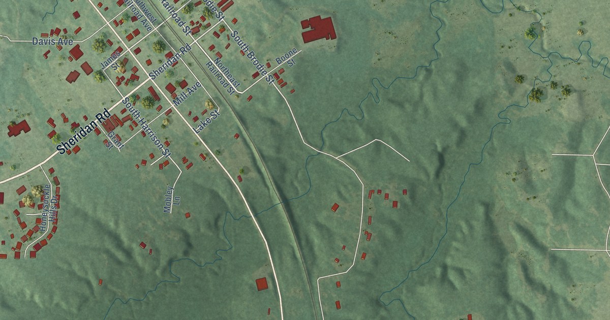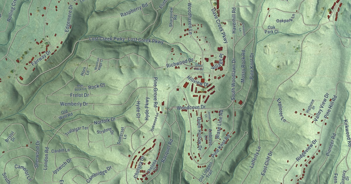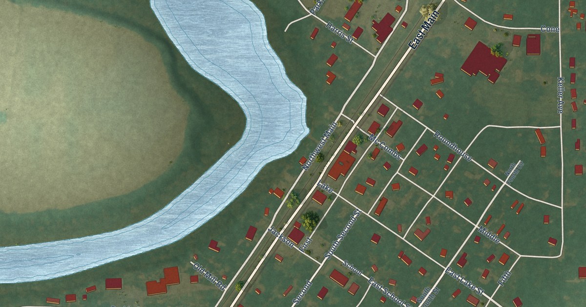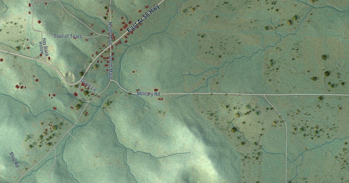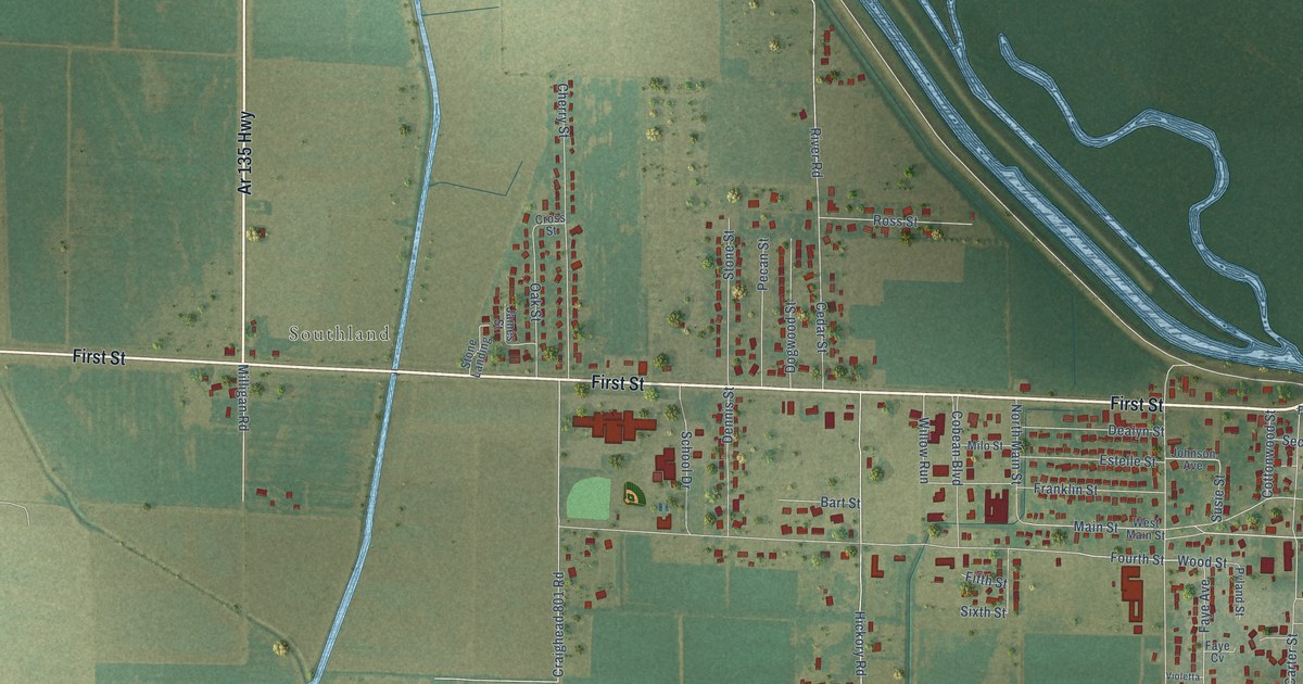
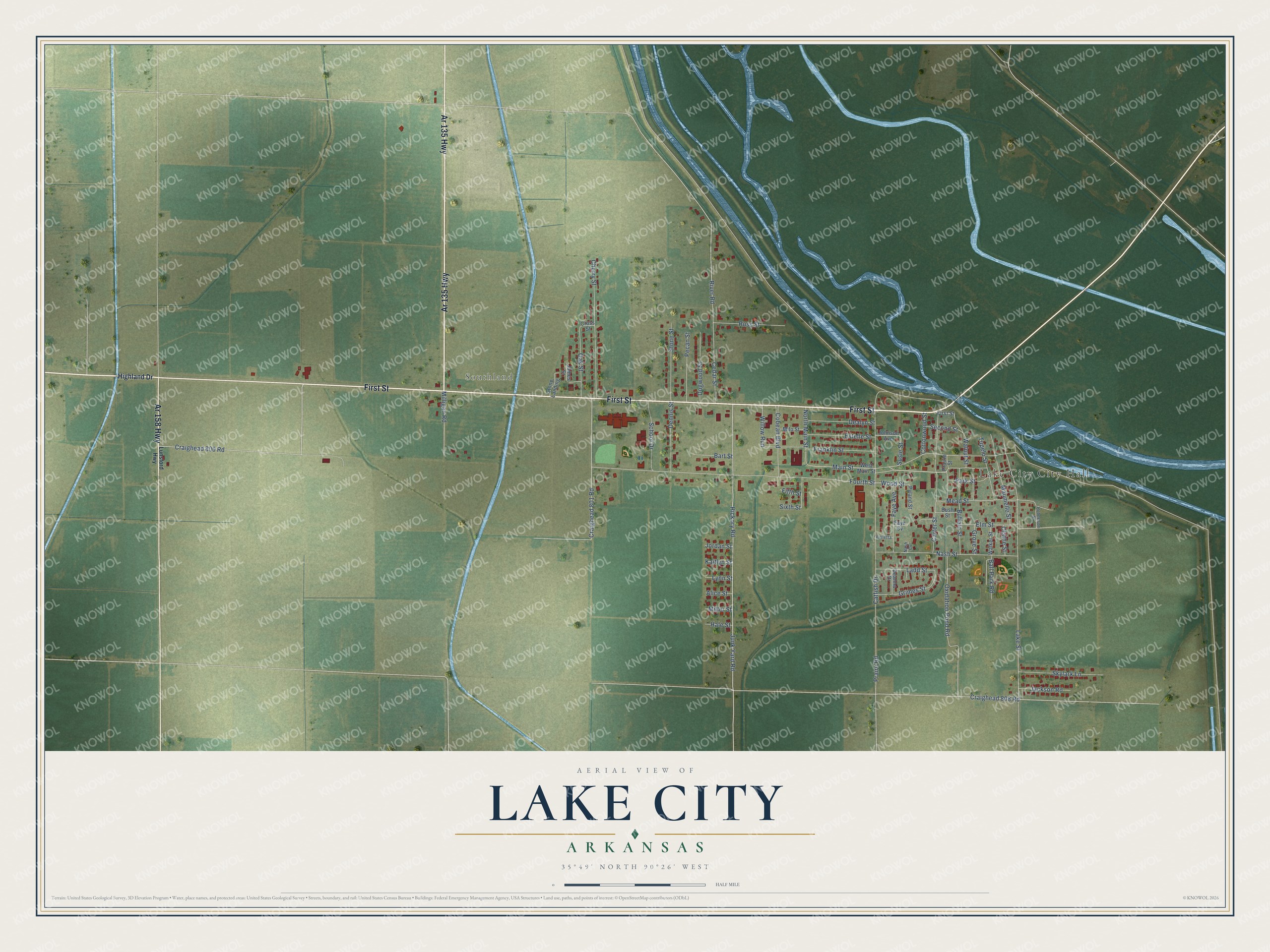
This beautifully detailed map of Lake City, Arkansas was created in 2026 using aerial imagery combined with modern topographical, census, street and landmark data. It's a modern aerial view of Lake City in Craighead County, Arkansas, that combines modern data with a vintage aesthetic. The roads feature printed names, and if you look closely you can find your exact house accurately shown in its correct location.
Explore an aerial view of Lake City, Arkansas
On this map you'll find Southland, First Street, Ar 135 Highway, Ar 158 Highway, Fourth Street, Junk Yard Road, River Road, Hickory Road, Catfish Drive, Lake Street, Main Street, Craighead 800 Road, and more. Each red shape is a building, so zoom in on the preview and look for yours.
Every town has a first chapter, and Lake City is no exception. The CALS Encyclopedia of Arkansas puts it this way: "By the following year, there was growing sentiment among the increasing population to change the name of their village from Old Town to something more substantial. As there was a seven-mile-long, mile-wide sedentary body of water on the St. Francis River at Old Town that resembled a lake, the community was renamed Lake City in 1886."
Lake City is a city in Craighead County.
Take a closer look at the Lake City map
Names on this map
These names are printed on this map.
Places: Lake City City Hall and Southland.
Streets and roads: First Street, Ar 135 Highway, Ar 158 Highway, Fourth Street, Junk Yard Road, River Road, Hickory Road, Catfish Drive, Lake Street, Main Street, Craighead 800 Road, Craighead 801 Road.
More street names, A to Z
Alice Street, Ball Park Road, Bart Street, Buffalo Street, Bush Street, Carter Street, Cedar Street, Cherry Street, Cobean Boulevard, Cottonwood Street, Craighead 808 Road, Cross Street, Dealyn Street, Deanna Drive, Dennis Street, Dogwood Street, Elm Street, Estelle Street, Faye Avenue, Faye Cv, Fifth Street, Franklin Street, Grimes Street, Grove Street, Hale Street, Highland Drive, Jackson Road, James Street, Johnson Avenue, Jordan Street, Kaitlyn Street, Ladd Street, Lunsford Highway, Lynn Street, Maumelle Street, Mead Street, Miller Street, Milligan Road, Milo Street, Nash Cv, Nash Street, North Main Street, Oak Street, Olathe Street, Oxidation Pond Road, Park Street, Pecan Street, Praire Road, Prairie Street, Pyland Street, Robertson Street, Ross Street, School Drive, Second Street, Sixth Street, Skylark Lane, Stone Landing, Stone Street, Susie Street, Tupelo Street, Violetta, Walker Street, Walnut Street, West Main Street, Willow Run, Wood Street.
Created by KNOWOL in 2026. The buildings are small red shapes, the roads carry their printed names, and shaded relief shows the shape of the land. The title panel reads "AERIAL VIEW OF LAKE CITY ARKANSAS" with 35°49' NORTH 90°26' WEST.
Hang it in the hallway, the office or the cabin, or give it to someone who left Lake City and still calls it home. Open the preview and look for a street you know. See sizes and frames for the Lake City map.