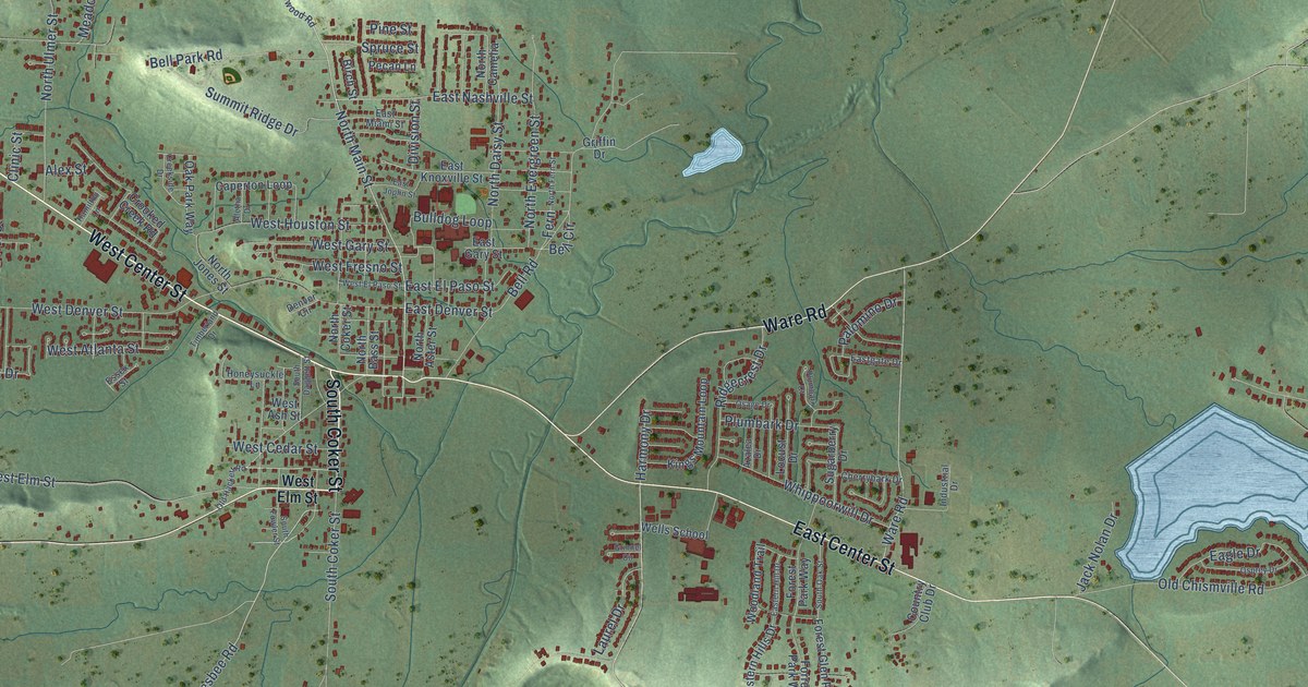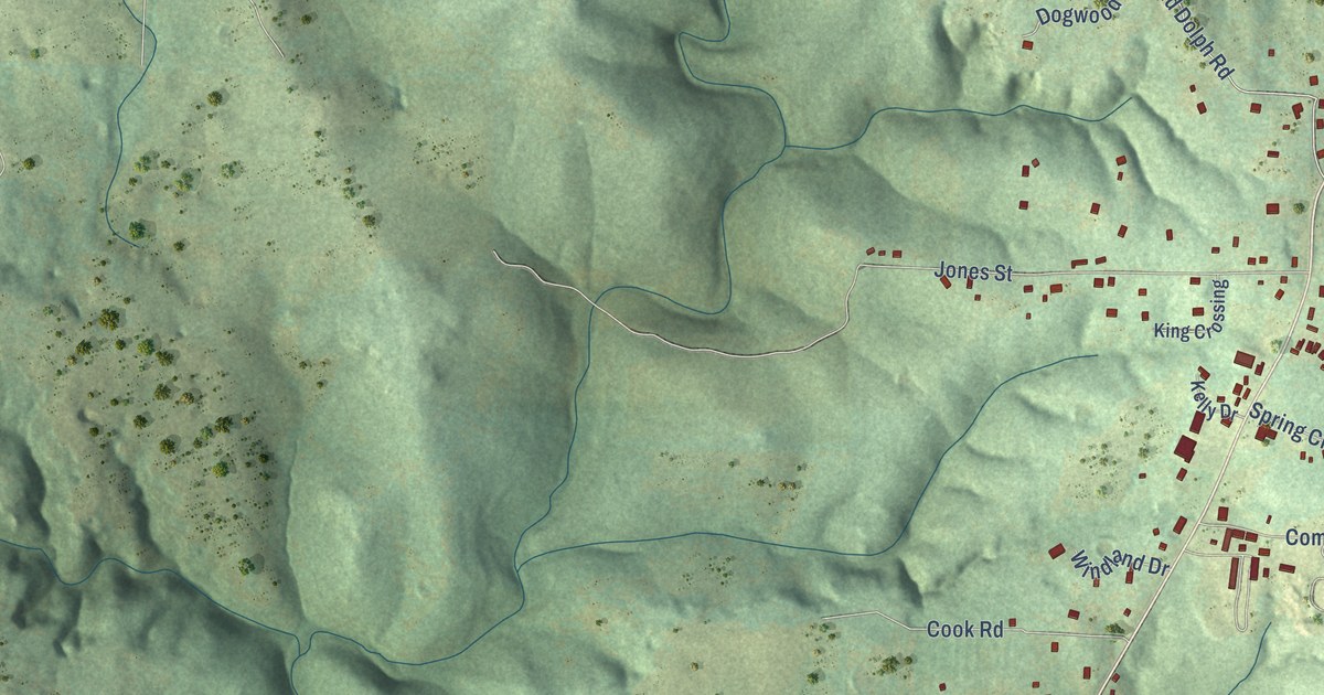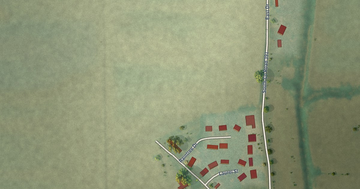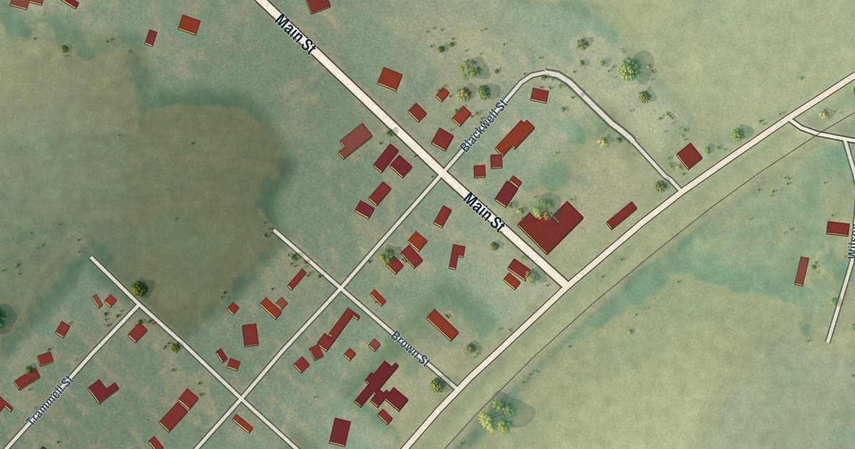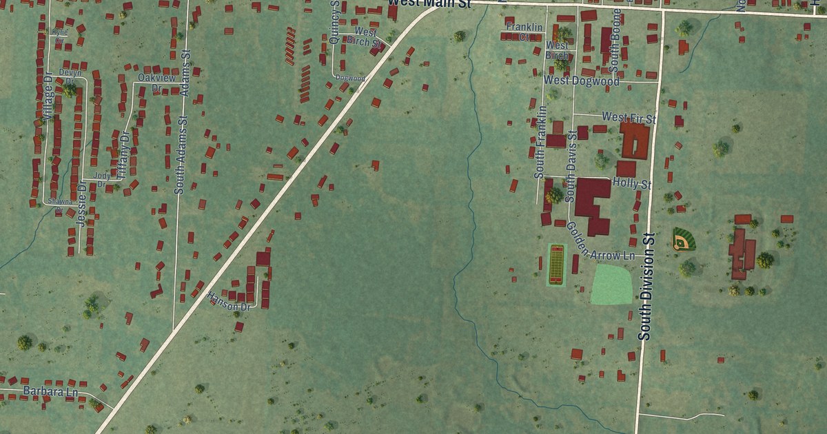
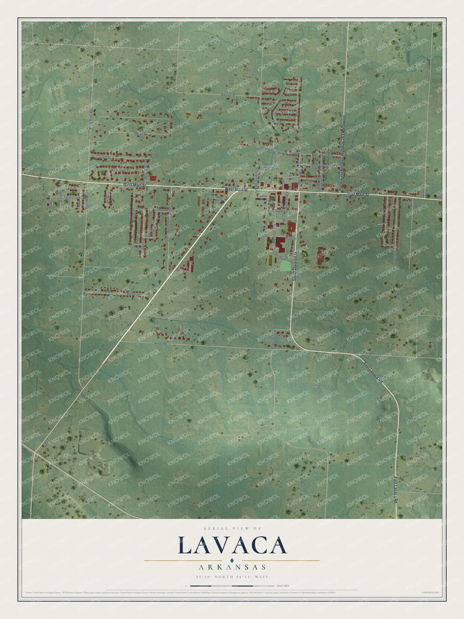
This beautifully detailed map of Lavaca, Arkansas was created in 2026 using aerial imagery combined with modern topographical, census, street and landmark data. It's a modern aerial view of Lavaca in Sebastian County, Arkansas, that combines modern data with a vintage aesthetic. The roads feature printed names, and if you look closely you can find your exact house accurately shown in its correct location.
Explore an aerial view of Lavaca, Arkansas
On this map you'll find West Main Street, East Lavaca Road, East Main Street, South Division Street, Highway 253 Northwest, North Division Street, East Houston Street, Tiffany Drive, Bitticks Street, Nixon Road, North Davis Street, Adams Street, and more. Each red shape is a building, so zoom in on the preview and look for yours.
Here is a piece of Lavaca history, in the words of the record. The CALS Encyclopedia of Arkansas puts it this way: "The land along Military Road, today’s Arkansas 96 and Lavaca’s Main Street, came to be called Military Grove in February 1870 with the establishment of a post office. By the 1880s, Military Grove was known as Oak Bower, so named for the area because of a large growth of established oak trees."
Lavaca is a city in Sebastian County.
Take a closer look at the Lavaca map
Names on this map
These names are printed on this map.
Streets and roads: West Main Street, East Lavaca Road, East Main Street, South Division Street, Highway 253 Northwest, North Division Street, East Houston Street, Tiffany Drive, Bitticks Street, Nixon Road, North Davis Street, Adams Street.
More street names, A to Z
Alice Lane, Barbara Lane, Barrington Street, Berry Ridge Road, Boone, Brewer Lane, Carly Drive, Caseys Court, Christie Lane, Connie Lane, Crocket, Devyn Drive, Dogwood, Dustin Drive, East Columbus Street, Evans Street, Franklin Court, Golden Arrow Lane, Hanson Drive, Highway 253 Northeast, Holly Street, Holt Street, Horne Street, Ithaca Street, Jessie Drive, Jody Drive, Joey Circle, Joyce Drive, Kelly Circle, Kylas Court, Kylie Circle, Monte Lane, Nancy Lane, Nikolas Street, North 18th Street, North Fourth Street, North Harding Street, North River Road, Oakview Drive, Ohio Lane, Quincy Street, Raleigh Street, Rock Circle, Rock Court, Rodeo Arena Road, Shawna Drive, Sioneledge Drive, South 14th Street, South 15th Street, South 16th Street, South Adams Street, South Boone, South Davis Street, South Franklin, South River Road, Turtle Creek, Village Drive, West Birch, West Birch Street, West Columbus, West Dogwood, West El Paso Street, West Fayetteville Street, West Fir Street, West Houston Street.
Created by KNOWOL in 2026. The buildings are small red shapes, the roads carry their printed names, and shaded relief shows the shape of the land. The title panel reads "AERIAL VIEW OF LAVACA ARKANSAS" with 35°20' NORTH 94°11' WEST.
It suits a den, a classroom or a front hall, and it makes a gift for anyone with Lavaca roots. Open the preview and find the block you know. See sizes and frames for the Lavaca map.