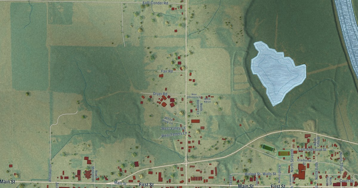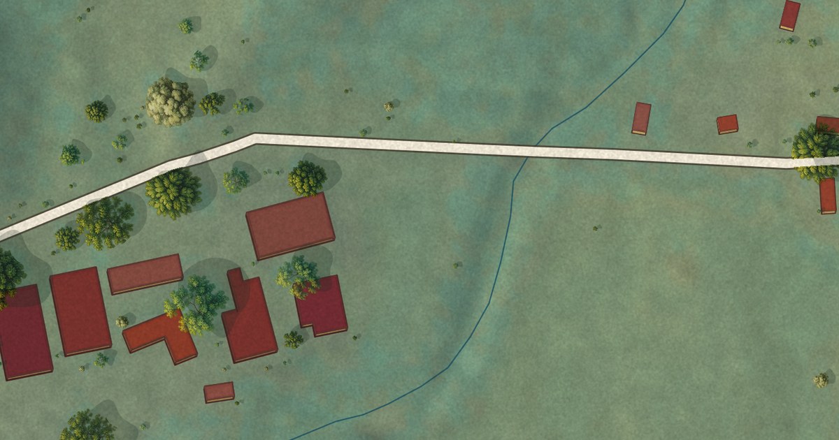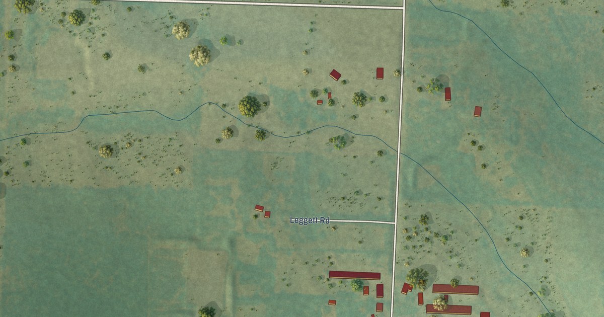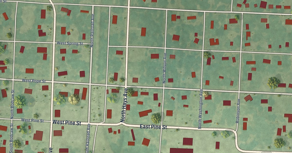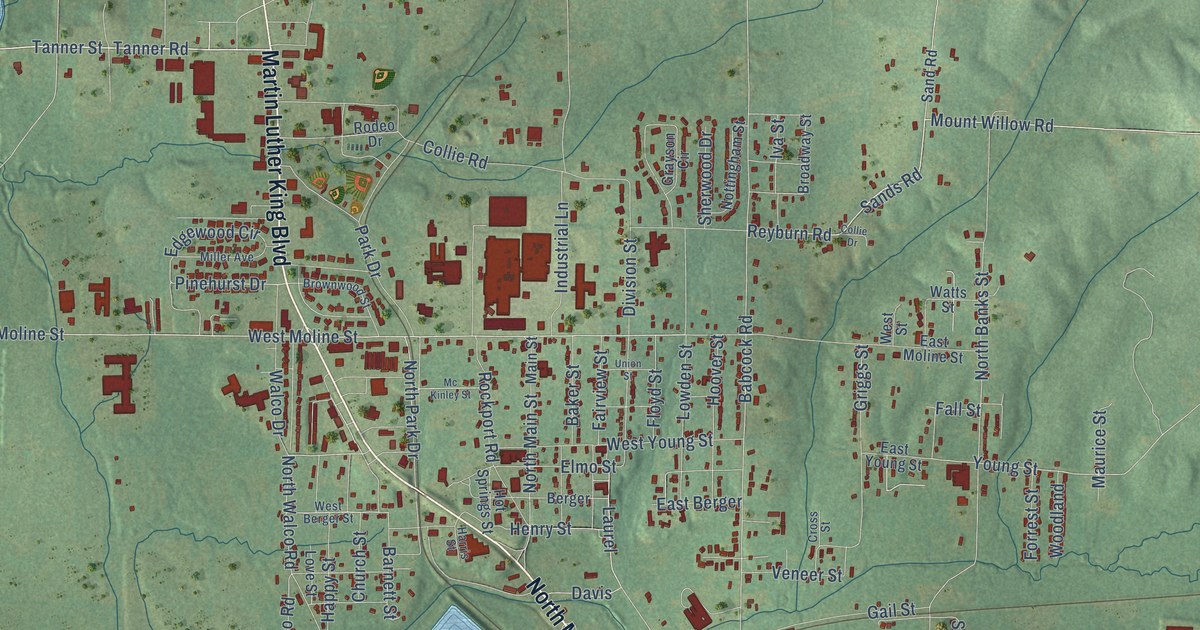
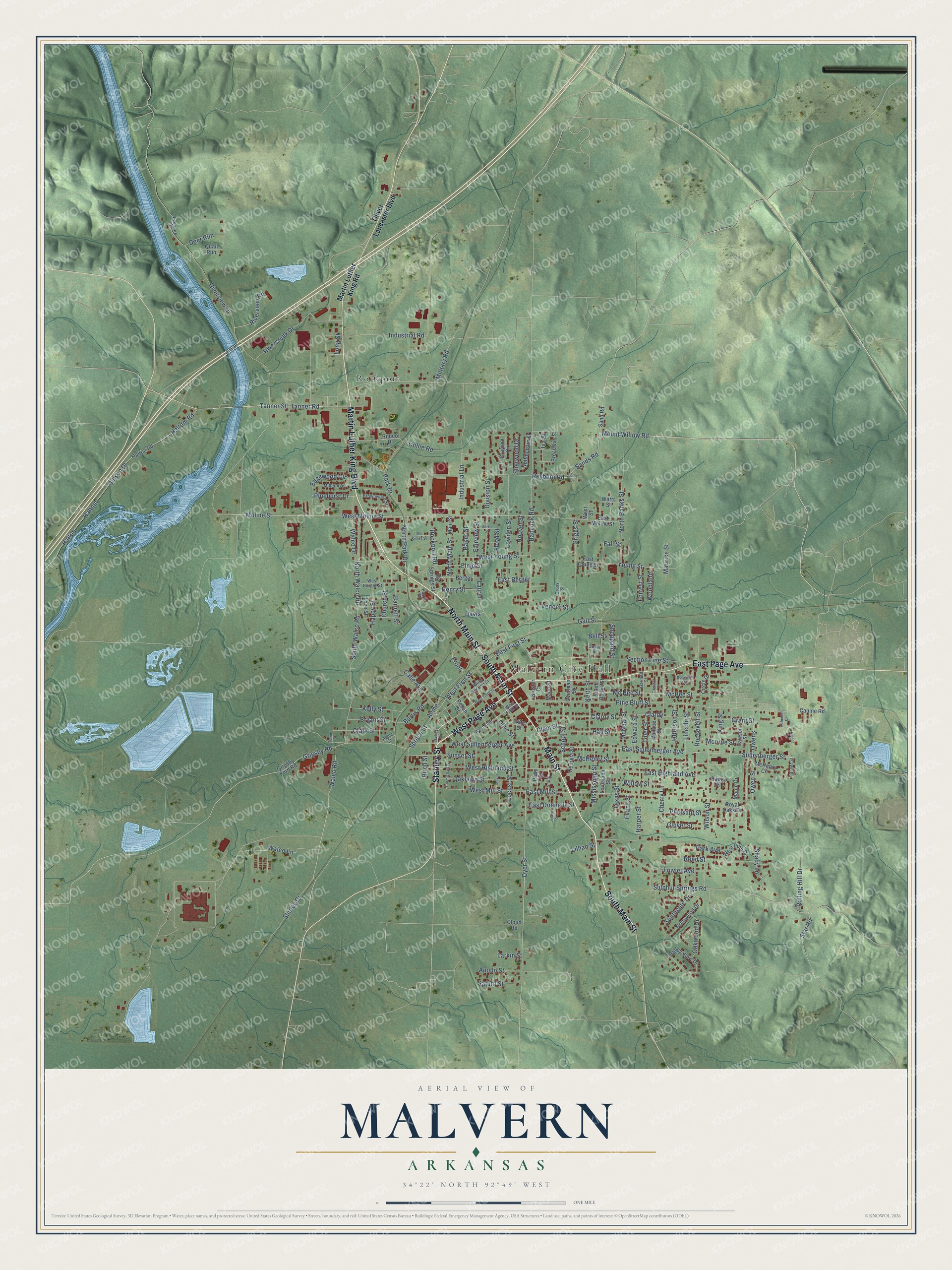
This beautifully detailed map of Malvern, Arkansas was created in 2026 using aerial imagery combined with modern topographical, census, street and landmark data. It’s a one-of-a-kind view of Malvern that combines accurate data with a vintage aesthetic. The map shows every building in its true location, many of the roads carry their names, and the shaded topographic relief shows the shape of the land.
Explore an aerial view of Malvern, Arkansas
On the map you’ll find Malvern City Hall and Rockport, along with South Main Street, Martin Luther King Boulevard, Main Street, West Page Avenue, North Main Street, Stanley Street, East Page Avenue, East Sullenberger Avenue, Section Line Street, Tanner Road, and more. If you look closely you can even find your house accurately drawn in its correct location. Zoom in on the preview to look for yours.
Did you know this about Malvern, Arkansas?
From the CALS Encyclopedia of Arkansas: "Tradition holds that the hilly terrain reminded one railway official of his native Virginia near Malvern Hill, and at his urging, the company gave the name to the new town."
Malvern is a city in Hot Spring County.
Take a closer look at the Malvern map
Street and place names on the Malvern, Arkansas map
These names are printed on the map of Malvern, Arkansas.
Places: Malvern City Hall and Rockport.
Streets and roads: South Main Street, Martin Luther King Boulevard, Main Street, West Page Avenue, North Main Street, Stanley Street, East Page Avenue, East Sullenberger Avenue, Section Line Street, Tanner Road, Tanner Street, Keith Street.
More street names, A to Z
Acme, Acme Street, Apollo Street, Babcock Road, Bailey Place, Baker Street, Barnett Street, Bayer Street, Bell Street, Berger, Birch Street, Briarwood Drive, Broadway Street, Brownwood Street, Bryant Street, Burris Road, Cabe Avenue, Canine Road, Carmichael Street, Cherry Lane, Church Street, Circle Drive, Clardy, Clardy Street, Clark Street, Clem Street, Cloud Road, Collie Drive, Collie Road, Cross Street, Davis, Dawson Street, Deer Run, Division Street, Dogwood Trail, Dyer Street, East Berger, East Donnelly Street, East First Street, East Highland Avenue, East Mill Street, East Moline Street, East Young Street, Edgewood Circle, Edward Street, Elmo Street, Evans Street, Fairview Street, Fall Street, Floyd Street, Forrest Street, Fowler Avenue, Front, Gail Street, Garland Street, Georgia Street, Gibson Drive, Gloster Court, Glover Street, Grant Street, Grayson Circle, Griggs Street, Grigsby Ford Road, Grigsby Road, Hall Street, Haltom, Haltom Road, Halton, Halton Road, Happy Street, Harper Street, Harris Street, Henry Street, Hoover Street, Hot Springs Street, Industrial Lane, Industrial Road, Iva Street, Jefferson Street, Jester Street, Kelly Street, King Street, Larkin Street, Laurel, Lillian Street, Lincoln Street, Locust Street, Long Street, Louisiana Street, Love Street, Lowden Street, Mann Street, Maple Drive, Martin Luther King Road, Maurice Street, Mc Bee Street, McBee Street, McHenry Circle, McHenry Street, Mc Kinley Street, McNeal Street, Meyer, Military Road, Miller Avenue, Mississippi Street, Moline Street, Monroe Street, Mount Willow Road, North Banks Street, North Park Drive, North Walco Road, Nottingham Street, Oaklawn Street, Oakwood Drive, Oliver Lancaster Boulevard, Olive Street, Orchard Drive, Overman Street, Owens, Owen Street, Park Avenue, Park Drive, Pate Street, Pecan Street, Pine Bluff Street, Pinehurst Drive, Pleasant Street, Potts Street, Quail Run, Reed Street, Reyburn Road, Rivercreek Drive, Riverpark Drive, Riverview Drive, Riverview Road, Rockport Road, Rodeo Drive, Rolling Hill Drive, Roosevelt Street, Royal Oaks Drive, Sand Road, Sands Road, Saturn Street, Scheider Drive, Schnider Road, School Street, Shady Lane, Sheppard Street, Sherwood Drive, Shirley Drive, Smith, South Banks Street, Southgate Drive, South Walco Road, Spruce Street, Star Road, Sullenberger Street, Sulphur Springs Road, Sunset Street, Susan Street, Texas Street, Toler Street, Turner Street, Union Street, Valley View Drive, Veneer Street, Walco Drive, Walco Lane, Walco Road, Wallace Street, Watts Street, West Berger Street, West Fifth, West Fifth Street, West First Street, West Highland Street, West Mill Street, West Moline Street, West Pine Drive, West Second Street, West Street, West Sullenberger Avenue, West Third Street, West Young Street, Willow Street, Wilson Street, Woodland, Young Street.
See the Malvern, Arkansas map on a wall
The Malvern map as an 18 x 24 inch print in a black frame.

This beautifully detailed map of Malvern makes an attractive addition to your office, library, or den, and it can even be used to teach children the geography and history of the area. It also makes a great gift for anyone who grew up in Malvern or moved away. When you’re done exploring, click here to get your copy of the Malvern map.