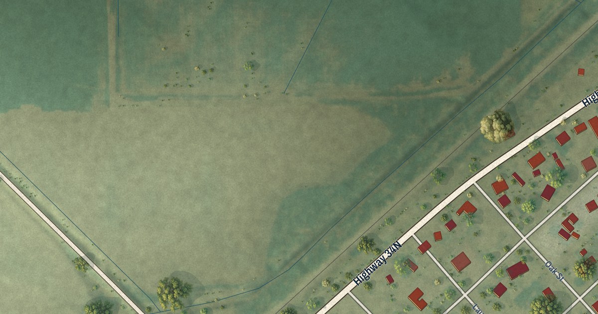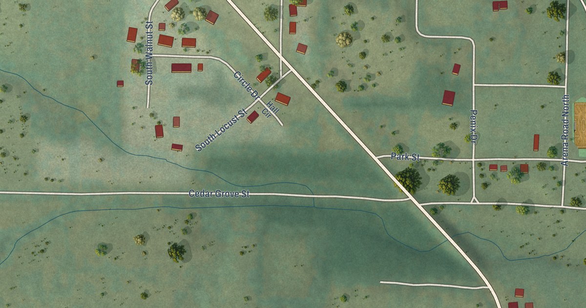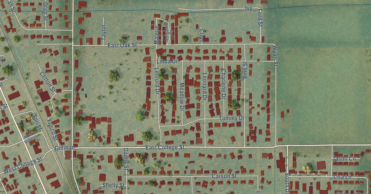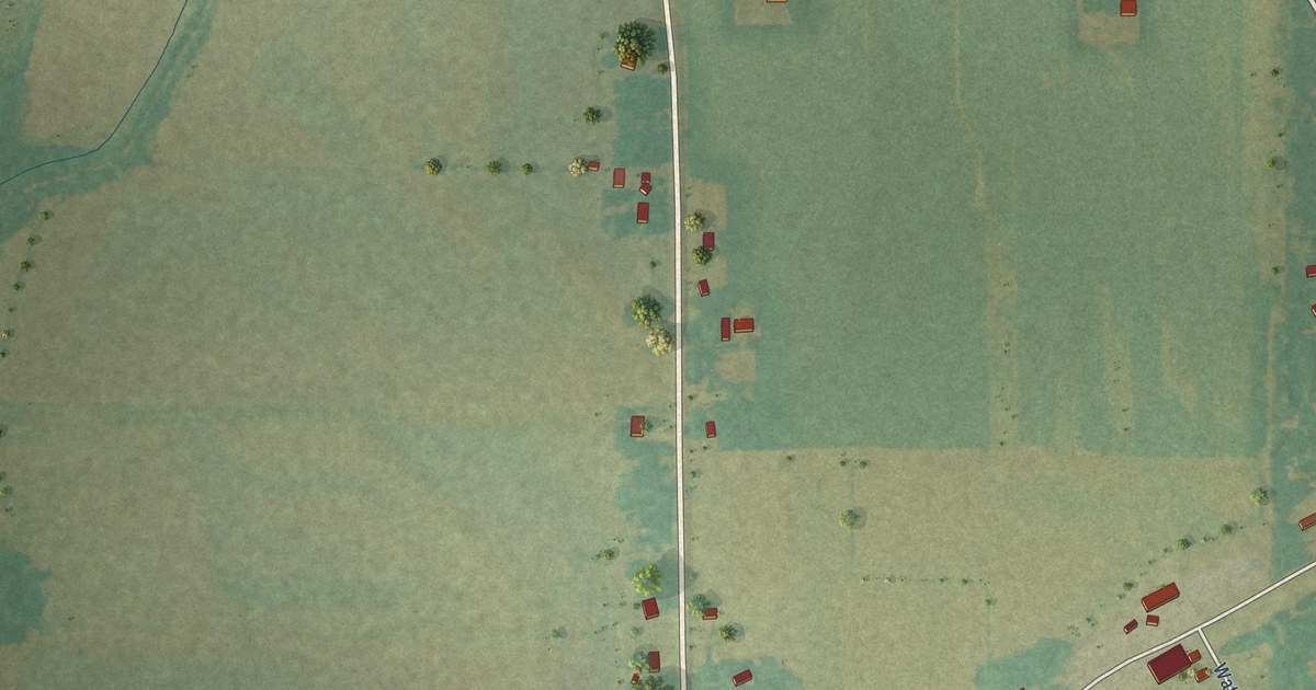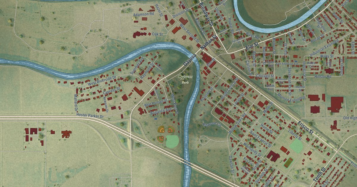
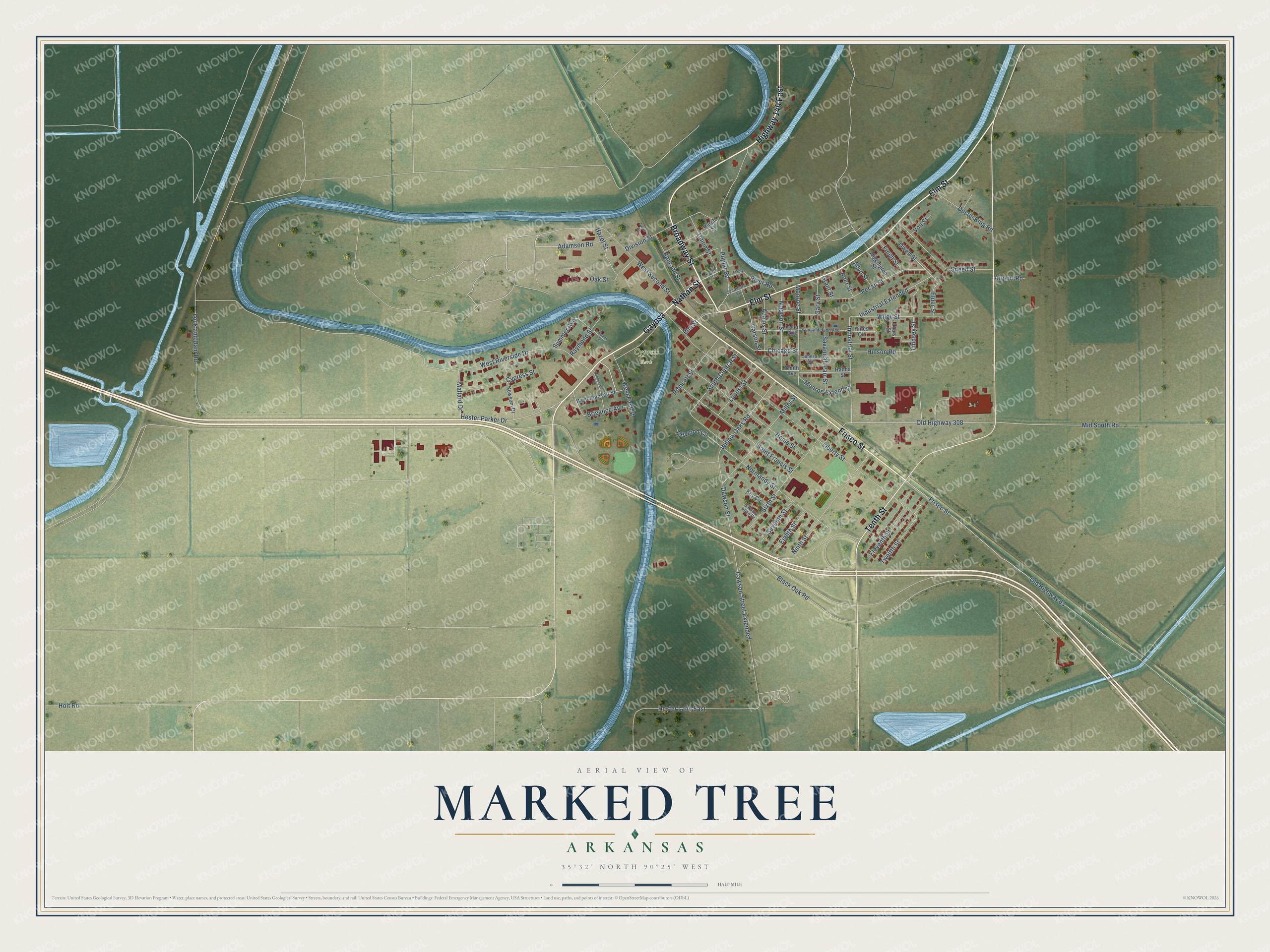
This beautifully detailed map of Marked Tree, Arkansas was created in 2026 using aerial imagery combined with modern topographical, census, street and landmark data. It's a modern aerial view of Marked Tree in Poinsett County, Arkansas, that combines modern data with a vintage aesthetic. The roads feature printed names, and if you look closely you can find your exact house accurately shown in its correct location.
Explore an aerial view of Marked Tree, Arkansas
On this map you'll find Cypress Park, Frisco Street, Nathan Street, Gayosa, Elm Street, Tenth Street, Highway 140 East, Broadway Street, Chicago Street, Monroe Extended, Industrial Extended, Wiley Street, and more. Each red shape is a building, so zoom in on the preview and look for yours.
Here is a piece of Marked Tree history, in the words of the record. The CALS Encyclopedia of Arkansas puts it this way: "Although the marked tree for which the town was named fell into the river during a flood in 1890, a tree was found in the river in 1971 that is believed to be the same tree. It is on display in Marked Tree with a historical marker."
Marked Tree is a city in Poinsett County.
Take a closer look at the Marked Tree map
Names on this map
These names are printed on this map.
Places: Cypress Park.
Streets and roads: Frisco Street, Nathan Street, Gayosa, Elm Street, Tenth Street, Highway 140 East, Broadway Street, Chicago Street, Monroe Extended, Industrial Extended, Wiley Street, Hester Parker Drive.
More street names, A to Z
Adamson Road, Adams Street, Ader Street, Airport Road, Allyn Street, Barbara Allen Drive, Black Oak Road, Brigance Avenue, Burch Street, Carson Street, Cypress Street, Davis Street, Dawson Street, Dawson Street Extended, Division Street, Dustin King Road, Eighth Street, Elder Street, Eleventh Street, Finch Street, Gary Street, Grant Street, Hanna Street, Hazel Street, Henderson Street, Hester Lane East, Hines Circle, Hinson Road, Holt Road, Home Street, Industrial Street, Johnson Avenue, Key Circle, Liberty Street, Lindsey Street, Lock and Dam Road, Locust Street, Louis Street, Madison Street, Mallard Drive, Maple Street, Mid South Road, Miller Street, Monroe Street, Newsom Drive, Ninth Street, Normandy Street, Oak Street, Old Highway 63, Old Highway 308, Owen Street, Pecan Street, Poinsett Street, Poplar Road, Railroad Street, Raymond Street, Rittwood Circle, River Road, Saint Francis Street, Sam Anderson Avenue, Savannah Parr Street, Seventh Street, Sixth Street, Smith Avenue, Sneed Street, South Central Street, Summer Avenue, Sycamore Street, Twelfth Street, Tyler Avenue, Union Street, Von Street, West First Street, West Poinsett Street, West Riverside Drive, West Second Street, Wiggington Street, Willow Oaks Road, Woody Street.
Created by KNOWOL in 2026. The buildings are small red shapes, the roads carry their printed names, and shaded relief shows the shape of the land. The title panel reads "AERIAL VIEW OF MARKED TREE ARKANSAS" with 35°32' NORTH 90°25' WEST.
It suits a den, a classroom or a front hall, and it makes a gift for anyone with Marked Tree roots. Open the preview and find the block you know. See sizes and frames for the Marked Tree map.