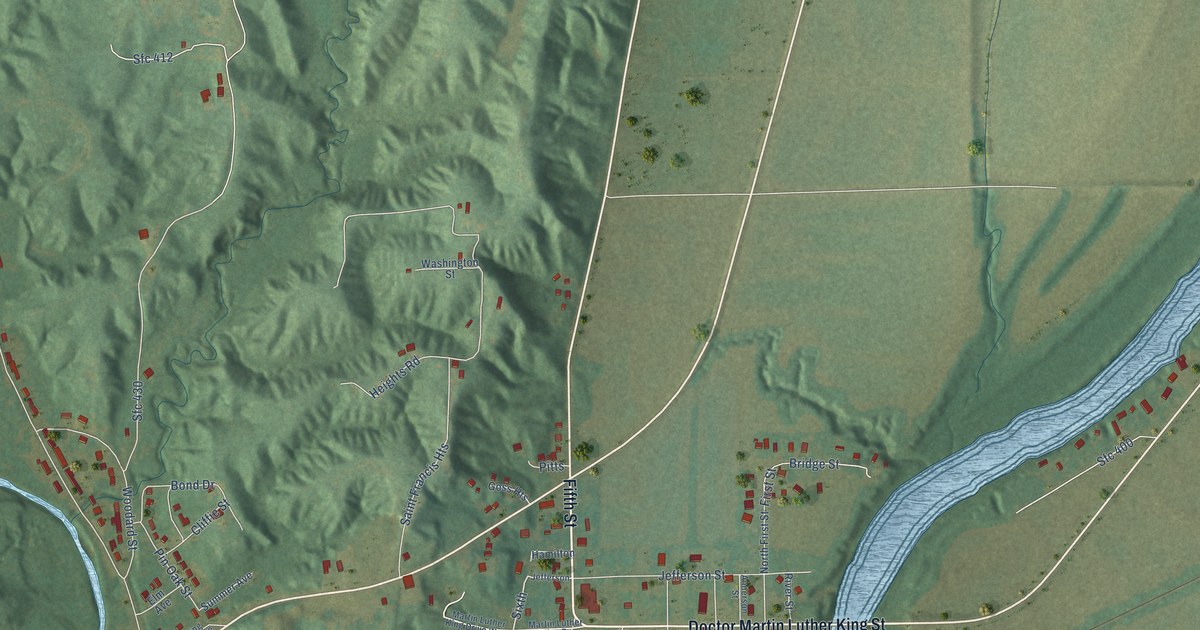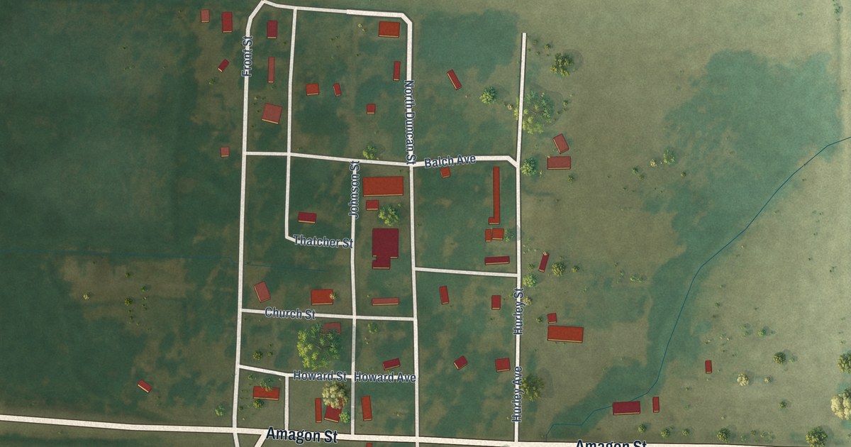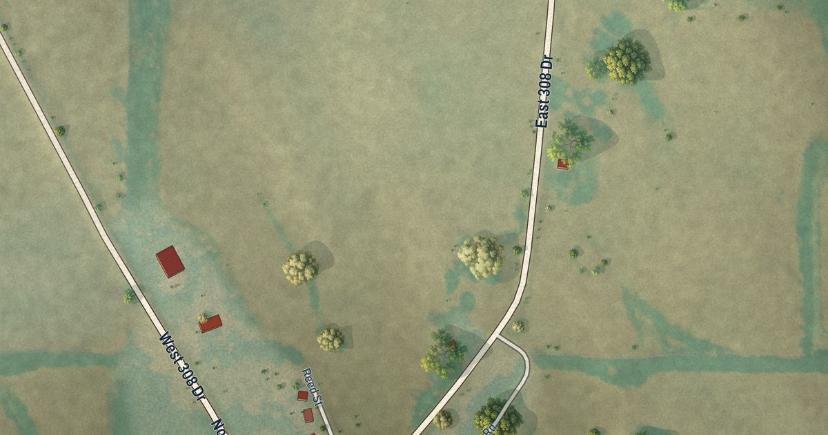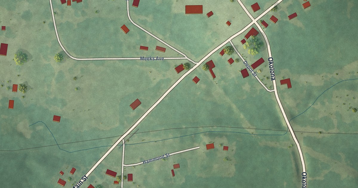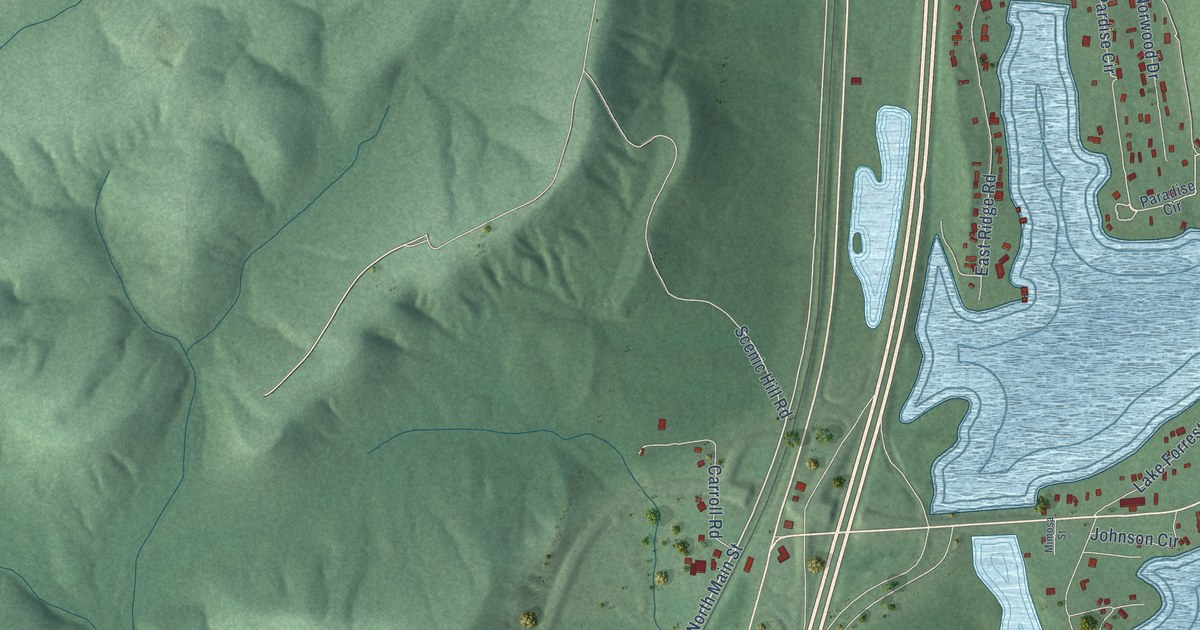
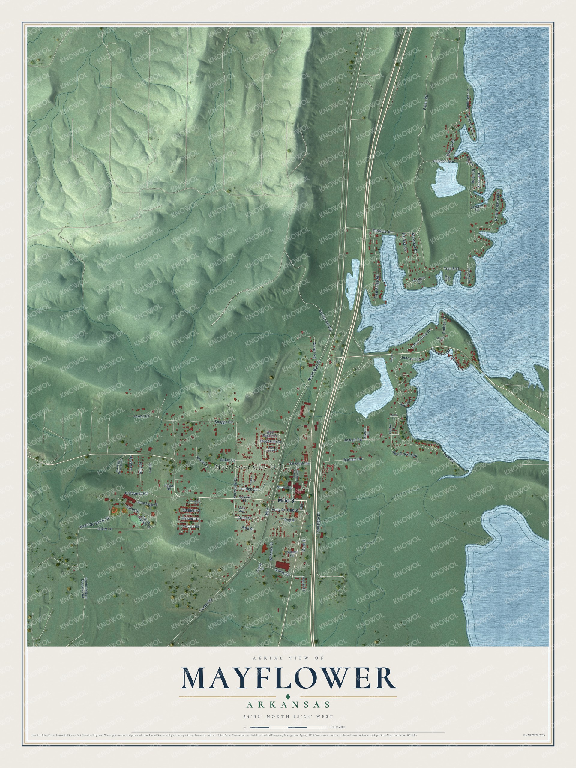
This beautifully detailed map of Mayflower, Arkansas was created in 2026 using aerial imagery combined with modern topographical, census, street and landmark data. It's a modern aerial view of Mayflower in Faulkner County, Arkansas, that combines modern data with a vintage aesthetic. The roads feature printed names, and if you look closely you can find your exact house accurately shown in its correct location.
Explore an aerial view of Mayflower, Arkansas
On this map you'll find Mayflower City Hall, Miller Street, North Main Street, Northside Drive, Cross Street, Main, Interstate Drive, Snuggs Circle, Jackson Avenue, Dam Road, Center Road, North Dogwood Drive, and more. Each red shape is a building, so zoom in on the preview and look for yours.
Every town has a first chapter, and Mayflower is no exception. The CALS Encyclopedia of Arkansas puts it this way: "Mail and travelers were carried by stagecoach, and people stayed at the inns and hotels in town during trips from Little Rock to Clinton (Van Buren County), forty-nine miles north of Mayflower. The first Methodist church and the first Church of Christ were established in 1880."
Mayflower is a city in Faulkner County.
Take a closer look at the Mayflower map
Names on this map
These names are printed on this map.
Places: Mayflower City Hall.
Streets and roads: Miller Street, North Main Street, Northside Drive, Cross Street, Main, Interstate Drive, Snuggs Circle, Jackson Avenue, Dam Road, Center Road, North Dogwood Drive, Paradise Road.
More street names, A to Z
Ada Avenue, Baker Drive, Billy Drive, Breva Circle, Capps Road, Carroll Road, Church Street, Concord Road, Crafton Street, Dawson Cv, Durham Road, East Ridge Road, Elm, Fortner Drive, Fowler Lane, Fredonia Court, Fredrick Drive, Fuller Road, Gandy Drive, Gandy Lane, Garrett Lane, Highway 89, Holly Drive, Jackson Circle, Johnson Circle, Joseph Road, Lake Forrest Drive, Lakeview Circle, Ledrick Circle, Leona Lane, Lon Drive, Lucky Drive, Luker Lane, Mallard Lane, Mark Drive, Mimosa Street, Mitchell Street, North Deer Lane, Norwood Drive, Oak Ridge Mountain Road, Oak Street, Old Sandy Road, Paradise Circle, Pardise Circle, Park Street, Patrick Stadium Drive, Pine Tree Loop, Polo Road, Poplar, Reliance Court, Roberts Drive, Robin Drive, Satterfield Road, Scenic Hill Road, Shadell Lane, Shoreline Drive, South Ashmore Street, South Deer Lane, South Dogwood Drive, South Faulkver Meadows Road, South Starlite Road, Sublett Circle, Sunbelt Court, Suzanne, Talon Drive, Trail End, West Eagle Drive, West Old Sandy Road, West Starlite Drive, Wheeler Street, Woodside Drive.
Created by KNOWOL in 2026. The buildings are small red shapes, the roads carry their printed names, and shaded relief shows the shape of the land. The title panel reads "AERIAL VIEW OF MAYFLOWER ARKANSAS" with 34°58' NORTH 92°26' WEST.
Hang it in the hallway, the office or the cabin, or give it to someone who left Mayflower and still calls it home. Open the preview and look for a street you know. See sizes and frames for the Mayflower map.