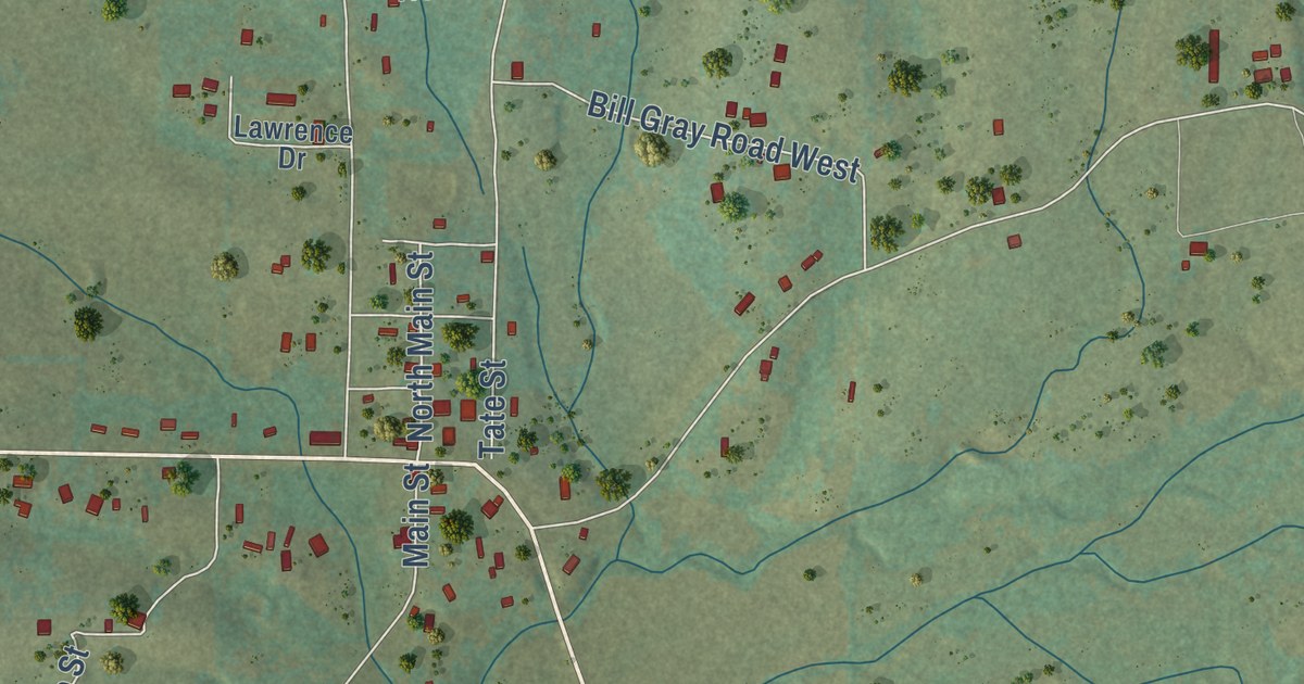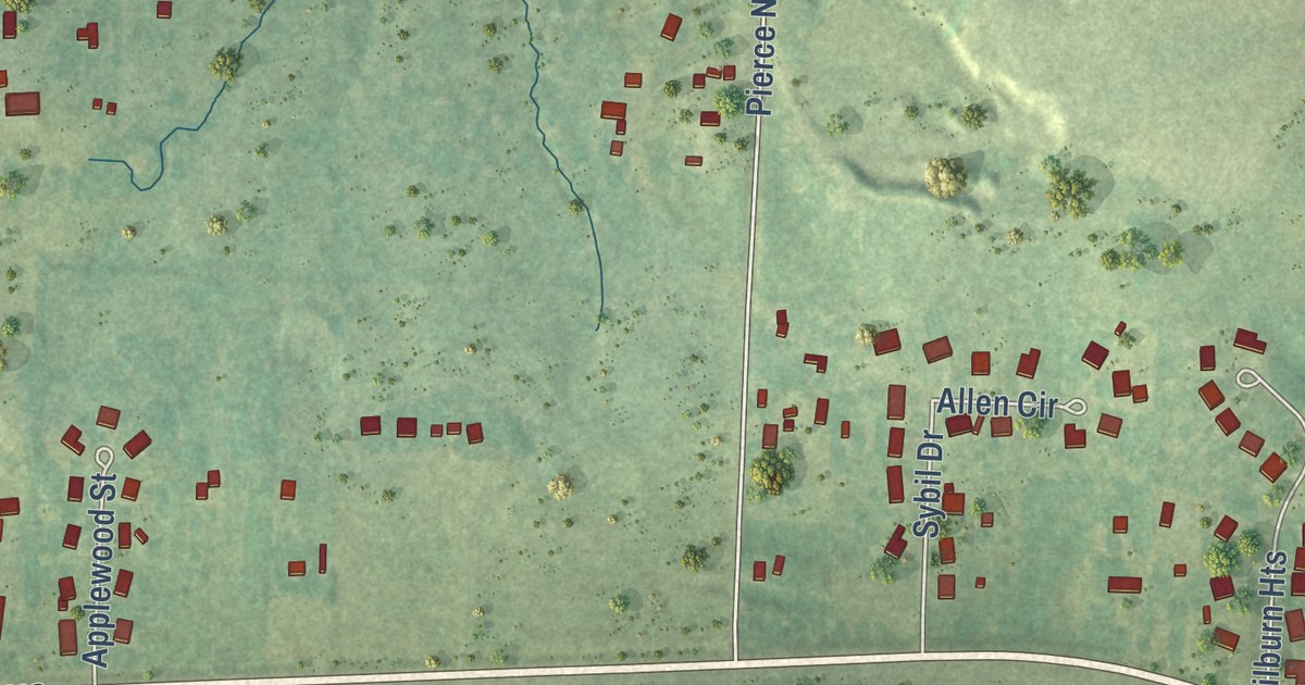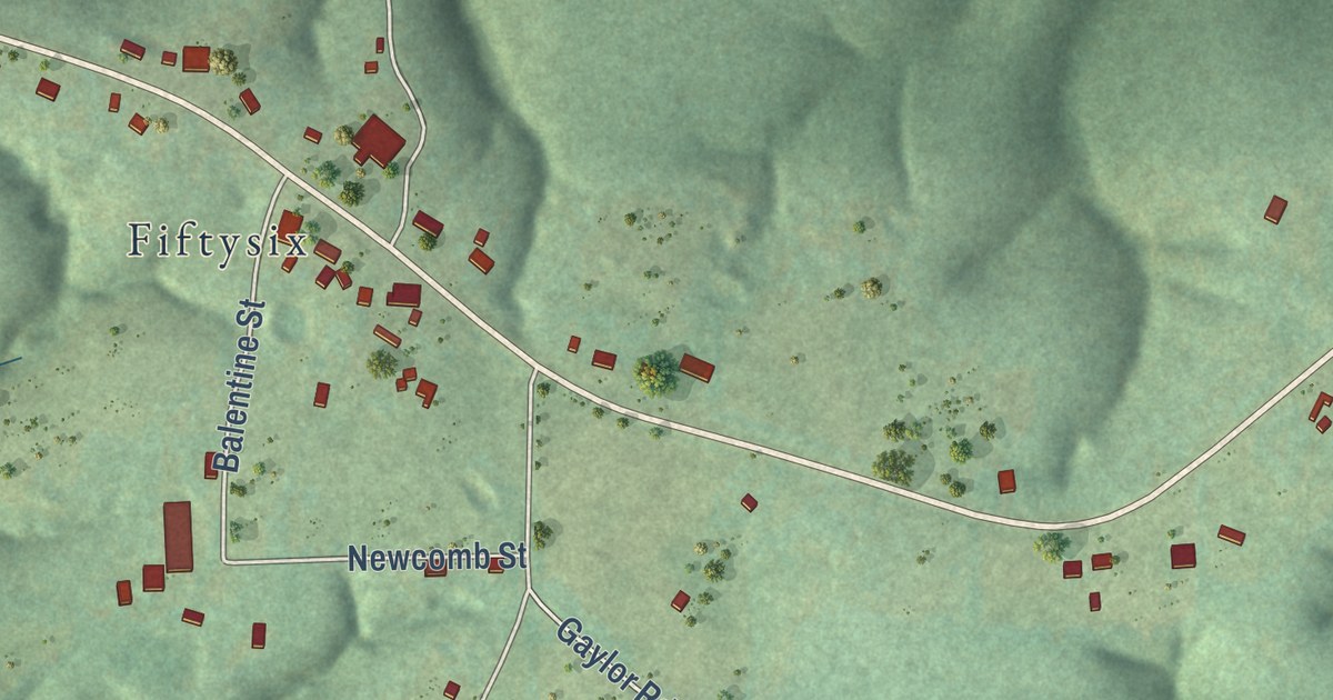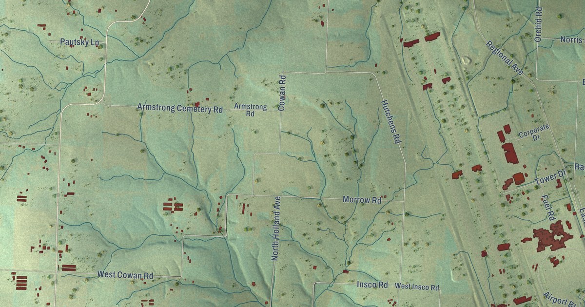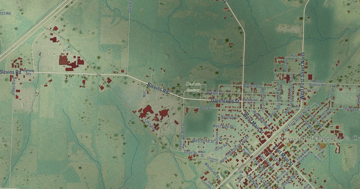
This beautifully detailed map of Prescott, Arkansas was created in 2026 using aerial imagery combined with modern topographical, census, street and landmark data. It’s a one-of-a-kind view of Prescott that combines accurate data with a vintage aesthetic. The map shows every building in its true location, many of the roads carry their names, and the shaded topographic relief shows the shape of the land.
Explore an aerial view of Prescott, Arkansas
On the map you’ll find Prescott Economic & Community Development and DeAnn Cemetery, along with East Main Street, Camden Highway, West First Street South, Blevins Road, Greenlawn Street, Delight Highway, West First Street North, Rosston Road, Washington Road, West Main Street, and more. If you look closely you can even find your house accurately drawn in its correct location. Zoom in on the preview to look for yours.
Did you know this piece of Prescott, Arkansas history?
From the Encyclopedia of Arkansas: "Controversy exists surrounding the name of the town. Most historians assume that it was named for the surveyor, but others note that railroad executives Thomas Allen and Henry Marquand had a friend of the same name for whom the city might have been named."
Prescott is a city in Nevada County.
Take a closer look at the Prescott map
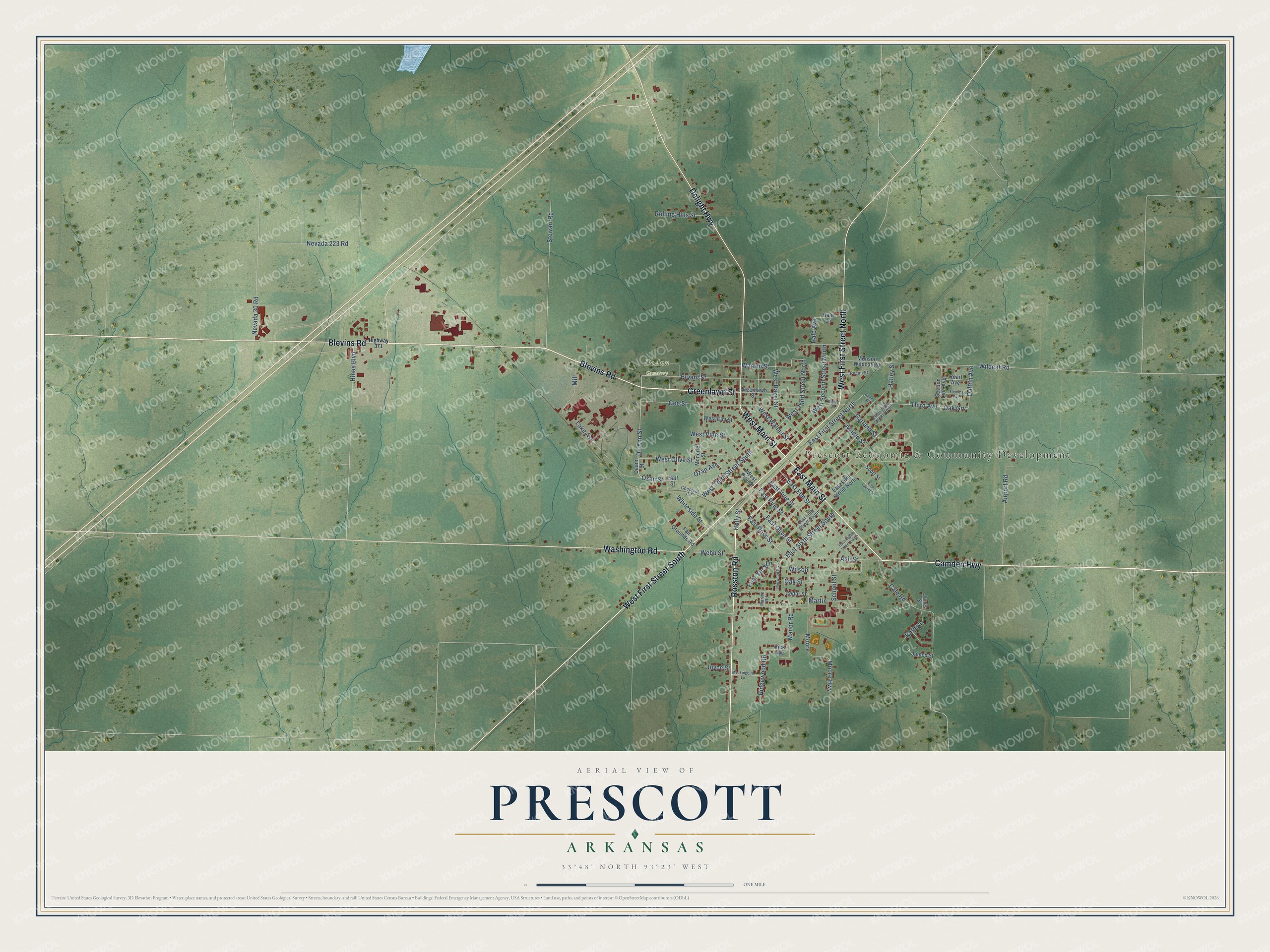
Street and place names on the Prescott, Arkansas map
These names are printed on the map of Prescott, Arkansas.
Places: Prescott Economic & Community Development and DeAnn Cemetery.
Streets and roads: East Main Street, Camden Highway, West First Street South, Blevins Road, Greenlawn Street, Delight Highway, West First Street North, Rosston Road, Washington Road, West Main Street, East Ross Street, Holly Street.
More street names, A to Z
Airport Road, Arnold Street, Ash Street, Bailey Street, Bryant Street, Cale Road, Cedar Street, Chestnut Road, Dalton Avenue, De Ann Street, Deann Street, East Eighth Street South, East Elm Street, East Fifth Street North, East Fifth Street South, East First Street North, East Laurel Street, East Olive Street, East Pine Street, East Sixth Street South, East Third Street North, East Vine Street, Fair Grounds Road, Fleming Avenue, Friar Tuck Lane, Garland Street, Gee Street, Gulley Street, Hale Avenue, Hale Lane, Hall Street, Hatley Street, Highway 371, Hines Boulevard, James Street, Jones Street, Joyce Street, Kathryn, Lake Avenue, Manor Road, Marion Road, Martin, Mill, Mockingbird Lane, Moncrief Street, Monson Wildcat Road, Moore, Moore Highway, Nevada 30 Road, Nevada 223 Road, Oak Grv, Oak Street, Ozan Avenue, Ozan Street, Pearl Avenue, Pecan Street, Ridgewood Road, Rolling Hills Street, School Street, Scott Street, Section Line Avenue, Sherwood Boulevard, Stewart Road, Third Avenue, Vick Avenue, Warren Street, Webb Street, West Elm Street, West Hazel Street, West Olive Street, West Pine Street, West Second Street North, West Third Street North, West Third Street South, West Vine Street, West Walnut Street, Whiteside Street, Wildcat Road, Wilson.
See the Prescott, Arkansas map on a wall
The Prescott map as an 18 x 24 inch print in a black frame.

This beautifully detailed map of Prescott makes an attractive addition to your office, library, or den, and it can even be used to teach children the geography and history of the area. It also makes a great gift for anyone with Prescott roots. When you’re done exploring, click here to get your copy of the Prescott map.