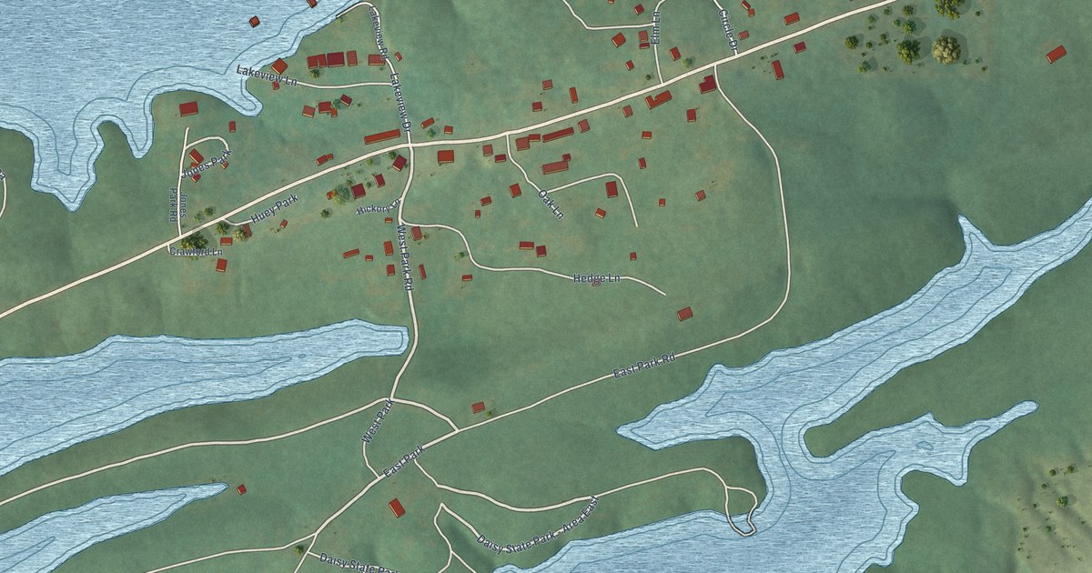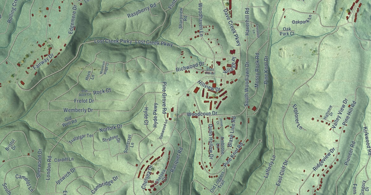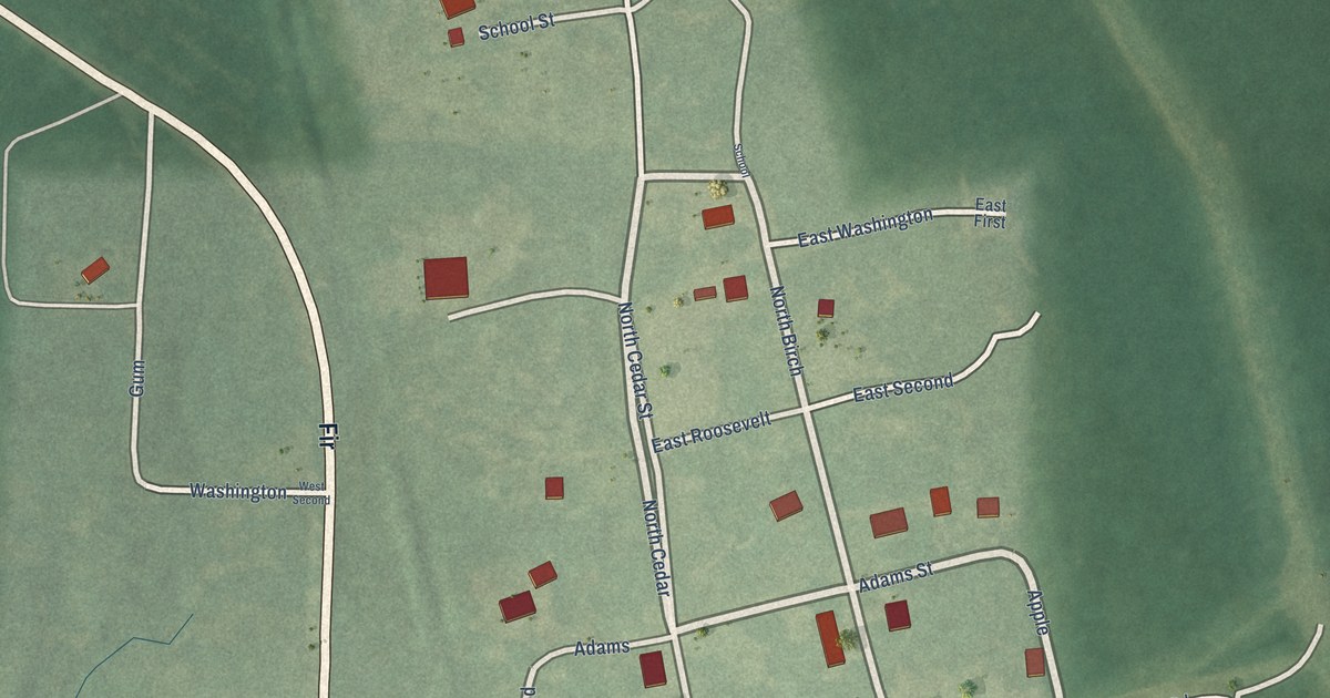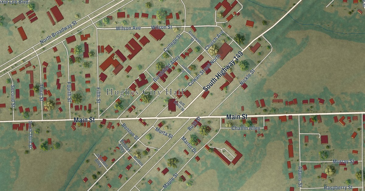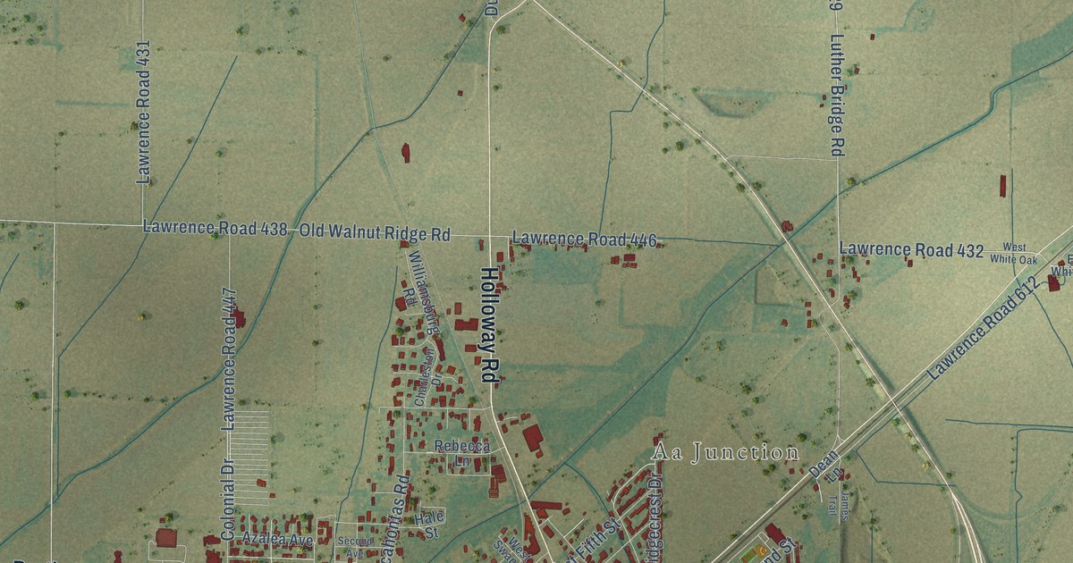
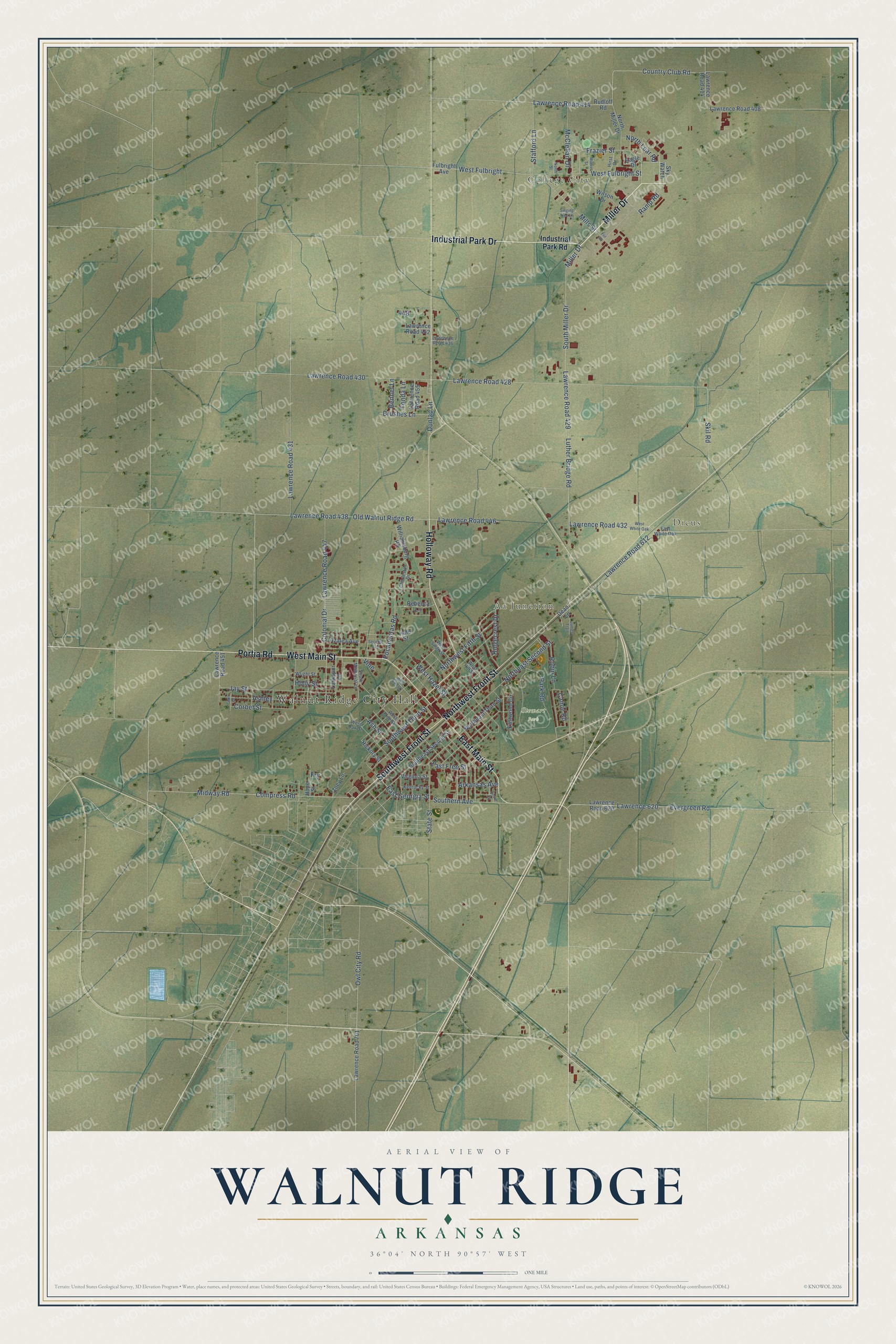
This beautifully detailed map of Walnut Ridge, Arkansas was created in 2026 using aerial imagery combined with modern topographical, census, street and landmark data. It's a modern aerial view of Walnut Ridge in Lawrence County, Arkansas, that combines modern data with a vintage aesthetic. The roads feature printed names, and if you look closely you can find your exact house accurately shown in its correct location.
Explore an aerial view of Walnut Ridge, Arkansas
On this map you'll find Walnut Ridge City Hall, College City, Dicus, Aa Junction, Stewart Park, Miller Drive, Industrial Park Drive, West Main Street, Northwest Front Street, East Main Street, Southwest Front Street, Holloway Road, and more. Each red shape is a building, so zoom in on the preview and look for yours.
Every town has a first chapter, and Walnut Ridge is no exception. The Encyclopedia of Arkansas puts it this way: "Colonel Willis Miles Ponder, a Civil War veteran from Missouri, formally founded the town of Walnut Ridge in 1875. He later served as its first mayor."
Walnut Ridge is a city in Lawrence County.
Take a closer look at the Walnut Ridge map
Names on this map
These names are printed on this map.
Places: Walnut Ridge City Hall, College City, Dicus, Aa Junction and Stewart Park.
Streets and roads: Miller Drive, Industrial Park Drive, West Main Street, Northwest Front Street, East Main Street, Southwest Front Street, Holloway Road, Portia Road, South Miller Drive, Luther Bridge Road, Frazier Street, Lawrence Road 432.
More street names, A to Z
Arkansas Avenue, Ashley, Ash Street, Azalea Avenue, Bennet Lane, Brushes Lane, Camie Road, Charleston Drive, Circle Drive, Clark Drive, Colonial Drive, Compress Road, Corbet Street, Country Club Road, Dean Lane, Dunlap Lane, Eagle Drive, East Free Street, East Georgia Street, East White Oak, Eastwood Circle, Evergreen Road, Frit Road, Fry, Fulbright Avenue, Hale Street, Hickory Street, Hirst Drive, Holly Street, Hope Street, Industrial Park Road, James Trail, Jay Street, Kentucky Street, Larkspur Lane, Lawrence 620, Lawrence Road 408, Lawrence Road 414, Lawrence Road 428, Lawrence Road 429, Lawrence Road 430, Lawrence Road 431, Lawrence Road 436, Lawrence Road 438, Lawrence Road 442, Lawrence Road 446, Lawrence Road 447, Lawrence Road 451, Lawrence Road 455, Lawrence Road 612, Lawrence Road 620, Lawrence Road 701, McClellan Drive, Midway Road, Mills Street, Moore Street, Northeast Second Street, Northeast Third Street, North Lear Road, North Miller Drive, North Street, Northwest Fifth Street, Old Walnut Ridge Road, Owl City Road, Park Road, Pocahontas Road, Ramp Road, Rebecca Lane, Ridgecrest Drive, Robin Lane, Rudloff Road, Second Avenue, Singing Tree Lane, Skil Road, Sky Watch, Southeast Second Street, Southern Avenue, South Memorial Lane, Southwest Third Street, Stafford Lane, State Street, Tonda Lane, Vine, Virginia Street, West Elm Street, West Free Street, West Fulbright, West Fulbright Street, West Hazel Street, West Hill Street, West Oak Street, West Swan Street, West White Oak, Williamsburg Road, Wilson Drive, Wright Street, Zoey Lane.
Created by KNOWOL in 2026. The buildings are small red shapes, the roads carry their printed names, and shaded relief shows the shape of the land. The title panel reads "AERIAL VIEW OF WALNUT RIDGE ARKANSAS" with 36°04' NORTH 90°57' WEST.
Hang it in the hallway, the office or the cabin, or give it to someone who left Walnut Ridge and still calls it home. Open the preview and look for a street you know. See sizes and frames for the Walnut Ridge map.