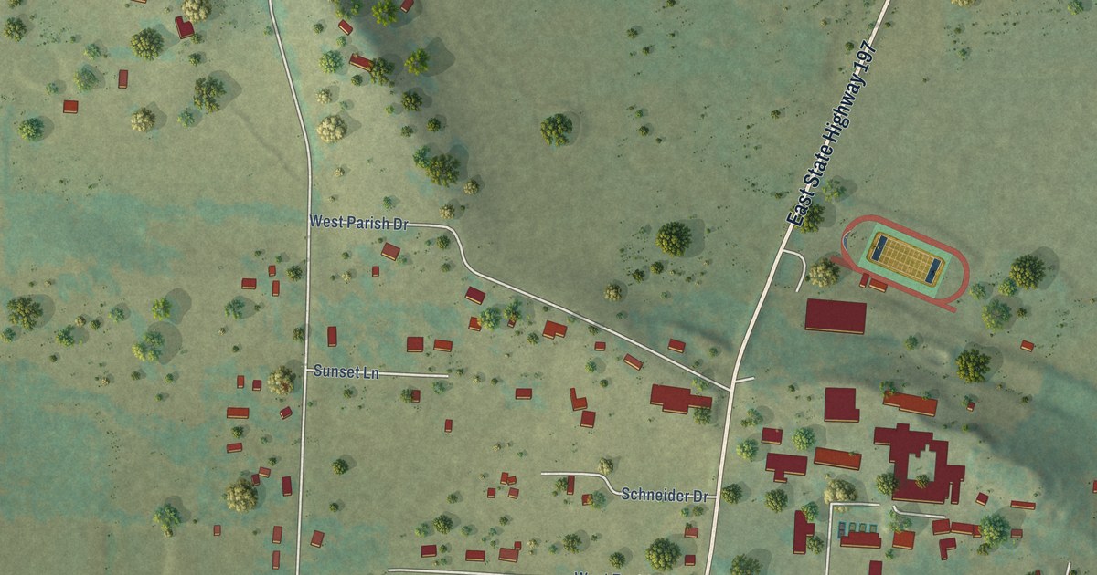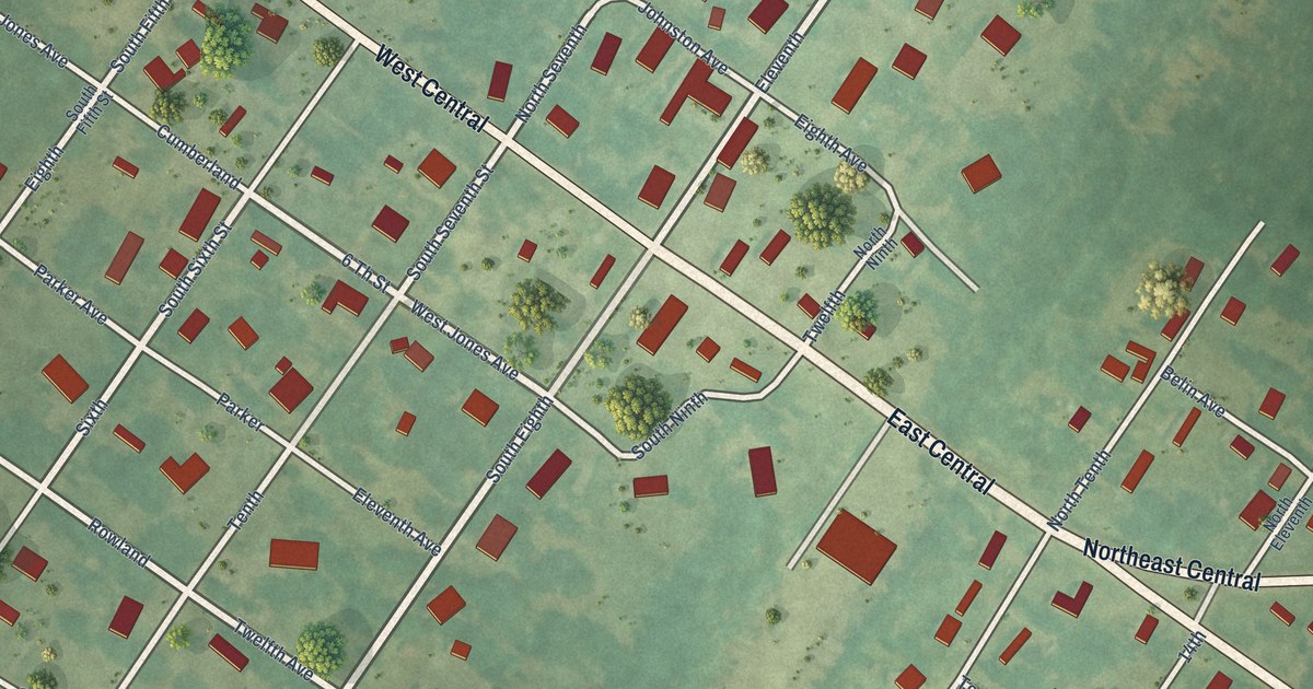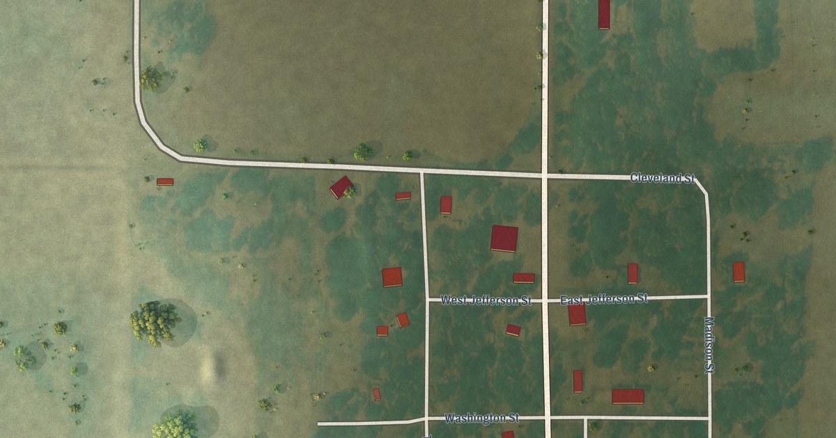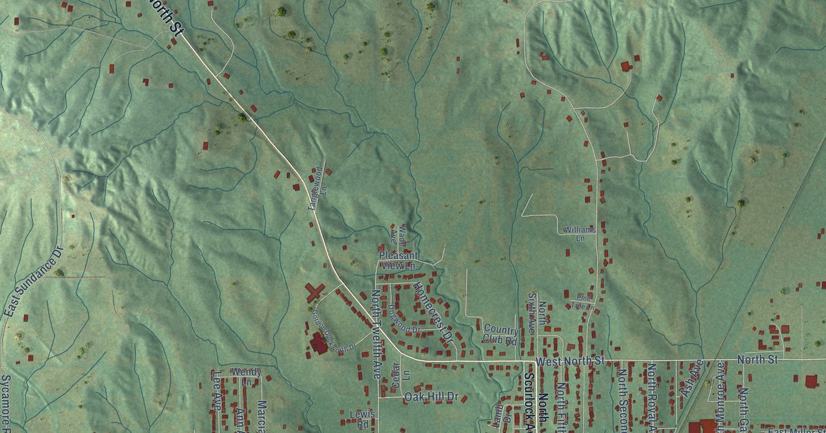
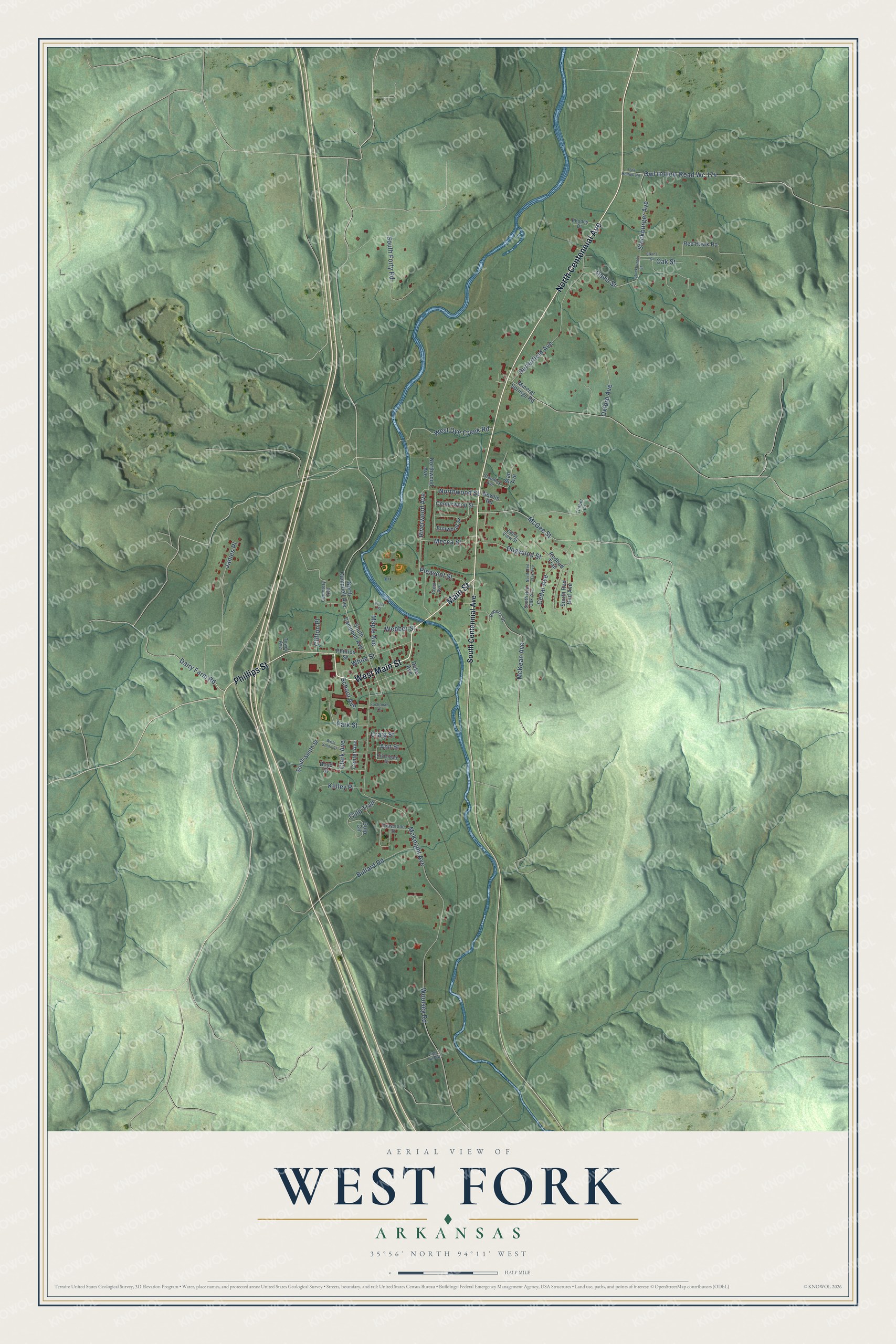
This beautifully detailed map of West Fork, Arkansas was created in 2026 using aerial imagery combined with modern topographical, census, street and landmark data. It's a modern aerial view of West Fork in Washington County, Arkansas, that combines modern data with a vintage aesthetic. The roads feature printed names, and if you look closely you can find your exact house accurately shown in its correct location.
Explore an aerial view of West Fork, Arkansas
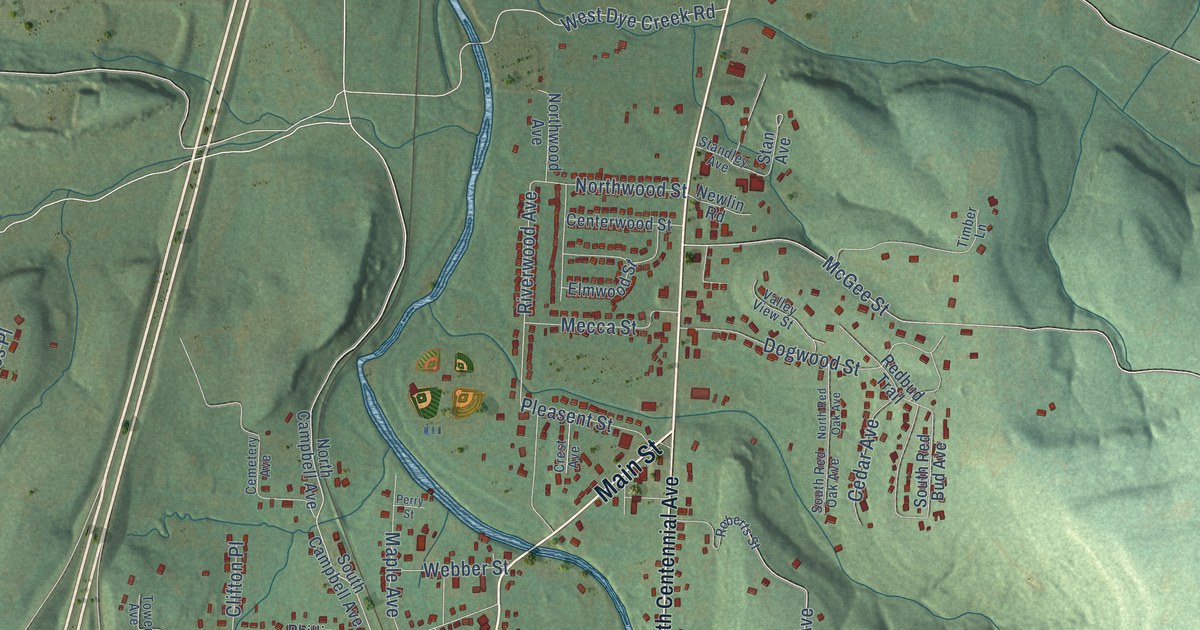
On this map you'll find North Centennial Avenue, West Main Street, Main Street, Phillips Street, School Avenue, Owl Hollow Road Wc 174, Dairy Farm Road, Riverwood Avenue, Clark Avenue, Stockburger Avenue, McKnight Avenue, Butterfield Avenue, and more. Each red shape is a building, so zoom in on the preview and look for yours.
Here is a piece of West Fork history, in the words of the record. The Encyclopedia of Arkansas puts it this way: "Thomas McKnight was said to have laid out the town in 1883, which was incorporated in May of 1885, with J. M. Phillips as mayor."
West Fork is a city in Washington County.
Take a closer look at the West Fork map
Names on this map
These names are printed on this map.
Streets and roads: North Centennial Avenue, West Main Street, Main Street, Phillips Street, School Avenue, Owl Hollow Road Wc 174, Dairy Farm Road, Riverwood Avenue, Clark Avenue, Stockburger Avenue, McKnight Avenue, Butterfield Avenue.
More street names, A to Z
Ann Street, Boyd Street, Bullard Road, Cedar Avenue, Cemetery Avenue, Center Avenue, Centerwood Street, Clifton Place, Craig Street, Crest Avenue, Culp Circle, Culp Trail, Davis Street, Dogwood Street, Doke Avenue, Egg Hill Road, Elkins Street, Elmwood Street, Fochtman Court, Graystone Street, James Place, Kelley Place, Maple Avenue, McGee Street, McKean Avenue, Mecca Street, Mineral Springs Road, Newlin Road, North Campbell Avenue, North Red Oak Avenue, Northwood Avenue, Northwood Street, Oak Street, Owl Hollow Road, Oxford Avenue, Park Street, Perry Street, Pleasent Street, Redbud Trail, Red Hawk Road, Rhodes Drive, Rivendale Drive, Roberts Street, South Campbell Avenue, South Centennial Avenue, South Forty Road, South Red Bud Avenue, South Red Oak Avenue, South Smith Street, Stan Avenue, Standley Avenue, Stockburger Street, Timber Lane, Tower Avenue, Valley View Street, Webber Street, West Dye Creek Road, West Smith Street, White Street, Woolsey Road.
Created by KNOWOL in 2026. The buildings are small red shapes, the roads carry their printed names, and shaded relief shows the shape of the land. The title panel reads "AERIAL VIEW OF WEST FORK ARKANSAS" with 35°56' NORTH 94°11' WEST.
It suits a den, a classroom or a front hall, and it makes a gift for anyone with West Fork roots. Open the preview and find the block you know. See sizes and frames for the West Fork map.