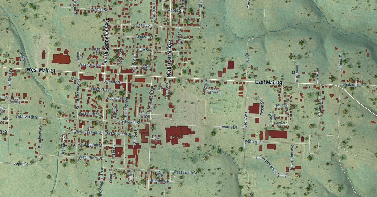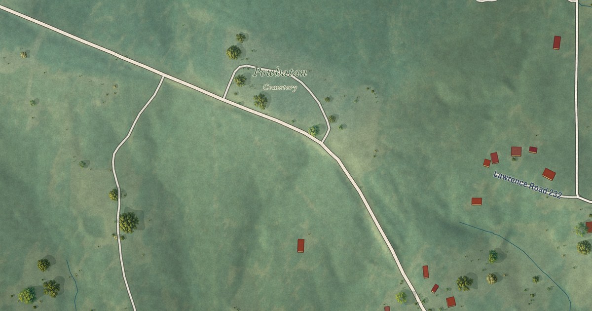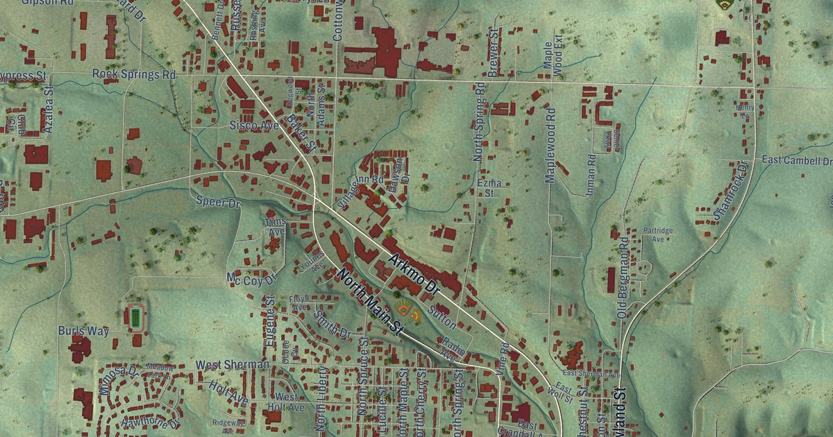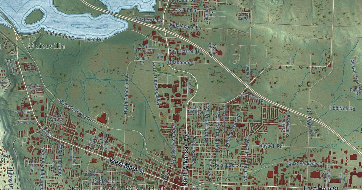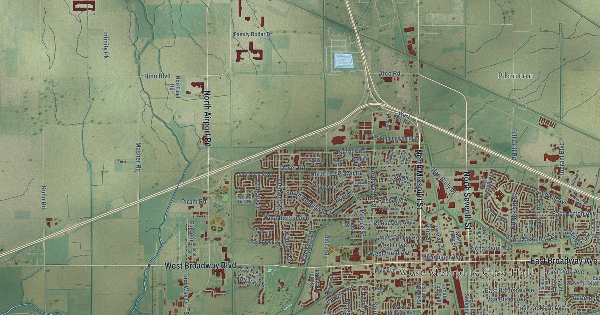
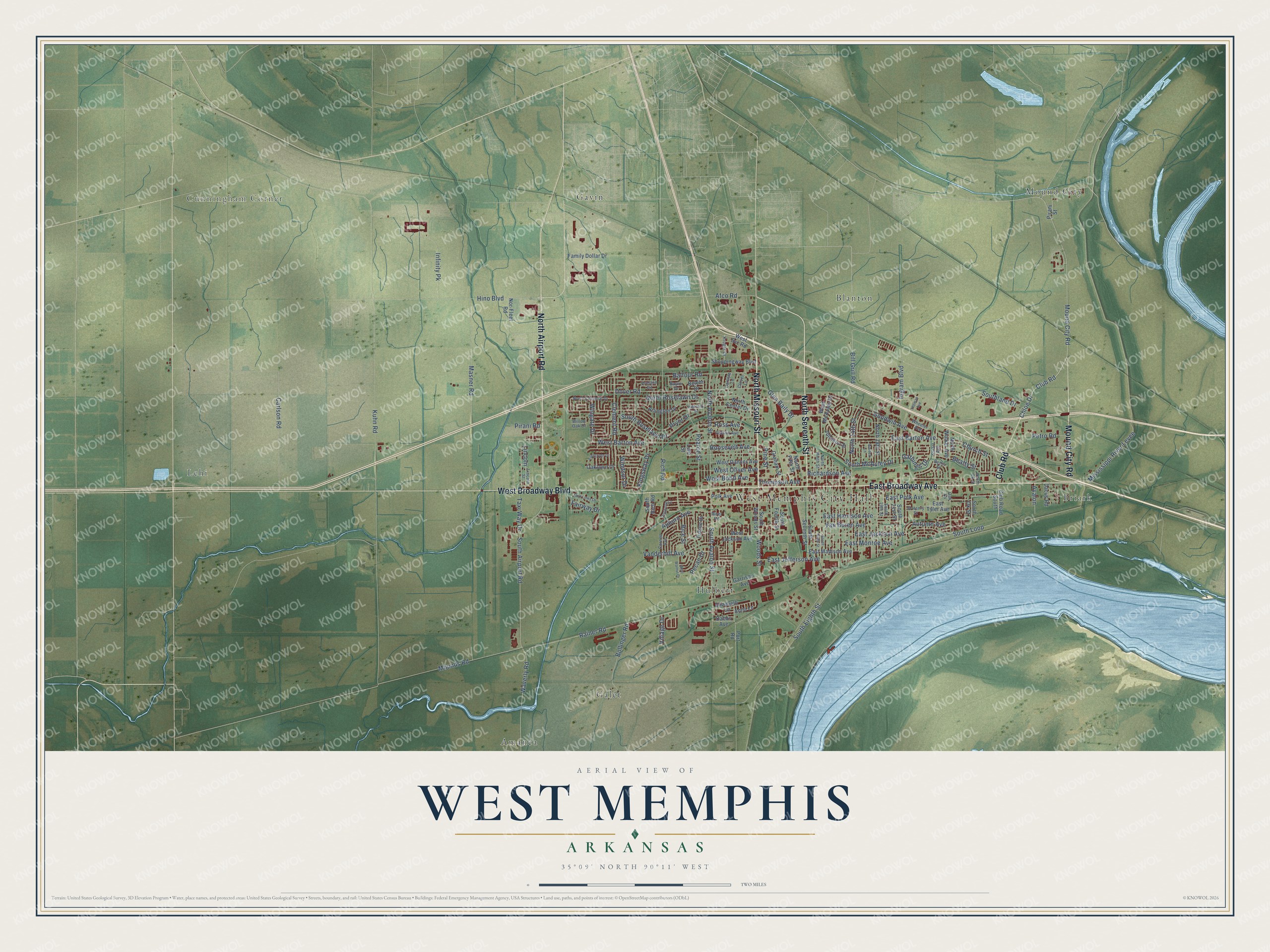
This beautifully detailed map of West Memphis, Arkansas was created in 2026 using aerial imagery combined with modern topographical, census, street and landmark data. It's a modern aerial view of West Memphis in Crittenden County, Arkansas, that combines modern data with a vintage aesthetic. The roads feature printed names, and if you look closely you can find your exact house accurately shown in its correct location.
Explore an aerial view of West Memphis, Arkansas
On this map you'll find West Memphis City Hall, Cunningham Corner, Amanca, Blanton, Briark, Galet, Gavin, Hulbert, Lehi, Mound City, East Broadway Avenue, North Missouri Street, and more. Each red shape is a building, so zoom in on the preview and look for yours.
West Memphis has a story worth telling. The Encyclopedia of Arkansas puts it this way: "General George Nettleton, an official of the Kansas City, Fort Scott and Memphis Railroad, known today as the Burlington Northern Railroad, named the town West Memphis in 1883."
West Memphis is a city in Crittenden County.
Take a closer look at the West Memphis map
Names on this map
These names are printed on this map.
Places: West Memphis City Hall, Cunningham Corner, Amanca, Blanton, Briark, Galet, Gavin, Hulbert, Lehi and Mound City.
Streets and roads: East Broadway Avenue, North Missouri Street, North Seventh Street, Mound City Road, North Airport Road, West Broadway Boulevard, Club Road, South McAuley Drive, Chloe Drive, Woods Street, South Airport Road, South Loop.
More street names, A to Z
Afco Road, Anna Lane, Arlington Drive, Auburn Avenue, Autumn Avenue, Avalon, Balfour Road, Baylor Drive, Beatty Street, Belehr Drive, Bettis Street, Bill Grill Road, Bollinger Road, Carlisle Lane, Carlson Road, Church Street, Clement Road, Clover Lane, Club Road South, Cornell Avenue, Dabbs Avenue, Dacus Road, Dogwood Cv, Dover Road, East Barton Avenue, East Harrison Avenue, East Jackson Avenue, East Jefferson Avenue, East Madison Avenue, East Monroe Avenue, East Polk Avenue, East Tyler Avenue, Elizabeth Lane, Evergreen Drive, Fairway Drive, Family Dollar Drive, Garden Lane, Garrison Avenue, Gathings Drive, Gibson Avenue, Glen Baily Drive, Golf Links Drive, Goodwin Avenue, Graham Street, Highland Drive, Hino Boulevard, Infinity Pk, Ingram Boulevard, Johnson Street, Kingsway Drive, Kroger Drive, Kuhn Road, Lehr Street, Lincoln, Lincoln Street, Masner Road, Mississippi River Levee, Mounds Road, Nor-Fleet Road, North 14th Street, North 18th Street, North Avalon Street, North Center Drive, North Colonial Drive, North Fifth Street, North Ninth Street, North Ok Street, North Roselawn Drive, North Walker Avenue, Oak Cv, Oaklawn Drive, Pearce Street, Pecan Drive, Petro Road, Pine Street, Pirani Road, Pirani Street, Polk Avenue, Port Road, Preston Road, Pryor Drive, Rainer Road, Rice Street, Richardson Avenue, Rich Road, River Road, Roosevelt Avenue, Ross Avenue, Shoppingway Boulevard, Sl Henry Street, South 19th Street, South 21st Street, South Avalon Street, South Eighth Street, South Fourth Street, Southland Drive, South Ninth Street, South Ok Street, South Rich Road, South Roselawn Drive, South Seventh Street, South Woods Street, Stuart Avenue, Taxi Way Drive, Thomas Avenue, Thompson Avenue, Tulane Drive, Van Buren Avenue, Vanderbilt Avenue, Village Drive, Waverly Road, West Barton Avenue, West Bond Avenue, West Danner Avenue, West Jackson Avenue, West McAuley Drive, West Oliver Avenue, West Svc Road, West Walnut Drive, Wheeler Avenue, Willow Oak Drive, Windsor Drive, Wingate Drive.
Created by KNOWOL in 2026. The buildings are small red shapes, the roads carry their printed names, and shaded relief shows the shape of the land. The title panel reads "AERIAL VIEW OF WEST MEMPHIS ARKANSAS" with 35°09' NORTH 90°11' WEST.
It looks right in a kitchen, an office or a den, and it's a gift for anyone who grew up in West Memphis or moved away. Open the preview and find your street. See sizes and frames for the West Memphis map.