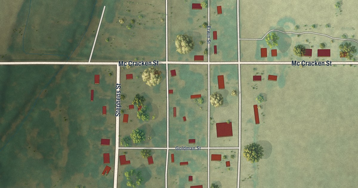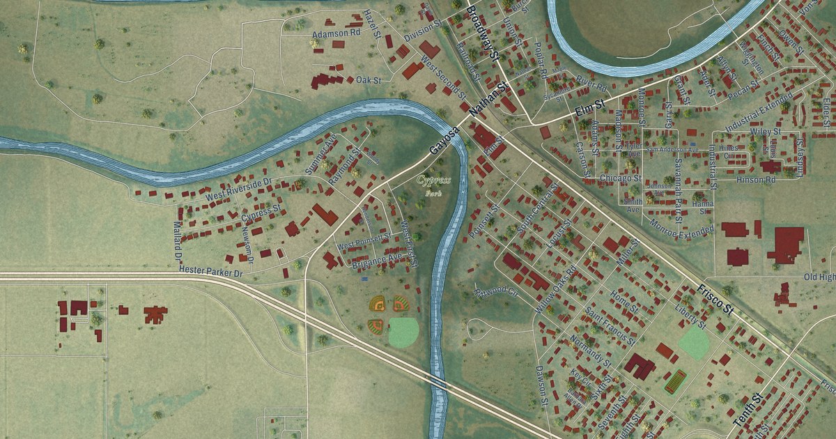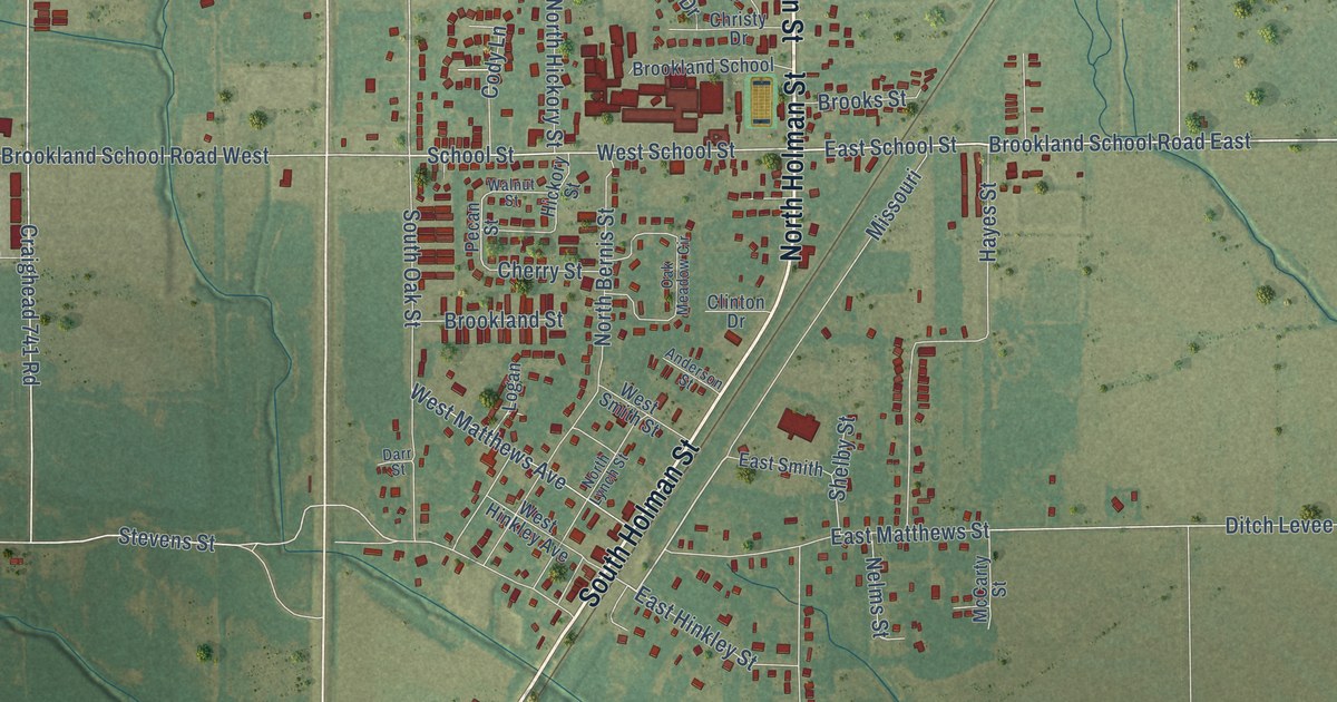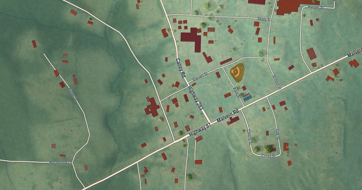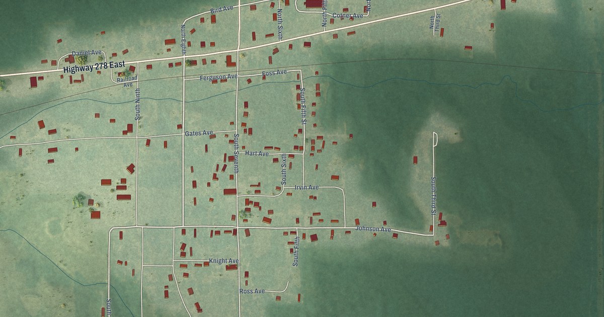
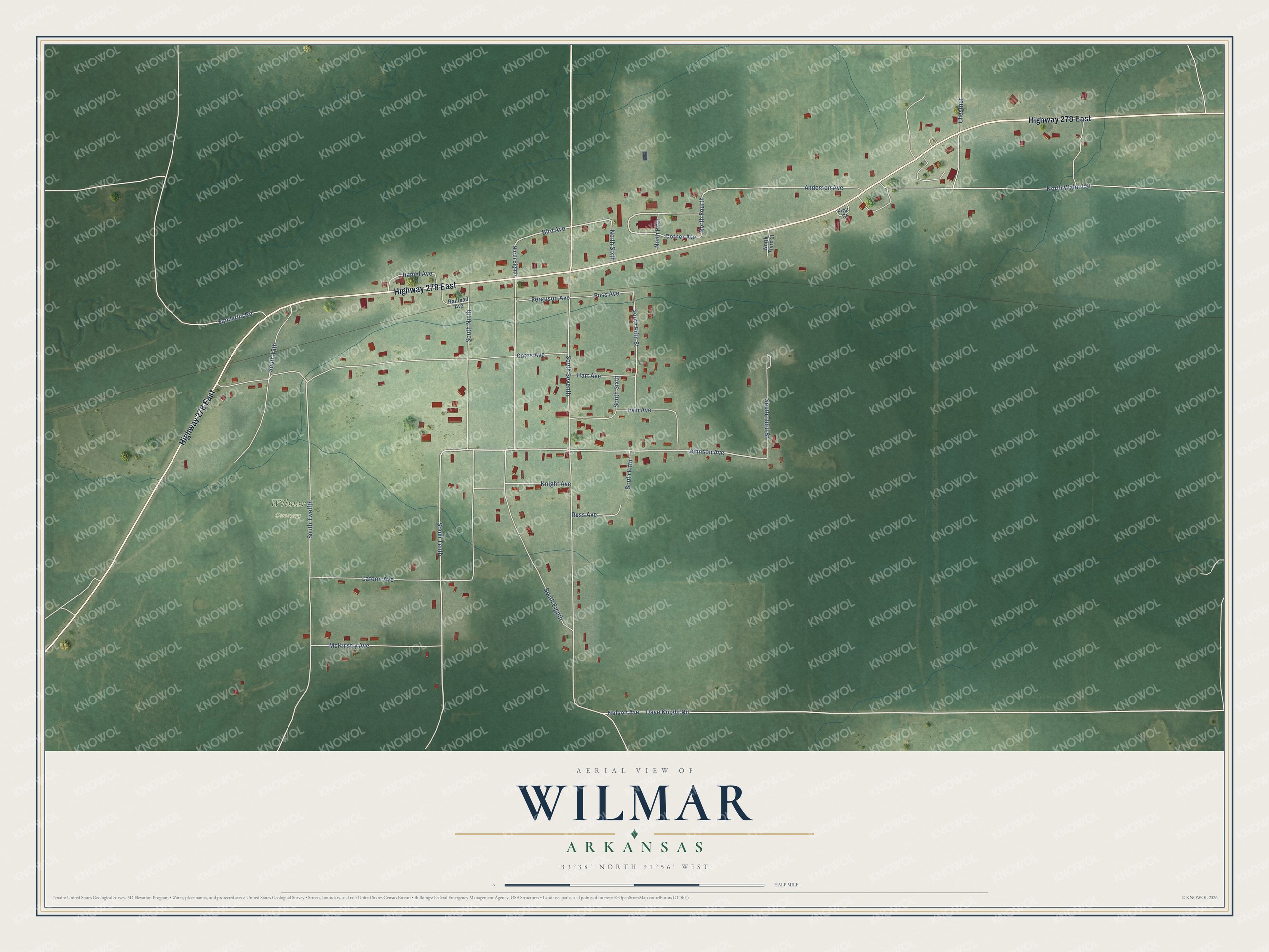
This beautifully detailed map of Wilmar, Arkansas was created in 2026 using aerial imagery combined with modern topographical, census, street and landmark data. It's a modern aerial view of Wilmar in Drew County, Arkansas, that combines modern data with a vintage aesthetic. The roads feature printed names, and if you look closely you can find your exact house accurately shown in its correct location.
Explore an aerial view of Wilmar, Arkansas
On this map you'll find Wilmar Cemetery, Highway 278 East, South Eighth, Johnson Avenue, South Tenth, Bird Avenue, South Sixth, South Fifth Street, Cotner Avenue, Foss Avenue, North Fourth, South Seventh, and more. Each red shape is a building, so zoom in on the preview and look for yours.
Here is a piece of Wilmar history, in the words of the record. The Encyclopedia of Arkansas puts it this way: "The history of Wilmar is generally said to begin with James Thomas Dionysius Anderson, who bought 700 acres of land in Drew County for a dollar an acre in 1859."
Wilmar is a city in Drew County.
Take a closer look at the Wilmar map
Names on this map
These names are printed on this map.
Places: Wilmar Cemetery.
Streets and roads: Highway 278 East, South Eighth, Johnson Avenue, South Tenth, Bird Avenue, South Sixth, South Fifth Street, Cotner Avenue, Foss Avenue, North Fourth, South Seventh, South Twelfth.
More street names, A to Z
Anderson Avenue, Chestnut, Daniel Avenue, Dave Knight Road, Ferguson Avenue, First Street, Gates Avenue, Hart Avenue, Irvin Avenue, Knight Avenue, Lafoon Avenue, McKinstry Avenue, Nelson Avenue, North Eighth, North Fifth, North Sixth, North Third Street, North Walnut Street, Railroad Avenue, Ross Avenue, Sanderlin Road, South 13th, South Fifth, South Ninth, South Third Street.
Created by KNOWOL in 2026. The buildings are small red shapes, the roads carry their printed names, and shaded relief shows the shape of the land. The title panel reads "AERIAL VIEW OF WILMAR ARKANSAS" with 33°38' NORTH 91°56' WEST.
It suits a den, a classroom or a front hall, and it makes a gift for anyone with Wilmar roots. Open the preview and find the block you know. See sizes and frames for the Wilmar map.