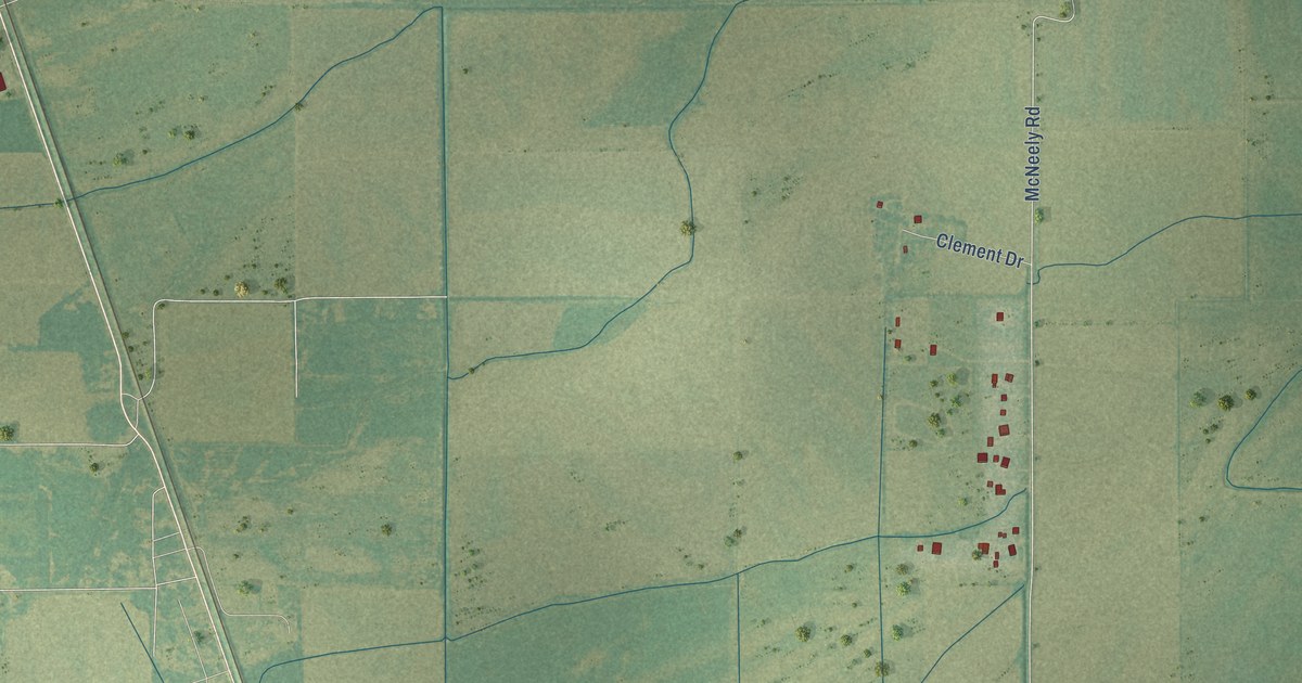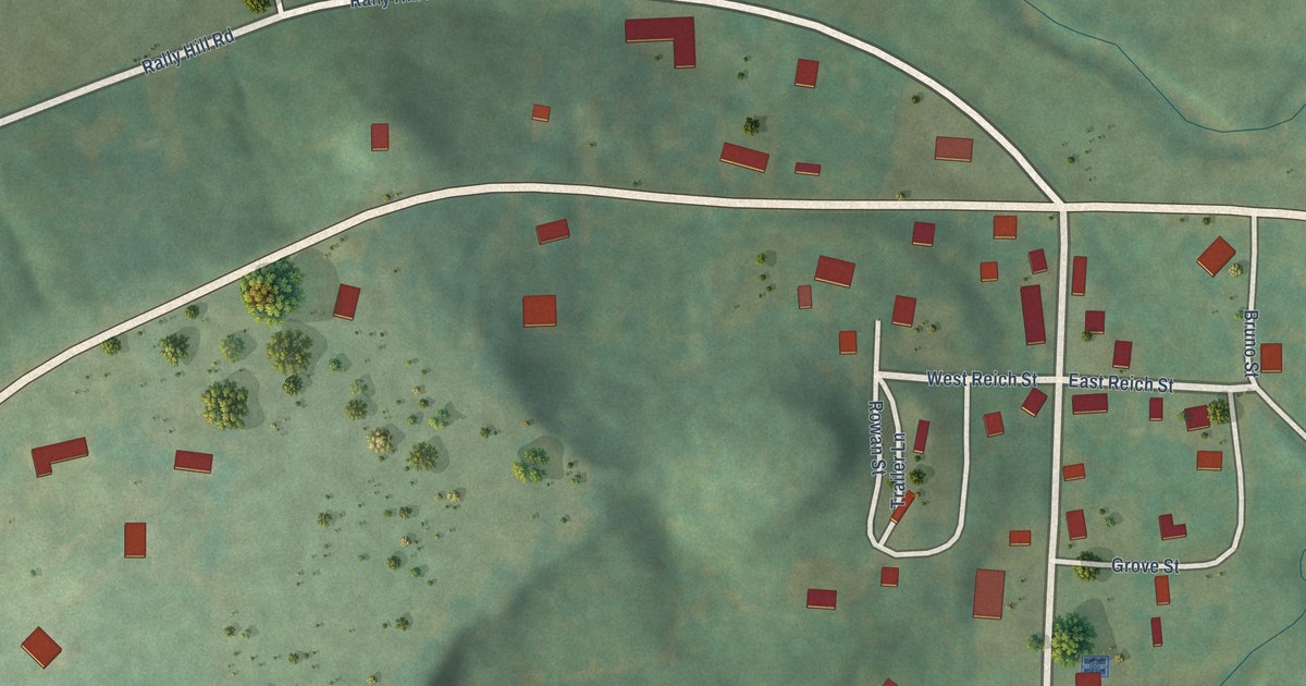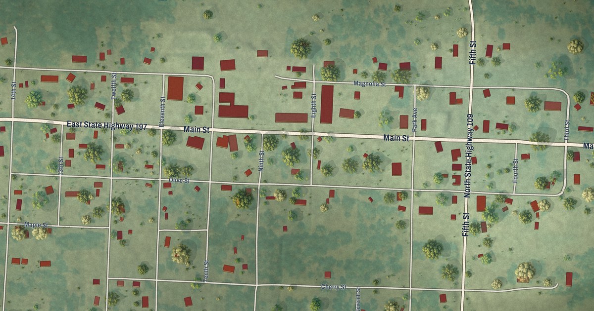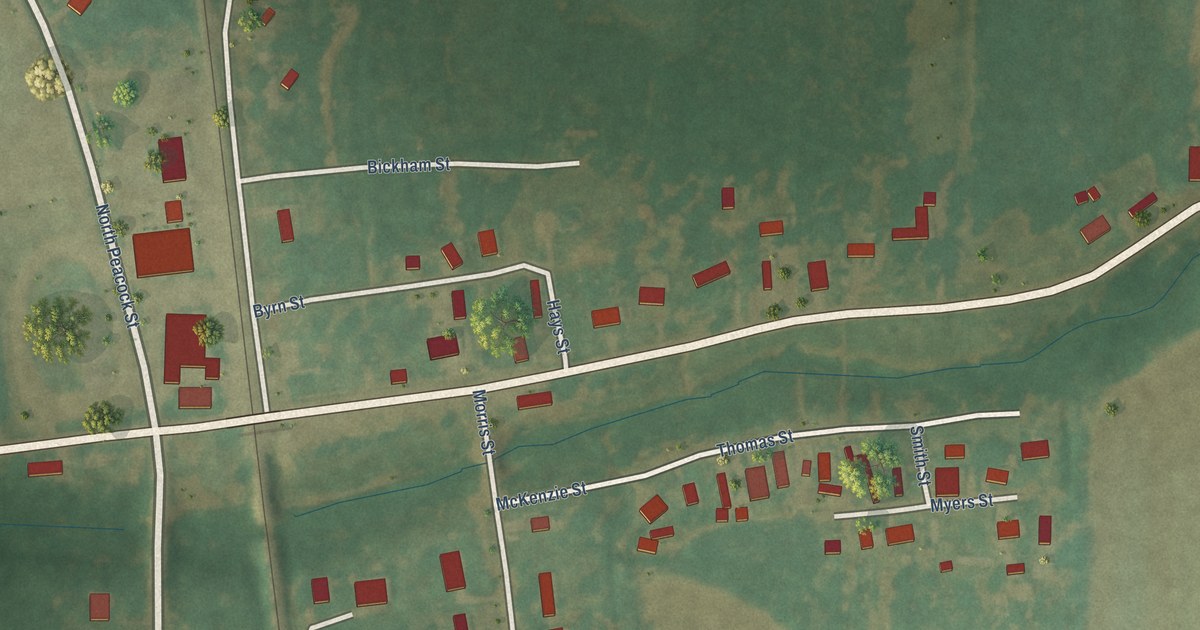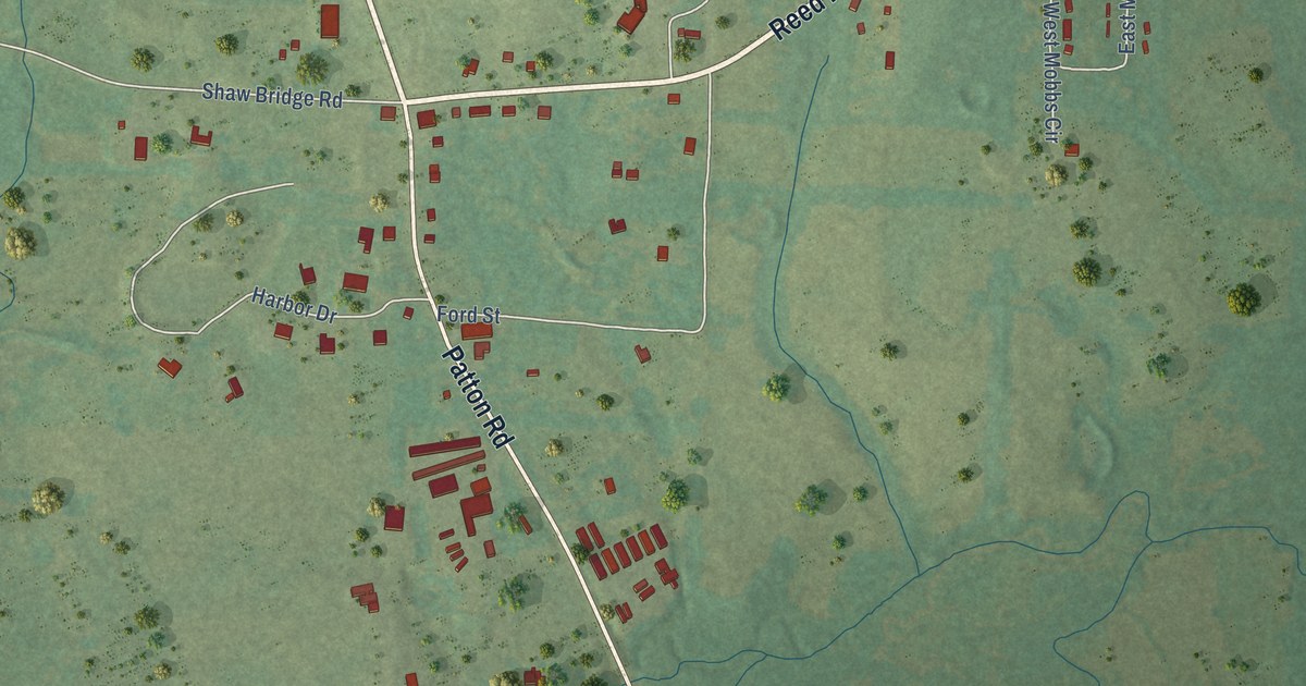
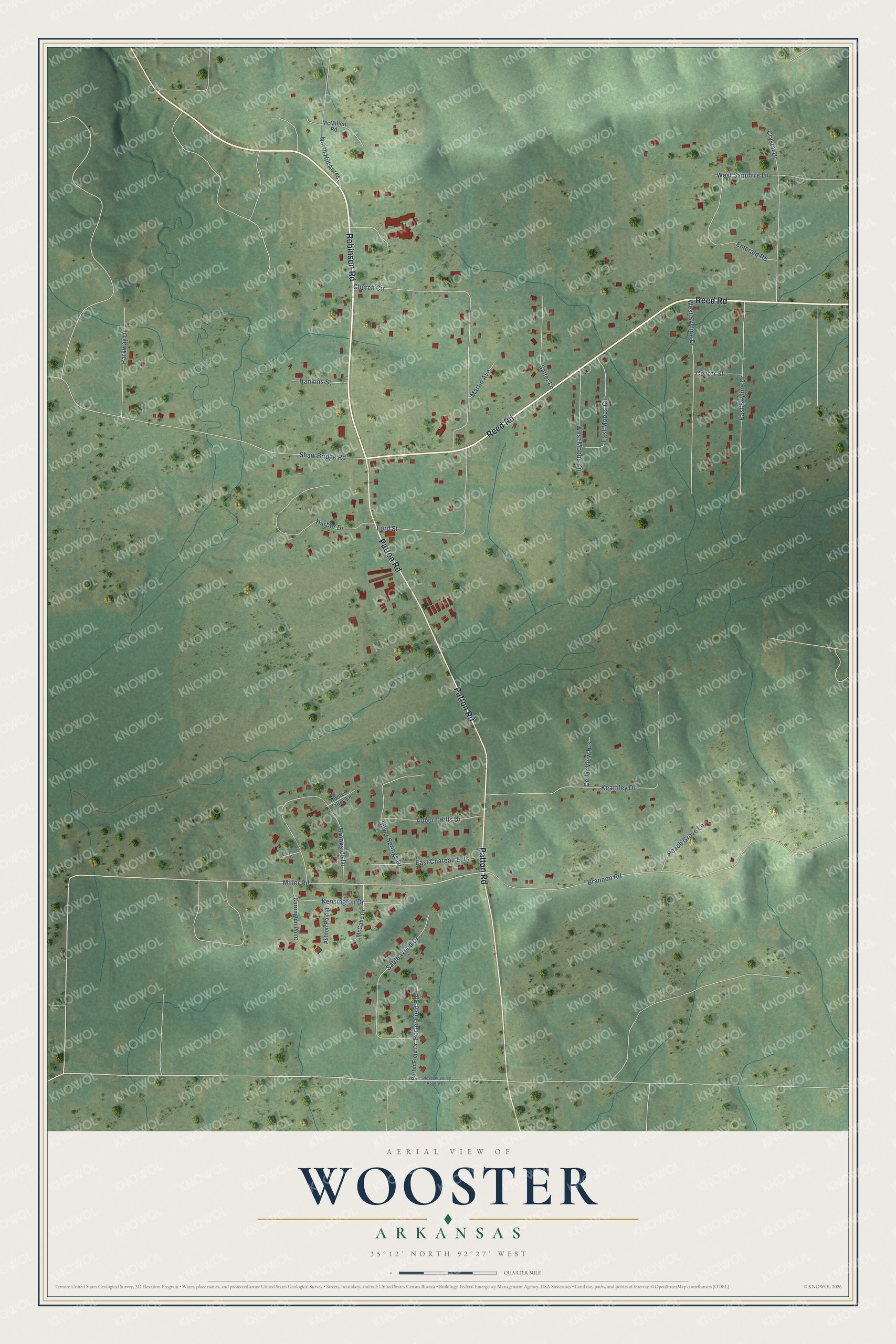
This beautifully detailed map of Wooster, Arkansas was created in 2026 using aerial imagery combined with modern topographical, census, street and landmark data. It's a modern aerial view of Wooster in Faulkner County, Arkansas, that combines modern data with a vintage aesthetic. The roads feature printed names, and if you look closely you can find your exact house accurately shown in its correct location.
Explore an aerial view of Wooster, Arkansas
On this map you'll find Reed Road, Robinson Road, Patton Road, Miller Road, North Hill Acres, Porter Field Road, Church Circle, Keathley Drive, Shaw Bridge Road, Brannon Road, Brookside Drive, West Skyline Drive, and more. Each red shape is a building, so zoom in on the preview and look for yours.
Here is a piece of Wooster history, in the words of the record. The Encyclopedia of Arkansas puts it this way: "During the Depression, the schools in Wooster were among the first in Arkansas to serve hot lunches to students. Children were charged ten cents for their lunch and were required to bring plates and silverware from home."
Wooster is a city in Faulkner County.
Take a closer look at the Wooster map
Names on this map
These names are printed on this map.
Streets and roads: Reed Road, Robinson Road, Patton Road, Miller Road, North Hill Acres, Porter Field Road, Church Circle, Keathley Drive, Shaw Bridge Road, Brannon Road, Brookside Drive, West Skyline Drive.
More street names, A to Z
Ashton Pointe, Auburn Hills Drive, Carrington Point, Cedar View Heights, Center Street, Crystal Drive, East Chateau Ests, East Mobbs Circle, East Skyline Drive, Emerald Road, Evergreen Cv, Ford Street, Hankins Street, Harbor Drive, Hunter Valley Lane, Kensington Drive, Martin Avenue, McCabe Drive, McMillen Road, Parkway Drive, Peach Grove Lane, Pleasant Valley Road West, Porter Field Drive, Sable Wood Drive, Salter Lane, Silver Springs Drive, West Mobbs Circle, West Sapphire Lane.
Created by KNOWOL in 2026. The buildings are small red shapes, the roads carry their printed names, and shaded relief shows the shape of the land. The title panel reads "AERIAL VIEW OF WOOSTER ARKANSAS" with 35°12' NORTH 92°27' WEST.
It suits a den, a classroom or a front hall, and it makes a gift for anyone with Wooster roots. Open the preview and find the block you know. See sizes and frames for the Wooster map.