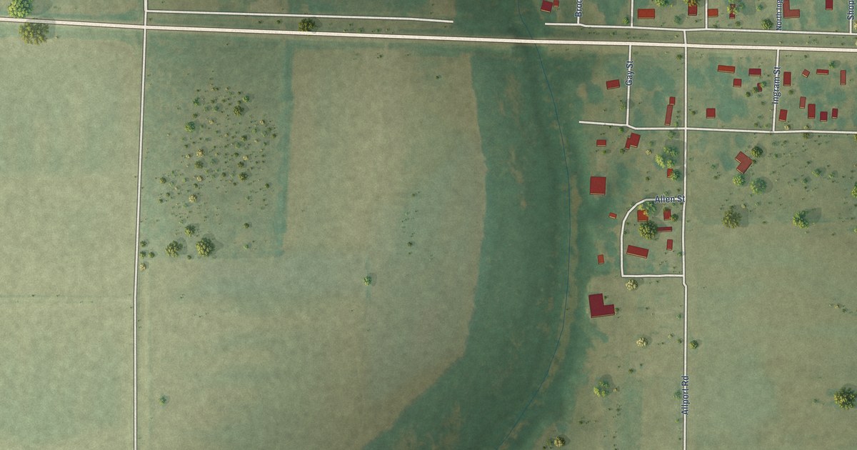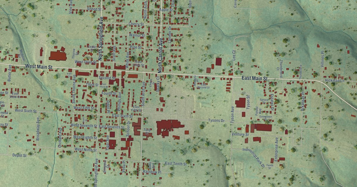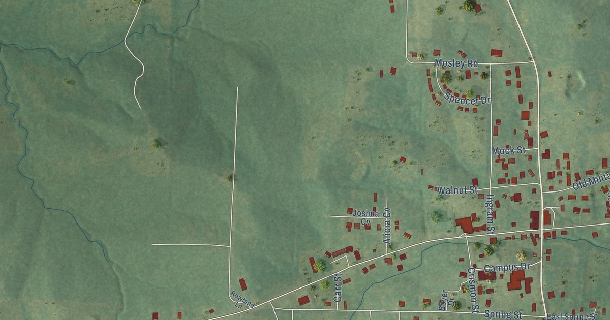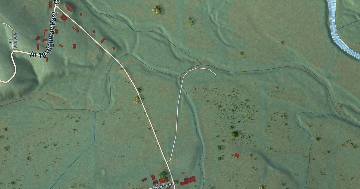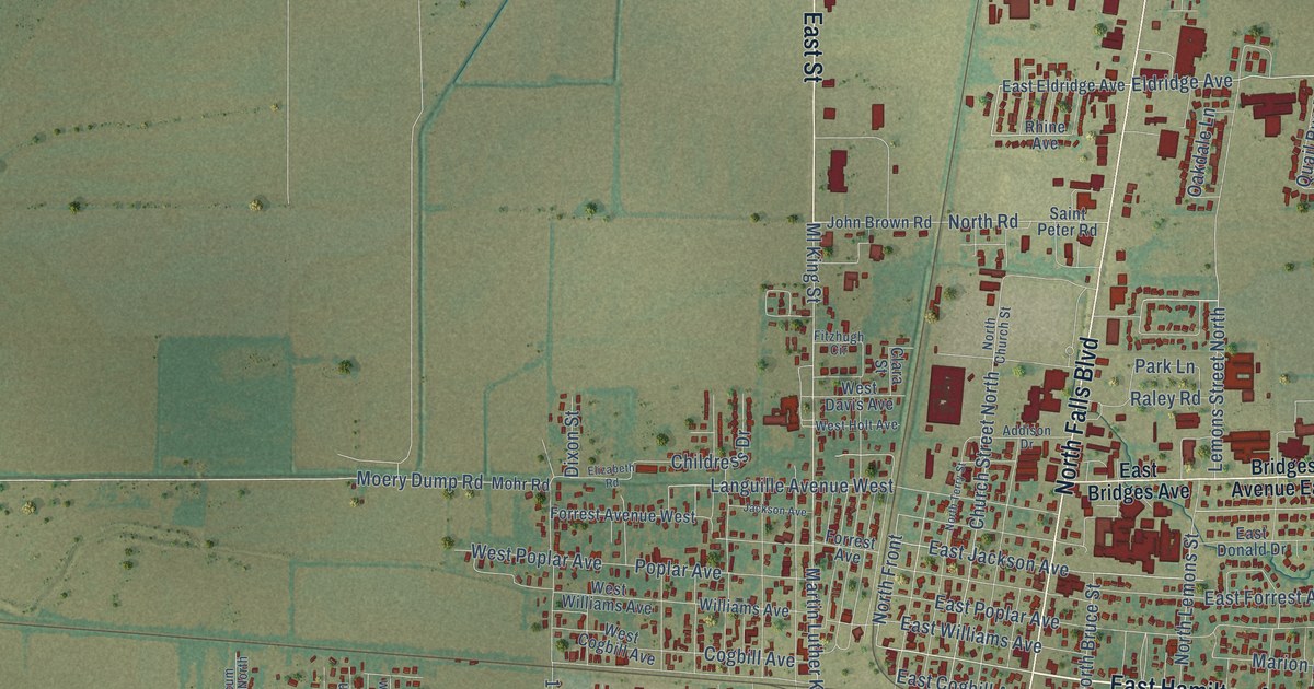
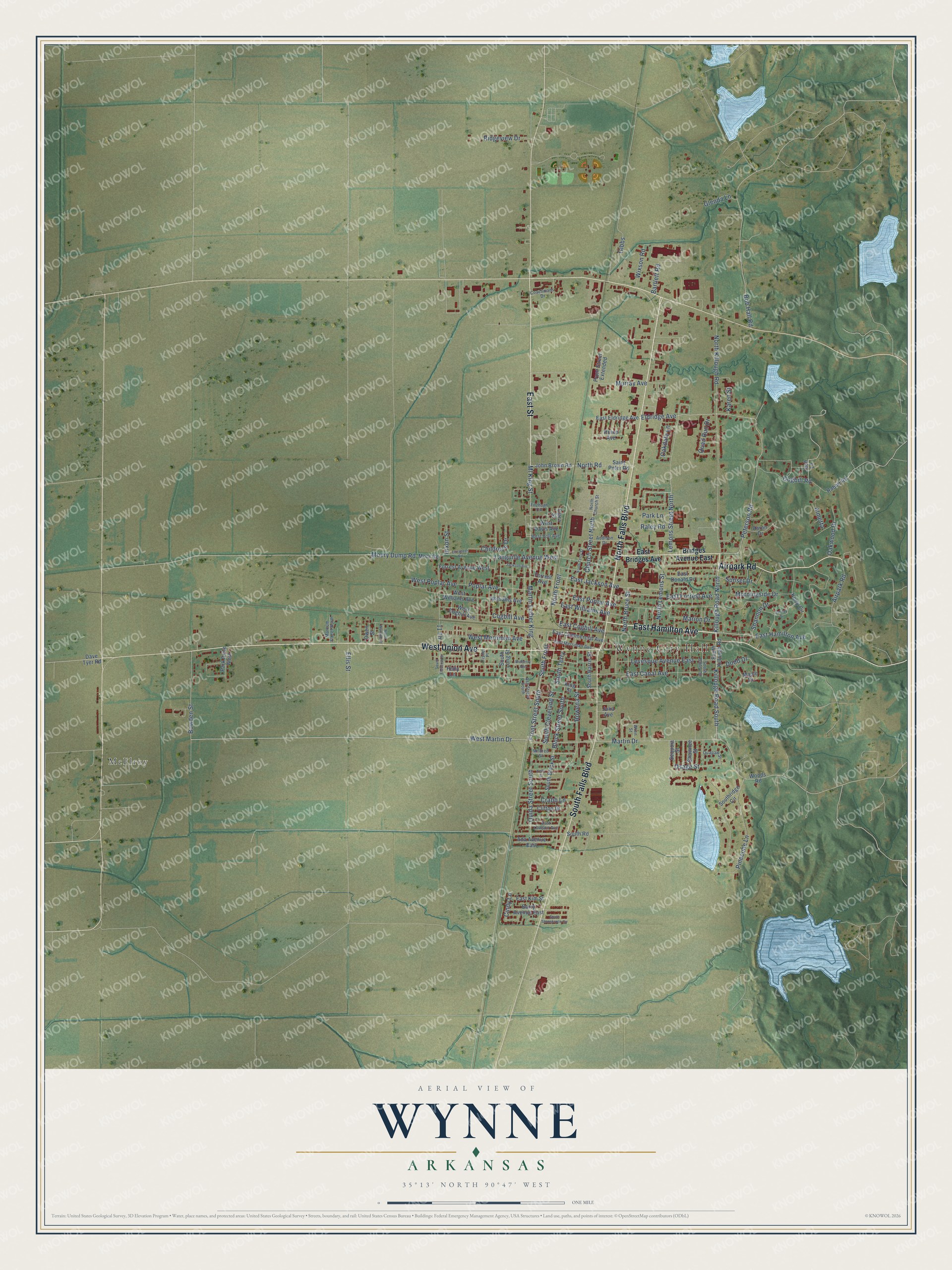
This beautifully detailed map of Wynne, Arkansas was created in 2026 using aerial imagery combined with modern topographical, census, street and landmark data. It's a modern aerial view of Wynne in Cross County, Arkansas, that combines modern data with a vintage aesthetic. The roads feature printed names, and if you look closely you can find your exact house accurately shown in its correct location.
Explore an aerial view of Wynne, Arkansas
On this map you'll find Wynne City Hall, McElroy, East Hamilton Avenue, West Union Avenue, Airpark Road, North Falls Boulevard, South Falls Boulevard, East Street, North Killough Road, Killough Road South, Killough Road North, Peterson Road, and more. Each red shape is a building, so zoom in on the preview and look for yours.
Every town has a first chapter, and Wynne is no exception. The Encyclopedia of Arkansas puts it this way: "A train derailed and left behind a boxcar, which was turned upright and named Wynne Station. The town was named for Captain Jesse Wynne of Forrest City (St. Francis County); he was influential in starting Forrest City’s first bank, the Bank of Eastern Arkansas (now the First National Bank of Eastern Arkansas, which operates in Forrest City and Wynne)."
Wynne is a city in Cross County.
Take a closer look at the Wynne map
Names on this map
These names are printed on this map.
Places: Wynne City Hall and McElroy.
Streets and roads: East Hamilton Avenue, West Union Avenue, Airpark Road, North Falls Boulevard, South Falls Boulevard, East Street, North Killough Road, Killough Road South, Killough Road North, Peterson Road, Eldridge Avenue, West Martin Drive.
More street names, A to Z
11 Th, Aaron Drive, Ada Avenue East, Addison Drive, Almetta, Ash Street South, Barry Avenue East, Bartlett Road, Block Street South, Bob Hall Road, Bowden Street, Bridges Avenue East, Childress Drive, Church Street North, Cindy Lane, Clara Street, Clifton Drive, Coachmans Drive, Cogbill Avenue, Cogbill Road, Crabb Lane, Dave Tyer Road, Dixon Street, Dodd Drive, East Bridges Avenue, East Canal Avenue, East Cogbill Avenue, East Commercial Avenue, East Donald Drive, East Eldridge Avenue, East Forrest Avenue, East Jackson Avenue, East Kim Street, East Lawson Avenue, East Merriman Avenue, East Poplar Avenue, East Williams Avenue, Elizabeth Road, Ellis Street, Fisher Place, Fitzhugh Circle, Forrest Avenue, Forrest Avenue West, Front Street Extended, Front Street South, Galway Drive, Gibbs, Glenda Lane, Holly Lane, Jackson Avenue, John Brown Road, Josh Lane, Julia Avenue, Karen Street, Kelly Street, Kerry Circle, King Street, Languille Avenue West, Lemons Street North, Levesque Avenue East, Maple Drive, Marcum Street North, Marion Drive, Martin Drive, Martin Luther King, Mildred Street, Ml King Street, Moery Dump Road, Mohr Road, Morningside Drive, Mulberry Avenue, Murray Avenue, North Bruce Street, North Church Street, North Front, North Lemons Street, North Road, North Terry Street, North Wallace Street, Oakdale Lane, Oakwood Drive, Osage Street, Ouida Street South, Owen Street, Park Drive West, Park Lane, Pinecone Lane, Poplar Avenue, Quail Run Drive, Quapaw Street, Rabbit Road, Raley Road, Rhine Avenue, Ridgeview Drive, Rowena Street, Saint Peter Road, Sequoia Street, Shannon Drive, Shawnee Street, South Bailey Street, South Block Street, South Cleveland Street, South Eleventh Street, South Front, South Harris Street, South Killough Road, South Long Street, Southridge Circle, South Road, South Stonebrook Circle, South Terry, Sunset Drive, West Cogbill Avenue, West Davis Avenue, West Holt Avenue, West Merriman Avenue, West Poplar Avenue, West Williams Avenue, Williams Avenue, Wixson Road, Woods Road, Wren Street.
Created by KNOWOL in 2026. The buildings are small red shapes, the roads carry their printed names, and shaded relief shows the shape of the land. The title panel reads "AERIAL VIEW OF WYNNE ARKANSAS" with 35°13' NORTH 90°47' WEST.
Hang it in the hallway, the office or the cabin, or give it to someone who left Wynne and still calls it home. Open the preview and look for a street you know. See sizes and frames for the Wynne map.