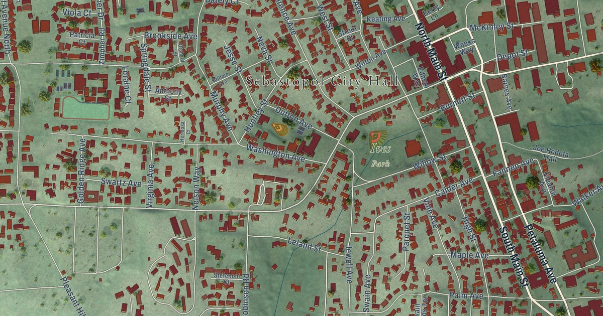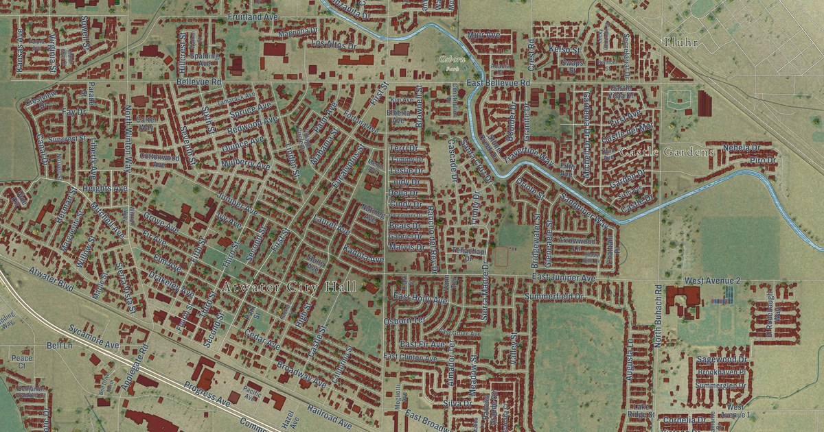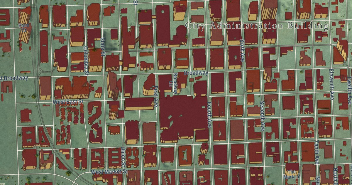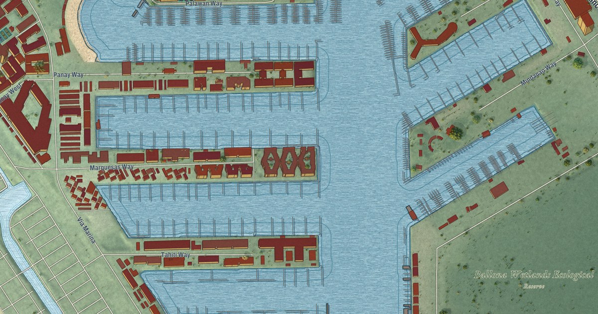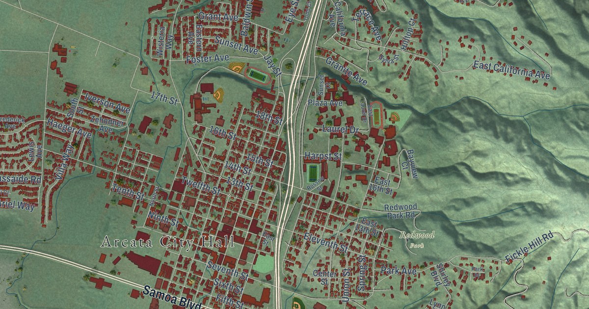
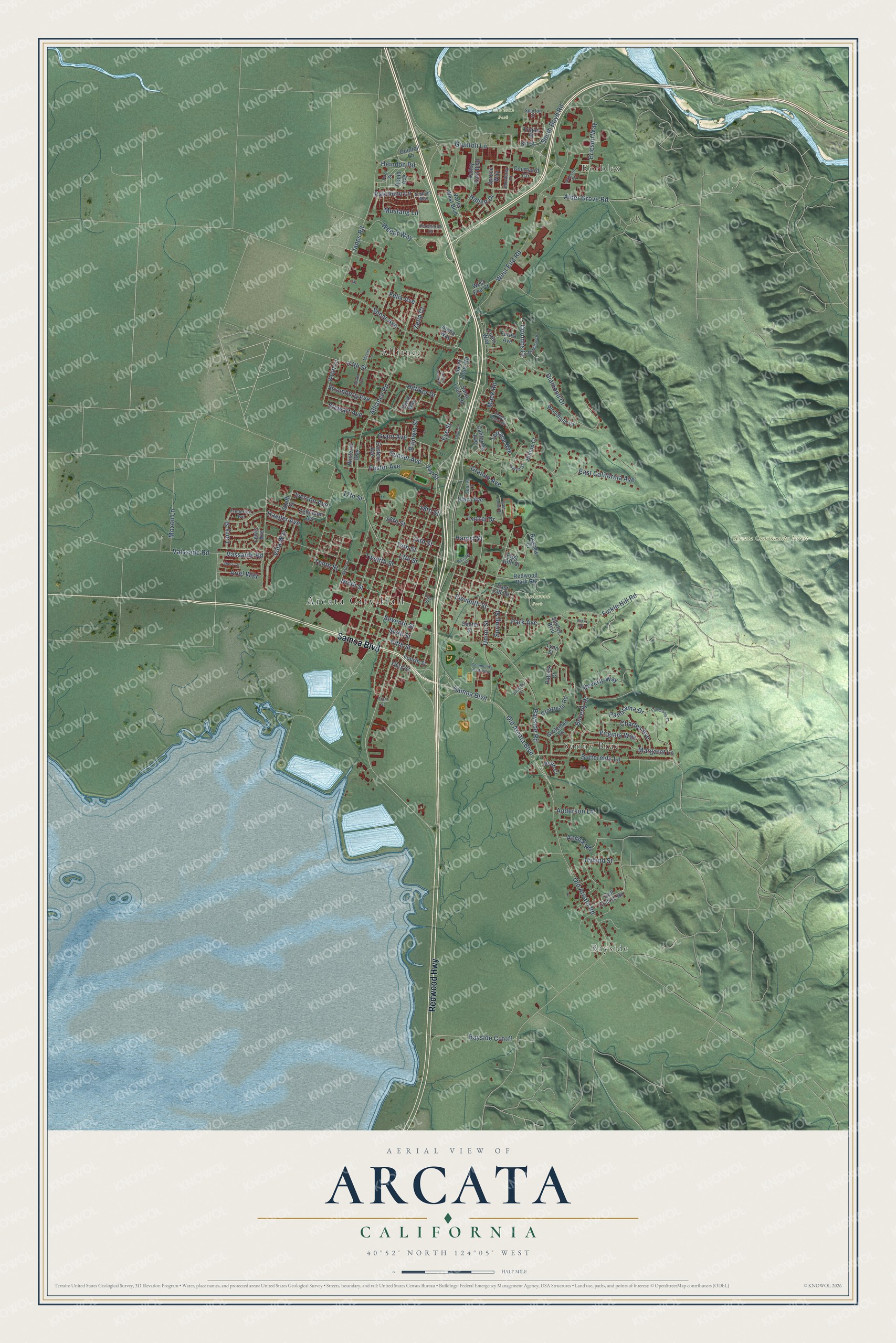
This beautifully detailed map of Arcata, California was created in 2026 using aerial imagery combined with modern topographical, census, street and landmark data. It's a modern aerial view of Arcata in Humboldt County, California, that combines modern data with a vintage aesthetic. The roads feature printed names, and if you look closely you can find your exact house accurately shown in its correct location.
Explore an aerial view of Arcata, California
On this map you'll find Arcata City Hall, Korblex, Arcata Community Forest, Carlson Park, Redwood Park, Alliance, Bayside, Sunny Brae, Samoa Boulevard, Redwood Highway, Old Arcata Road, Bayside Road, and more. Each red shape is a building, so zoom in on the preview and look for yours.
Here is a piece of Arcata history, in the words of the record. The National Register of Historic Places puts it this way: "Today the Hotel Arcata
appears essentially the same as it did when newly built and in the
limelight of Arcata's commerce and community life."
Arcata is a city in Humboldt County. The Census Bureau counted 18,857 people here in 2020.
Take a closer look at the Arcata map
Names on this map
These names are printed on this map.
Places: Arcata City Hall, Korblex, Arcata Community Forest, Carlson Park, Redwood Park, Alliance, Bayside and Sunny Brae.
Streets and roads: Samoa Boulevard, Redwood Highway, Old Arcata Road, Bayside Road, Jay Street, Grant Avenue, Vassaide Road, Seventh Street, Old Arcata Boulevard, Coombs Court, Weeot Way, 15th Street.
More street names, A to Z
13th Street, 14th Street, 16th Street, 17th Street, 18th Street, 27th Street, Alder Grove Road, Alliance Road, Aloha Way, Anderson Lane, Anvick Road, Arabian Way, Ariel Way, Baldwin Street, Bayside Court, Bayside Cutoff, Bayview Court, Beith Court, Beverly Drive, Beverly Way, Buttermilk Lane, California Avenue, Center Street, Charles Avenue, Community Park Way, Courtyard Circle, Curtis Way, Davis Way, Diamond Drive, East 13th Street, East 16th Street, East California Avenue, Eastern Avenue, East Laurel Drive, East Street, Eleventh Street, Ericson Court, Ericson Way, Eye Street, Felix Avenue, Fickle Hill Road, Fifth Street, Forest Avenue, Foster Avenue, Fourth Street, Frederick Avenue, Front Street, Giuntoli Lane, Golf Course Road, Granite Avenue, Grotzman Lane, Grotzman Road, Guintoli Lane, Haeger Avenue, Hallen Drive, Harpst Street, Heindon Road, Hidden Creek Road, Hilfiker Drive, Hilltop Court, Hyland Street, Iverson Avenue, Janes Creek Drive, Janes Road, Kit Street, Larry Street, Laurel Drive, Lewis Avenue, Lynn Street, Maciel Lane, Mack Road, Margaret Lane, McMillan Drive, Monterey Drive, Moxon Lane, Mustang Lane, Ninth Street, North Street, Palomino Lane, Panorama Court, Panorama Drive, Park Avenue, Park Place, Patrick Court, Percheron Lane, Plaza Avenue, Pool Street, Rapid Avenue, Redwood Park Road, Rossow Street, Saint Louis Road, Sherri Court, Shirley Boulevard, Sixth Street, South Boyd Road, South Street, Sparton Street, Spear Avenue, Spring Street, Spruce Way, Stewart Avenue, Stromberg Avenue, Sunset Avenue, Sunset Court, Susan Avenue, Sylva Street, Tenth Street, Terrace Avenue, Third Street, Todd Court, Trojan Street, Twelfth Street, Union Street, Vaissade Road, Valley East Boulevard, Valley West Boulevard, Villa Way, Virginia Way, West End Court, West End Road, Wisteria Way, Woodland Court, Wyatt Lane, Zehndner Avenue, Zelia Court.
Created by KNOWOL in 2026. The buildings are small red shapes, the roads carry their printed names, and shaded relief shows the shape of the land. The title panel reads "AERIAL VIEW OF ARCATA CALIFORNIA" with 40°52' NORTH 124°05' WEST.
It suits a den, a classroom or a front hall, and it makes a gift for anyone with Arcata roots. Open the preview and find the block you know. See sizes and frames for the Arcata map.