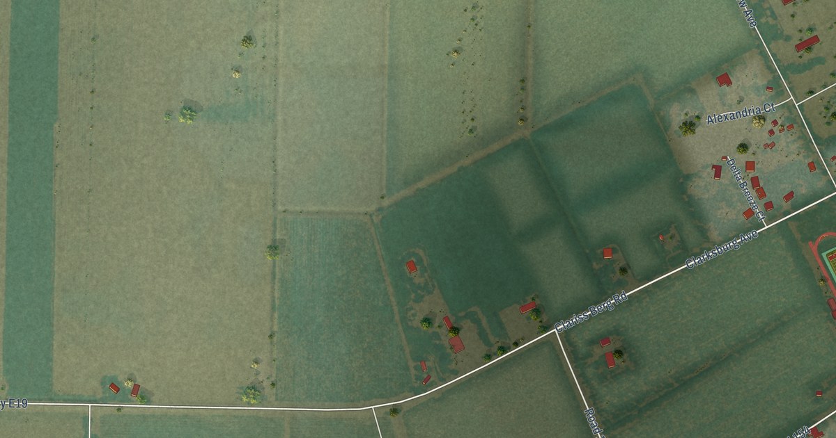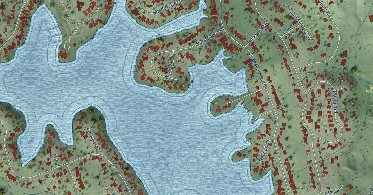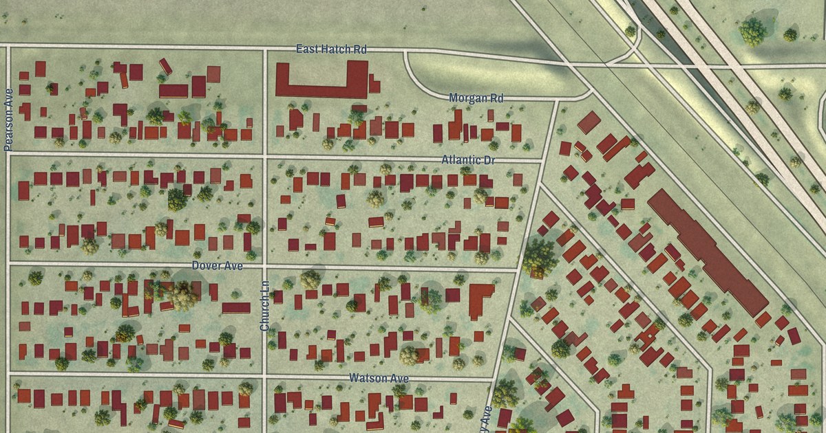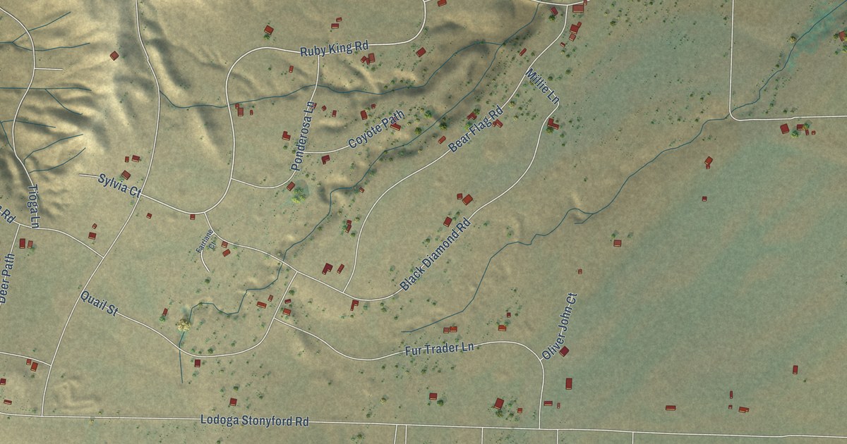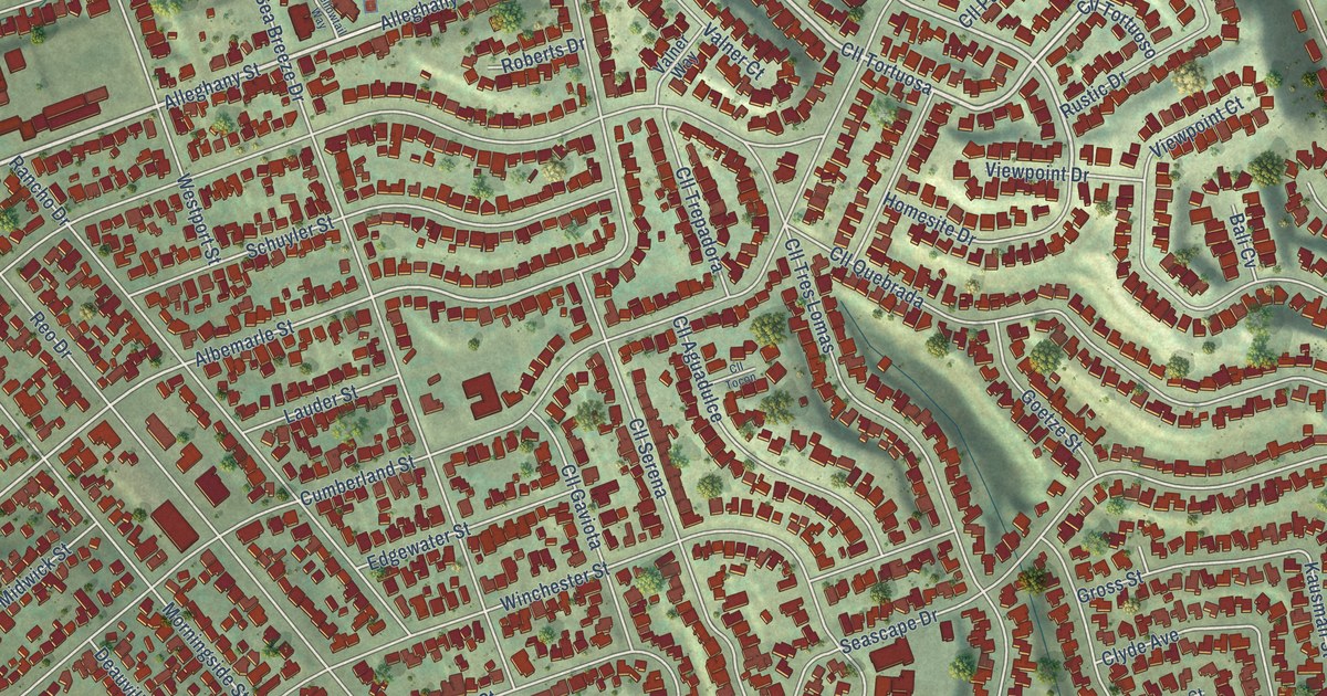
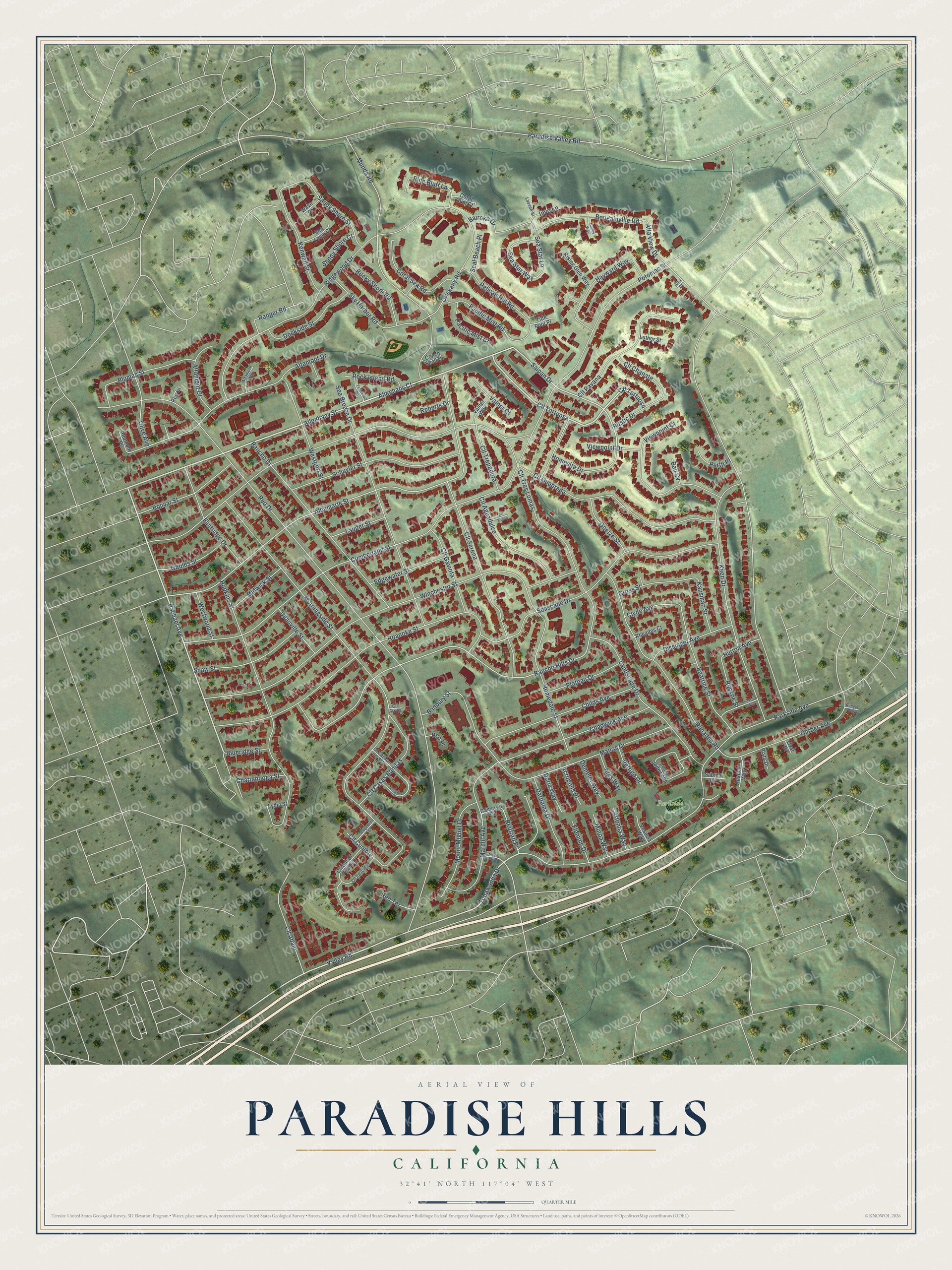
This beautifully detailed map of Paradise Hills, California was created in 2026 using aerial imagery combined with modern topographical, census, street and landmark data. It’s a one-of-a-kind view of Paradise Hills that combines accurate data with a vintage aesthetic. The map shows every building in its true location, many of the roads carry their names, and the shaded topographic relief shows the shape of the land.
Explore an aerial view of Paradise Hills, California
On the map you’ll find Parkside Park, Cll Tortuosa, and Redford Place, along with Alleghany Street, Rachael Avenue, Valley Road, Tonawanda Drive, Saipan Drive, Alleghany Court, Reo Drive, Rancho Hills Drive, Albemarle Street, and more. If you look closely you can even find your house accurately drawn in its correct location. Zoom in on the preview to look for yours.
Take a closer look at the Paradise Hills map
Names on this map
These names are printed on this map.
Places: Parkside Park.
Streets and roads: Alleghany Street, Rachael Avenue, Cll Tortuosa, Valley Road, Tonawanda Drive, Saipan Drive, Alleghany Court, Redford Place, Reo Drive, Rancho Hills Drive, Albemarle Street, Potomac Street.
More street names, A to Z
Acropolis Place, Alta Court, Altamont Court, Altamont Drive, Altamont Place, Altamont Way, Alta View Drive, Analiese Way, Ares Way, Artemia Way, Bairoko Drive, Bali Cv, Banbury Street, Beatrice Street, Blueridge Street, Bolivar Street, Bougainville Road, Callejon Street, Cameron Court, Chadwick Avenue, Chattanooga Street, Childs Avenue, Cll Abajo, Cll Aguadulce, Cll Arriba, Cll Casas Bonitas, Cll Chanate, Cll Cumbre, Cll Felicidad, Cll Gaviota, Cll Pavana, Cll Quebrada, Cll Salida del Sol, Cll Sal Si Puedes, Cll Serena, Cll Tocon, Cll Tortuoso, Cll Trepadora, Cll Tres Lomas, Clyde Avenue, Conch Shell Court, Coral Gum Court, Coral Sea Road, Cumberland Street, Dardaina Drive, Deauville Street, Demeter Way, Dissinger Avenue, Dockside Street, Doria Way, Edgewater Street, Fleming Drive, Flintridge Drive, Gables Street, Garber Avenue, Goetze Street, Gross Street, Hayward Way, Hedges Way, Homedale Street, Homesite Drive, Hopkins Street, Hutton Avenue, Inyo Lane, Kausman Street, Keen Drive, Kenwell Street, Landscape Drive, Lassen Street, Lauder Street, Lockford Avenue, Lucia Jade Loop, Luther Street, Lydia Street, Manos Drive, Marmil Avenue, Marmil Way, Midwick Street, Minoa Way, Morningside Street, Mount Miguel Drive, Munda Road, Olive Avenue, Oriskany Road, Oval Drive, Pacific Mist Court, Pacific Mist Road, Paradise Valley Road, Parkside Avenue, Pelican Hill Road, Perth Place, Pettigo Drive, Pine Bluff Lane, Plateau Drive, Plato Drive, Plumas Street, Rancho Drive, Ranger Road, Reo Court, Reo Place, Reo Terrace, Rhoades Court, Rhoades Road, Ridgewood Drive, Rising Glen Way, Roanoke Street, Roberts Drive, Rock Island Road, Rockne Street, Rocky Shore Road, Rustic Drive, Ruthie Way, Sabina Drive, Sandy Shore Court, Sandy Shore Street, Schuyler Street, Sea Breeze Drive, Sea Foam Court, Seal Beach Place, Seascape Drive, Sea Star Lane, Sea Star Way, Sedgewick Street, Shaw Street, Sky Harbor Road, Tide Pool Place, Valner Court, Valner Way, Vesuvia Way, Viewpoint Court, Viewpoint Drive, Wave Court, Westport Street, Westwood Street, Winchester Street, Yellowtail Way.
See it on a wall
The Paradise Hills map as a framed print. Swipe for more.


This beautifully detailed map of Paradise Hills makes an attractive addition to your office, library, or den, and it can even be used to teach children the geography and history of the area. It also makes a great gift for anyone who grew up in Paradise Hills or moved away. When you’re done exploring, click here to get your copy of the Paradise Hills map.