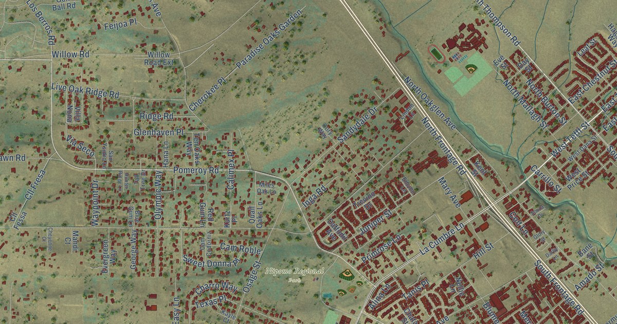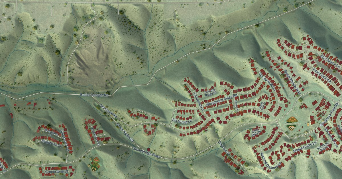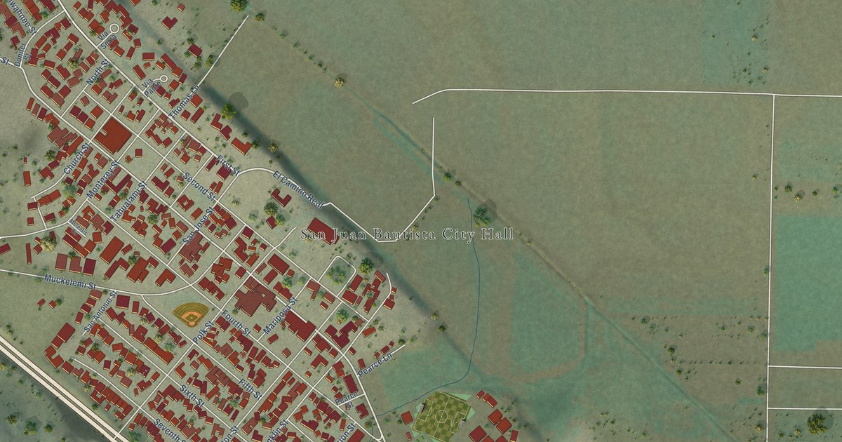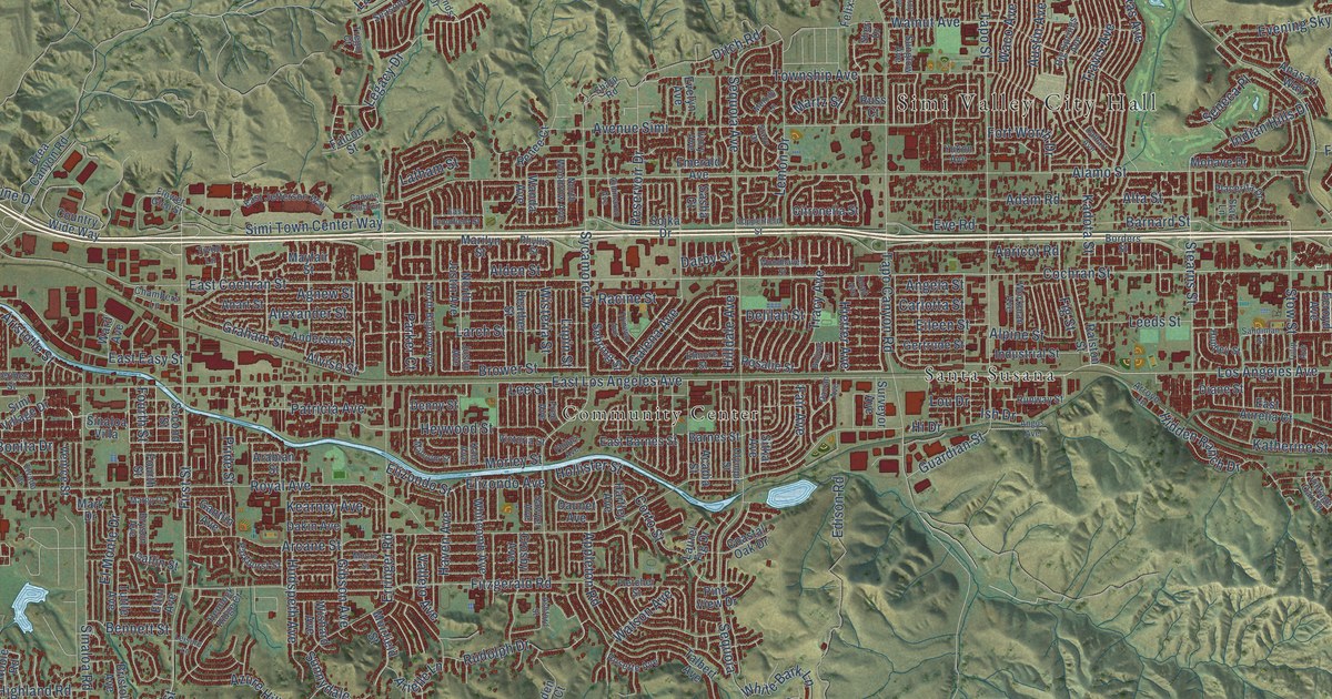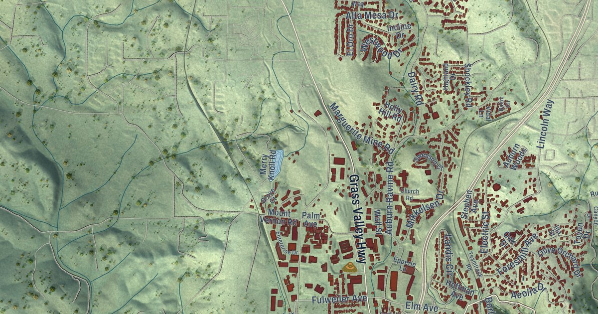
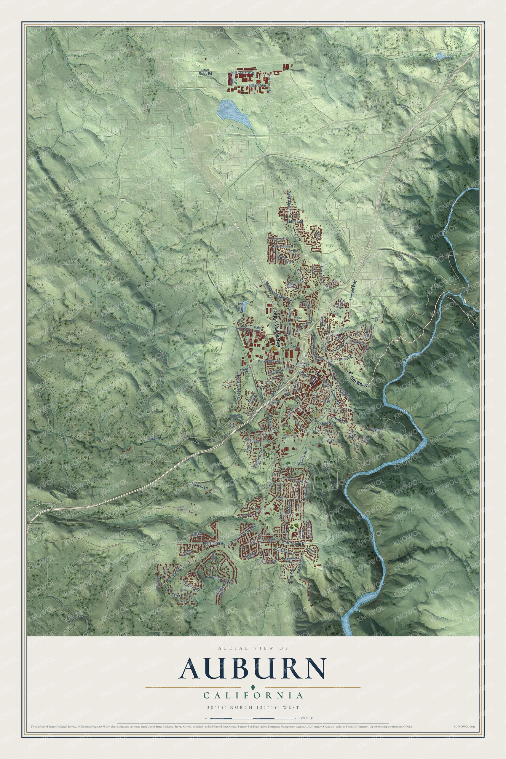
This beautifully detailed map of Auburn, California was created in 2026 using aerial imagery combined with modern topographical, census, street and landmark data. It's a modern aerial view of Auburn in Placer County, California, that combines modern data with a vintage aesthetic. The roads feature printed names, and if you look closely you can find your exact house accurately shown in its correct location.
Explore an aerial view of Auburn, California
On this map you'll find Auburn City Hall, Grass Valley Highway, El Dorado Street, High Street, Auburn Folsom Road, Lincoln Way, Elm Avenue, Hidden Creek Drive, Brook Road, Fulweiler Avenue, Luther Road, Nevada Street, and more. Each red shape is a building, so zoom in on the preview and look for yours.
Every town has a first chapter, and Auburn is no exception. The record at ohp.parks.ca.gov puts it this way: "First known as 'North Fork' or 'Woods Dry Diggins,' the settlement was given the name Auburn in the fall of 1849."
Auburn is a city in Placer County. The Census Bureau counted 13,776 people here in 2020.
Take a closer look at the Auburn map
Names on this map
These names are printed on this map.
Places: Auburn City Hall and Gossonia Park.
Streets and roads: Grass Valley Highway, El Dorado Street, High Street, Auburn Folsom Road, Lincoln Way, Elm Avenue, Hidden Creek Drive, Brook Road, Fulweiler Avenue, Luther Road, Nevada Street, Sacramento Street.
More street names, A to Z
Aeolia Drive, Agard Street, Alta Mesa Drive, Arroyo Drive, Auburn Ravine Road, Auburn Woods, Awali Avenue, Baltic Circle, Baltimore Road, Belmont Drive, Bill Clark Way, Blocker Drive, Bluffs Place, Borland Avenue, Brewery Lane, Buena Vista Street, Burlin Way, Camjen Lane, Canyon Drive, Carolyn Street, Chana Drive, Cherry Avenue, Church Road, Dairy Lane, Dairy Road, Dale Drive, Deerbrooke, Del Rey, Eagles Nest, Earhart Avenue, East Street, Electric Street, El Oro Drive, Enterprise Drive, Epperle Lane, Fairgate Road, Fawn Creek, Finley Street, Forest Court, Foresthill Avenue, Forgotten Road, Foxridge Circle, Garfield Street, Gavin Circle, Ginger Drive, Gold Street, Grove Court, Gum Lane, Herdal Drive, Herrington Drive, Highland Drive, Hoffman Avenue, Holly Hill Road, Homestead Way, Humbug Way, Ida Street, Incline Drive, Indian Hill Road, Lakeridge Drive, Landis Circle, Live Oak Street, Lupine Lane, Maidu Drive, Maple Street, Margaret Court, Marguerite Mine Road, Marina Avenue, Marion Way, Merry Knoll Road, Mikkelsen Drive, Mont Vista Drive, Mount Vernon Road, New Airport Road, Norman Lane, Oak Ridge Way, Oak Street, Oakwood Drive, Olive Orchard Drive, Olive Street, Orrin Drive, Pacific Avenue, Palm Avenue, Peregrine Way, Perry Ranch Road, Pine Street, Placer Street, Pleasant Avenue, Quail Hollow Drive, Racetrack Street, Recreation Drive, Red Dog Lane, Ridgeview Circle, Rio Camino Street, Riverview Drive, Robie Drive, Rogers Lane, Rosemary Drive, Russell Road, Sawka Drive, Sawyer Street, Shady Run, Shale Ridge Road, Shirland Tract Road, Shockley Road, Skyridge Drive, Snowy Owl Way, Stephen Avenue, Summit Street, Sunrise Ridge Circle, Sutton Place, Swenson Court, Tanglewood Drive, Tanoak Way, Teal Court, Teamtrack Road, Timberline Lane, Toyon Drive, Tyler Drive, Vidal Lane, Vintage Way, Virginia Street, Vis del Lago, Vis del Monte, Wall Street, Walsh Street, Welty Lane, Westwood Drive, Wilbur Way, Wise Road.
Created by KNOWOL in 2026. The buildings are small red shapes, the roads carry their printed names, and shaded relief shows the shape of the land. The title panel reads "AERIAL VIEW OF AUBURN CALIFORNIA" with 38°54' NORTH 121°04' WEST.
Hang it in the hallway, the office or the cabin, or give it to someone who left Auburn and still calls it home. Open the preview and look for a street you know. See sizes and frames for the Auburn map.