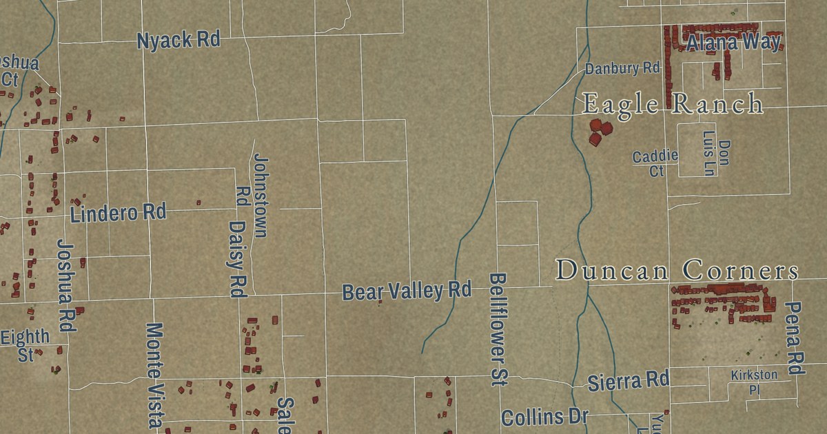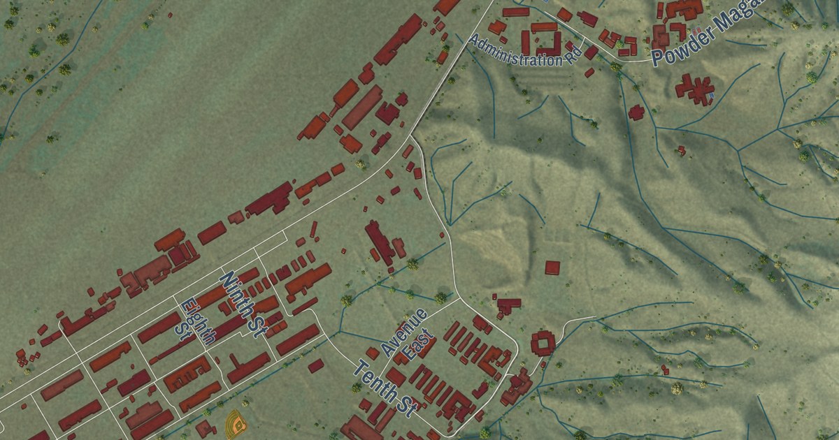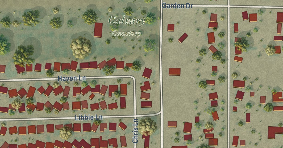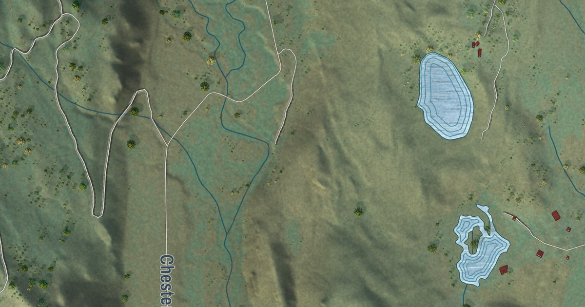
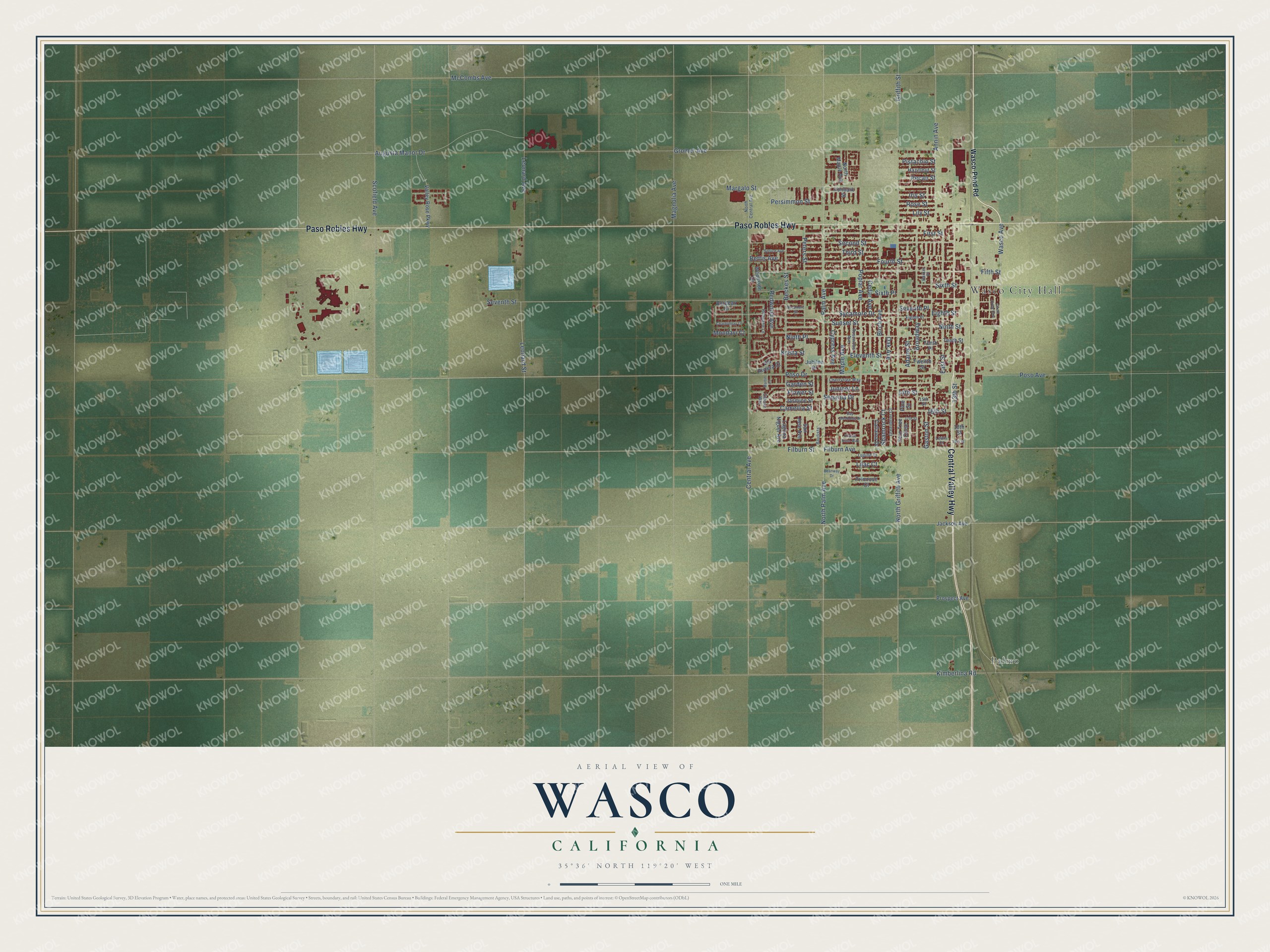
This beautifully detailed map of Wasco, California was created in 2026 using aerial imagery combined with modern topographical, census, street and landmark data. It’s a one-of-a-kind view of Wasco that combines accurate data with a vintage aesthetic. The map shows every building in its true location, many of the roads carry their names, and the shaded topographic relief shows the shape of the land.
Explore an aerial view of Wasco, California
On the map you’ll find Wasco City Hall and Palmo, along with Central Valley Highway, Paso Robles Highway, Sunset Street, Poso Drive, Poso Avenue, Seventh Street, Gromer Avenue, Scofield Avenue, North Palm Avenue, Palm Avenue, and more. If you look closely you can even find your house accurately drawn in its correct location. Zoom in on the preview to look for yours.
Did you know this piece of Wasco, California history?
From the National Park Service: "From 1929 through 1947 the Wasco Union High School Auditorium played a pivotal role in the architectural evolution and social history of Wasco."
Take a closer look at the Wasco map
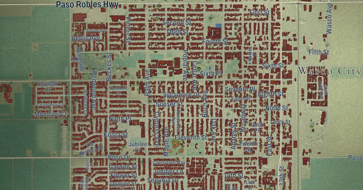
Street and place names on the Wasco, California map
These names are printed on the map of Wasco, California.
Places: Wasco City Hall and Palmo.
Streets and roads: Central Valley Highway, Paso Robles Highway, Sunset Street, Poso Drive, Poso Avenue, Seventh Street, Gromer Avenue, Scofield Avenue, North Palm Avenue, Palm Avenue, North Griffith Avenue, Central Avenue.
More street names, A to Z
13th Street, 14th Street, 15th Street, 16th Street, 17th Street, 18th Street, 19th Street, Adams Street, Annin Avenue, Augusta Manor Drive, Barker Place, Bautista, Bay Meadows Drive, Beanway Drive, Beckes Street, Bettis Avenue, Birch Avenue, Bordeax Drive, Broadway, Camellia Street, Catlaina Drive, Cedar Avenue, Chardonnay Lane, Cherrytree Way, Circle Drive East, Cypress Avenue, East Street, Eighth Place, Eighth Street, Eleventh Street, Fern Tree Close, Fifth Street, Filburn Avenue, Filburn Street, First Street, Flower Street, Fourth Street, Garden Street, Gaston Street, Glacier Way, Greenbrier Court, Griffith Street, Hazelnut Street, Hollytree Lane, Iris Street, Ironbark Street, Jackson Avenue, Jasmine Street, Jubilee Drive, Juniper Lane, Kimberlina Road, Krista Street, Laguna Niguel Avenue, Leonard Avenue, Leonard Street, Lewis Court, Lilac Court, Lily Street, Lupine Court, Magnolia Avenue, Maple Avenue, Margalo Street, Martin Court, McCombs Avenue, Mondavi Court, Ninth Place, Ninth Street, North Central Avenue, North Maple Avenue, Oak Avenue, Pecan Street, Persimmon Street, Peters Street, Pine Street, Pistachio Street, Poplar Avenue, Prairie Rose Way, Primrose Court, Prospect Avenue, Redwood Avenue, Rose Street, Rosewood Avenue, San Jose Avenue, Second Street, Sequoia Drive, Seventh Place, Shamrock Court, Sixth Place, Sixth Street, Spruce Avenue, Sycamore Drive, Sycamore Street, Tenth Place, Tenth Street, Third Street, Twelfth Street, Valley Rose Parkway, Via Riviera Court, Wasco-Pond Road, Wasco Avenue, Woodside Drive.
See the Wasco, California map on a wall
The Wasco map as an 18 x 24 inch print in a black frame.

This beautifully detailed map of Wasco makes an attractive addition to your office, library, or den, and it can even be used to teach children the geography and history of the area. It also makes a great gift for anyone with Wasco roots. When you’re done exploring, click here to get your copy of the Wasco map.